Countries full vector maps: PDF and Adobe Illustrator

Full Countries Vector Maps in Adobe Illustrator, PDF and other vector formats
For publishing, design, printing, media, publications, arts, projects, presentations, for architects, designers and builders, business, logistics.

List of the FULL COUNTRY MAPS

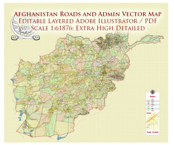
  1. Afghanistan = 2 maps
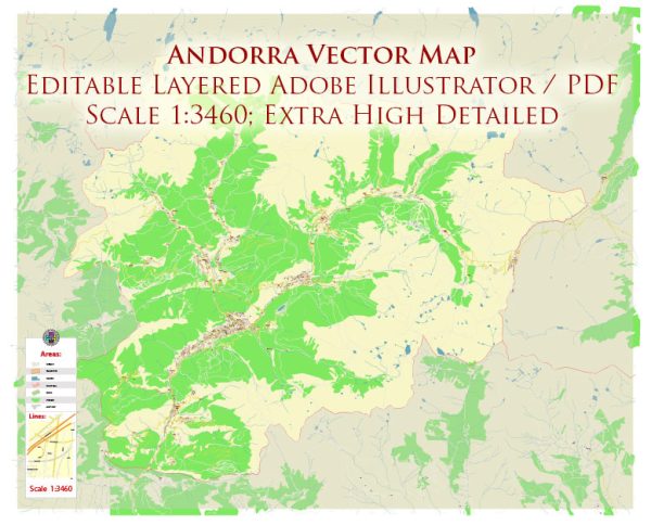
  2. Andorra = 2 maps
  3. Australia = 8 maps
  4. Austria = 8 maps
  5. Bahrain = 2 maps
  6. Belgium = 9 maps
  7. Bosnia and Herzegovina = 2 maps
  8. Botswana = 2 maps
  9. Canada = 13 maps
  10. Chile = 2 maps
  11. Colombia = 2 maps
  12. Croatia = 2 maps 
  13. Cuba = 1 map
  14. Cyprus = 3 maps
  15. Czech Republic = 8 maps
  16. Democratic Republic of the Congo = 2 maps
  17. Denmark = 5 maps
  18. Dominica = 3 maps
  19. Dominican Republic and Haiti = 16 maps
  20. Fiji = 2 maps
  21. Finland = 10 maps
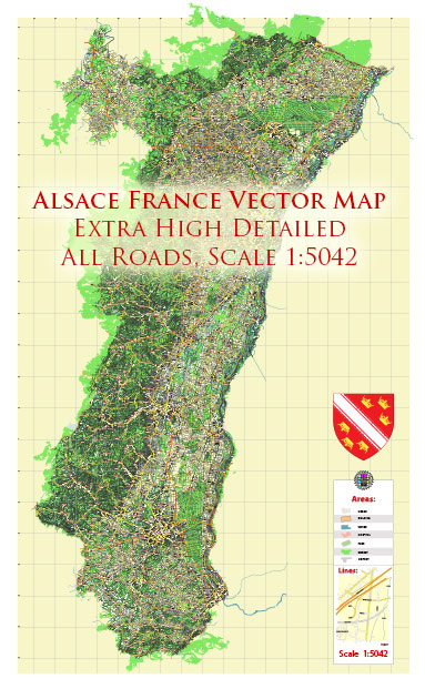
  22. France = 7 maps
  23. Gabon = 2 maps
  24. Germany = 10 maps
  1. Hawaii US = 2 maps
  2. Hong Kong China = 7 maps
  3. Iceland = 2 maps
  4. Indonesia = 2 maps
  5. Ireland = 5 maps
  6. Israel = 7 maps
  7. Italy = 10 maps
  8. Japan = 4 maps
  9. Lebanon = 2 maps
  10. Luxembourg = 9 maps
  11. Malawi = 2 maps
  12. Mexico = 5 maps
  13. Mexico + Central America = 4 maps
  14. Monaco = 4 maps
  15. Morocco = 2 maps
  16. Mozambique = 2 maps
  17. Namibia = 2 maps
  18. Netherlands = 7 maps
  19. New Zealand = 4 maps
  20. Nigeria = 4 maps
  21. Norway = 12 maps
  22. Poland = 10 maps
  23. Palestine = 2 maps
  24. Portugal = 2 maps
  25. Puerto Rico = 2 maps
  26. Pyrenees Area ES-FR = 2 maps
  1. Romania = 2 maps
  2. Saint Lucia = 2 maps
  3. Singapore = 7 maps
  4. Slovakia = 2 maps
  5. Slovenia = 2 maps
  6. South Africa = 6 maps
  7. Spain = 8 maps
  8. Sweden = 8 maps
  9. Switzerland = 2 maps
  10. Syria = 2 maps
  11. Taiwan = 2 maps
  12. Tanzania = 2 maps
  13. Tasmania (island) = 4 maps
  14. Thailand = 2 maps
  15. UK Great Britain = 6 maps
  16. UK + Ireland Geological + Relief =2 maps
  17. Ukraine = 2 maps
  18. United States = 42 maps
  19. World = 24 maps
  20. Zambia = 2 maps
  21. Zimbabwe = 2 maps
  22. Central America and Mexico and Caribes = 4 maps
  23. Oceania and South-East Asia = 2 maps
Author: Kirill Shrayber, Ph.D.

I have been working with vector cartography for over 25 years, including GPS, GIS, Adobe Illustrator and other professional cartographic software.
Linkedin: https://www.linkedin.com/in/kirill-shrayber-0b839325/
Twitter: https://twitter.com/vectormapper

Are we missing some maps? Let us know!
What map do you need?

    We will upload it within the next 24 hours and notify you by Email.

    Menu