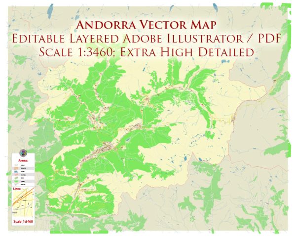
Vector Maps of the Andorra : tiny, independent principality situated between France and Spain in the Pyrenees mountains. It’s known for its ski resorts and a tax-haven status that encourages duty-free shopping. Capital Andorra la Vella has boutiques and jewelers on Meritxell Avenue and several shopping centers. The old quarter, Barri Antic, houses Romanesque Santa Coloma Church, with a circular bell tower.
Capital: Andorra la Vella
Area: 468 km²
Download royalty free, editable vector maps of Andorra in high resolution digital PDF and Adobe Illustrator format.
 Author: Kirill Shrayber, Ph.D.
I have been working with vector cartography for over 25 years, including GPS, GIS, Adobe Illustrator and other professional cartographic software.
Linkedin: https://www.linkedin.com/in/kirill-shrayber-0b839325/
Twitter: https://twitter.com/vectormapper

