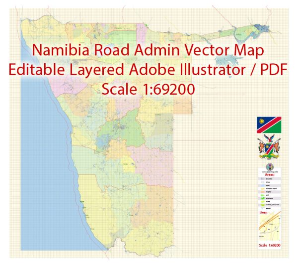
Vector Maps of the Namibia : country in southwest Africa, is distinguished by the Namib Desert along its Atlantic Ocean coast. The country is home to diverse wildlife, including a significant cheetah population. The capital, Windhoek, and coastal town Swakopmund contain German colonial-era buildings such as Windhoek’s Christuskirche, built in 1907. In the north, Etosha National Park’s salt pan draws game including rhinos and giraffes.
Capital: Windhoek
Area:
• Total: 7825,615 km2 (318,772 sq mi)
Download royalty free, editable vector maps of Namibia in high resolution digital PDF and Adobe Illustrator format.
 Author: Kirill Shrayber, Ph.D.
I have been working with vector cartography for over 25 years, including GPS, GIS, Adobe Illustrator and other professional cartographic software.
Linkedin: https://www.linkedin.com/in/kirill-shrayber-0b839325/
Twitter: https://twitter.com/vectormapper

