World and continents vector maps: PDF and Adobe Illustrator

World and Continent Vector Maps in different projections, in the Adobe Illustrator, PDF and other vector formats for publishing, design, printing, publications, arts, projects, presentations, for architects, designers and builders, business, logistics. The most exact and detailed maps.
For printing LARGE (WALL) or SMALL (A4) format (please, see the preview and descriptions). DWG, DXF, CDR, ESRI Shapes and other formats, or you can’t find a map that you need – by request.

List of the World and Continent maps

  1. World all Maps = 29 maps
  2. World Dymaxion Projection = 6 maps
  3. World Political = 11 maps
  4. World Gall-Peters Projection (political) = 8 maps
  5. World Lambert Cylindrical Equal-Area Projection = 2 maps
  6. World Geo Lat-Long Projection = 4 maps
  7. World Robinson Projection = 2 maps
  8. World Mercator Projection = 2 maps
  9. World Relief (topo) and political = 3 maps
  10. Middle East = 2 maps
  11. World Interrupted Goode’s Homolosine Projection = 4 maps
  1. Africa Full Map = 2 maps
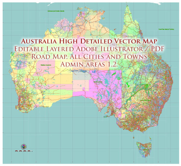
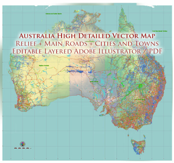
  2. Australia Continent = 4 maps
  3. Caribbean region = 2 maps
  4. Central America and Mexico and Caribes = 4 maps
  5. Europe + Asia (Eurasia) = 2 maps
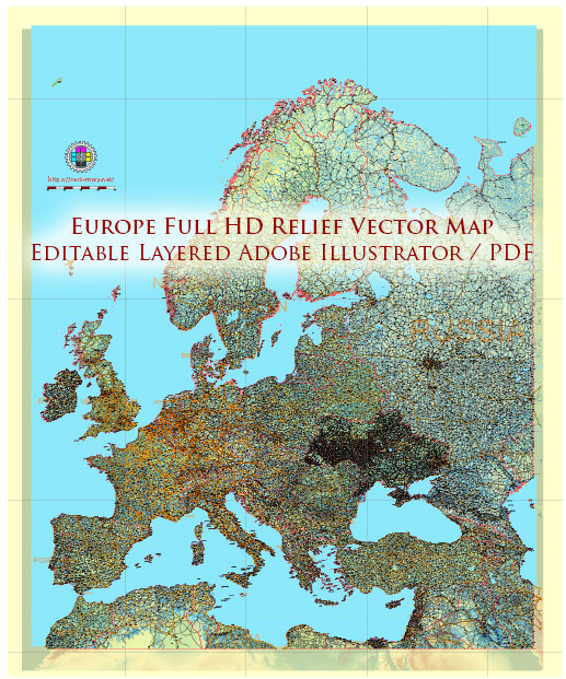
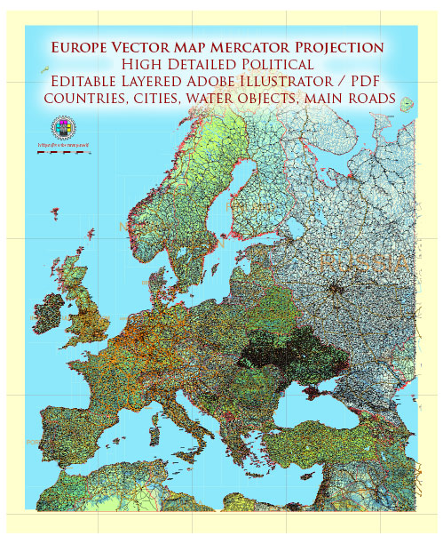
  6. Europe Extra Detailed Map (full) = 10 maps
  7. Flag Collection (all countries) = 2 archives
  8. Mexico = 5 maps
  9. Pacific Coast North America = 2 maps
  10. South America = 2 maps
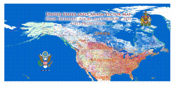
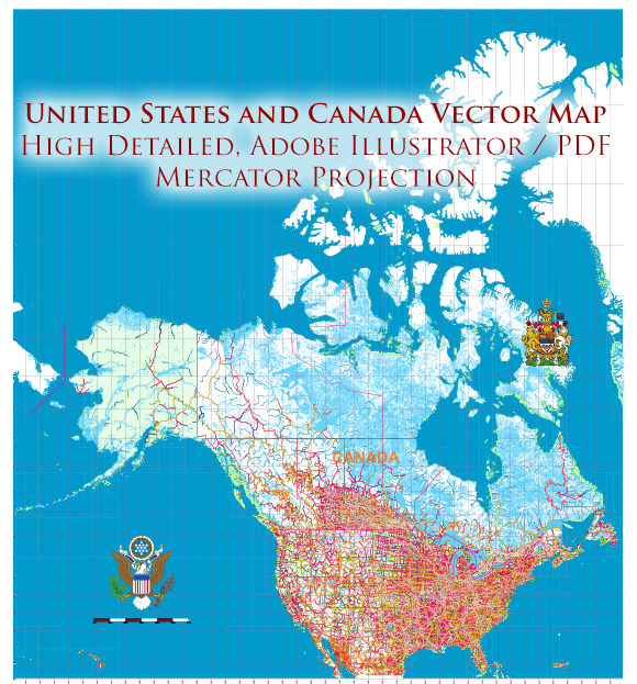
  11. US + Canada North America = 7 maps
  12. Oceania and South-East Asia = 2 maps
Author: Kirill Shrayber, Ph.D.

I have been working with vector cartography for over 25 years, including GPS, GIS, Adobe Illustrator and other professional cartographic software.
Linkedin: https://www.linkedin.com/in/kirill-shrayber-0b839325/
Twitter: https://twitter.com/vectormapper

Are we missing some maps? Let us know!
What map do you need?

    We will upload it within the next 24 hours and notify you by Email.

    Menu