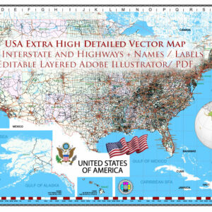
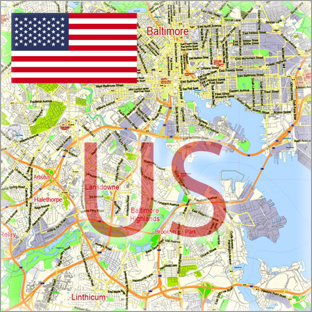
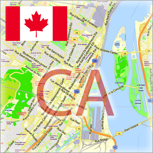
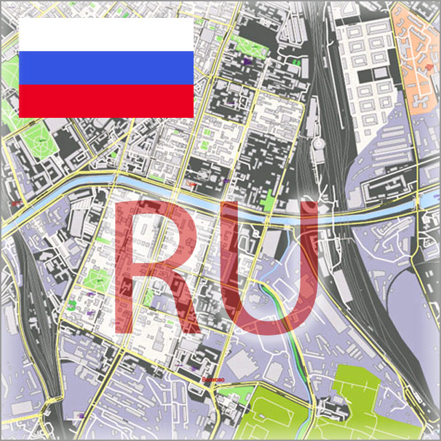
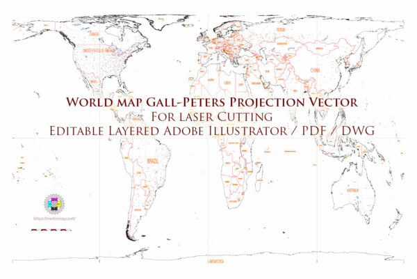
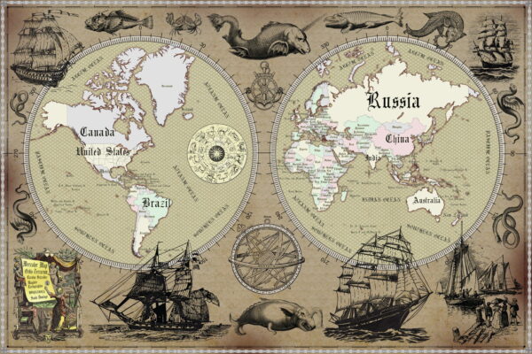
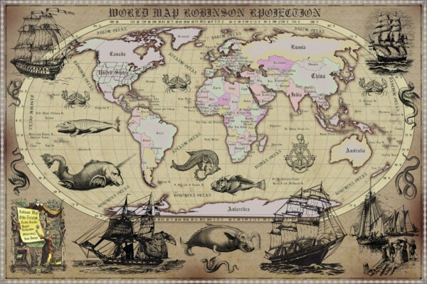
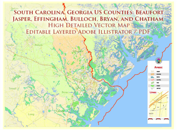
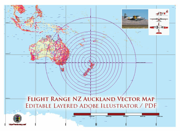
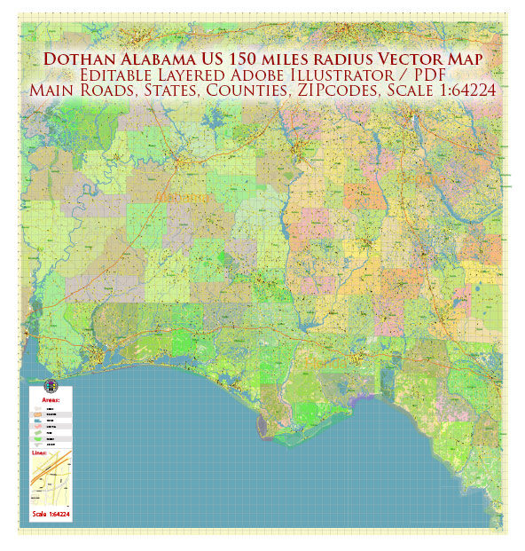
Vector Maps of the Cities, States and Countries: High Detailed Editable Printable Street / Road Maps in Adobe Illustrator, PDF, CDR, DWG, DXF
Andorra | Armenia | Austria | Belarus | Belgium | Bosnia Herzegovina | Bulgaria | Croatia | Cyprus | Czech Republic | Denmark | England UK | Estonia | Finland | France | Georgia | Germany | Greece | Hungary | Iceland | Israel | Ireland | Italy | Latvia | Lithuania | Luxembourg | Moldova | Monaco | Netherlands | North Macedonia | Norway | Poland | Portugal | Romania | Russia | Serbia | Slovakia | Slovenia | Spain | Sweden | Switzerland | Ukraine | United Kingdom of Great Britain
South America Full | Argentina | Bolivia | Brazil | Chile | Colombia | Dominica | Ecuador | Guadeloupe (FR) | Panama | Paraguay | Peru | Saint Lucia | Uruguay | Venezuela | Central America, Mexico and Caribes
Afghanistan | Azerbaijan | Bahrain | China + Hong Kong | Cyprus | Dubai – Emirates UAE | India | Indonesia | Iran | Japan | Kuwait | Kyrgyzstan | Lebanon | Malaysia | Palestine | Pakistan | Philippines | Saudi Arabia | Singapore | South Korea | Syria | Taiwan | Thailand | Turkey | Vietnam | Asia South-East + Oceania
Africa Full Map | Botswana | Central African Pep. | Dem. Rep. Congo | Egypt | Gabon | Kenya | Malawi | Morocco | Mozambique | Namibia | Nigeria | Rwanda | South Africa | Tanzania | Zambia | Zimbabwe
Afghanistan | Africa Full | Alsace France | Andorra | Aquitaine France | Asia South East and Oceania | Australia | Austria | Auvergne France | Bahrain | Basse-Normandie France | Belgium | Bohol and Panglao, Philippines | Bosnia and Herzegovina | Botswana | Bourgogne France | Bretagne France | Canada | Central African Republic | Central America and Mexico and Caribes | Chile | Chengdu, Xi’An and Chonquing China | Colombia | Congo Democratic Republic | Croatia | Cuba | Cyprus | Czech Republic | Denmark | Dominica | Dominican Republic and Haiti | Eurasia | Europe Full | Fiji | Finland | Flags all Countries | France | Fuerteventura Canary Spain | Gabon | Germany | Golden Circle Iceland | Guadeloupe France | Hawaii US | Hong Kong China | Iceland | Indonesia | Iran | Ireland | Israel | Italy | Japan | Java, Indonesia | Kenya | Lagos State Nigeria | Lebanon | Luxembourg | Malawi | Mexico | Mexico + Central America | Middle East + South Europe + Northern Africa | Monaco | Morocco | Mozambique | Namibia | Netherlands | New Zealand | Nigeria | Norway | Oceania and South-East Asia | Ontario South Part Canada | Pacific Coast | Poland | Palestine | Portugal | Puerto Rico | Pyrenees Area ES-FR | Quebec South Part Canada | Romania | Russia | Rwanda | Saint Lucia | Scotland UK | Singapore | Slovakia | Slovenia | South Africa | South America Full | Spain | Sweden | Switzerland | Syria | Taiwan | Tanzania | Tasmania (island) | Thailand | Turkey | UK Great Britain | UK + Ireland Geological + Relief | Ukraine | United States | World | Zambia | Zimbabwe
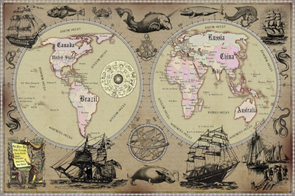
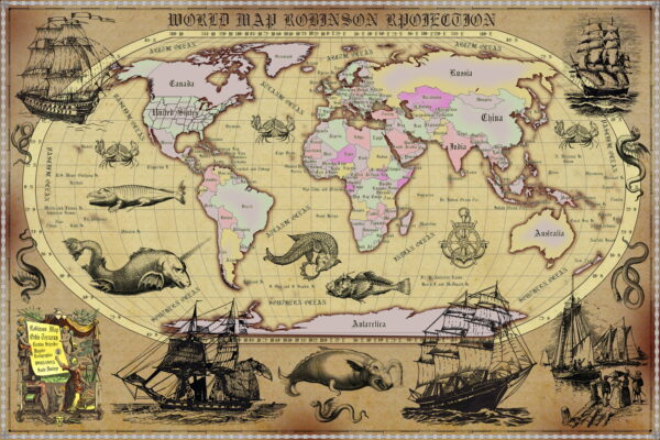
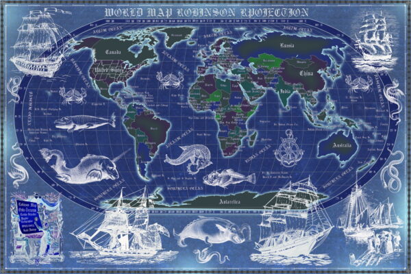
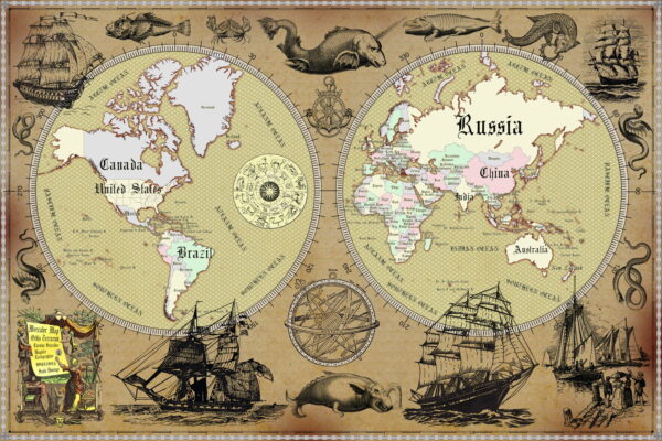
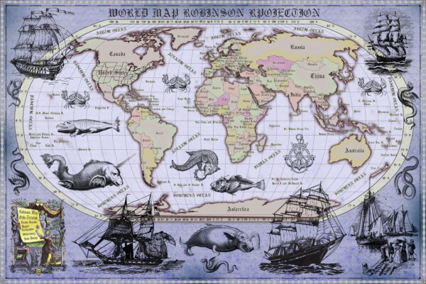
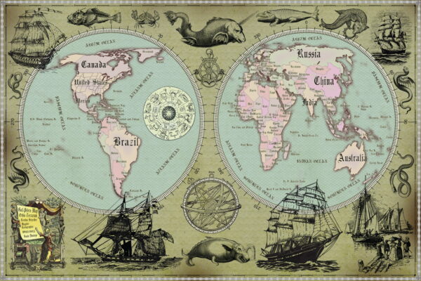
World Map Gall Peters Projection (political) | World Dymaxion Projection | World Interrupted Goode’s Homolosine Projection | World Political | World Relief (topo) and political | World all Maps = 37 maps | World Dymaxion Projection = 6 maps | World Political = 11 maps | World Gall-Peters Projection (political) = 8 maps | World Lambert Cylindrical Equal-Area Projection = 2 maps | World Geo Lat-Long Projection = 9 maps | World Robinson Projection = 2 maps | World Mercator Projection = 2 maps | World Relief (topo) and political = 3 maps | Middle East + Nortnern Africa + South Europe (topo) and political = 2 maps | Vintage World Maps – Old Style World Map Posters (24×36 in, 300 DPI, Print-Ready JPG) = 38 maps
Alaska State US | Athens Greece Eng | Barcelona Spain | Berlin Germany | Brooklyn New York US | Calgary Canada | California State US | Cape Town South Africa | Chicago Illinois US | Copenhagen Denmark | Dublin Ireland | Denmark | Essen Bochum Germany | Europe Full | Frankfurt am Main Germany | Georgia State US | Helsinki Finland | Jersey City New Jersey US | Illinois State US | Italy | Lisbon Portugal | London Greater UK | Louisiana State US | Madrid Spain | Memphis Tennessee US | Mexico City | Miami Florida US | Michigan State US | Milano Italy | Minnesota State US | Missouri State US | New Mexico State US | New York City US | New Zealand | Norfolk Newport Virginia US | Ohio State US | Oklahoma State US | Oslo Norway | Paris France | Pennsylvania State US | Prague Czech Republic | Queens New York US | Rome Italy | San Diego California US | Staten Island New York US | Stockholm Sweden | Vancouver Washington US | Venice Italy | Vienna Austria | Warsaw Poland | World Gall Peters | World Lambert | World Geo Lat Long | World Mercator | World Robinson | Yonkers New York US
Review from Google Business
You can create your own review here: https://g.page/r/CWA-dSFiu2pOEAE/review
These graphic files are usually separated into layers – color fills, streets and roads, arrows of street directions, road labels, objects,
street names, object names, places names (such as city and town, suburb, borough, district, etc.), grids, scales, and map legend. All names are in text/curves format.
Please, see the preview gallery of each map and carefully read the descriptions.
Usually, maps of all cities are available in at least two scale versions – high detailed – 100 meters scale (all street names) and low detailed – 2000 meters scale (names are shown only for main streets). It is made for printing in various formats.
Standard City Plan: Easy to edit and print, usually includes the specific city and suburbs. Most City Plan vector maps are provided in full version – containing highways, streets, city parks, rivers, lakes, and other important objects. All types of objects have unique universal parameters – large streets are displayed with one type of lines, small streets – with other types, highways – the third type, etc., that makes possible mass editing of all objects of the same type. All street and objects names use text format and are fully editable.
Here you will find all maps for your project in one place.
Many maps contain additional information – for example, postal codes and ZIP-codes areas, or transport stations, sometimes – transport schemes. Usually, this additional data is added to separate layers at the request of the customer. It’s free.
On this website: more than 4.300 vector maps of cities, countries, states and administrative areas.
FAQ:
Do you have any other maps of this place?
In most cases – yes, there are other maps of this place. Use the search (above), just enter the name of the city, state, country.
Is this exactly a vector map? How much can I zoom in or out?
Yes, it really is a vector map. You can zoom in or out as much as you like without affecting the resolution. Note that when you zoom in or out of the map (the entire map), ALL objects zoom in proportionally and dimensionally.
All objects on the map – roads (by type), street names, names of places (cities) and others – are divided into layers. When working with a map, a good solution will be to block all layers that you do not work with.
If you need to increase only the inscriptions (for example, street names) – this is possible. But, if you enlarge, for example, only street names with the operations “select all objects in the layer”, than click “objects” -> “transform” -> “transform each (for example, 200%)” – some street names can begin to intersect, also may go out of the curved street lines.
This will need to be edited manually.
Try one of our free map samples to see the maps in action >>>
The map preview below shows only bitmaps (JPG) of vector map fragments, and for practical reasons the preview is limited to certain levels of scaling.
Is the map completely editable?
Yes, everything you see on the map can be edited and stylized in different ways. You can try one of our free map samples to see how the map works.
I don’t need certain features of the map, can I hide them?
Yes, objects in your map are organized into layers that you can hide, delete, or edit individually.
You can try one of our free map samples to see the typical layers on our map >>>
Does the map not cover the area I need?
Of course, we can make a map for you that covers another area, quickly and at affordable prices.
Please contact us! >>>
Maps of the cities and countries in vector formats: exact editable printable up-to-date Adobe Illustrator PDF EPS SVG CorelDraw AutoCAD DWG DXF Map Clipart for Design and Printing Digital Cartography
These digital vector maps in Adobe Illustrator, PDF, CorelDraw, DWG and other formats are latest, exact and detailed editable city maps. Perfect for publishing, design works, large format printing, presentations, architectural and urban projects, business and logistics. You can edit and publish these maps without limitations, it is Royalty Free.
If you need something special or just can`t find a map, please let us know: You will receive your map within 24 hours
These high detailed road and highway and street maps are fully editable multi-layer Adobe Illustrator and PDF files.
Adobe Illustrator files are vector format files that provide clarity and high quality images at any magnification.
All primary map objects/features are on their own layer. For a complete list of objects/layers, see the list of layers.
This map also comes as a fully editable Adobe PDF map file. This PDF can be opened using Adobe Reader’s free software, which allows you to zoom in on any part of the map while keeping clear lines and text at any level of magnification.
All our Adobe PDF map files can easily be included in a wide range of other software products such as Microsoft Word and PowerPoint, as well as Adobe Photoshop and Illustrator, Adobe Indesign, AutoCAD, ArchiCAD and others.
Our PDF maps are also 100% editable in Illustrator 10 and above, allowing you to select and edit any object on the map (e.g. state/county/country boundaries, road lines, text, etc.).
All major map objects are on their own intuitively labeled layers, making it easy to show/hide, edit, and delete each major map object. For a complete list of features/layers, see the list of layers.
About Our Digital Maps
VectorMap.Net offers publishers, graphic designers, web developers, and multimedia developers instant access to beautiful, high-quality, and fully editable Adobe Illustrator maps.
We offer thousends of of vector maps, from simple blank maps of the US, all countries and the world (FREE!) to highly detailed maps incorporating dozens of editable layers for county lines, buildings, landuse areas, major roads, residential streets of the cities and urban areas.
All of our maps were designed so that the map’s core objects, such as state lines, text, county lines and other core map symbols, were intuitively layered and fully editable in digital vector format.
Designed by designers and publishers: DPI for print: 150; 300; 600; 1200
Because each of our digital maps is available in Adobe Illustrator or editable PDF, both of which take a vector approach to displaying images, you can easily enlarge any part of our maps without any degradation in the quality of the map’s text, lines and symbols, regardless of the magnification factor.
With Adobe Illustrator, you can easily trim parts of your map, add custom symbols, and change the colors and attributes of any objects as needed.
Why are our maps better than Google maps? Read here: >>>
Detailed Vector maps of the cities, states, regions, and countries in the popular formats: Adobe Illustrator, PDF, CorelDRAW, DWG, DXF.
Vector maps are separated by layers, scalable and fully editable. Here you can find ready-made maps up-to-date, or order a custom map of any area, city or country for your project.
Your custom map will be ready in 24 hours. The price of custom maps — same as on the site. Royalty free.
Vector maps for design, printing, publishing, media projects, business, architecture, urban planning, marketing, research and development projects.
New vector maps daily

Telephone No.+18098462286

