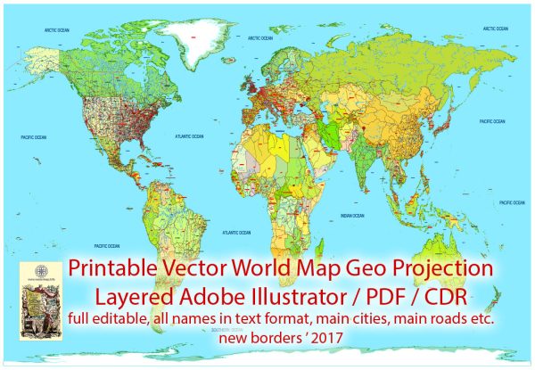
World Map Colored Political 01 with new borders, Main Roads, main Cities, States, all names, fully editable, Adobe Illustrator Printable Vector$ 57.00
World Map Vector CDR Colored Political with new borders, Main Roads 01 main Cities, States, all names editable CorelDraw in Layers$ 57.00
World PDF Map Colored Political new borders 01 Main Roads, main Cities, States, all names, fully editable, Adobe PDF Printable Vector$ 57.00
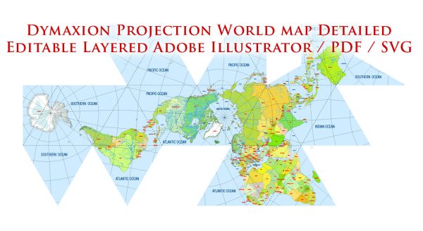
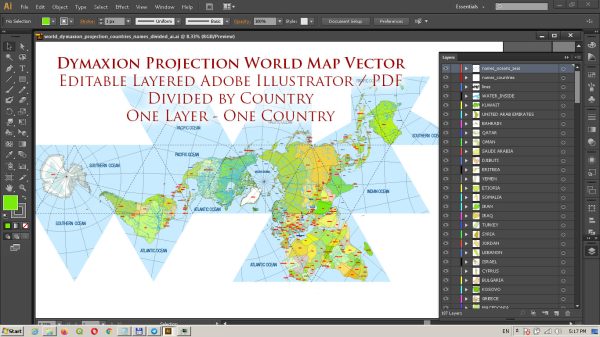
World PDF Vector Map: Dymaxion Projection Adobe PDF Detailed Divided by layers by Country names (areas)$ 47.00
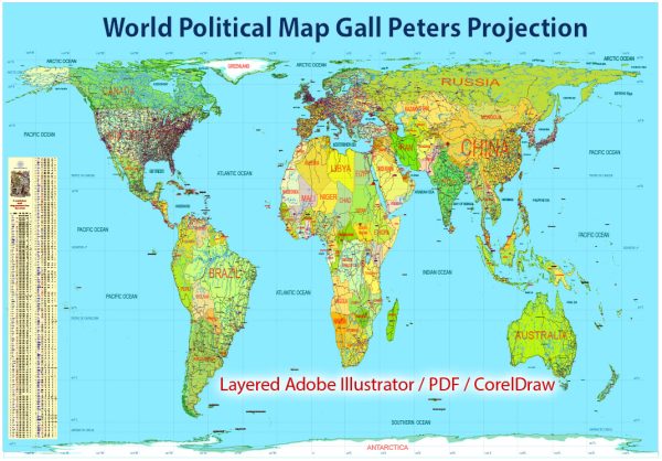
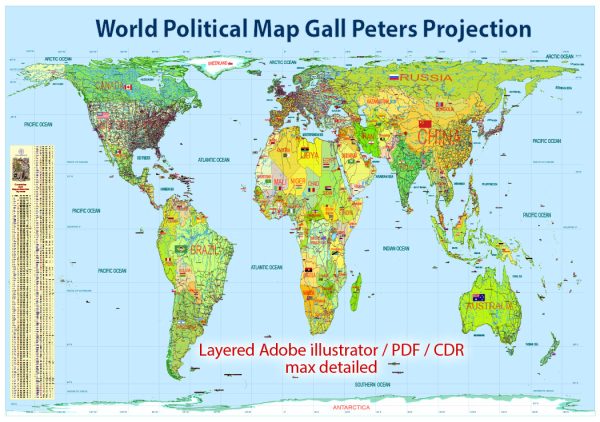
World Political Map extra detailed in Gall-Peters Projection 01 full editable, Adobe Illustrator$ 63.00
World Political Printable Vector Map 01 in Gall-Peters Projection full editable, Adobe Illustrator$ 63.00
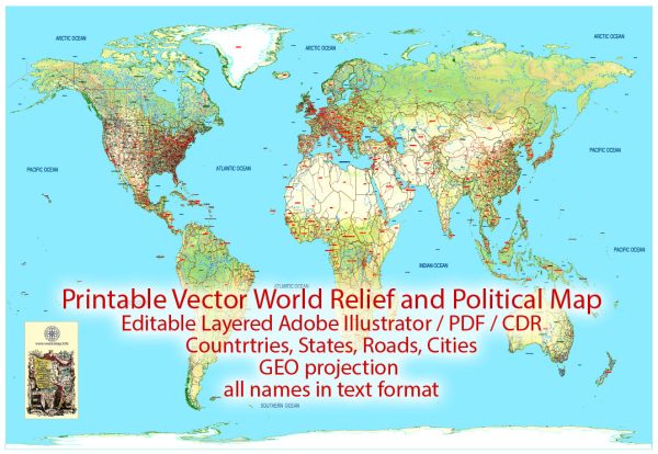
World Relief and Political PDF Map new borders, Main Roads, Main Cities, States, all names 01 editable, Adobe PDF Printable Vector$ 59.00
World Relief and Political Vector Map 01 CDR with new borders, Main Roads, Main Cities, States, all names, full editable CorelDraw in Layers$ 59.00