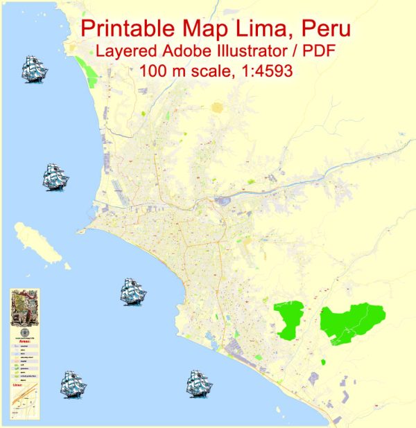
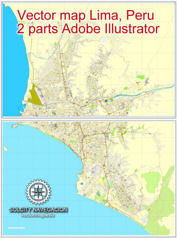
Vector Maps of the Peru : country in South America that’s home to a section of Amazon rainforest and Machu Picchu, an ancient Incan city high in the Andes mountains. The region around Machu Picchu, including the Sacred Valley, Inca Trail and colonial city of Cusco, is rich in archaeological sites. On Peru’s arid Pacific coast is Lima, the capital, with a preserved colonial center and important collections of pre-Columbian art.
Capital: Lima
Area:
• Total: 1,285,216 km2 (496,225 sq mi)
• Water: (%) 0.41
Download royalty free, editable vector maps of Peru in high resolution digital PDF and Adobe Illustrator format.
For printing LARGE (WALL) or SMALL (A4) format (please, see the preview and descriptions). DWG, DXF, CDR, ESRI Shapes and other formats, or you can’t find a map that you need – please contact us
 Author: Kirill Shrayber, Ph.D.
I have been working with vector cartography for over 25 years, including GPS, GIS, Adobe Illustrator and other professional cartographic software.
Linkedin: https://www.linkedin.com/in/kirill-shrayber-0b839325/
Twitter: https://twitter.com/vectormapper


