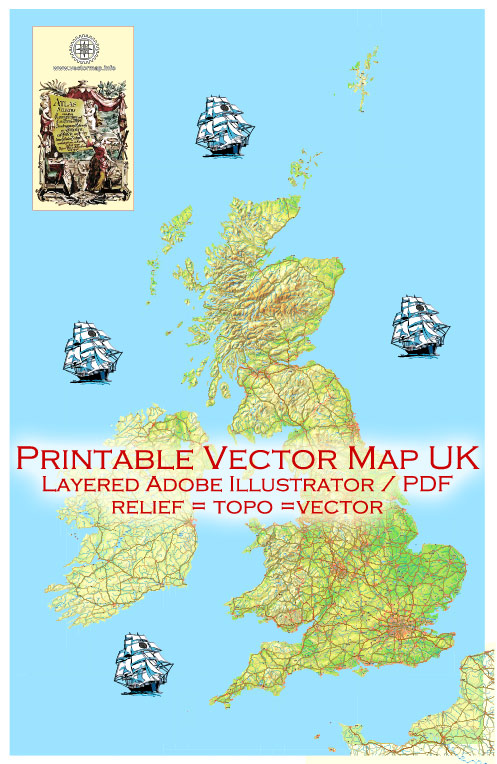
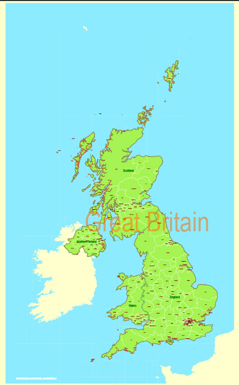
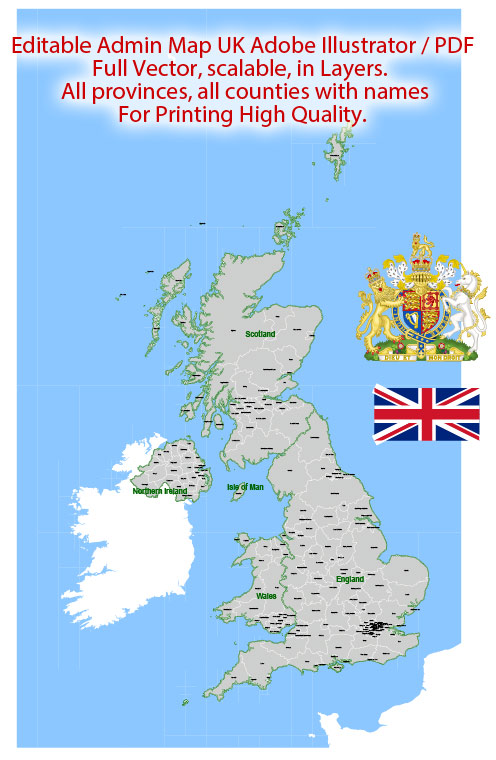
Vector Maps of the United Kingdom : made up of England, Scotland, Wales and Northern Ireland, is an island nation in northwestern Europe. England – birthplace of Shakespeare and The Beatles – is home to the capital, London, a globally influential center of finance and culture. England is also site of Neolithic Stonehenge, Bath’s Roman spa and centuries-old universities at Oxford and Cambridge.
The United Kingdom of Great Britain and Northern Ireland, commonly known as the United Kingdom (UK) or Britain, is a sovereign country in north-western Europe, off the northwestern coast of the European mainland. The United Kingdom includes the island of Great Britain, the north-eastern part of the island of Ireland, and many smaller islands within the British Isles.
Area:
• Total: 242,495 km2 (93,628 sq mi)
• Water: (%) 1.51
Population:
• Neutral increase 67,081,000
• Density 270.7/km2 (701.1/sq mi)
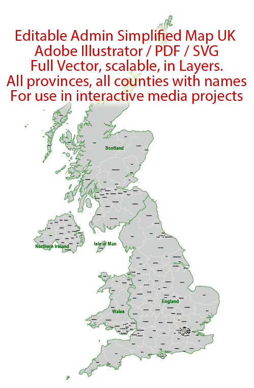
Download royalty free, editable vector maps of United Kingdom in high resolution digital PDF and Adobe Illustrator format.
Geography of the United Kingdom
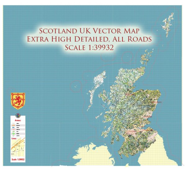
The United Kingdom (UK) is located in Western Europe, and consists of four countries: England, Scotland, Wales, and Northern Ireland. The UK covers an area of approximately 243,610 square kilometers (94,060 square miles), making it the 78th largest country in the world.
The UK is bordered by the Atlantic Ocean to the west and the North Sea to the east. The English Channel separates the UK from France and the rest of Europe. The UK also includes a number of islands, including the Isle of Wight, the Isles of Scilly, and the Channel Islands.
England is the largest country in the UK and covers an area of 130,395 square kilometers (50,301 square miles). Scotland is the second largest country and covers an area of 78,772 square kilometers (30,414 square miles), while Wales covers an area of 20,735 square kilometers (8,018 square miles). Northern Ireland covers an area of 14,139 square kilometers (5,459 square miles).
The UK has a varied topography, including mountains, hills, and flat plains. The highest mountain in the UK is Ben Nevis, which is located in Scotland and stands at 1,345 meters (4,411 feet) tall. The longest river in the UK is the River Severn, which runs for 354 kilometers (220 miles) from Wales to England.
The UK has a temperate maritime climate, which is influenced by the Atlantic Ocean and the Gulf Stream. The climate is mild and rainy throughout the year, with temperatures ranging from 0°C (32°F) to 30°C (86°F) depending on the season and location.
Road system of the United Kingdom
The road system in the United Kingdom is extensive and well-developed, with a total length of approximately 394,428 kilometers (245,541 miles) of paved roads, including motorways (highways), major and minor roads, and local streets. The road network is maintained and managed by several government agencies, including the Department for Transport, Highways England, and local authorities.
The UK has a network of motorways (M-roads), which are high-speed highways designed for fast, long-distance travel. The first motorway in the UK, the M1, was opened in 1959 and it now spans 386 kilometers (240 miles) from London to Leeds. The UK motorway network has since expanded and now includes over 3,000 kilometers (1,864 miles) of roads.
In addition to motorways, there are also major roads (A-roads) that connect cities and towns throughout the country. These roads range in size and capacity from dual carriageways (divided highways) to single carriageways (one lane in each direction) and are often designated as primary or non-primary routes.
The UK also has an extensive network of minor roads, including local and rural roads, which are maintained by local authorities. These roads often have lower speed limits and may be narrower and more winding than major roads.
The road system in the UK is generally well-maintained, with regular safety inspections and maintenance programs. However, congestion can be a problem in some urban areas during peak travel times, and roadworks can cause delays and diversions. The UK also operates a system of tolls on some of its major bridges and tunnels, as well as on certain sections of motorways.
Railroad System of the United Kingdom
The railroad system in the United Kingdom is an important mode of transportation, with over 20,000 miles of track and thousands of trains operating every day. The UK rail network is operated by several companies, including Network Rail, which manages the infrastructure, and several train operating companies that run passenger services.
The rail network in the UK consists of two main types of trains: intercity and commuter trains. Intercity trains connect major cities and towns across the country, with several high-speed services such as the Virgin Trains and the Eurostar connecting London to other major cities across Europe.
Commuter trains operate on local routes, connecting towns and cities to suburban areas. These trains are often operated by private companies and provide regular services throughout the day, often during peak travel times.
The UK also has several light rail systems, such as the Docklands Light Railway in London and the Midland Metro in the West Midlands. These systems are designed to provide rapid and efficient transport within urban areas.
The rail network in the UK is generally well-maintained, with regular safety inspections and maintenance programs. However, delays and cancellations can occur due to technical problems, weather conditions, and strikes. The UK government has invested in modernizing the rail network, with plans for new high-speed lines, upgrades to existing infrastructure, and increased capacity to meet growing demand.
Water System of the United Kingdom
The water system in the United Kingdom is a complex network of rivers, canals, and waterways that are used for a variety of purposes, including transportation, recreation, and drinking water supply.
The UK has several major rivers, including the Thames, the Severn, and the Trent, which provide a significant amount of water for drinking, irrigation, and industry. These rivers are also used for transportation, with many ports and harbors located along their banks.
The UK also has a network of canals and waterways, which were historically used for transporting goods and materials between cities and towns. Today, these canals are used primarily for leisure activities, such as boating and fishing.
The UK water system is managed and regulated by several government agencies, including the Environment Agency and the Drinking Water Inspectorate. These agencies are responsible for ensuring that water quality standards are met and that the water supply is safe for human consumption.
In addition to the natural water system, the UK also has an extensive network of reservoirs and treatment plants that are used to store and purify drinking water. Water companies are responsible for managing the supply and distribution of water to households and businesses throughout the country.
The UK has also invested heavily in wastewater treatment infrastructure, with sewage treatment plants located throughout the country to ensure that wastewater is treated and safely discharged into the environment.
History of the United Kingdom Cartography
The history of cartography in the United Kingdom dates back to ancient times, with maps and charts used for navigation and exploration. The earliest known maps of the British Isles were created by the Romans, who produced a map of the region around 150 AD.
During the Middle Ages, maps were primarily used for navigation and were created by sailors and explorers. Many of these maps were highly inaccurate and lacked detail, but they were useful for guiding ships and exploring new territories.
In the 16th and 17th centuries, cartography in the UK began to develop as a science, with more accurate maps and charts being produced. The advent of printing allowed maps to be produced on a larger scale, and the use of triangulation and other surveying techniques allowed for greater accuracy.
One of the most famous early cartographers in the UK was John Speed, who produced a series of maps of the British Isles in the 17th century. His maps were highly detailed and included information on towns, cities, and other landmarks.
During the 18th and 19th centuries, the Ordnance Survey was established, which became the national mapping agency for the UK. The Ordnance Survey produced highly accurate maps of the entire country, including topographical maps, geological maps, and military maps.
In the 20th century, cartography in the UK continued to develop with the advent of digital mapping technology. Today, digital mapping tools such as Google Maps and Ordnance Survey Maps are widely used for navigation and exploring the UK. Cartography remains an important tool for understanding the geography and landscape of the UK, as well as for planning and development purposes.

 Author: Kirill Shrayber, Ph.D.