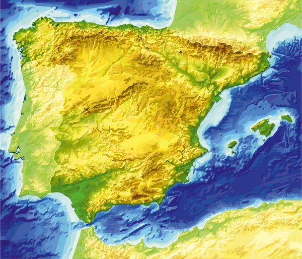
Vector Maps of the Spain : country on Europe’s Iberian Peninsula, includes 17 autonomous regions with diverse geography and cultures. Capital city Madrid is home to the Royal Palace and Prado museum, housing works by European masters. Segovia has a medieval castle (the Alcázar) and an intact Roman aqueduct. Catalonia’s capital, Barcelona, is defined by Antoni Gaudí’s whimsical modernist landmarks like the Sagrada Família church.
Capital: Madrid
Area:
• Total: 505,990 km2 (195,360 sq mi)
• Water: (%) 0.89
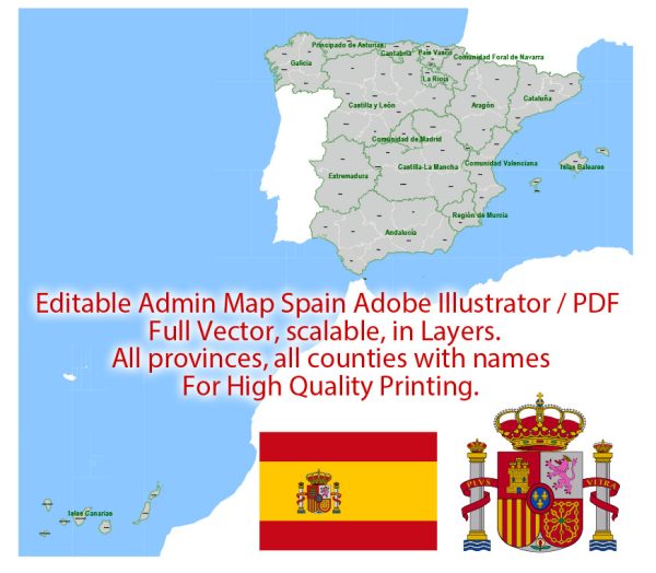
Instant download archives: royalty free, editable vector maps of Spain in high resolution digital PDF and Adobe Illustrator format.
All of our editable Spain vector maps are digital files,
which can be instantly downloaded in editable PDF or Adobe Illustrator format.
Objects on maps are usually divided into layers according to their types – lines, polygons, street names, object names (see map description!!!!)
Each of our Spain digital maps is available in Adobe Illustrator or editable PDF format, (or on request in any other known format for the same price)
which use a vector approach to display images,
you can easily enlarge any part of our maps without compromising text, line or graphic quality,
with any increase or decrease ratio.
Using a vector graphics editor such as Adobe Illustrator, CorelDraw, Inkscape, or Freehand
you can easily crop parts of the map, add custom characters, and change colors and font attributes as needed.
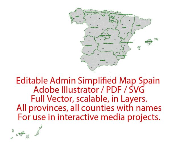
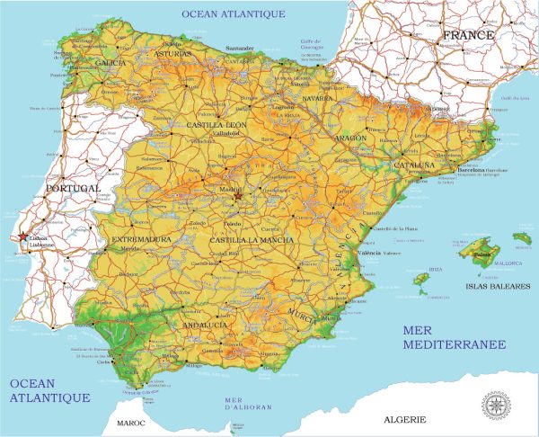
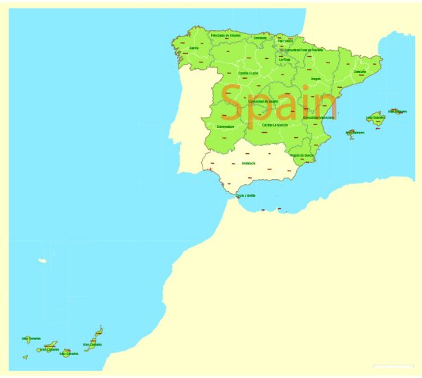
We have a variety of Spain vector maps with different levels of detail, from simple empty paths to highly detailed maps with roads and terrain layers.
Don’t see exactly what you’re looking for? Contact us to receive a special offer for an individual Spain map for your project.
ES: Archivos de descarga instantánea: mapas vectoriales editables libres de regalías de Spain en formato PDF digital de alta resolución y Adobe Illustrator.
Todos nuestros mapas vectoriales editables Spain son archivos digitales,
que se puede descargar instantáneamente en formato PDF editable o Adobe Illustrator.
Los objetos en los mapas generalmente se dividen en capas según sus tipos: líneas, polígonos, nombres de calles, nombres de objetos (ver descripción del mapa!!!!)
Cada uno de nuestros mapas digitales Spain está disponible en Adobe Illustrator o en formato PDF editable (o, a pedido, en cualquier otro formato conocido por el mismo precio)
que utilizan un enfoque vectorial para mostrar imágenes,
puede ampliar fácilmente cualquier parte de nuestros mapas sin comprometer la calidad del texto, las líneas o los gráficos,
con cualquier proporción de aumento o disminución.
Usar un editor de gráficos vectoriales como Adobe Illustrator, CorelDraw, Inkscape o Freehand
puede recortar fácilmente partes del mapa, agregar caracteres personalizados y cambiar colores y atributos de fuente según sea necesario.
Tenemos una variedad de mapas vectoriales Spain con diferentes niveles de detalle, desde simples caminos vacíos hasta mapas muy detallados con carreteras y capas de terreno.
¿No ves exactamente lo que estás buscando? Contáctenos para recibir una oferta especial para un mapa Spain individual para su proyecto.

 Author: Kirill Shrayber, Ph.D.