Germany cities vector maps: PDF and Adobe Illustrator

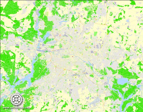
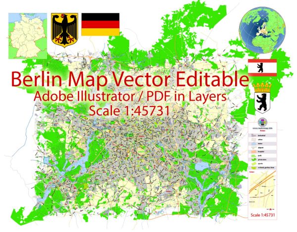
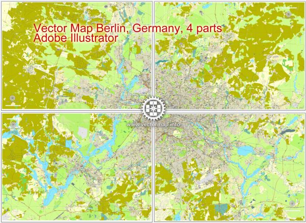
Germany Vector Street Maps and Full Germany Maps in Adobe Illustrator, PDF and other vector formats
For publishing, design, printing, media, publications, arts, projects, presentations, for architects, designers and builders, business, logistics
Vector Maps of the Germany : Western European country with a landscape of forests, rivers, mountain ranges and North Sea beaches. It has over 2 millennia of history. Berlin, its capital, is home to art and nightlife scenes, the Brandenburg Gate and many sites relating to WWII. Munich is known for its Oktoberfest and beer halls, including the 16th-century Hofbräuhaus. Frankfurt, with its skyscrapers, houses the European Central Bank.
Capital: Berlin
Area:
• Total: 357,022 km2 (137,847 sq mi)
• Water: (%) 1.27
Download royalty free, editable vector maps of Germany in high resolution digital PDF and Adobe Illustrator format.

Germany Admin, roads full detailed maps = 10 maps  >>>>>

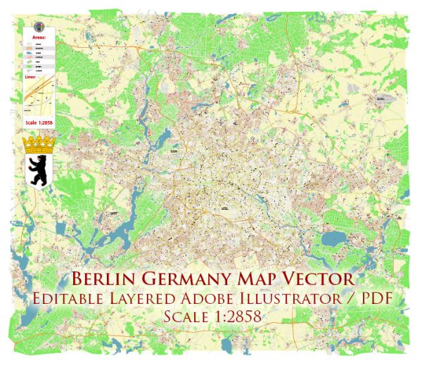
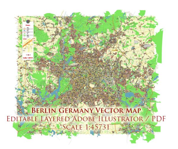
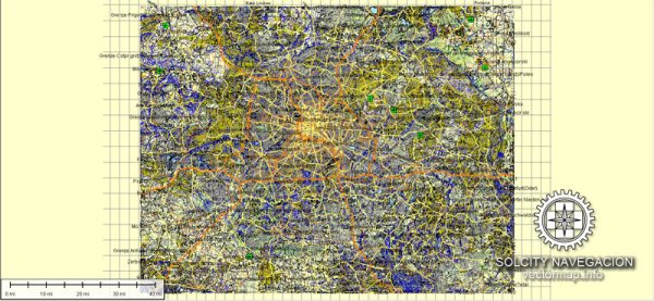
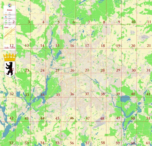
  1. Berlin = 10 maps
  2. Bochum = 2 maps
  3. Bonn = 2 maps
  4. Bremen = 5 maps
  5. Bremerhaven = 2 maps
  6. Cologne / Köln = 7 maps
  7. Darmstadt = 4 maps
  8. Dortmund = 7 maps
  9. Dresden = 7 maps
  10. Duisburg = 2 maps
  11. Dusseldorf = 9 maps
  12. Essen = 9 maps
  13. Frankfurt am Main = 8 maps
  1. Hamburg = 12 maps
  2. Hannover = 4 maps
  3. Karlsruhe = 7 maps
  4. Köln / Cologne = 7 maps
  5. Landau = 2 maps
  6. Leipzig = 5 maps
  7. Lubeck = 2 maps
  8. Mainz = 3 map
  9. Munich / Munchen = 10 maps
  10. Nuremberg = 5 maps
  11. Pforzheim = 2 maps
  12. Stuttgart = 4 maps
  13. Wiesbaden = 3 map
Author: Kirill Shrayber, Ph.D.

I have been working with vector cartography for over 25 years, including GPS, GIS, Adobe Illustrator and other professional cartographic software.
Linkedin: https://www.linkedin.com/in/kirill-shrayber-0b839325/
Twitter: https://twitter.com/vectormapper

Are we missing some maps? Let us know!
What map do you need?

    We will upload it within the next 24 hours and notify you by Email.

    Menu