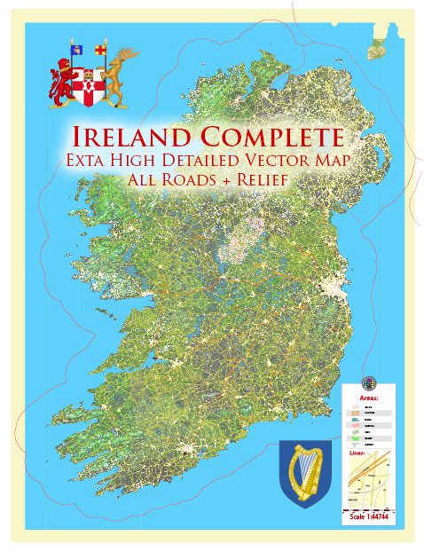
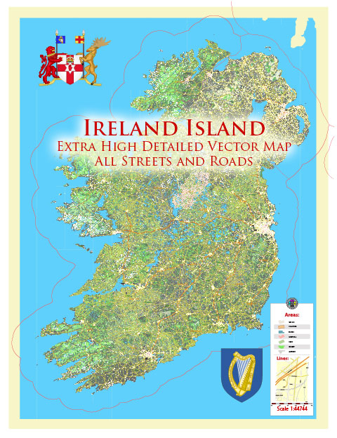
Vector Maps of the Republic of Ireland : occupies most of the island of Ireland, off the coast of England and Wales. Its capital, Dublin, is the birthplace of writers like Oscar Wilde, and home of Guinness beer. The 9th-century Book of Kells and other illustrated manuscripts are on show in Dublin’s Trinity College Library. Dubbed the “Emerald Isle” for its lush landscape, the country is dotted with castles like medieval Cahir Castle.
Area: 84,421 km²
Max length: 486 km
Max width: 275 km
Island group: British Isles
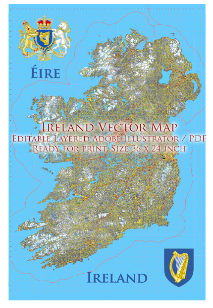
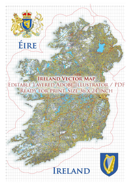
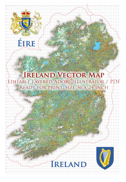
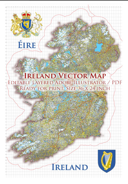
Download royalty free, editable vector maps of Ireland in high resolution digital PDF and Adobe Illustrator format.
Geograpy of Ireland
Ireland is an island nation located in northwestern Europe. It is the third-largest island in Europe and the twentieth-largest island in the world, with an area of approximately 84,421 square kilometers (32,595 square miles). Here are some key geographic features of Ireland:
Mountains: Ireland has several mountain ranges, including the Macgillycuddy’s Reeks, which is the highest range in the country, with its highest peak, Carrauntoohil, reaching a height of 1,038 meters (3,406 feet). Other notable mountain ranges include the Wicklow Mountains, the Slieve Bloom Mountains, and the Mourne Mountains.
Rivers: Ireland has several major rivers, including the Shannon, which is the longest river in the British Isles, with a length of 386 kilometers (240 miles). Other major rivers include the Liffey, the Lee, and the Boyne.
Lakes: Ireland has numerous lakes, the largest of which is Lough Neagh, located in Northern Ireland. Other notable lakes include Lough Corrib, Lough Derg, and Lough Ree.
Coastline: Ireland has a long and varied coastline, with many bays, inlets, and peninsulas. The western coast of Ireland is particularly rugged and scenic, with the Cliffs of Moher and the Ring of Kerry being popular tourist destinations.
Climate: Ireland has a temperate maritime climate, with mild winters and cool summers. The climate is influenced by the warm waters of the Gulf Stream, which also contributes to the country’s abundant rainfall.
Vegetation: Ireland has a rich and diverse plant life, with many species of trees, shrubs, and wildflowers. The country is known for its green landscapes, which are due in part to the high rainfall and mild climate.
Overall, Ireland’s geography is characterized by its rugged coastline, mountainous terrain, and abundant water resources. The country’s natural beauty and varied landscapes make it a popular destination for tourists and outdoor enthusiasts.
Ireland cartography history
Cartography, or the art and science of mapmaking, has a long history in Ireland, dating back to the early medieval period. Here is a brief overview of the history of Ireland cartography:
Early Medieval Period (400-1169 AD): The earliest surviving maps of Ireland date from this period and were created by early Irish monks. These maps were often based on earlier Roman and Greek sources and were highly stylized, with little regard for scale or accuracy.
Norman Invasion and Medieval Period (1169-1603 AD): With the Norman invasion of Ireland in the 12th century, cartography began to take on a more formalized and practical form. The Normans introduced the use of surveying tools and techniques, which allowed for more accurate and detailed maps to be created. The most famous map from this period is the 16th-century “Pictorial Map of Ireland,” created by John Goghe.
Early Modern Period (1603-1801 AD): During the early modern period, the British government in Ireland began to create more detailed and accurate maps of the country, as part of their efforts to better control and govern the island. The most famous map from this period is the “Down Survey,” a comprehensive survey of Ireland carried out in the 1650s.
19th Century: In the 19th century, cartography continued to develop in Ireland, with the creation of more detailed and accurate maps, including the Ordnance Survey of Ireland, which was completed in the 1840s.
20th Century: In the 20th century, cartography in Ireland continued to evolve, with the introduction of new technologies such as aerial photography, which allowed for even more accurate and detailed maps to be created.
Today: Today, Ireland has a highly developed cartographic industry, with a number of companies and organizations dedicated to creating and distributing maps of the country. These maps range from traditional paper maps to digital and online maps, and are used for a wide range of purposes, from navigation to urban planning to environmental management.
Road system in ireland
Ireland has a well-developed road network that connects the country’s major cities, towns, and tourist destinations. Here are some key features of the road system in Ireland:
Motorways: Ireland has several motorways (highways) that connect major cities, including the M1, which runs from Dublin to Belfast, the M7, which connects Dublin and Limerick, and the M8, which runs from Dublin to Cork.
National Roads: In addition to motorways, Ireland has a network of national roads that connect smaller towns and villages. These roads are designated with the letter “N” followed by a number, such as the N4, which runs from Dublin to Sligo, and the N11, which connects Dublin and Wexford.
Regional and Local Roads: Ireland also has a network of regional and local roads that connect smaller towns and villages to the national road network. These roads are designated with the letters “R” and “L,” respectively.
Toll Roads: There are several toll roads in Ireland, including the M50 toll road in Dublin and the Limerick Tunnel. Drivers must pay a fee to use these roads.
Speed Limits: The speed limit on Irish roads varies depending on the type of road and the location. In urban areas, the speed limit is generally 50 km/h (31 mph), while on motorways, the limit is 120 km/h (75 mph). The speed limit on national and regional roads is generally 80 km/h (50 mph).
Road Safety: The Irish government has implemented a number of measures to improve road safety in recent years, including stricter enforcement of speed limits, the use of speed cameras, and the introduction of penalty points for traffic violations.
Overall, the road system in Ireland is modern and well-maintained, making it easy for visitors to explore the country’s many attractions and scenic landscapes by car. However, visitors should be aware of local driving laws and regulations, and should exercise caution when driving on narrow or winding roads in rural areas.
Water resources of Ireland
Ireland has a rich and diverse water resources system, with abundant natural freshwater sources that include rivers, lakes, groundwater, and rainfall. Here are some key features of the water resources of Ireland:
Rivers: Ireland has over 70,000 kilometers of rivers, which provide a significant portion of the country’s water supply. The Shannon River is the longest river in Ireland and flows through many towns and cities. Other major rivers include the Liffey, the Lee, the Boyne, and the Blackwater.
Lakes: Ireland has over 12,000 lakes, ranging in size from small mountain lakes to large lakes like Lough Neagh and Lough Corrib. Lough Neagh is the largest lake in Ireland and the United Kingdom and provides water for many towns and cities.
Groundwater: Ireland’s groundwater resources are an important source of water for many rural communities. There are over 1,200 groundwater bodies in Ireland, ranging in size from small springs to large aquifers. Groundwater is also an important source of drinking water for many people.
Rainfall: Ireland has a mild and wet climate, with an average of over 1,000 millimeters of rainfall per year. Rainfall is an important source of water for many rivers and lakes, as well as for groundwater recharge.
Coastal Waters: Ireland has a long coastline and abundant coastal waters, which are important for fisheries, aquaculture, and recreation. The Irish Sea, the Celtic Sea, and the Atlantic Ocean are all major bodies of water that border Ireland.
Overall, the water resources of Ireland are abundant and diverse, and play an important role in the country’s economy and quality of life. The government of Ireland has implemented policies and regulations to protect and manage these resources, including the European Union’s Water Framework Directive, which aims to achieve good ecological status of surface waters and good groundwater status across Europe.

 Author: Kirill Shrayber, Ph.D.