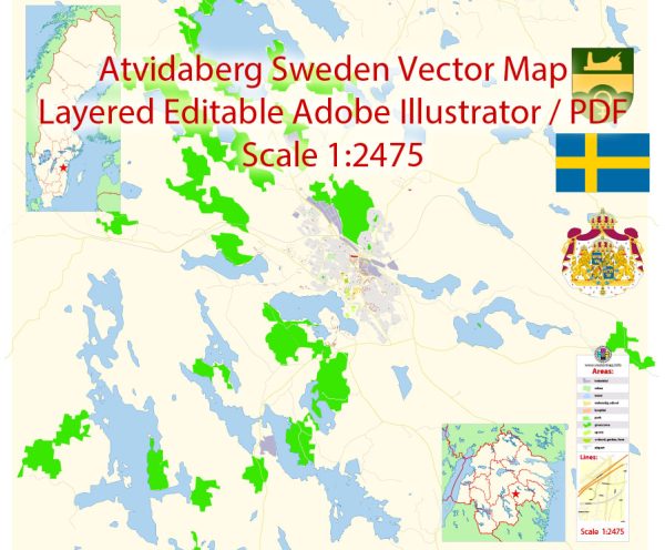
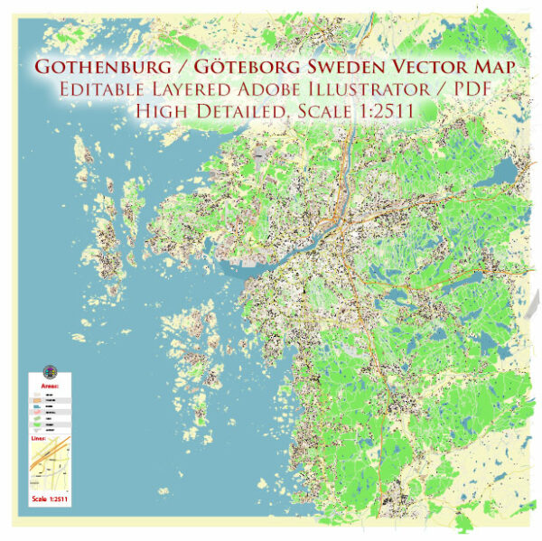
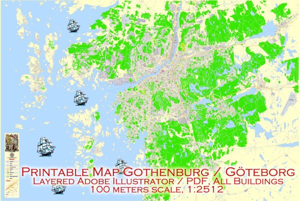
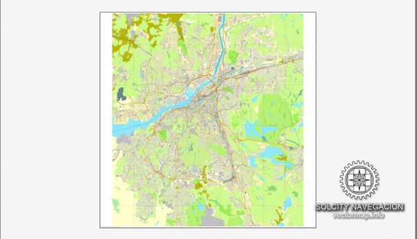
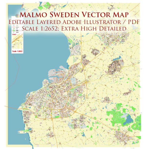
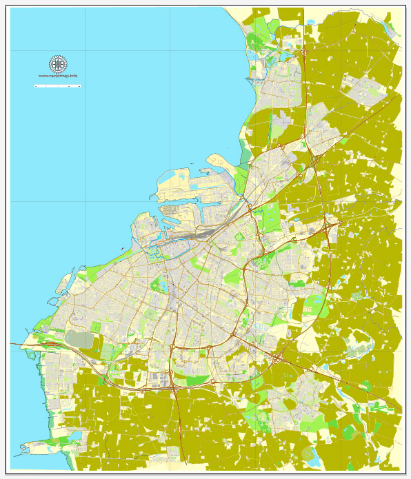
Sweden Vector Maps : country located on the Scandinavian Peninsula in northern Europe. The name Sweden was derived from the Svear, or Suiones, a people mentioned as early as 98 CE by the Roman author Tacitus. The country’s ancient name was Svithiod.
Stockholm has been the permanent capital since 1523.
The most exact and detailed maps.
For printing LARGE (WALL) or SMALL (A4) format (please, see the preview and descriptions). DWG, DXF, CDR, ESRI Shapes and other formats, or you can’t find a map that you need – please contact us
 Author: Kirill Shrayber, Ph.D.
I have been working with vector cartography for over 25 years, including GPS, GIS, Adobe Illustrator and other professional cartographic software.
Linkedin: https://www.linkedin.com/in/kirill-shrayber-0b839325/
Twitter: https://twitter.com/vectormapper

