France cities vector maps: PDF and Adobe Illustrator

France Cities and Country Vector Maps in Adobe Illustrator, PDF and other vector formats

For publishing, design, printing, media, publications, arts, projects, presentations, for architects, designers and builders, business, logistics

France full country maps – admin, roads, terrain =  11 maps >>>>>

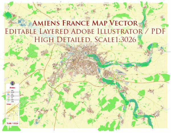
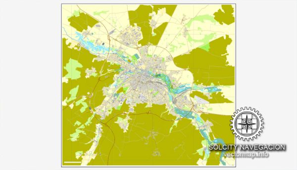
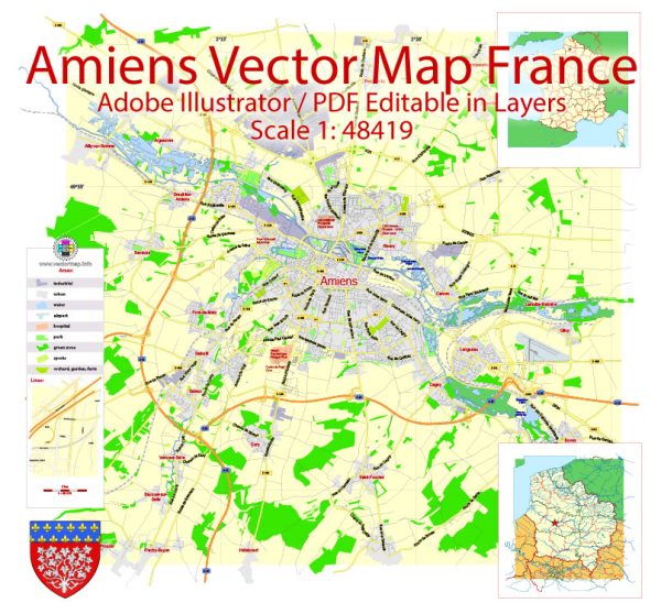
  1. Amiens = 6 maps
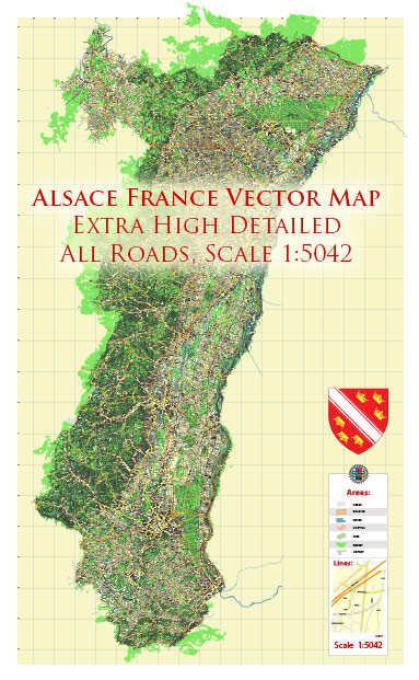
  2. Alsace Province = 2 maps
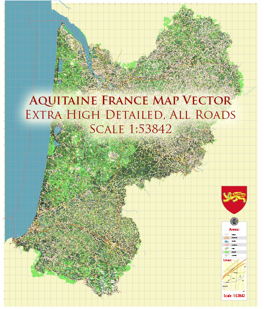
  3. Aquitaine Province = 2 maps
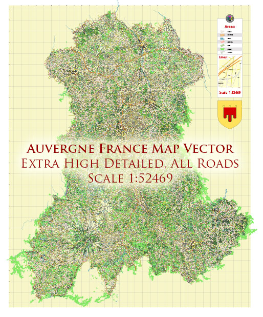
  4. Auvergne Province = 2 maps
  5. Ballargues =  2 maps
  6. Basse-Normandie = 2 maps
  7. Bretagne Province = 2 maps
  8. Bourgogne Province = 2 maps
  9. Bordeaux = 7 maps
  10. Brest = 2 maps
  11. Calais = 2 maps
  12. Cannes = 4 maps
  13. Centre Val de Loire Province = 2 maps
  14. Champagne Ardenne Province = 2 maps
  15. Cherbourg = 2 maps
  16. Corse Province = 2 maps
  17. Dinan = 2 maps
  18. Dunkerque = 2 maps
  19. Franche Comte Province = 2 maps
  20. Guadeloupe (FR) = 2 maps
  21. Haute Normandie Province = 2 maps
  22. Ile de France Province = 2 maps
  23. Laval, Mayenne = 2 maps
  24. Languedoc Roussillon Province = 2 maps
  25. Lannion = 2 maps
  26. Le Havre = 2 maps
  27. Lille = 11 maps
  28. Limousin Province = 2 maps
  29. Loraine Province = 2 maps
  30. Lyon = 7 maps
  31. Marseille = 7 maps
  32. Midi Pyrenees Province = 2 maps
  33. Monaco = 5 maps
  1. Montpellier = 4 maps
  2. Morlaix = 2 maps
  3. Nantes = 4 maps
  4. Nice = 4 maps
  5. Nord Pas de Calais Province = 2 maps
  6. Pays de la Loire Province = 2 maps
  7. Paris = 22 maps
  8. Picardie Province = 2 maps
  9. Poitou Charentes Province = 2 maps
  10. Provence Alpes Cote-d-Azur Province = 2 maps
  11. Pyrenees Area FR – ES = 2 maps
  12. Rhone-Alpes = 2 maps
  13. Rouen = 4 maps
  14. Saint-Brieus = 2 maps
  15. Saint-Malo = 2 maps
  16. Toulon = 4 maps
  17. Toulouse = 7 maps

Map Data Specification

  • Data type: Vector cartographic dataset

  • Geometry: Polylines and polygons

  • Coordinate system: WGS84 geographic coordinate system

  • Editing compatibility: Adobe Illustrator and vector graphic editors

  • Data structure: Layered map file suitable for design and print workflows

Author: Kirill Shrayber, Ph.D. FRGS

I have been working with vector cartography for over 25 years, including GPS, GIS, Adobe Illustrator and other professional cartographic software.
Linkedin: https://www.linkedin.com/in/kirill-shrayber-0b839325/
Twitter: https://twitter.com/vectormapper
Wikipedia: https://meta.wikimedia.org/wiki/User:Vectormapper
Are we missing some maps? Let us know!
What map do you need?

    We will upload it within the next 24 hours and notify you by Email.

    Menu
    NEED HELP? WE ARE ONLINE