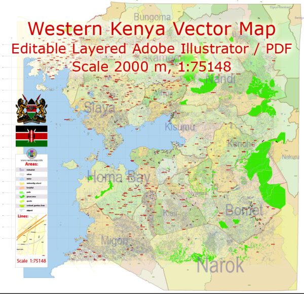
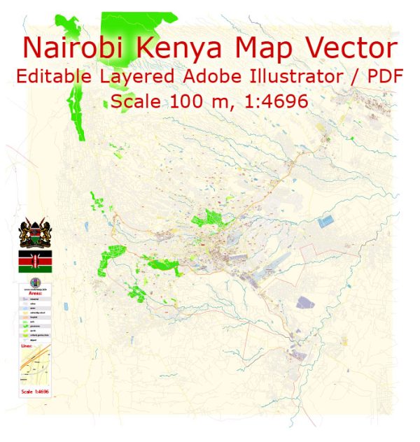
Vector Maps of the Kenya : country in East Africa with coastline on the Indian Ocean. It encompasses savannah, lakelands, the dramatic Great Rift Valley and mountain highlands. It’s also home to wildlife like lions, elephants and rhinos. From Nairobi, the capital, safaris visit the Maasai Mara Reserve, known for its annual wildebeest migrations, and Amboseli National Park, offering views of Tanzania’s 5,895m Mount Kilimanjaro.
Capital: Nairobi
Area:
• Total: 580,367 km2 (224,081 sq mi)
• Water: (%) 2.3
Download royalty free, editable vector maps of Kenya in high resolution digital PDF and Adobe Illustrator format.
 Author: Kirill Shrayber, Ph.D.
I have been working with vector cartography for over 25 years, including GPS, GIS, Adobe Illustrator and other professional cartographic software.
Linkedin: https://www.linkedin.com/in/kirill-shrayber-0b839325/
Twitter: https://twitter.com/vectormapper


