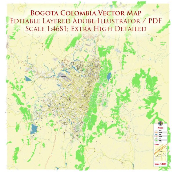
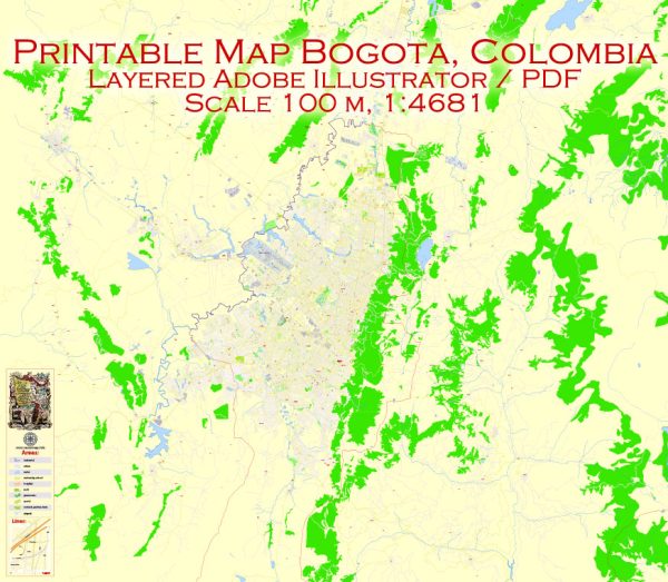
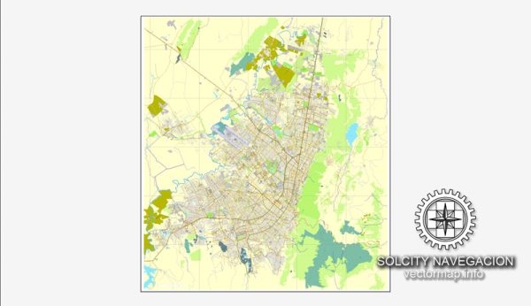
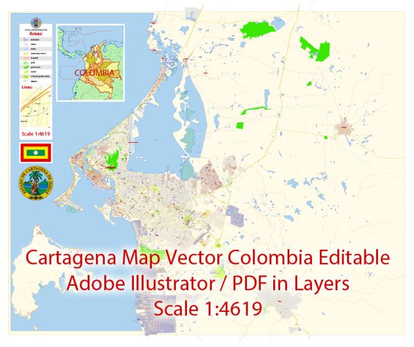
Vector Maps of the Colombia : officially the Republic of Colombia, is a transcontinental country spanning South America and an insular region in North America. It is bordered by the Caribbean Sea to the north, Venezuela to the east, Brazil to the southeast, Ecuador and Peru to the south, the Pacific Ocean to the west, and Panama to the northwest. Colombia comprises 32 departments and the Capital District of Bogotá, the country’s largest city. It covers an area of 1,141,748 square kilometers (440,831 sq mi), with a population of 50 million. Colombia’s rich cultural heritage reflects influences by various Amerindian civilizations, European settlement, African slaves, and immigration from Europe and the Middle East. Spanish is the nation’s official language, besides which over 70 languages are spoken.
Capital: Bogotá
Area:
• Total: 1,141,748 km2 (440,831 sq mi)
• Water: (%) 2.1
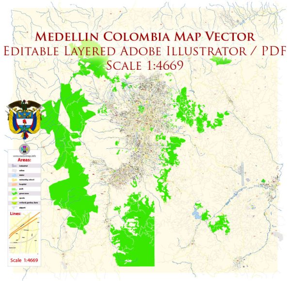
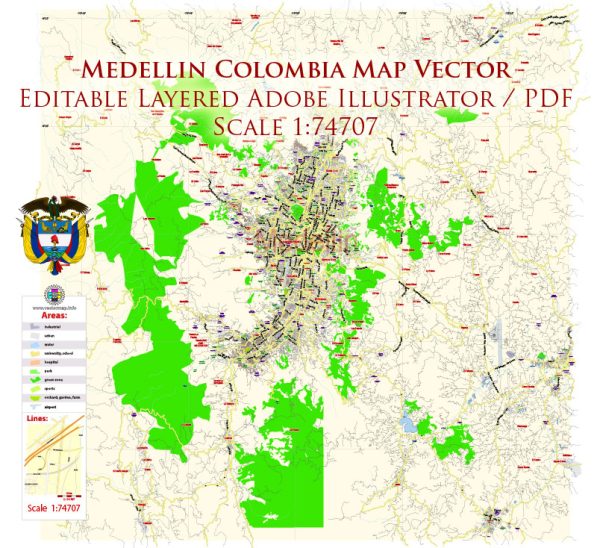
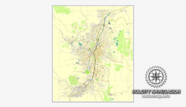
Download royalty free, editable vector maps of Colombia in high resolution digital PDF and Adobe Illustrator format.
 Author: Kirill Shrayber, Ph.D.
I have been working with vector cartography for over 25 years, including GPS, GIS, Adobe Illustrator and other professional cartographic software.
Linkedin: https://www.linkedin.com/in/kirill-shrayber-0b839325/
Twitter: https://twitter.com/vectormapper

