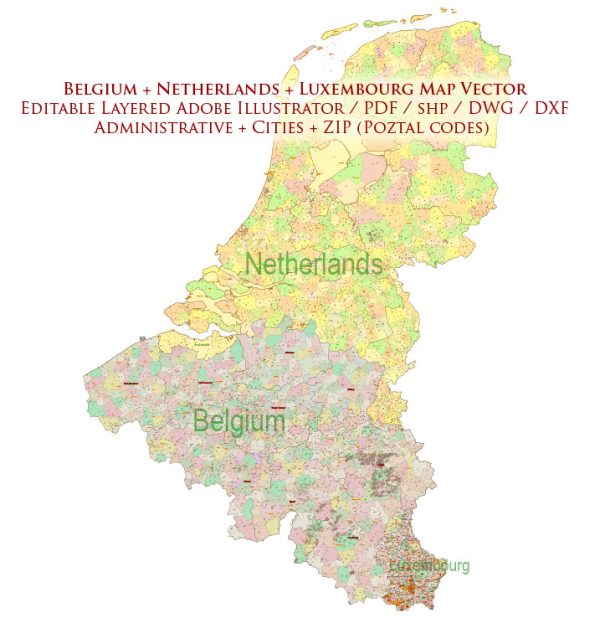
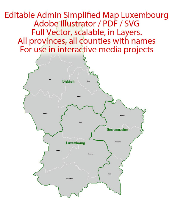
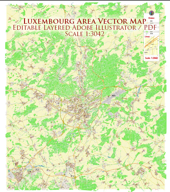
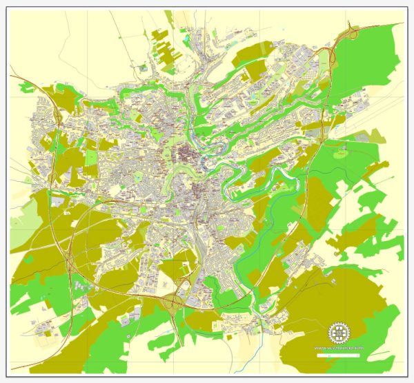
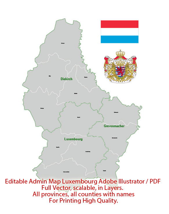
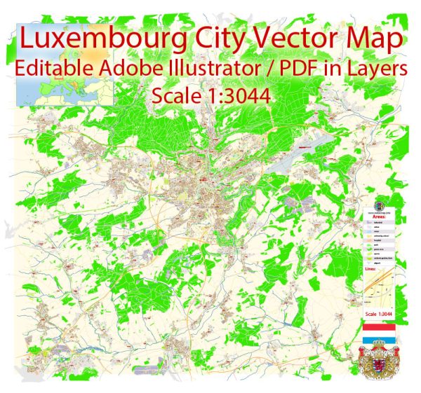
Vector Maps of the Luxembourg : small European country, surrounded by Belgium, France and Germany. It’s mostly rural, with dense Ardennes forest and nature parks in the north, rocky gorges of the Mullerthal region in the east and the Moselle river valley in the southeast. Its capital, Luxembourg City, is famed for its fortified medieval old town perched on sheer cliffs.
Capital: Luxembourg
Area:
• Total: 2,586.4 km2 (998.6 sq mi)
• Water: (%) 0.23
Download royalty free, editable vector maps of Luxembourg in high resolution digital PDF and Adobe Illustrator format.
Luxembourg City Vector Maps in the Adobe Illustrator, PDF and other vector formats for publishing, design, printing, media, publications, arts, projects, presentations, for architects, designers and builders, business, logistics. The most exact and detailed maps.
For printing LARGE (WALL) or SMALL (A4) format (please, see the preview and descriptions). DWG, DXF, CDR, ESRI Shapes and other formats.
 Author: Kirill Shrayber, Ph.D.
I have been working with vector cartography for over 25 years, including GPS, GIS, Adobe Illustrator and other professional cartographic software.
Linkedin: https://www.linkedin.com/in/kirill-shrayber-0b839325/
Twitter: https://twitter.com/vectormapper

