Mexico cities vector maps: PDF and Adobe Illustrator

Mexico Cities and Country Vector Maps in Adobe Illustrator, PDF and other vector formats
Mapas de vectores de ciudades y países de México en Adobe Illustrator, PDF y otros formatos de vectores
For publishing, design, printing, media, publications, arts, projects, presentations, for architects, designers and builders, business, logistics.

Mexico full country maps = 5 maps  >>>>>

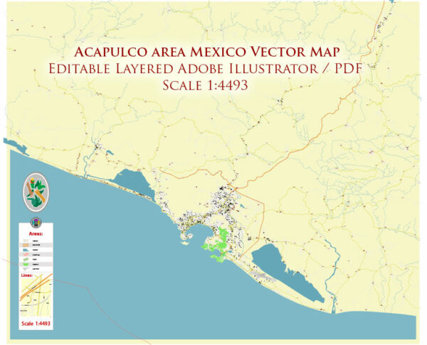
  1. Acapulco area = 2 maps
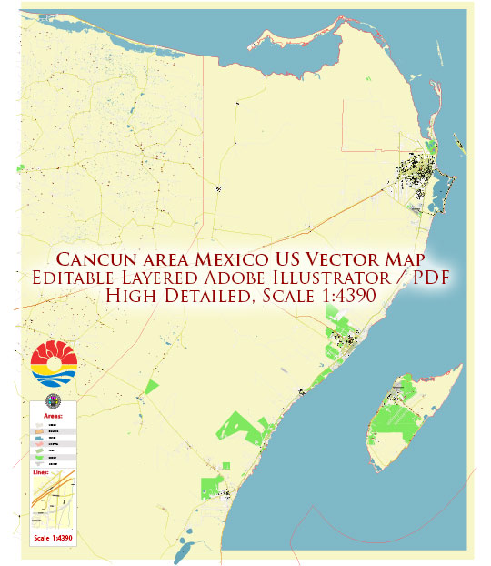
  2. Cancun area = 2 maps
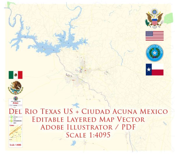
  3. Ciudad Acuña = 2 maps
  4. Leon = 2 maps
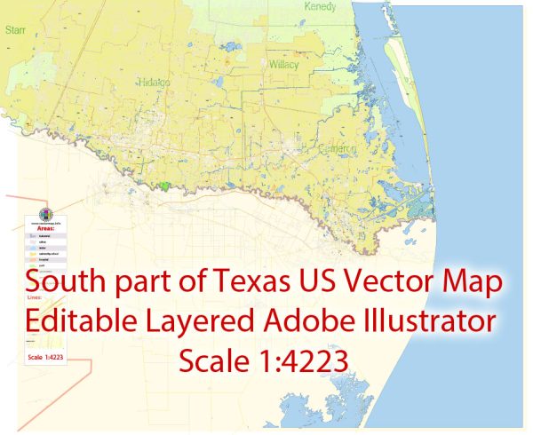
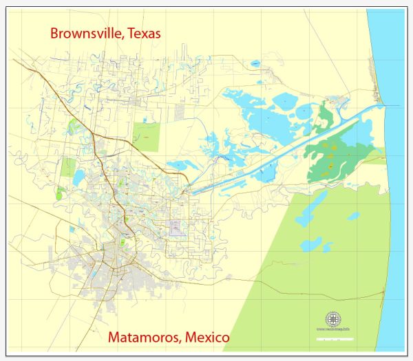
  5. Matamoros MX Brownsville TX US = 4 maps
  6. Mexico City = 9 maps
  7. Monterrey = 2 maps
  1. San Luis Potosi = 2 maps
  2. Tijuana MX San Diego US = 3 maps
  3. Veracruz = 2 maps
  4. Zacatecas = 2 maps
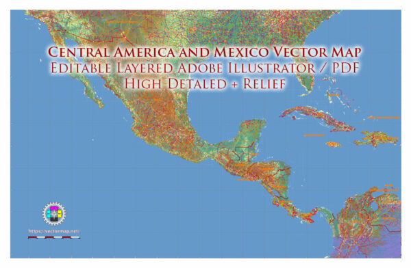
  5. Central America and Mexico and Caribes = 4 maps
Author: Kirill Shrayber, Ph.D.

I have been working with vector cartography for over 25 years, including GPS, GIS, Adobe Illustrator and other professional cartographic software.
Linkedin: https://www.linkedin.com/in/kirill-shrayber-0b839325/
Twitter: https://twitter.com/vectormapper

Are we missing some maps? Let us know!
What map do you need?

    We will upload it within the next 24 hours and notify you by Email.

    Menu