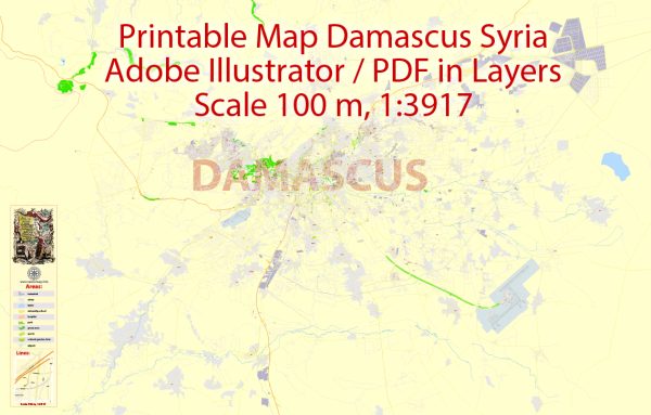
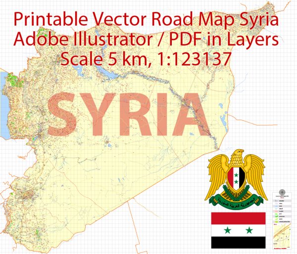
Vector Maps of the Syria : officially the Syrian Arab Republic, is a country in Western Asia. It borders the Mediterranean Sea to the west, Turkey to the north, Iraq to the east and southeast, Jordan to the south, and Israel and Lebanon to the southwest. Cyprus lies to the west across the Mediterranean Sea.
Capital: Damascus
Area:
• Total: 185,180[6] km2 (71,500 sq mi)
• Water: (%) 1.1
Download royalty free, editable vector maps of Syria in high resolution digital PDF and Adobe Illustrator format.
 Author: Kirill Shrayber, Ph.D.
I have been working with vector cartography for over 25 years, including GPS, GIS, Adobe Illustrator and other professional cartographic software.
Linkedin: https://www.linkedin.com/in/kirill-shrayber-0b839325/
Twitter: https://twitter.com/vectormapper


