Vector Maps of the Texas : state in the South Central region of the United States. At 268,596 square miles, and with more than 29.8 million residents in 2020, it is the second-largest U.S. state by both area and population.
Capital: Austin
Largest city: Houston
Largest metro and urban areas: Dallas – Fort Worth
Area
• Total 268,596 sq mi (695,662 km2)
• Land 261,232 sq mi (676,587 km2)
• Water 7,365 sq mi (19,075 km2) 2.7%
Area rank 2nd
Dimensions
• Length 801 mi (1,289 km)
• Width 773 mi (1,244 km)
Elevation 1,700 ft (520 m)
Highest elevation Guadalupe Peak 8,751 ft (2,667.4 m)
Lowest elevation Gulf of Mexico 0 ft (0 m)
Population
• Total 29,853,130
• Rank 2nd
• Density 114/sq mi (42.9/km2)
Instant download archives: royalty free, editable vector maps of Texas US in high resolution digital PDF and Adobe Illustrator format.
All of our editable Texas US vector maps are digital files,
which can be instantly downloaded in editable PDF or Adobe Illustrator format.
Objects on maps are usually divided into layers according to their types – lines, polygons, street names, object names (see map description!!!!)
Each of our Texas US digital maps is available in Adobe Illustrator or editable PDF format, (or on request in any other known format for the same price)
which use a vector approach to display images,
you can easily enlarge any part of our maps without compromising text, line or graphic quality,
with any increase or decrease ratio.
Using a vector graphics editor such as Adobe Illustrator, CorelDraw, Inkscape, or Freehand
you can easily crop parts of the map, add custom characters, and change colors and font attributes as needed.
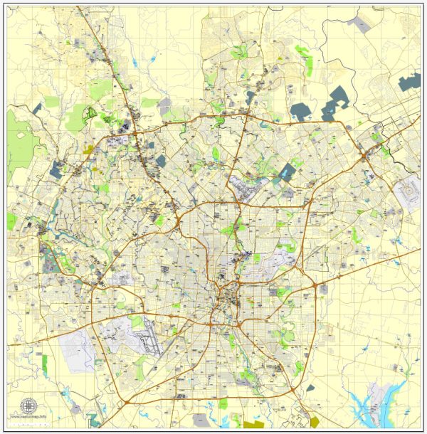
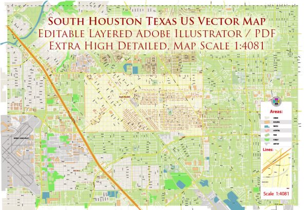
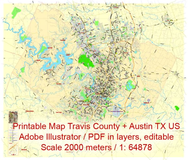
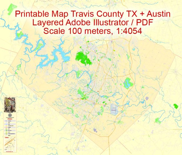
We have a variety of Texas US vector maps with different levels of detail, from simple empty paths to highly detailed maps with roads and terrain layers.
| Free Vector Map Texas State US Ai + PDF | |
|---|---|
List of TEXAS counties |
List of Cities and towns by counties |
Don’t see exactly what you’re looking for? Contact us to receive a special offer for an individual Texas US map for your project.

 Author: Kirill Shrayber, Ph.D.