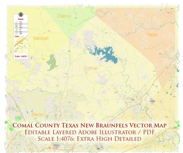
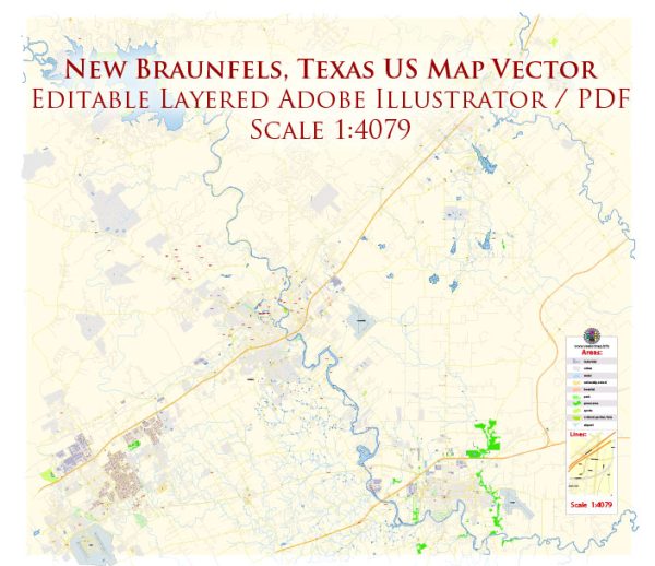
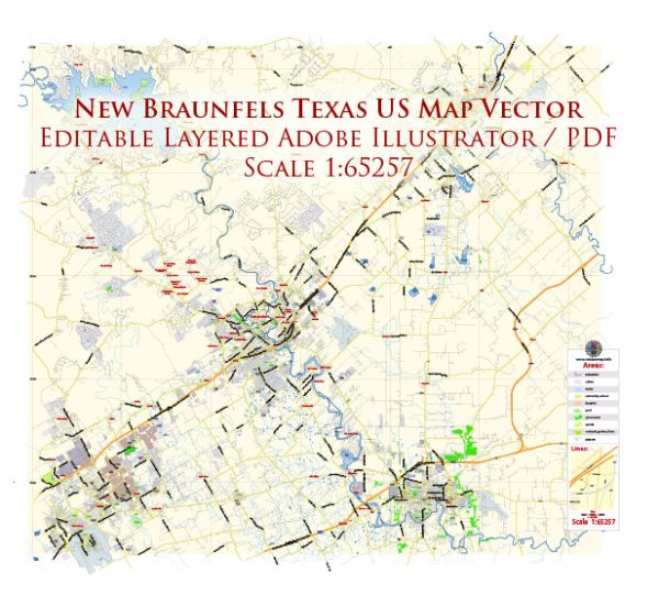
Vector Maps of the New Braunfels : city, seat (1846) of Comal county and also partly in Guadalupe county, south-central Texas, U.S. It lies on the Balcones Escarpment at a point where the Comal River (3 miles [5 km] long and within city limits) flows into the Guadalupe River, 30 miles (50 km) northeast of San Antonio. The community was established in 1845 by a group of German immigrants led by Prince Carl of Solms-Braunfels and sponsored by the Society for the Protection of German Immigrants in Texas (properly Mainzer Adelsverein, a group of German noblemen). Named for Braunfels, Prussia (now in Germany), it was incorporated in 1846. Although after the 1940s the German influence lessened, the community has retained much of its old culture. Sophienburg, former home of the prince, is a museum, and there is a monument to the German pioneers; several other German-style homes are also preserved as museums, and the city’s Wurstfest is a popular German festival. Tourism based on nearby Landa Park, Natural Bridge Caverns, and Canyon Lake augments the city’s economy. The city is also home to the Museum of Texas Handmade Furniture. Industrial activities include textile and hosiery mills, flour and seed mills, and a limestone plant. There are also ranching, agriculture, and dairying interests.
Area:
• Total: 45.57 sq mi (118.02 km2)
• Land: 45.18 sq mi (117.01 km2)
• Water: 0.39 sq mi (1.00 km2)
Instant download archives: royalty free, editable vector maps of New Braunfels Texas in high resolution digital PDF and Adobe Illustrator format.
All of our editable New Braunfels Texas vector maps are digital files,
which can be instantly downloaded in editable PDF or Adobe Illustrator format.
Objects on maps are usually divided into layers according to their types – lines, polygons, street names, object names (see map description!!!!)
Each of our New Braunfels Texas digital maps is available in Adobe Illustrator or editable PDF format, (or on request in any other known format for the same price)
which use a vector approach to display images,
you can easily enlarge any part of our maps without compromising text, line or graphic quality,
with any increase or decrease ratio.
Using a vector graphics editor such as Adobe Illustrator, CorelDraw, Inkscape, or Freehand
you can easily crop parts of the map, add custom characters, and change colors and font attributes as needed.
We have a variety of New Braunfels Texas vector maps with different levels of detail, from simple empty paths to highly detailed maps with roads and terrain layers.
Don’t see exactly what you’re looking for? Contact us to receive a special offer for an individual New Braunfels Texas map for your project.


 Author: Kirill Shrayber, Ph.D.