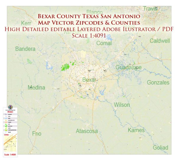
Vector Maps of the San Antonio : city, seat (1837) of Bexar county, south-central Texas, U.S. It is situated at the headwaters of the San Antonio River on the Balcones Escarpment, about 80 miles (130 km) southwest of Austin. The second most-populous city in Texas, it is the focus of a metropolitan area that includes Alamo Heights, Castle Hills, Converse, Kirby, Leon Valley, Live Oak, Schertz, Terrell Hills, Universal City, and Windcrest. Inc. 1809. Area city, 412 square miles (1,067 square km).
Instant download archives: royalty free, editable vector maps of Bexar County San Antonio Texas in high resolution digital PDF and Adobe Illustrator format.
San Antonio TX geographical dataCity Name: San Antonio |
Small towns nearby:Alamo Heights TX |
Large cities nearby:Austin TX road map |
All of our editable Bexar County San Antonio Texas vector maps are digital files,
which can be instantly downloaded in editable PDF or Adobe Illustrator format.
Objects on maps are usually divided into layers according to their types – lines, polygons, street names, object names (see map description!!!!)
Each of our Bexar County San Antonio Texas digital maps is available in Adobe Illustrator or editable PDF format, (or on request in any other known format for the same price)
which use a vector approach to display images,
you can easily enlarge any part of our maps without compromising text, line or graphic quality,
with any increase or decrease ratio.
Using a vector graphics editor such as Adobe Illustrator, CorelDraw, Inkscape, or Freehand
you can easily crop parts of the map, add custom characters, and change colors and font attributes as needed.
We have a variety of Bexar County San Antonio Texas vector maps with different levels of detail, from simple empty paths to highly detailed maps with roads and terrain layers.
Don’t see exactly what you’re looking for? Contact us to receive a special offer for an individual Bexar County San Antonio Texas map for your project.


 Author: Kirill Shrayber, Ph.D.