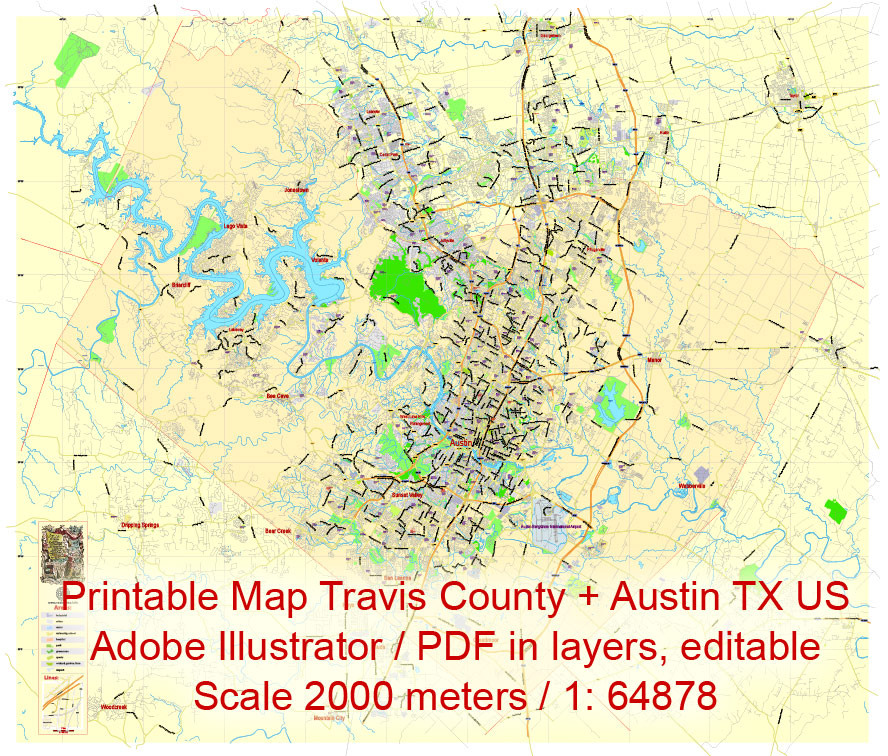
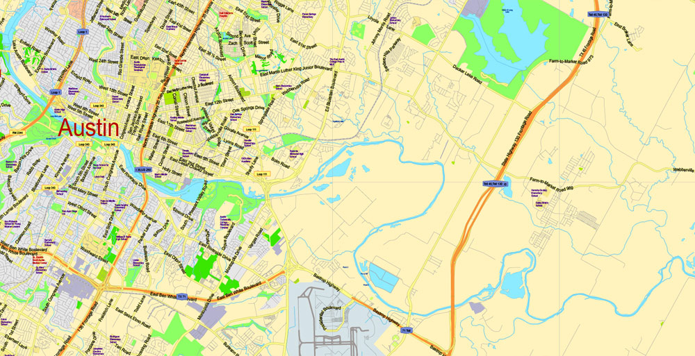
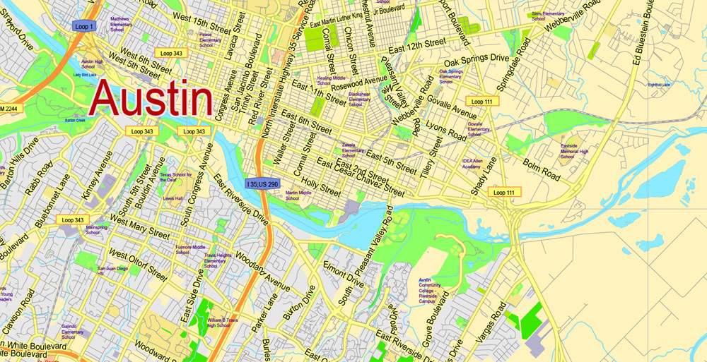
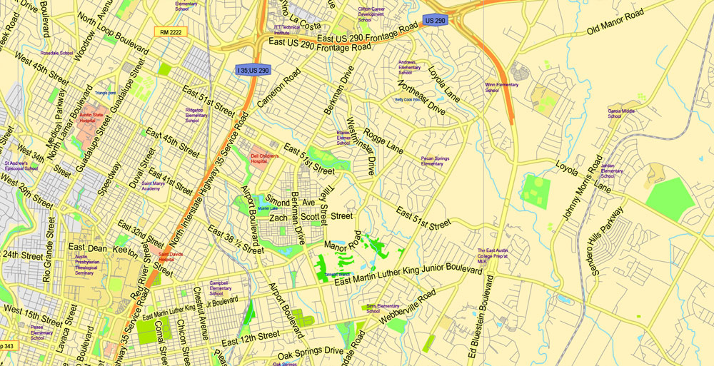
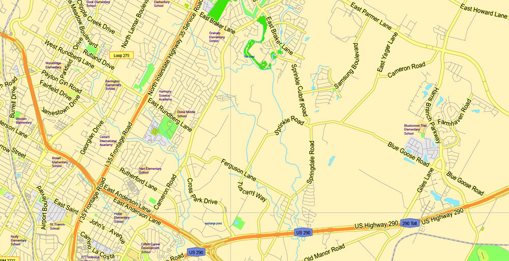
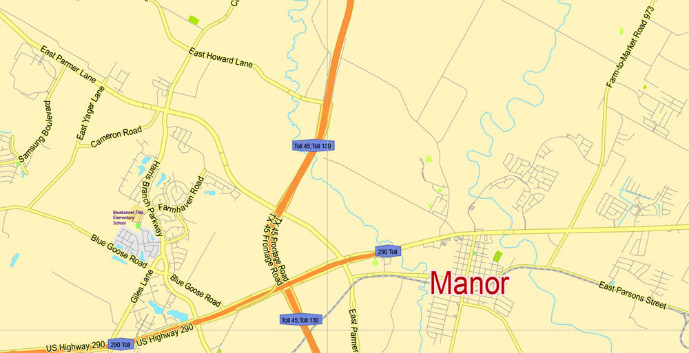
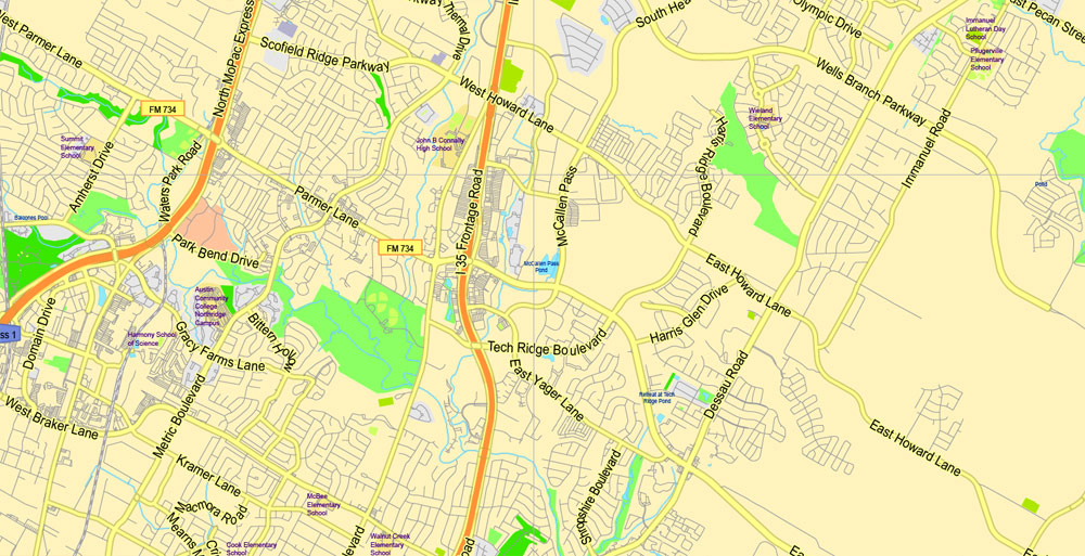
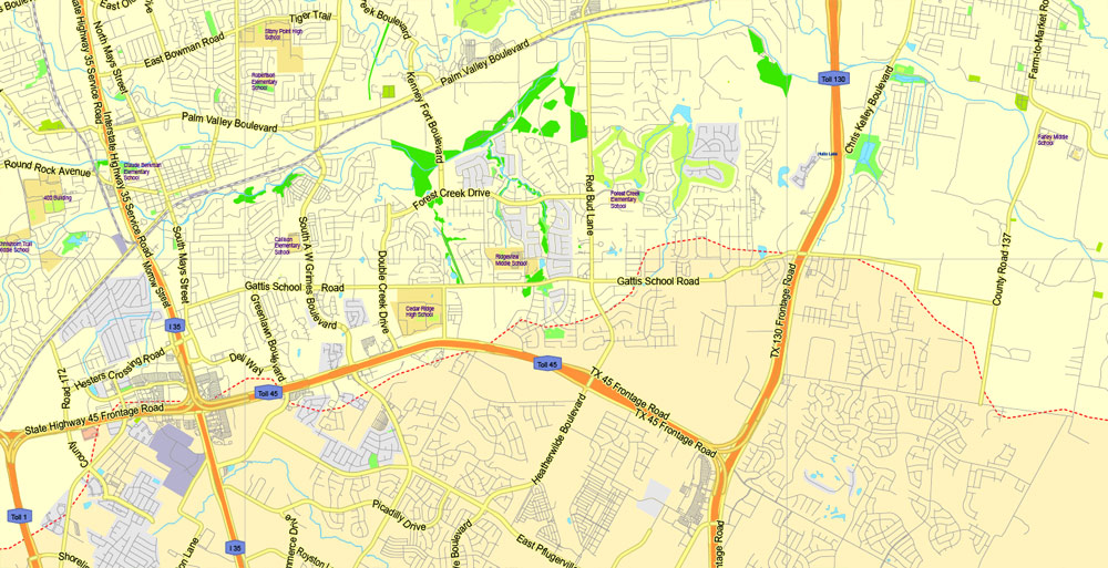
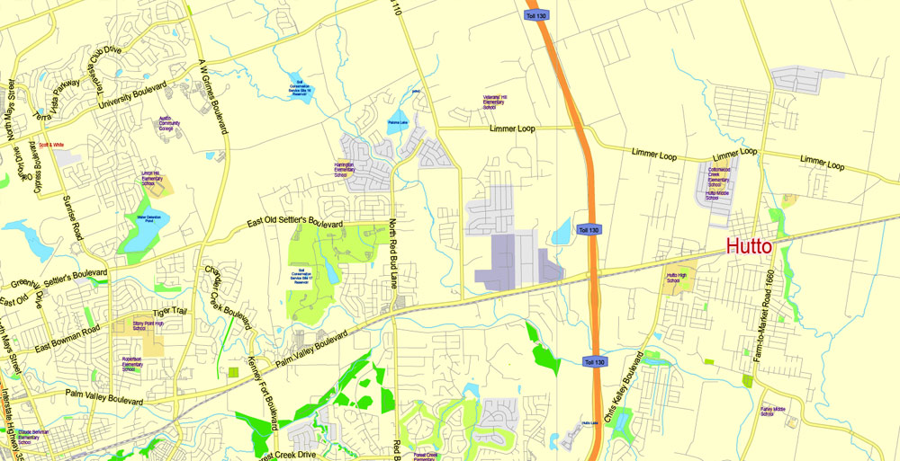
Editable Printable Map Travis County + Austin, Texas US, exact detailed vector Map Scale 100 meters, 1:64878, Adobe Illustrator, scalable, editable text format street names, 15 mb ZIP
Main streets named, Main Objects Map for design, printing, arts, projects, presentations, for architects, designers and builders, business, logistics.
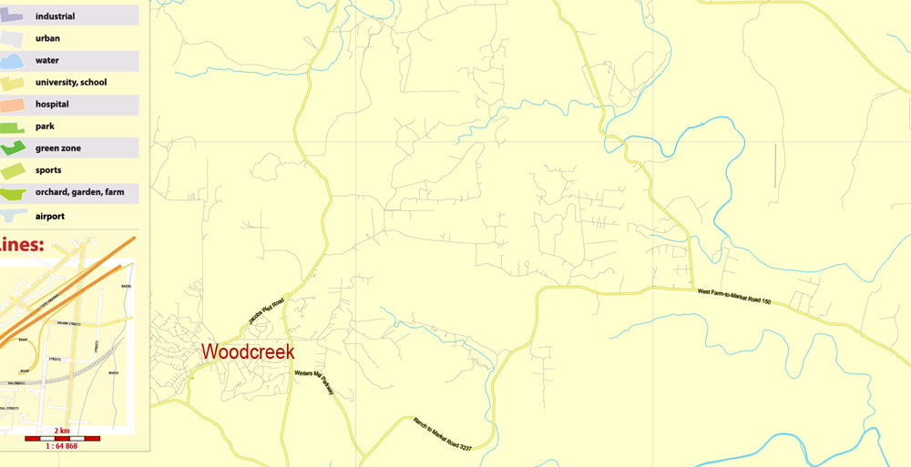
Layers: back, color_fills, water_objects, streets_roads, labels_roads, names_objects, names_streets, names_places, grids, legend.
The most exact and detailed map of the county.
DWG, DXF, CDR and other formats – on request, same price, please, contact
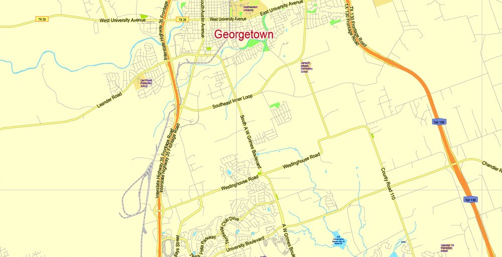
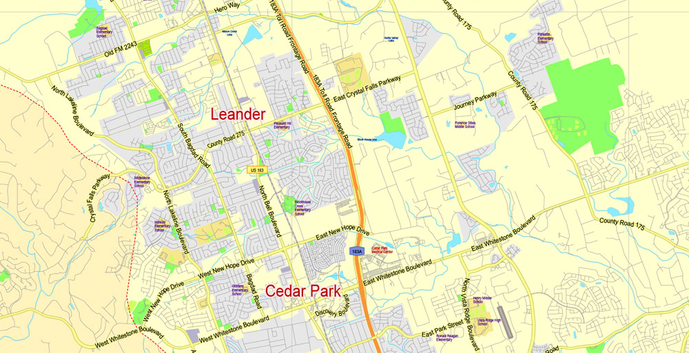
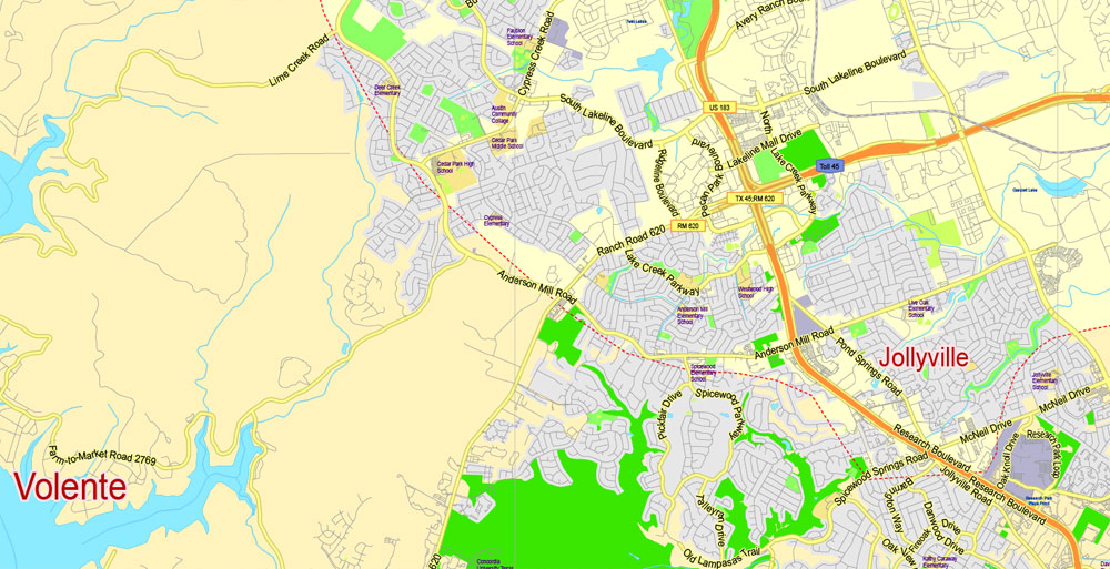
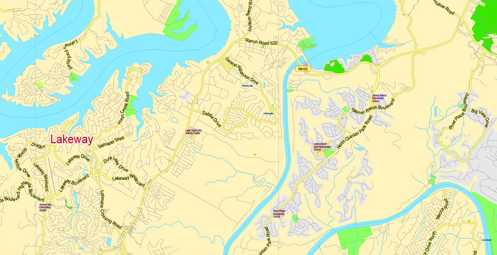
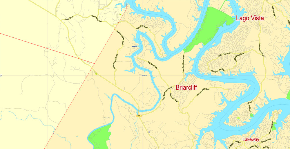
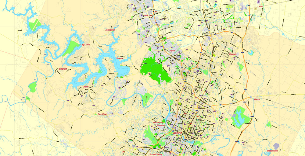
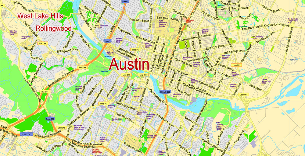
Travis County + Austin, Texas, USA.
This vector map of Travis city is used as a basis for design, editing, and further printing.
This is the most detailed, exact map of Travis city for high-quality printing and polygraphy. You can always clarify the map development date by contacting us.
For your convenience, all objects on Travis vector city map are divided into layers. And the editing is very easy – colors, lines, etc.
You can easily add any objects needed (e.g. shops, salons, sale points, gas station or attraction) on any layer of Travis vector map.
Travis County is a county in south central Texas. As of the 2010 census, the population was 1,024,266; the estimated population in 2017 was 1,226,698. It is the fifth-most populous county in Texas. Its county seat is Austin, the capital of Texas. The county was established in 1840 and is named in honor of William Barret Travis, the commander of the Republic of Texas forces at the Battle of the Alamo.
One of the advantages of Travis city vector maps of our production is the relevance of cartographic data, we constantly update all our products.
This vector map of Travis city is used by:
designers, layout designers, printers, advertisers and architects. Our product – vector maps – is designed for further editing and printing in large formats – from @Wall format (a few meters) to A-0 and A-1, A-2, A-3.
The Travis city map in vector format is used for design, urban planning, presentations and media visualizations.
The advertising and presentation map of Travis city (usually the final designer marks the routes, and puts the client’s objects (shops, saloons, gas stations etc.)
The undoubted advantage is that people will NEVER throw out this advertising product – the map. In fact, as an advertising medium, a city map is the most “long-playing” of the well-known polygraphic advertising media, with the longest lifespan, and the maximum number of interactions with the customer.
For travelers, maps are sold at the airports and gas stations around the world. Often the source is our vector maps.
Take a look, who purchases our vector maps of Travis city in “Our Clients and Friends” page – these are large and small companies, from super-brands like Volvo and Starbucks, to small design studios and printing houses.
It’s very easy to work with vector maps of Travis city, even for a not very experienced designer who can turn on and off the map layers, add new objects, change the colors of fill and lines according to customer requirements.
The undoubted advantage of Travis city vector maps in printing is an excellent and detailed visualization, when customer can expand a large paper map and instantly define his location, find a landmark, an object or address on map, unlike using the popular electronic formats of Google and Yandex maps for example.
Printable vector maps of Travis city are much more convenient and efficient than any electronic maps on your smartphone, because ALL DETAILS are displayed in the entire space of Travis city map.
Useful tips on working with vector maps of cities and countries in Adobe Illustrator.
«V» – launches the Selection tool (cursor, black arrow), which makes active any vector line.
«А» – launches the Direct Selection tool (white cursor), allows you to select curve elements and drag them to the desired place.
«R» – activates the Rotate tool, which helps you rotating selected objects around the center point by 360 degrees.
«E» – gives you the opportunity to use the Eraser tool and erase unnecessary parts.
«X» – switches between Fill and Stroke in the Tools section. Try to get used to this hot key and
you will quickly understand that you can’t live and work without it.
Guides are not limited to vertical and horizontal in Adobe Illustrator. You can also create a diagonal guide for example. Moreover, you can turn any contours into guides. Select the outline and go to View > Guides > Make Guides (Create Guides), or simply press Cmd/Ctrl + 5. You can also turn the guides back into an editable object. Go to menu, View > Guides > Unlock Guides (Release Guides), select the guide you want to edit and select View > Guides > Release Guides (Reset Guides), or just press Cmd/Ctrl + Option / Alt + 5).
Travis County is part of the Austin-Round Rock Metropolitan Statistical Area. It is along the Balcones Fault, the boundary between the Edwards Plateau to the west and the Blackland Prairie to the east.
Geography
Travis County Justice Complex
According to the U.S. Census Bureau, the county has a total area of 1,023 square miles (2,650 km2), of which 990 square miles (2,600 km2) is land and 33 square miles (85 km2) (3.2%) is water. Travis County is located in the southern part of central Texas, between San Antonio and Dallas–Fort Worth. The county’s geographical center lies two miles northwest of downtown Austin at 30°18′ north latitude and 97°45′ west longitude.
You will probably want to change the color scheme used on our Travis vector city map.
To quickly and effectively play with colors.
Of course, you can do it manually, all objects in our Travis city vector map are divided according to types and layers, and you can easily change the color gamma of vector objects in groups and layers.
But there is more effective way of working with the whole VECTOR MAP of Travis city and all layers:
The overview dialog «Edit colors»/«Repaint Graphic Object» (this dialog box name can change depending on the context):
If you have selected a part or a layer of Travis city vector map and open the dialog box by clicking the icon in the Control panel, on the Samples palette or the Color Catalog, or if you choose Edit > Edit Colors> Repaint Graphic Object, then the «Repaint Graphic Object» dialog box appears, and you get access to «Assign» and «Edit» tabs.
If a picture or a map fragment is not selected, and you open the dialog box by clicking the icon in the Control panel, on the Samples palette or in the Color Catalog, the «Edit Colors» dialog box appears and you can only access the «Edit» tab.
Regardless of the name at the top of the dialog box, the right-hand side always displays the color group of the current document, as well as two default color groups: Print Color and Grayscale. These color groups can be selected and used any time.
Create and edit color groups of Travis city vector map, and also assign colors using the «Edit Colors»/ а «Repaint Graphic Object» dialog box.
A. Creating and editing of a color group on the «Edit» tab
B. Assigning colors on the «Assign» tab
C. Select a group of colors from the «Color groups» list
The option «Repaint a graphic object» in the lower part of the dialog box allows you to preview the colors on a selected layer of Vector map, or a group of elements, and specify whether its colors will be redefined when the dialog box is closed.
The main areas of the dialog box are:
«Edit»
The «Edit» tab is designed to create a new or edit the existing color groups.
The harmony rules Menu and the Color Wheel are used to conduct experiments with color harmonies. The color wheel shows how colors are related in color harmony, and the color bars allow you to view and manipulate an individual color values. In addition, you can adjust the brightness, add and remove colors, save color groups and view colors on the selected Vector Map of Travis city or a separated layers.
Travis County straddles the Balcones Fault, the boundary between the Edwards Plateau to the west and the Texas Coastal Plain to the east. The western part of the county is characterized by the karst topography of the Texas Hill Country, while the eastern part exhibits the fertile plains and farmlands of the Blackland Prairie. The Colorado River meanders through the county from west to east, forming a series of man-made lakes (Lake Travis, Lake Austin, and Lady Bird Lake).
«Assign»
The «Assign» tab is used to view and control on how the original colors are replaced with colors from the color group like your corporate colors in the Vector Map of Travis city.
The assign color ability is provided only if the entire map, layer or fragment is selected in the document. You can specify which of new colors replace the current colors, whether the spot colors should be preserved and how colors are replaced (for example, you can replace colors completely or changing the color tone while maintaining the brightness). The «Assign» tab allows you to redefine colors in the Vector Map of Travis city, or in separate layers and fragments using the current color group or reducing the number of colors in the current Vector Map.
Color groups
Is a list of all saved color groups for current document (the same groups appear in the «Samples» palette). You can edit and delete the existing color groups, as well as creating a new ones using the list of “Color Groups” in the dialog box. All changes appear in the «Samples» palette.
The highlighted color group shows, which color group is currently edited.
Any color group can be selected and edited, or used to redefine the colors in the selected vector map of Travis city, its fragments or elements.
Saving a color group adds this group to the specified list.
Opening the «Edit Colors»/«Repaint Graphic Object» dialog box.
Open the «Edit Colors»/«Repaint Graphic Object» dialog box using one of the following methods:
«Edit»> «Edit Colors»> «Repaint Graphic object» or «Repaint With Style».
Use these commands if you need to edit the colors in the selected vector map of Travis city.
«Repaint Graphic object» button on the «Control» panel.
Use this button if you need to adjust colors of Travis city vector map using the а «Repaint graphic object» dialog box.
The specified button is available if the selected vector map or its fragment contains two or more colors.
Note. This color editing method is convenient for global color adjustment in a vector map, if global colors were not used when creating a City Map of Travis.
The «Edit colors» button or «Edit or apply colors» on the «Color Catalog» palette
Click this button if you need to edit colors on the «Color Catalog» palette or edit and then apply them to the selected Vector Map of Travis city or its fragment.
The «Edit color group» button or «Edit or apply color group» on the «Samples» palette.
Click this button if you need to edit the colors in the specific color group or edit and apply them to the selected Vector Map of Travis city or a group of its elements, for example, the whole layer “Streets and lines”. You can also double-click the color group in the Samples panel to open the dialog box.
If the map file is too large and your computer freezes or even can’t open it quickly:
1. Try to reduce the color resolution of the video card (display) to 256 colors while working with a large map.
2. Using Windows Task Manager, select all the application you don’t need, while working with map, just turn them off.
3. Launch Adobe Illustrator. (DO NOT OPEN the vector map file)
4. Start the Windows Task Manager using administrator rights > Find the “Illustrator” process > set the «real time» priority,
5. Open the file. When you see the LEGACY FONT popup window – click “OK” (do not update). You can restore the TEXT later.
6. Can also be useful: When file is opened – Edit > Settings > Basic Settings > disable smoothing. /// It looks scary, but works quickly)))
We recommend saving the file in Adobe Illustrator 10 version. It’s much more stable when working with VERY BIG size files.
Springs
The limestone karst geology of the western and southwestern parts of Travis County gives rise to numerous caverns and springs, some of which have provided shelter and water for humans in the region for thousands of years. Notable springs in the county include Barton Springs, Deep Eddy and Hamilton Pool.
Major highways
Travis County is crossed by Interstate Highway 35, US Highways 183 and 290, and Texas Highway 71. IH-35 leads northward to Waco and Dallas–Fort Worth and southward to San Antonio. US-183 leads northward through Cedar Park to Lampasas and southward to Lockhart. US-290 leads westward to Fredericksburg and eastward to Houston. TX-71 leads westward to Marble Falls and eastward to Bastrop.
Other major highways within the county include Texas Highway Loop 1 (the “Mopac Expressway”), which runs from north to south through the center of the county, and Texas Highway 45, which forms parts of an incomplete highway loop around Austin. Texas Highway 130 (constructed as an alternative to IH-35 for long-distance traffic wishing to avoid Austin and San Antonio) also runs from north to south through the sparsely populated eastern part of the county.
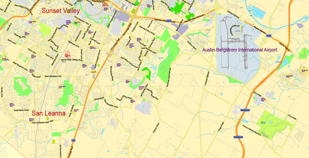
Austin is the capital of the U.S. state of Texas and the seat of Travis County, with portions extending into Hays and Williamson counties. It is the 11th-most populous city in the United States and the 4th-most populous city in Texas. It is also the fastest growing large city in the United States, the second most populous state capital after Phoenix, Arizona, and the southernmost state capital in the contiguous United States. As of the U.S. Census Bureau’s July 1, 2017 estimate, Austin had a population of 950,715 up from 790,491 at the 2010 census. The city is the cultural and economic center of the Austin–Round Rock metropolitan statistical area, which had an estimated population of 2,056,405 as of July 1, 2016. Located in Central Texas within the greater Texas Hill Country, it is home to numerous lakes, rivers, and waterways, including Lady Bird Lake and Lake Travis on the Colorado River, Barton Springs, McKinney Falls, and Lake Walter E. Long.

In the 1830s, pioneers began to settle the area in central Austin along the Colorado River. In 1839, the site was chosen to replace Houston as the capital of the Republic of Texas and was incorporated under the name “Waterloo”. Shortly afterward, the name was changed to Austin in honor of Stephen F. Austin, the “Father of Texas” and the republic’s first secretary of state. The city grew throughout the 19th century and became a center for government and education with the construction of the Texas State Capitol and the University of Texas at Austin. After a severe lull in economic growth from the Great Depression, Austin resumed its steady development, and by the 1990s it emerged as a center for technology and business. A number of Fortune 500 companies have headquarters or regional offices in Austin including, 3M, Amazon.com, Apple Inc., Cisco, eBay, General Motors, Google, IBM, Intel, Oracle Corporation, Paypal, Texas Instruments, and Whole Foods Market. Dell’s worldwide headquarters is located in nearby Round Rock, a suburb of Austin.
Residents of Austin are known as Austinites. They include a diverse mix of government employees, college students, musicians, high-tech workers, blue-collar workers, and a vibrant LGBT community. The city’s official slogan promotes Austin as “The Live Music Capital of the World”, a reference to the city’s many musicians and live music venues, as well as the long-running PBS TV concert series Austin City Limits. The city also adopted “Silicon Hills” as a nickname in the 1990s due to a rapid influx of technology and development companies. In recent years, some Austinites have adopted the unofficial slogan “Keep Austin Weird”, which refers to the desire to protect small, unique, and local businesses from being overrun by large corporations. In the late 19th century, Austin was known as the “City of the Violet Crown”, because of the colorful glow of light across the hills just after sunset. Even today, many Austin businesses use the term “Violet Crown” in their name. Austin is known as a “clean-air city” for its stringent no-smoking ordinances that apply to all public places and buildings, including restaurants and bars.
U.S. News & World Report named Austin the #1 place to live in the U.S. for 2017 and 2018. In 2016, Forbes ranked Austin #1 on its “Cities of the Future” list, then in 2017 placed the city at that same position on its list for the “Next Biggest Boom Town in the U.S.” Also in 2017, Forbes awarded the South River City neighborhood of Austin its #2 ranking for “Best Cities and Neighborhoods for Millennials”. WalletHub named Austin the #6 best placein the country to live for 2017. The FBI ranked Austin as the #2 safest major city in the U.S. for 2012.
Geography
Austin, the southernmost state capital of the contiguous 48 states, is located in Central Texas. Austin is 146 miles (230 km) northwest of Houston, 182 miles (290 km) south of Dallas and 74 miles (120 km) northeast of San Antonio.
In 2010, the city occupied a total area of 305.1 square miles (790.1 km2). Approximately 7.2 square miles (18.6 km2) of this area is water.
Austin is situated at the foot of the Balcones Escarpment, on the Colorado River, with three artificial lakes within the city limits: Lady Bird Lake (formerly known as Town Lake), Lake Austin (both created by dams along the Colorado River), and Lake Walter E. Long that is partly used for cooling water for the Decker Power Plant. Mansfield Dam and the foot of Lake Travis are located within the city’s limits. Lady Bird Lake, Lake Austin, and Lake Travis are each on the Colorado River.
The elevation of Austin varies from 425 feet (130 m) to approximately 1,000 feet (305 m) above sea level. As a result of its straddling the Balcones Fault, much of the eastern part of the city is flat, with heavy clay and loam soils, whereas the western part and western suburbs consist of rolling hills on the edge of the Texas Hill Country. Because the hills to the west are primarily limestone rock with a thin covering of topsoil, portions of the city are frequently subjected to flash floods from the runoff caused by thunderstorms. To help control this runoff and to generate hydroelectric power, the Lower Colorado River Authority operates a series of dams that form the Texas Highland Lakes. The lakes also provide venues for boating, swimming, and other forms of recreation within several parks on the lake shores.
Austin is located at the intersection of four major ecological regions, and is consequently a temperate-to-hot green oasis with a highly variable climate having some characteristics of the desert, the tropics, and a wetter climate. The area is very diverse ecologically and biologically, and is home to a variety of animals and plants. Notably, the area is home to many types of wildflowers that blossom throughout the year but especially in the spring, including the popular bluebonnets, some planted in an effort by “Lady Bird” Johnson, wife of former President Lyndon B. Johnson.
The soils of Austin range from shallow, gravelly clay loams over limestone in the western outskirts to deep, fine sandy loams, silty clay loams, silty clays or clays in the city’s eastern part. Some of the clays have pronounced shrink-swell properties and are difficult to work under most moisture conditions. Many of Austin’s soils, especially the clay-rich types, are slightly to moderately alkaline and have free calcium carbonate.
Travis County, Texas
Travis County is a county located in south central Texas.
Area: 2,650 km² = 1,023 sq mi
Land 990 sq mi (2,564 km2)
Water 33 sq mi (85 km2), 3.2%
Population: 1.177 million
County seat: Austin
Rivers: Colorado River, Pedernales River, Cow Creek,
Points of interest: Texas State Capitol, Zilker Park, Lady Bird Lake
Free download maps:

Free Download Vector Map US County and State Adobe Illustrator
Free_Vector_Map_US_States_County_Map.ai
Free Download Vector Map US County and State Adobe PDF
Free_Vector_Map_US_States_County_Map.pdf

Free Download Vector Map US With States Names, Adobe Illustrator
Free_Map_of_USA_with_state_names_en.ai
Free Download Vector Map US With States Names, Adobe PDF
Free_Map_of_USA_with_state_names_en.pdf
From WIKI
Free vector map World, Adobe Illustrator, download now maps vector clipart
Map for design, projects, presentation free to use as you like.
See also: TERMS & CONDITIONS: SOFTWARE LICENSE AGREEMENT FOR DIGITAL CARTOGRAPHIC DATA.
Need more USA Vector Maps, printable and editable?

 Author: Kirill Shrayber, Ph.D. FRGS

