Canada City Plans Vector Street Maps and Full Canada Maps in Adobe Illustrator, PDF, and other vector formats
For publishing, design, printing, media, publications, arts, projects, presentations, for architects, designers, and builders, business, logistics.
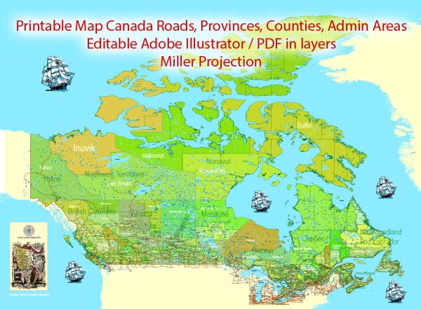
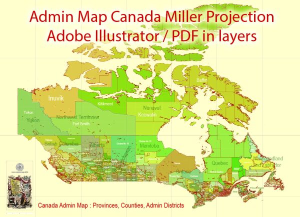
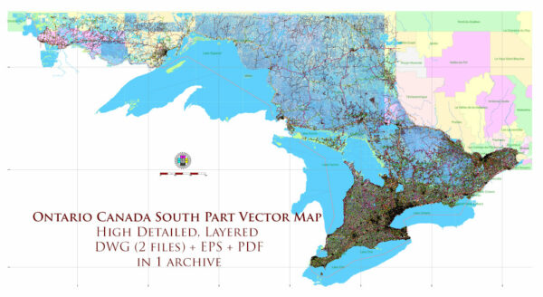
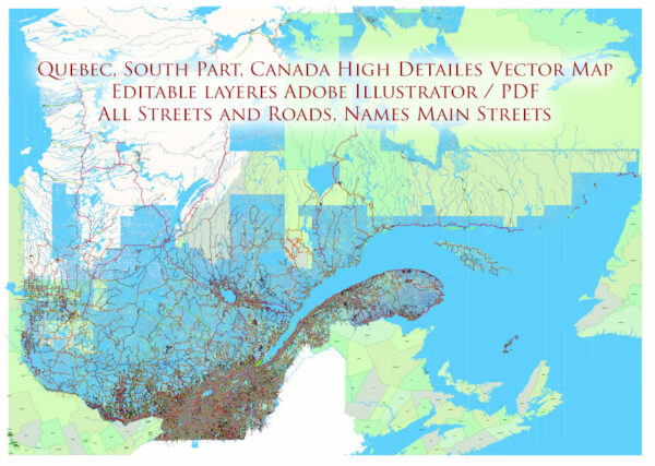
Editable Canada Vector Maps for Designers, Printers, and Cartographic Projects
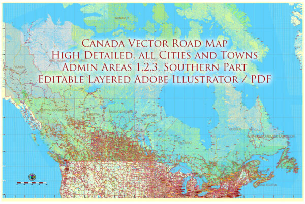
Explore a professional collection of Canada vector maps designed for graphic designers, printers, publishers, and creative professionals. Perfect for use in large-format printing, custom design projects, infographics, signage, publishing, and more — these editable vector maps of Canada offer unmatched detail, flexibility, and print-ready quality.
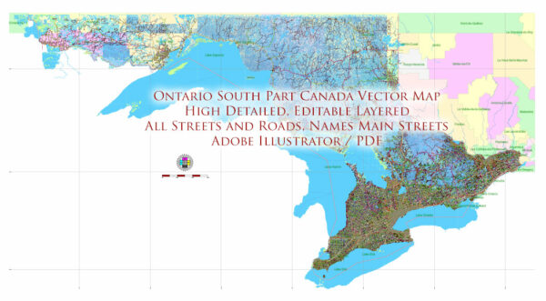
Each map is crafted with clean vector linework and organized layers, making it easy to customize for any project. Choose from country-wide maps of Canada, province-level maps, detailed city street maps, and road networks that are ideal for both digital and print applications.
Key Features:
- 🇨🇦 Coverage includes all Canadian provinces, major cities, highways, roads, rivers, and boundaries
- Formats: AI, EPS, PDF, SVG — compatible with all major design software
- Layered and scalable vector artwork — fully customizable and high-resolution
- Perfect for printing: maps are optimized for posters, brochures, books, and displays
- Designed for professionals: ideal for map-based design, tourism materials, or editorial use
Whether you’re creating themed maps of Canada, preparing educational content, or producing high-quality prints, these vector maps offer the accuracy and visual clarity required for premium design work.
Download fully editable vector maps of Canada — and elevate your print or design project with precision cartography.

 Author: Kirill Shrayber, Ph.D. FRGS