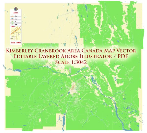
Vector Maps of the Kimberley : city in southeast British Columbia, Canada along Highway 95A between the Purcell and Rocky Mountains. Kimberley was named in 1896 after the Kimberley mine in South Africa. From 1917 to 2001, it was the home to the world’s largest lead-zinc mine, the Sullivan Mine.
Elevation: 1,120 m
Area: 60.62 km²
Vector Maps of the Cranbrook : city in southeast British Columbia, Canada, located on the west side of the Kootenay River at its confluence with the St. Mary’s River, It is the largest urban center in the region known as the East Kootenay.
Elevation: 921 m
Area: 31.95 km²
Instant download archives: royalty free, editable vector maps of Kimberley and Cranbrook British Columbia in high resolution digital PDF and Adobe Illustrator format.
All of our editable Kimberley and Cranbrook British Columbia vector maps are digital files,
which can be instantly downloaded in editable PDF or Adobe Illustrator format.
Objects on maps are usually divided into layers according to their types – lines, polygons, street names, object names (see map description!!!!)
Each of our Kimberley and Cranbrook British Columbia digital maps is available in Adobe Illustrator or editable PDF format, (or on request in any other known format for the same price)
which use a vector approach to display images,
you can easily enlarge any part of our maps without compromising text, line or graphic quality,
with any increase or decrease ratio.
Using a vector graphics editor such as Adobe Illustrator, CorelDraw, Inkscape, or Freehand
you can easily crop parts of the map, add custom characters, and change colors and font attributes as needed.
We have a variety of Kimberley and Cranbrook British Columbia vector maps with different levels of detail, from simple empty paths to highly detailed maps with roads and terrain layers.
Don’t see exactly what you’re looking for? Contact us to receive a special offer for an individual Kimberley and Cranbrook British Columbia map for your project.


 Author: Kirill Shrayber, Ph.D.