UK Great Britain City Plans Vector Street Maps and Full Detailed UK Country Maps in Adobe Illustrator, PDF and other vector formats
For publishing, design, printing, media, publications, arts, projects, presentations, for architects, designers and builders, business, logistics
UK Great Britain full detailed country maps = 6 maps >>>>>
- Arbroath = 2 maps
- Aston Ward Birmingham = 2 maps
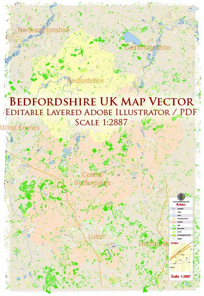
- Bedfordshire UK England = 2 maps
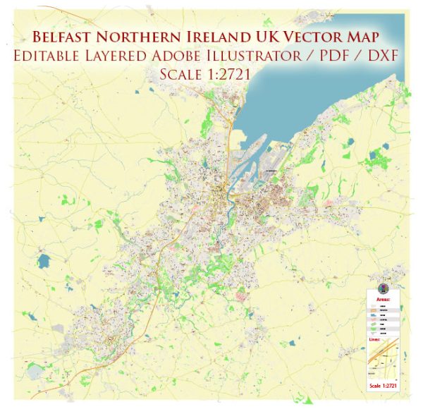
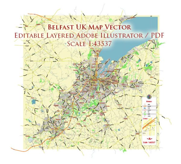
- Belfast Northern Ireland = 9 maps
- Berkshire = 2 maps
- Birkenhead + Liverpool = 7 maps
- Birmingham = 6 maps
- Bishop Auckland = 2 maps
- Brighton = 6 maps
- Bradford = 3 maps
- Bristol = 6 maps
- Buckinghamshire UK = 4 maps
- Cambridge = 11 maps
- Cardiff = 6 maps
- Colchester = 2 maps
- Derby = 2 maps
- Derry / Londonderry = 5 maps
- East Dunbartonshire Scotland = 2 maps
- Edinburgh Scotland UK = 7 maps
- Glasgow Scotland UK = 7 maps
- Heathrow, Feltham, Hounslow = 2 maps
- Hull UK England = 3 maps
- Leeds = 5 maps
- Leicester = 2 maps
- Liverpool + Birkenhead = 7 maps
- London = 23 maps
- Londonderry / Derry = 5 maps
- Manchester = 6 maps
- Newcastle = 3 maps
- Newport = 6 maps
- Oxford = 4 maps
- Portsmouth = 4 maps
- Salisbury = 2 maps
- Sheffield = 2 maps
- Southampton = 5 maps
- Thurrock Borough = 2 maps