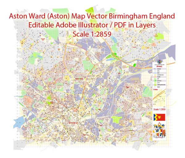
Vector Maps of the Aston : ward covering an area of north east Birmingham, including the district of Aston.
The ward was created in 1911, when Birmingham gained the Aston Manor Urban District. As a typical inner city ward, which tends to lose population the boundaries have been altered on a number of occasions.
Download royalty free, editable vector maps of Aston Ward, Birmingham, United Kingdom in high resolution digital PDF and Adobe Illustrator format.
Instant download archives: royalty free, editable vector maps of Aston Ward UK in high resolution digital PDF and Adobe Illustrator format.
All of our editable Aston Ward UK vector maps are digital files,
which can be instantly downloaded in editable PDF or Adobe Illustrator format.
Objects on maps are usually divided into layers according to their types – lines, polygons, street names, object names (see map description!!!!)
Each of our Aston Ward UK digital maps is available in Adobe Illustrator or editable PDF format, (or on request in any other known format for the same price)
which use a vector approach to display images,
you can easily enlarge any part of our maps without compromising text, line or graphic quality,
with any increase or decrease ratio.
Using a vector graphics editor such as Adobe Illustrator, CorelDraw, Inkscape, or Freehand
you can easily crop parts of the map, add custom characters, and change colors and font attributes as needed.
We have a variety of Aston Ward UK vector maps with different levels of detail, from simple empty paths to highly detailed maps with roads and terrain layers.
Don’t see exactly what you’re looking for? Contact us to receive a special offer for an individual Aston Ward UK map for your project.


 Author: Kirill Shrayber, Ph.D.