Extended Description of the Vector Map
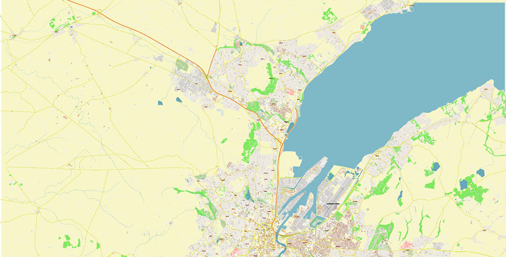
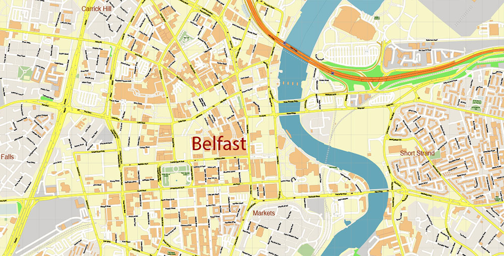
Belfast is a city in the United Kingdom, the capital of Northern Ireland. Located at the mouth of the Lagan, on the Irish Sea.
Belfast is the main city (seat of government) and port of Northern Ireland. The largest city in the historical province of Ulster. Population (including suburbs) – more than 500 thousand inhabitants (2016). The second most populous city on the island of Ireland after Dublin.
Mechanical engineering (large-scale shipbuilding), light industry. Known since the XII century. After the partition of Ireland (1921) and until the end of the 20th century, it was one of the centers of religious conflict in Northern Ireland. In 1911, the British shipyard “Harland and Wolf” in Belfast was launched the steamer “Titanic”.
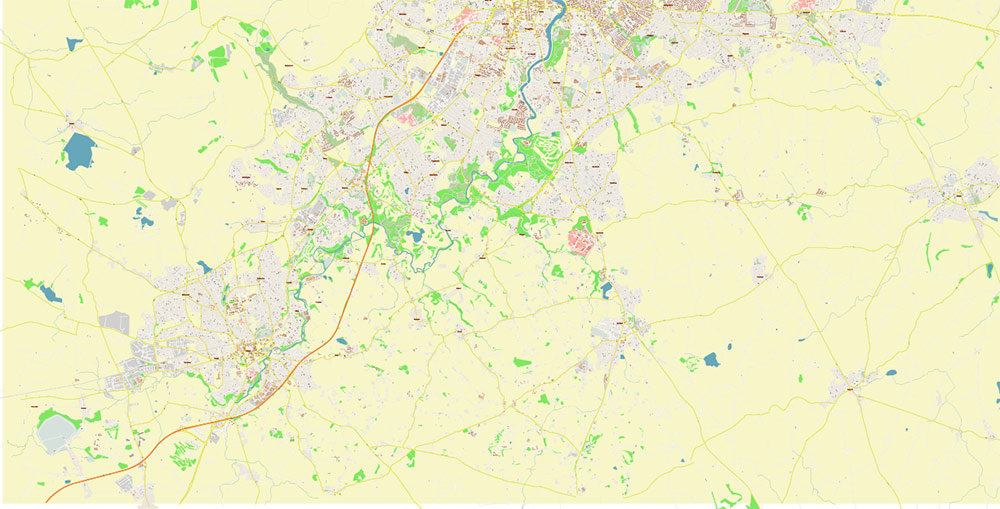
Belfast is located on the east coast of Ireland. Coordinates 54°35’49” : 05°55’45” It lies at the western end of Belfast Lough at the mouth of the River Lagan and is protected from the north-west by a chain of hills. In 1994, locks were built on the River Lagan, designed to raise the level of the river and flood its marshy banks, which gave Belfast its name. The name of the river Farset, a tributary of the Lagan, comes from the Irish first-sand spit, the name was given because of the silty sediments. In the old days, the river was larger, there was a pier on High Street, Bank Street, and Bridge Street was named, respectively, after its bank and the bridge over the river. Today, the Farset is buried underground and flows under the High Street. In addition, at least 11 small rivers flow through the city.
To the north and northwest, the city is surrounded by hills such as Divis, Black Mountain, and Cavehill. On Cave Hill is Fort MacArthur, probably named after Art O’Neill, who controlled the area in the 17th century. To the south-east of the town is the Castlereagh Hills.
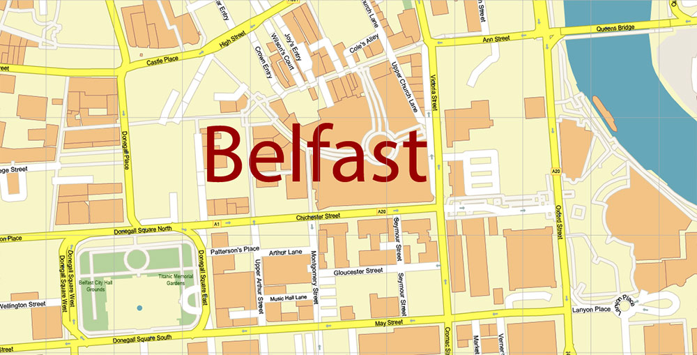
The main feature of the center is Donegall Square, surrounded by impressive monuments of the Victorian era. Donegall Square is home to the Town Hall, a true example of mixed architectural styles. It is also home to the Linen Hall Library, which houses the main treasures of Irish literature.
The area of High St in the north of Belfast, known as Antriz, is the oldest part of it. It was almost destroyed by bombing during the Second World War, and now only a handful of pubs remain, reflecting the spirit of the past. The Grand Opera House is also a landmark in Belfast. It was bombed several times but was restored and now shines with wealth. The city’s history and culture are displayed in the Ulster Museum next to Queens University. In the suburbs of Belfast, there is a zoo, Cave Hill Country Park, Titanic Belfast, Belfast Castle, which theoretically dates back to the XII century, but the current structure was built in 1870, and Stormont – the seat of the Northern Ireland Assembly.
One of the most popular attractions is the 10-meter figure of the “Big Fish“.
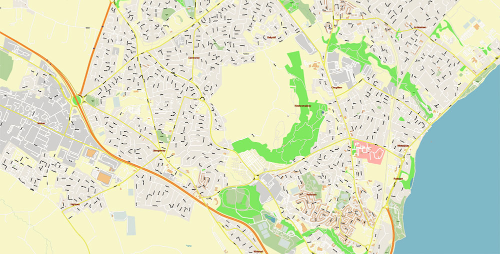
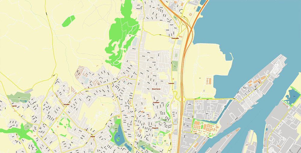
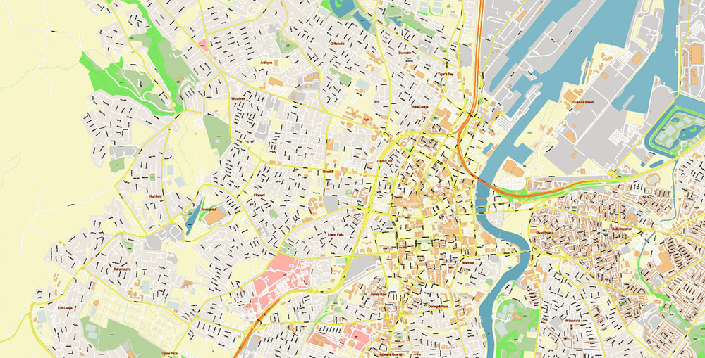
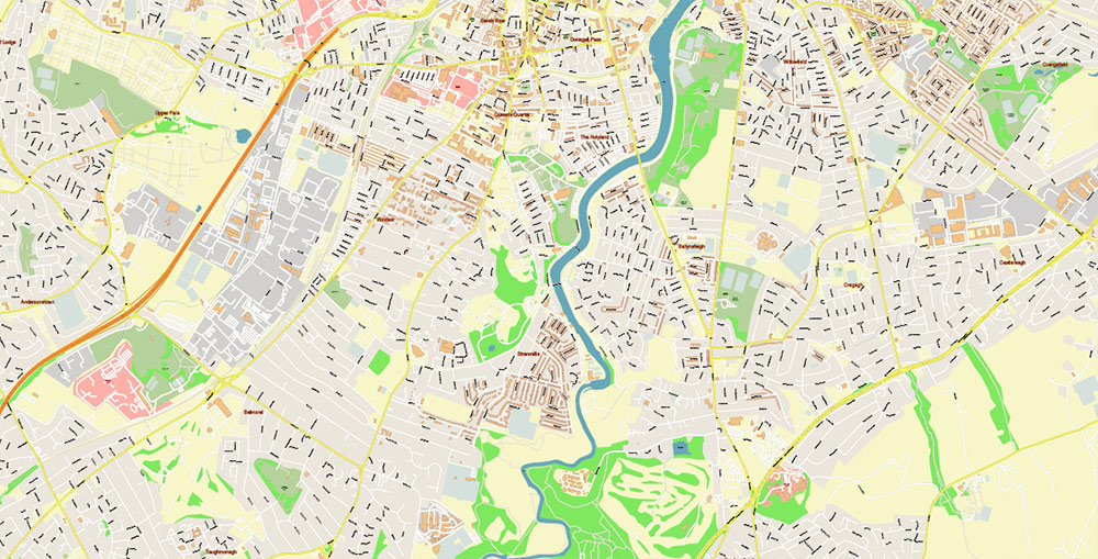
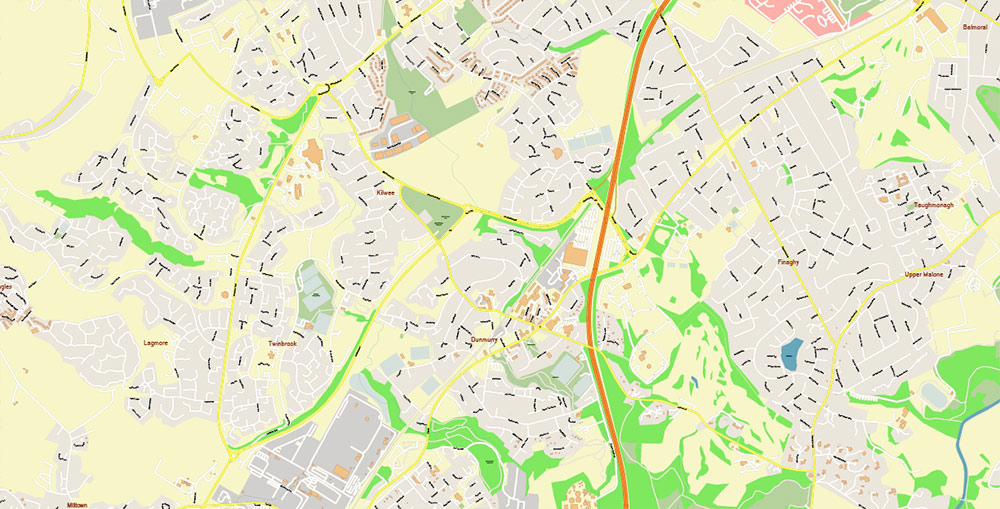
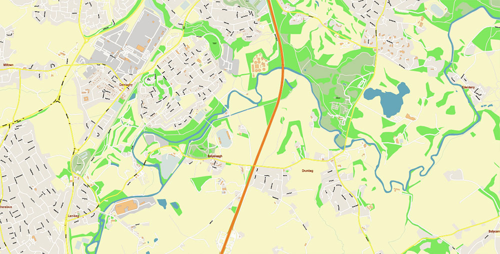
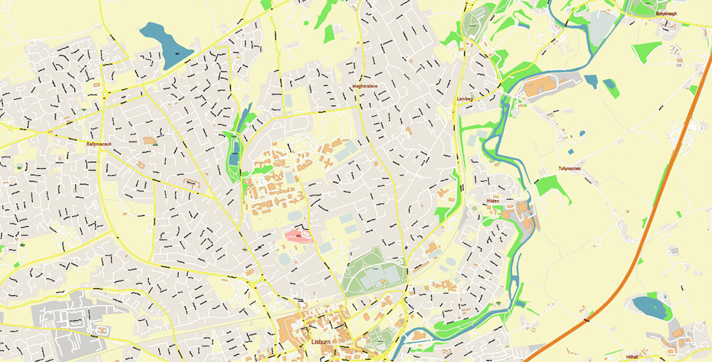
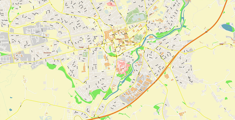
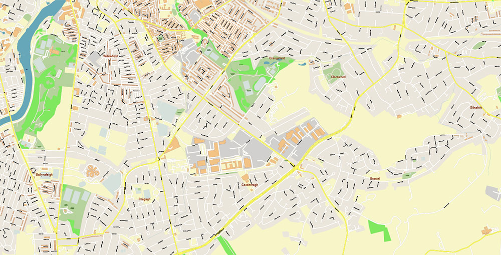
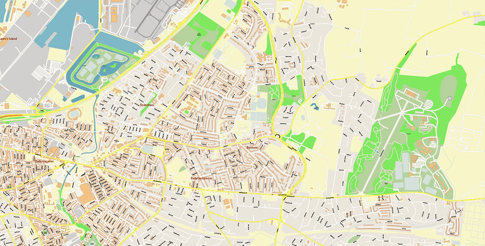
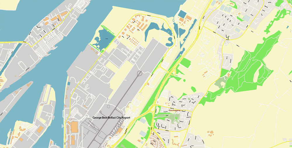
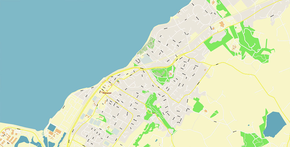
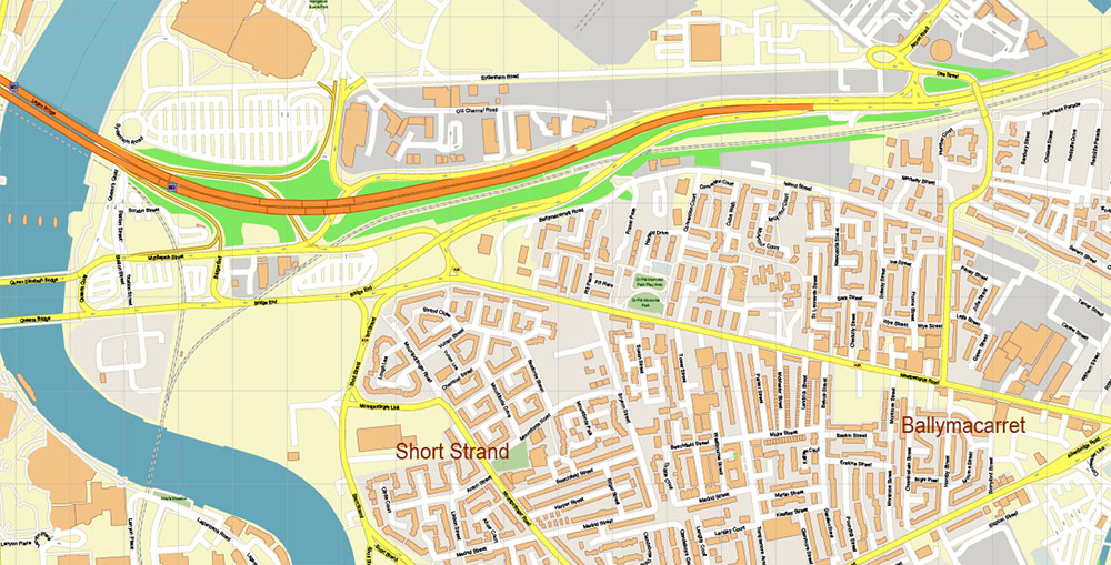
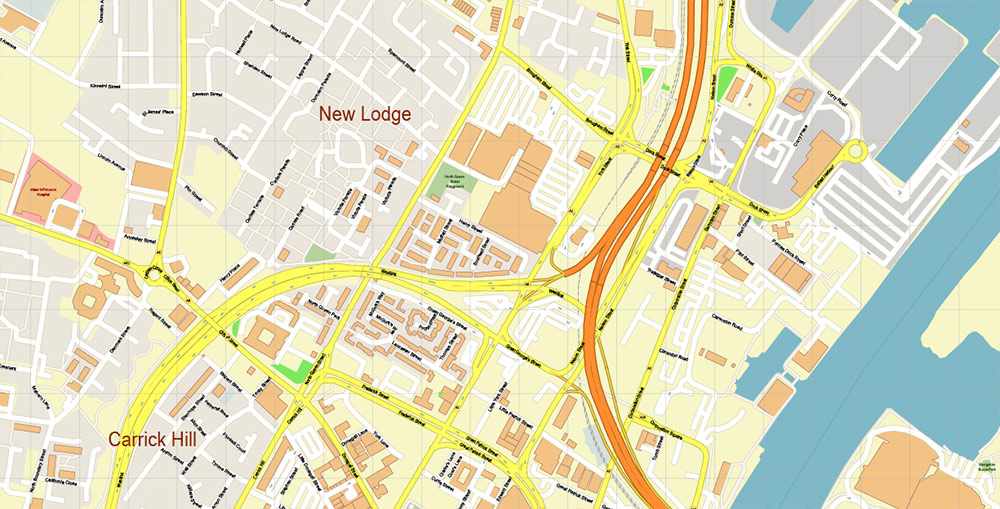
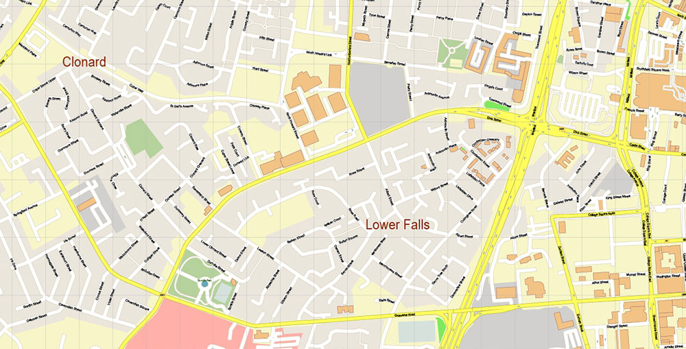
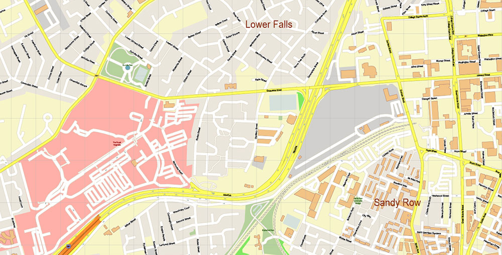
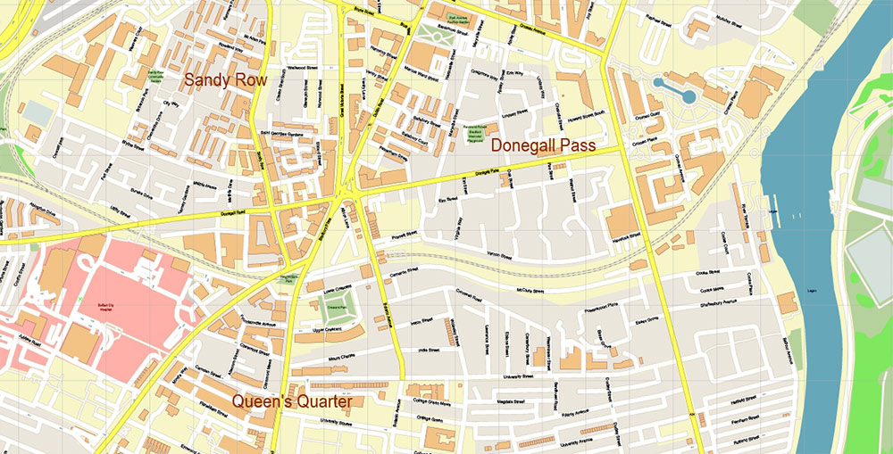
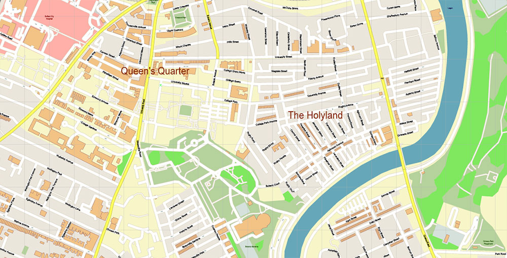
Printable Vector Map of Belfast Northern Ireland UK DXF detailed City Plan scale 1:2721 full editable Autocad + Adobe PDF Street Map in layers, scalable, text format all names, 146 MB ZIP
All street names, Main Objects, Buildings. Map for design, printing, arts, projects, presentations, for architects, designers, and builders, business, logistics.
Need CDR or any other format? Please, contact us!
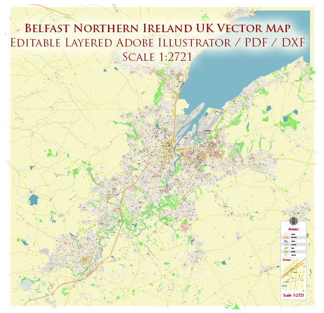
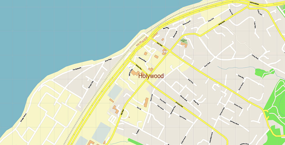
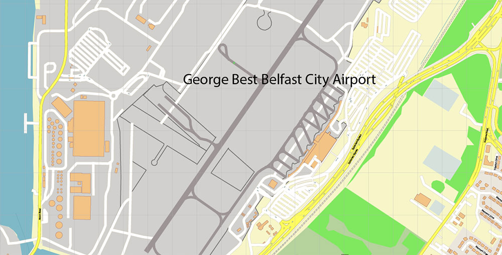
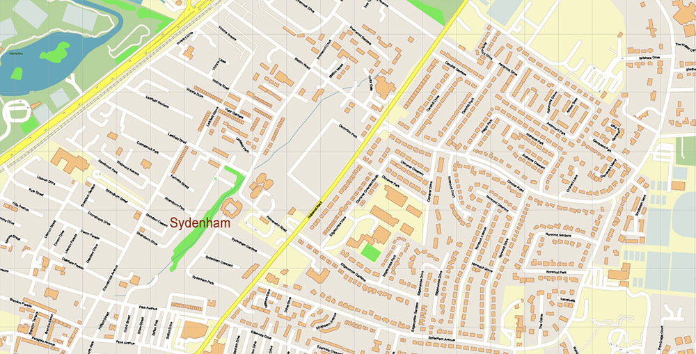
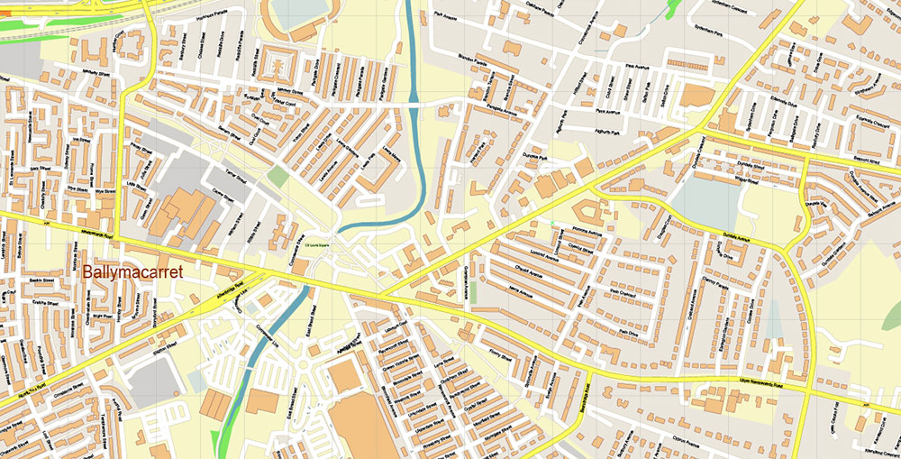
Belfast Northern Ireland UK DXF Map Vector Exact City Plan High Detailed Street Map Autocad + Adobe PDF in layers
Layers list:
- Legend
- Grids
- Labels of roads
- Names of places (city, hamlet, etc.)
- Names of objects (hospitals, parks, water)
- Names of main streets
- Names of residential streets
- Arrows of street drive direction
- Main Streets, roads
- Residential streets
- Railroads
- Buildings
- Airports and heliports
- Water objects (rivers, lakes, ponds)
- Waterways
- Color fills (parks, hospital areas, land use, etc.)
- Islands
- Background and Sea
Belfast Northern Ireland UK DXF Map Vector Exact City Plan High Detailed Street Map Autocad + Adobe PDF in layers
Belfast Northern Ireland UK DXF Map Vector Exact City Plan High Detailed Street Map Autocad + Adobe PDF in layers
Belfast Northern Ireland UK DXF Map Vector Exact City Plan High Detailed Street Map Autocad + Adobe PDF in layers
Belfast Northern Ireland UK DXF Map Vector Exact City Plan High Detailed Street Map Autocad + Adobe PDF in layers
Belfast Northern Ireland UK DXF Map Vector Exact City Plan High Detailed Street Map Autocad + Adobe PDF in layers
Belfast Northern Ireland UK DXF Map Vector Exact City Plan High Detailed Street Map Autocad + Adobe PDF in layers
Belfast Northern Ireland UK DXF Map Vector Exact City Plan High Detailed Street Map Autocad + Adobe PDF in layers
Belfast Northern Ireland UK DXF Map Vector Exact City Plan High Detailed Street Map Autocad + Adobe PDF in layers
Belfast Northern Ireland UK DXF Map Vector Exact City Plan High Detailed Street Map Autocad + Adobe PDF in layers
Belfast Northern Ireland UK DXF Map Vector Exact City Plan High Detailed Street Map Autocad + Adobe PDF in layers
Belfast Northern Ireland UK DXF Map Vector Exact City Plan High Detailed Street Map Autocad + Adobe PDF in layers
Belfast Northern Ireland UK DXF Map Vector Exact City Plan High Detailed Street Map Autocad + Adobe PDF in layers
Belfast Northern Ireland UK DXF Map Vector Exact City Plan High Detailed Street Map Autocad + Adobe PDF in layers
Belfast Northern Ireland UK DXF Map Vector Exact City Plan High Detailed Street Map Autocad + Adobe PDF in layers
Belfast Northern Ireland UK DXF Map Vector Exact City Plan High Detailed Street Map Autocad + Adobe PDF in layers
Belfast Northern Ireland UK DXF Map Vector Exact City Plan High Detailed Street Map Autocad + Adobe PDF in layers
Belfast Northern Ireland UK DXF Map Vector Exact City Plan High Detailed Street Map Autocad + Adobe PDF in layers
Belfast Northern Ireland UK DXF Map Vector Exact City Plan High Detailed Street Map Autocad + Adobe PDF in layers
Belfast Northern Ireland UK DXF Map Vector Exact City Plan High Detailed Street Map Autocad + Adobe PDF in layers
Belfast Northern Ireland UK DXF Map Vector Exact City Plan High Detailed Street Map Autocad + Adobe PDF in layers
Belfast Northern Ireland UK DXF Map Vector Exact City Plan High Detailed Street Map Autocad + Adobe PDF in layers
Belfast Northern Ireland UK DXF Map Vector Exact City Plan High Detailed Street Map Autocad + Adobe PDF in layers
Belfast Northern Ireland UK DXF Map Vector Exact City Plan High Detailed Street Map Autocad + Adobe PDF in layers
Belfast Northern Ireland UK DXF Map Vector Exact City Plan High Detailed Street Map Autocad + Adobe PDF in layers
Belfast Northern Ireland UK DXF Map Vector Exact City Plan High Detailed Street Map Autocad + Adobe PDF in layers
Belfast Northern Ireland UK DXF Map Vector Exact City Plan High Detailed Street Map Autocad + Adobe PDF in layers

 Author: Kirill Shrayber, Ph.D. FRGS
 Street Map editable Adobe Illustrator in layers")
