Taxonomy: Product Tags for this Vector Map
Extended Description of the Vector Map
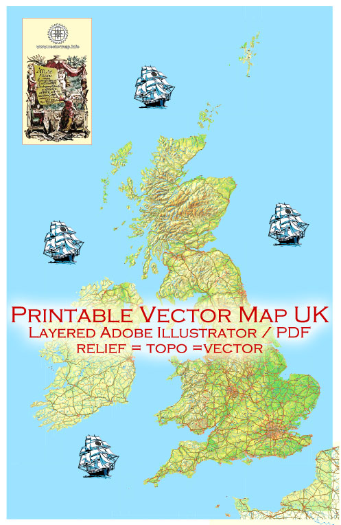
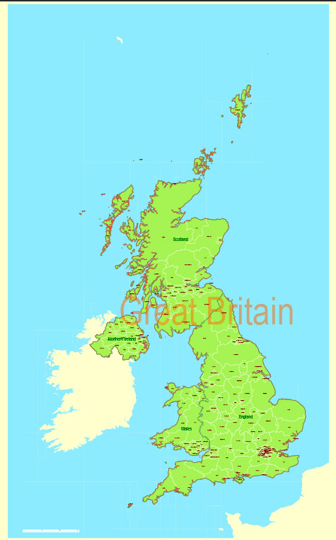
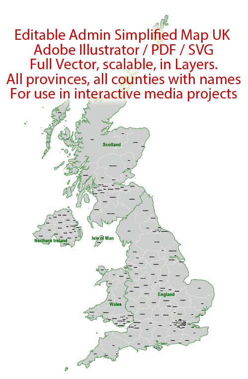
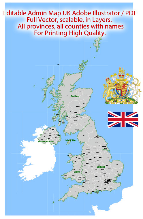
UK Great Britain Map Administrative Vector Adobe Illustrator Editable PDF Provinces Counties for publishing, design, media, projects, presentations, for High Quality Printing
Layers: Provinces, Counties, Borders_provinces, Borders_counties, Names_provinces, Names_counties, Flag, sea.
Text format all names
Great Britain
Island in the United Kingdom
Great Britain is an island separated from the European mainland by the English Channel and North Sea. It comprises the nations of England, Scotland and Wales. Its long history is evident in prehistoric sites such as Neolithic Stonehenge and medieval castles like those at Warwick, Dover and Caernarfon. Roman ruins include Hadrian’s Wall, which once divided Roman Britain from the northern Scottish Lowlands.
Area: 209,331 km²
Largest city: London (pop. 8,615,246)
Location: Northwestern Europe
Highest point: Ben Nevis
 If you have any questions, please, feel free to contact us via WhatsApp +1.829.4100078
 We accept PayPal and all Debit or Credit Cards | Instantly Download Your Map after payment.
 Author: Kirill Shrayber, Ph.D.