Extended Description of the Vector Map
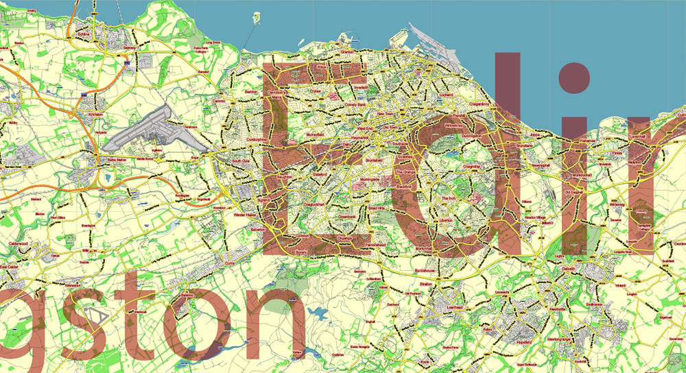
Printable Vector Map Full Scotland UK, all Roads, Cities, Towns, with names, Railroads, Names Main Roads, fully editable in layers, Adobe Illustrator, scalable, editable text format of all names, 193 Mb ZIP.
Map for publishing, design, printing, publications, arts, projects, presentations, for architects, designers, and builders, business, logistics. The most exact and detailed map.
For printing any format.
Please note: in the preview, ALL LAYERS are enabled and visible. Of course, you can easily turn off the layers you don’t need and the map will become much simpler.
DWG, DXF, CDR, ESRI Shapes, and other formats – by request, the same price, please contact us.
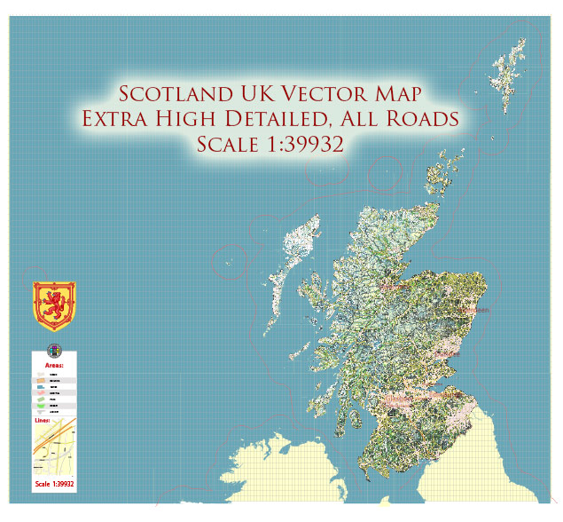
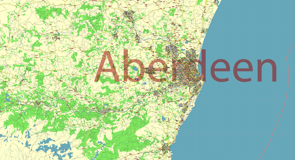
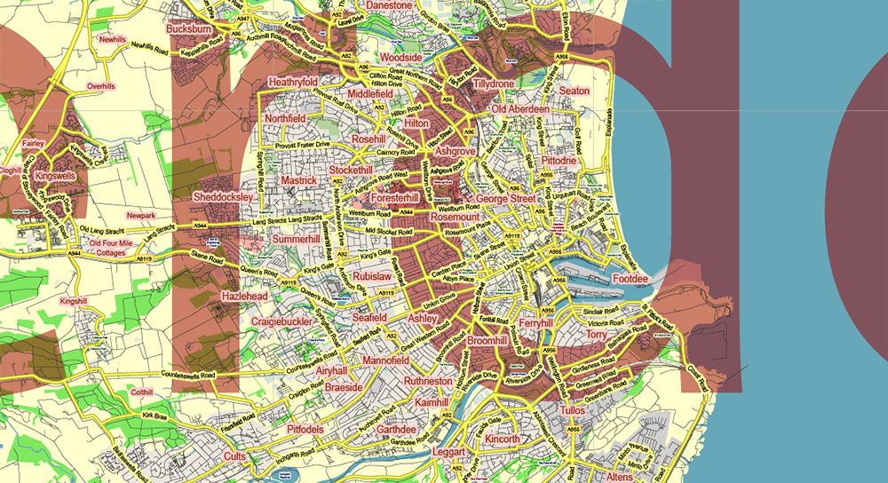
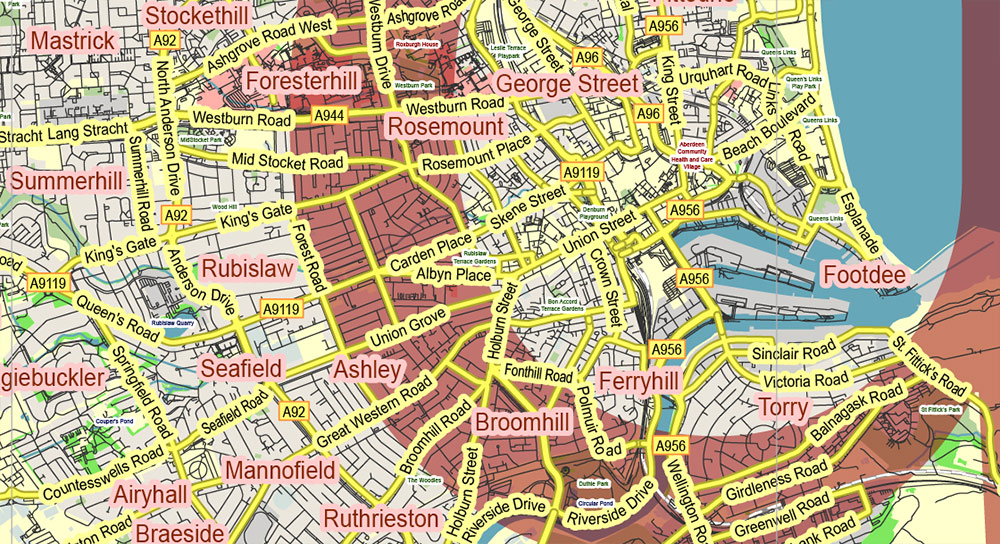
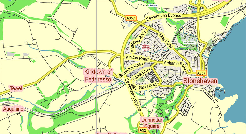
Scotland UK Full High Detailed Vector Map All Roads Editable Layered Adobe Illustrator
Separated layers:
- Legend
- Grids
- Labels of roads
- Names objects (parks, hospital areas) (+ halo)
- Names Places (+ halo)
- Names Main Road and Streets (interstate, highways) (+ halo)
- Main Roads and streets (lines)
- Names Main Cities
- All Streets and Roads
- Railroads
- Water areas
- Islands (polygons)
- Sea (polygons)
- Background
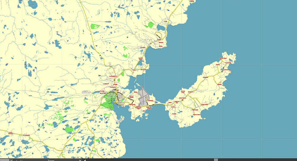
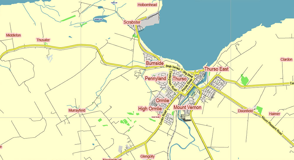
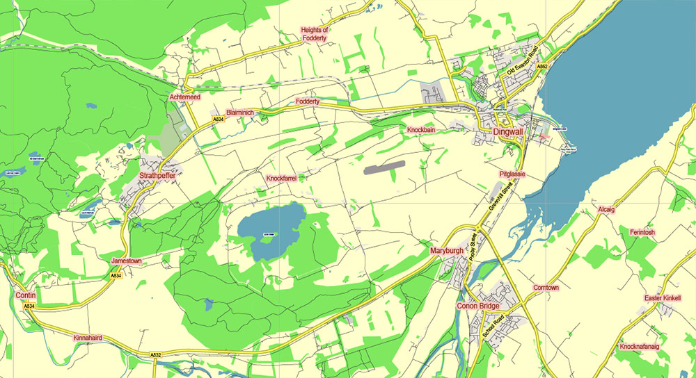
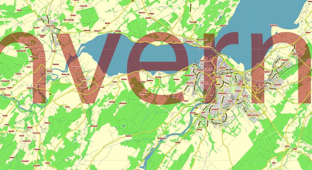
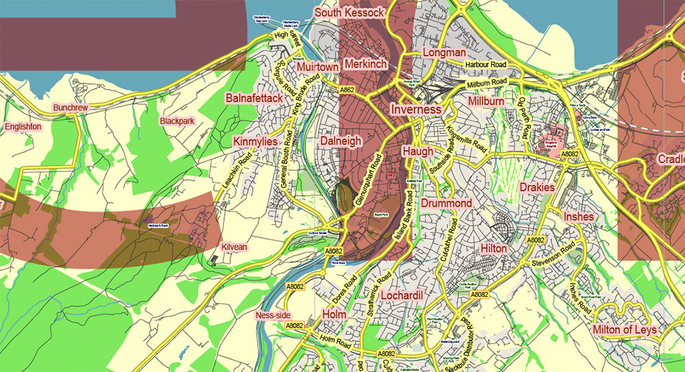
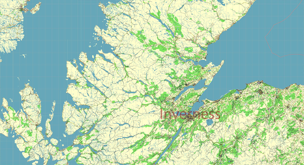
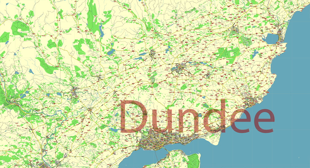
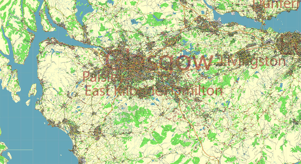
Scotland UK Full High Detailed Vector Map All Roads Editable Layered Adobe Illustrator
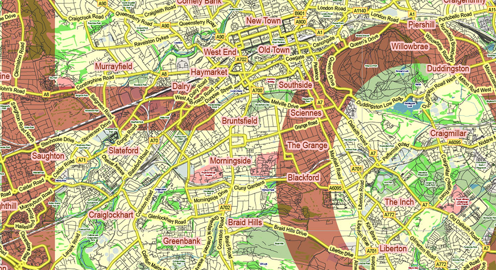
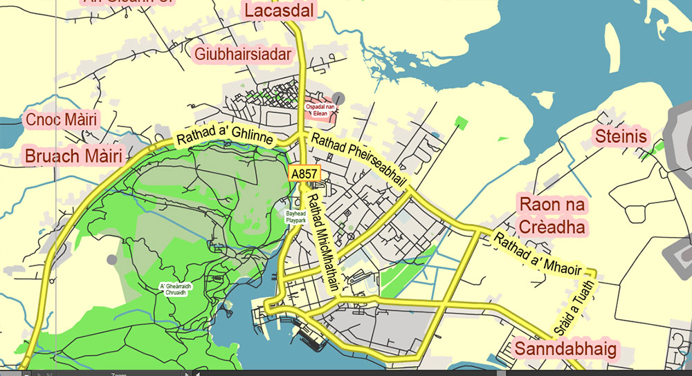
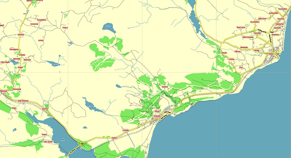
Scotland UK Full High Detailed Vector Map All Roads Editable Layered Adobe Illustrator
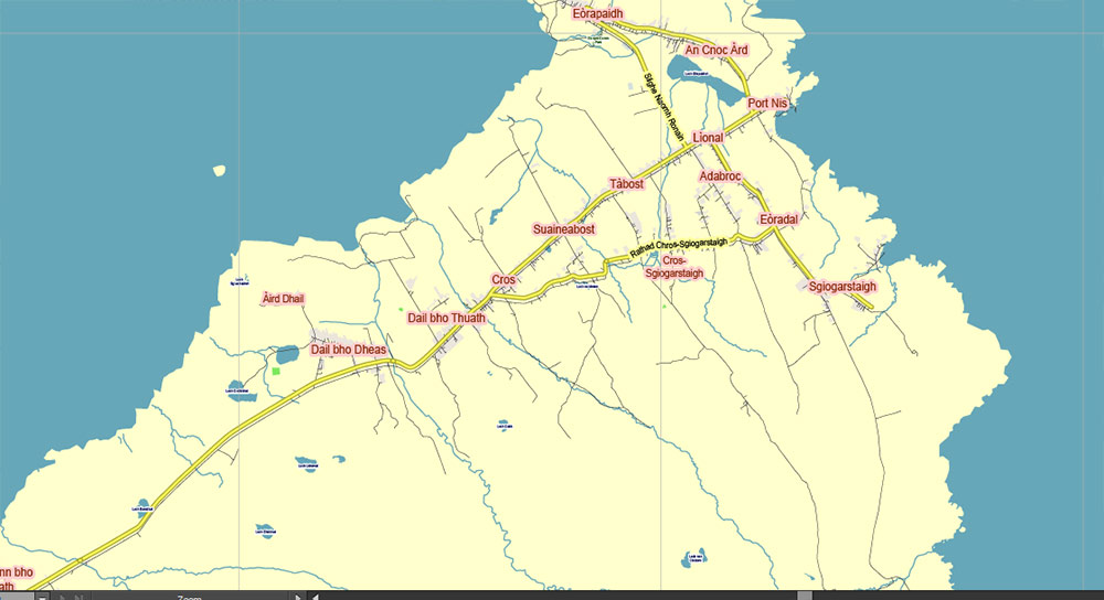
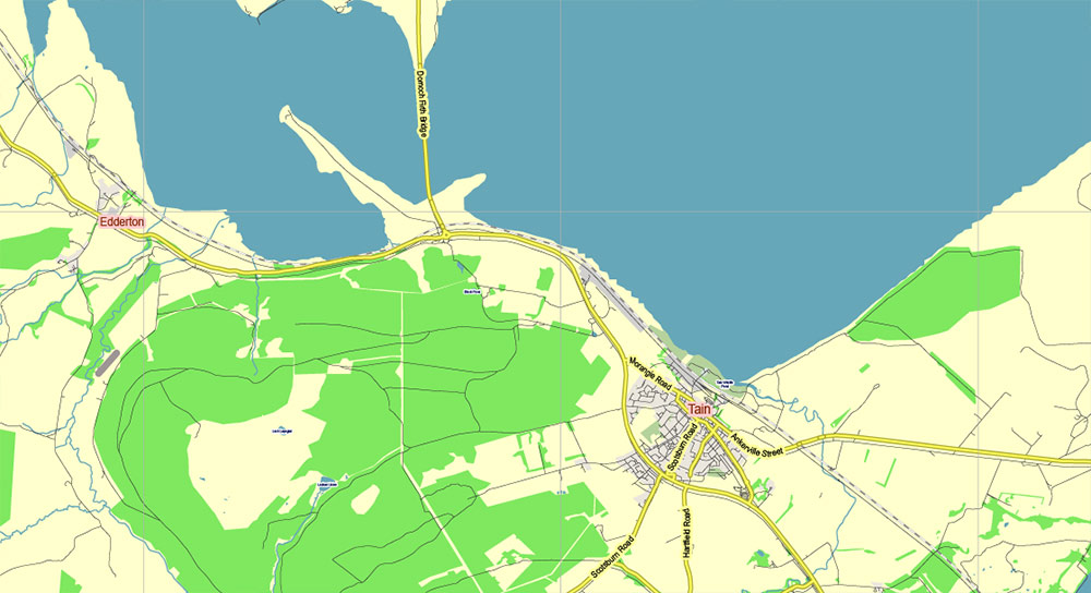
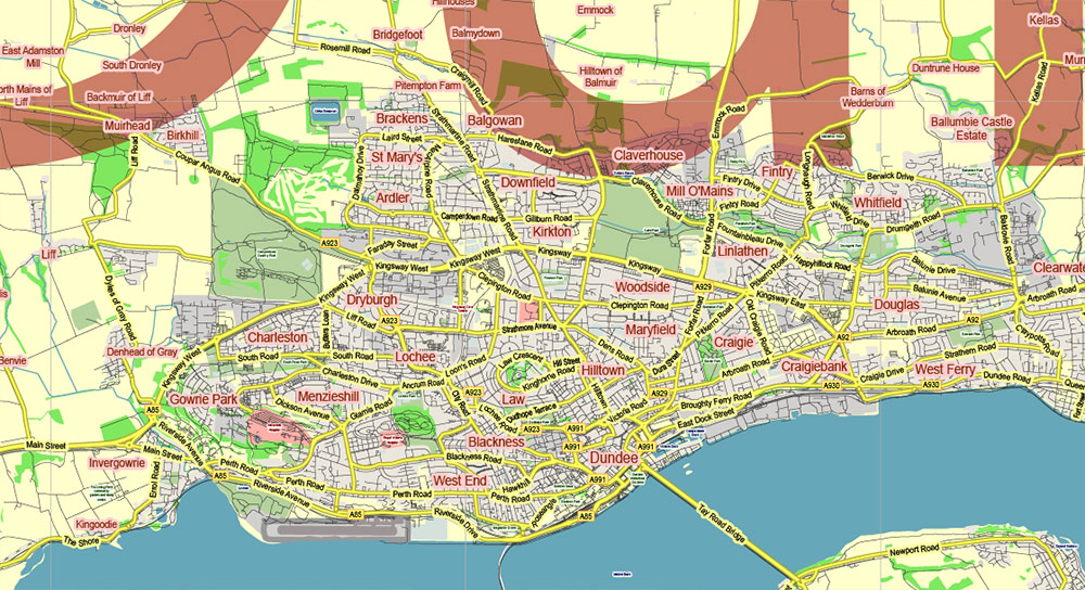
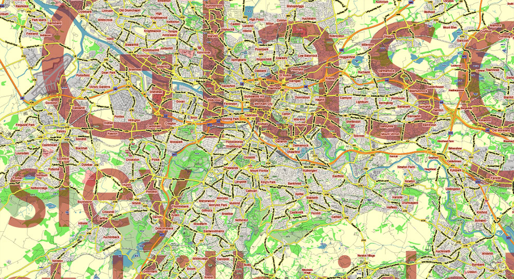
Scotland UK Full High Detailed Vector Map All Roads Editable Layered Adobe Illustrator

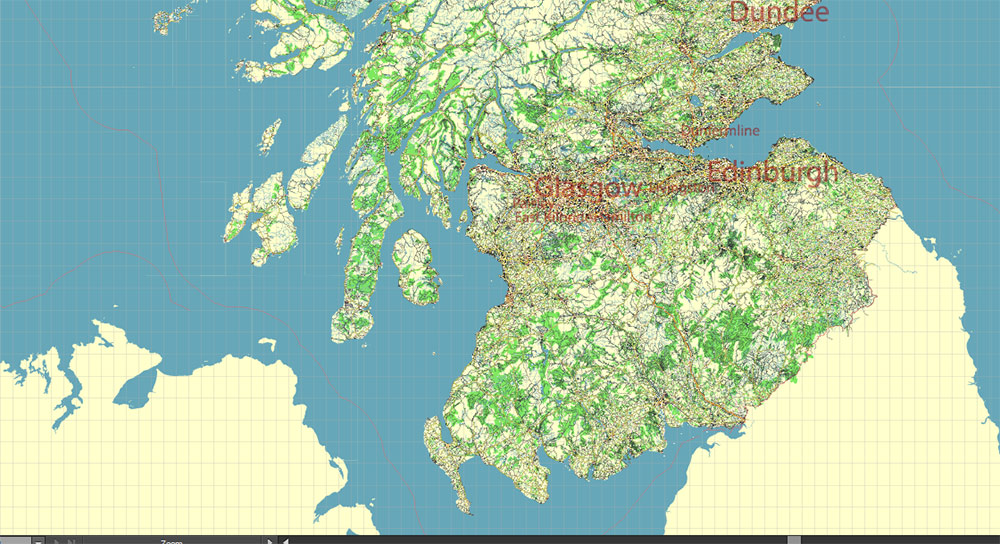
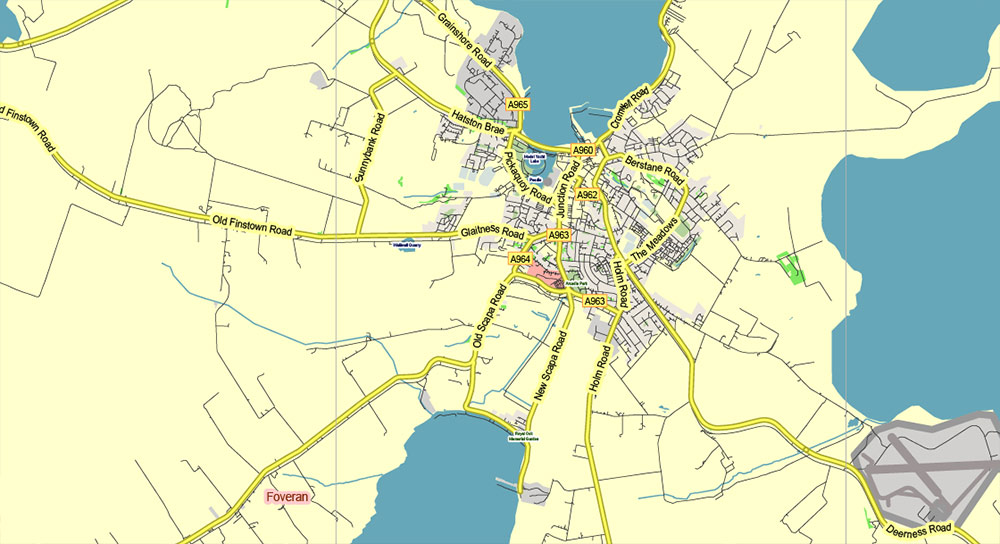
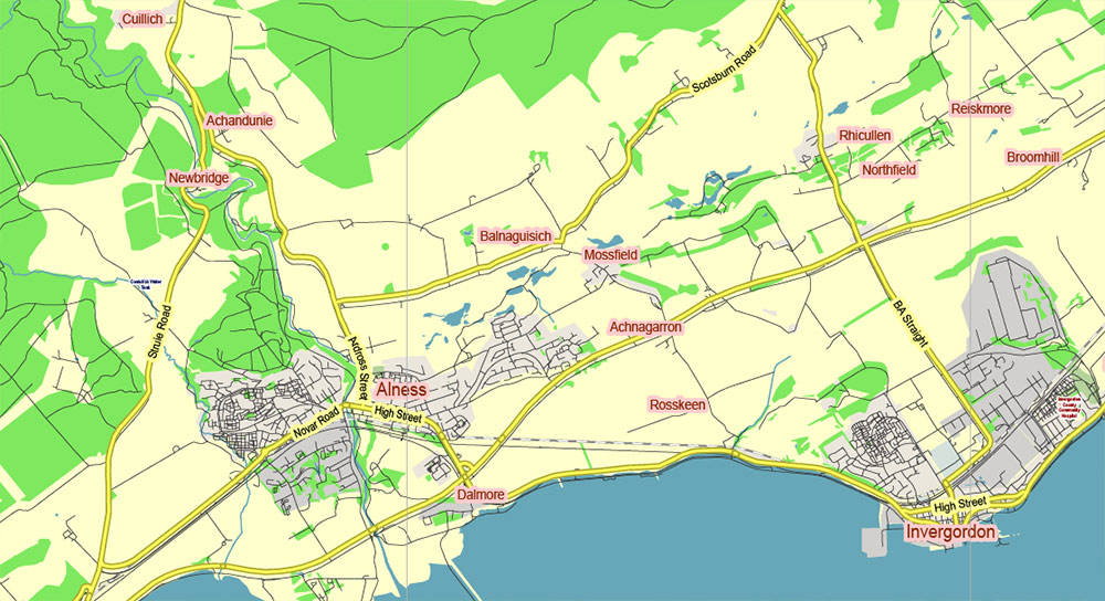
Scotland UK Full High Detailed Vector Map All Roads Editable Layered Adobe Illustrator
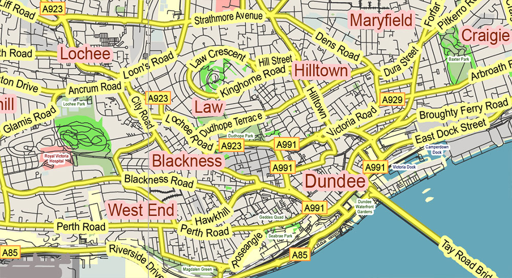
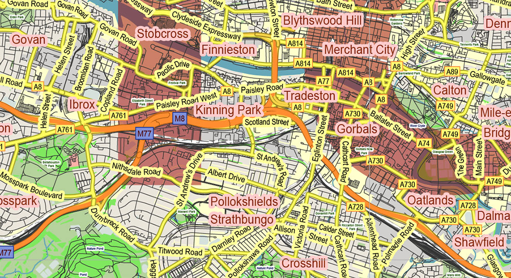
Scotland UK Full High Detailed Vector Map All Roads Editable Layered Adobe Illustrator
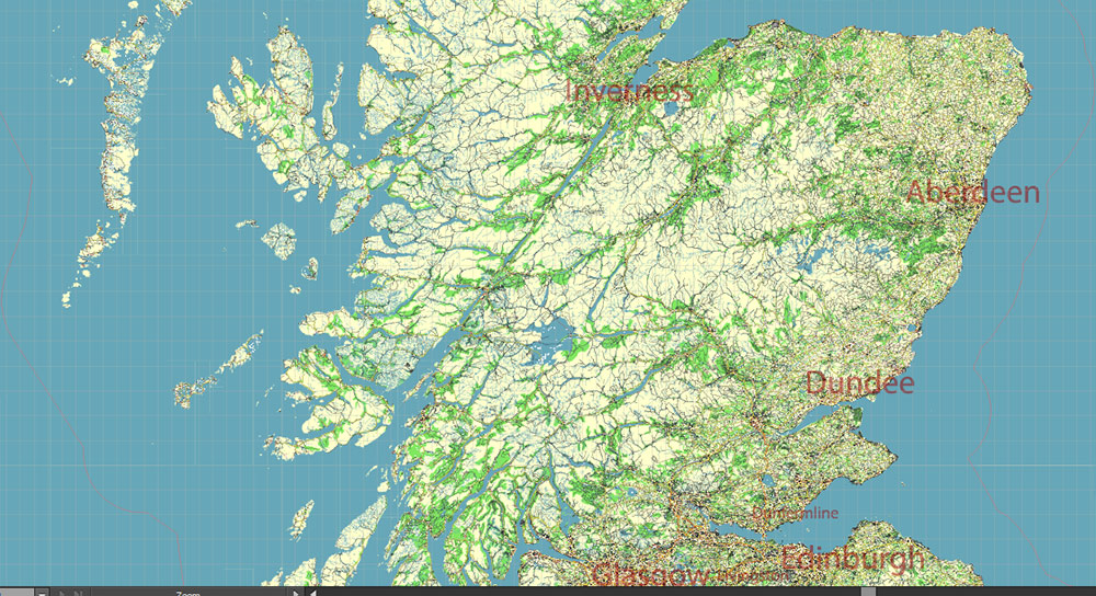
Scotland UK Full High Detailed Vector Map All Roads Editable Layered Adobe Illustrator
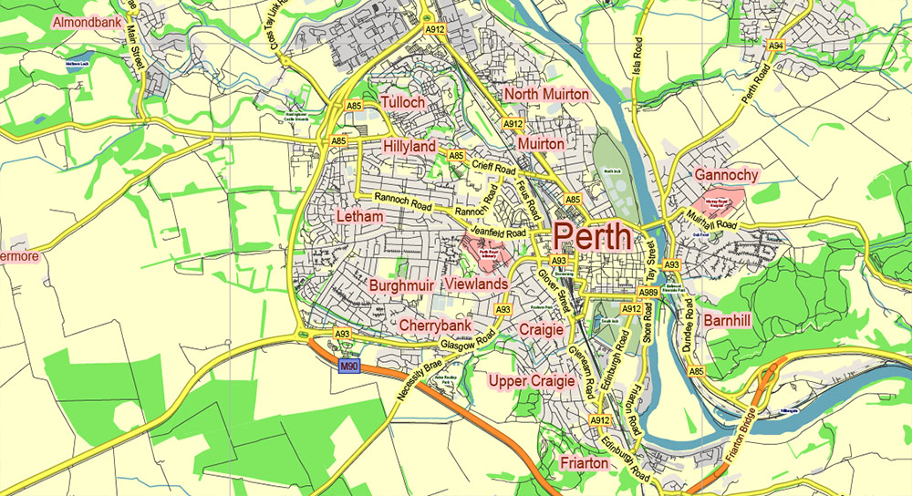
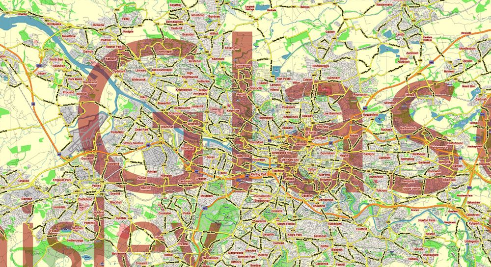
Scotland UK Full High Detailed Vector Map All Roads Editable Layered Adobe Illustrator
Scotland UK Full High Detailed Vector Map All Roads Editable Layered Adobe Illustrator
Scotland UK Full High Detailed Vector Map All Roads Editable Layered Adobe Illustrator
Scotland UK Full High Detailed Vector Map All Roads Editable Layered Adobe Illustrator
Scotland UK Full High Detailed Vector Map All Roads Editable Layered Adobe Illustrator
Scotland UK Full High Detailed Vector Map All Roads Editable Layered Adobe Illustrator
Scotland UK Full High Detailed Vector Map All Roads Editable Layered Adobe Illustrator
Scotland UK Full High Detailed Vector Map All Roads Editable Layered Adobe Illustrator
Scotland UK Full High Detailed Vector Map All Roads Editable Layered Adobe Illustrator
Scotland UK Full High Detailed Vector Map All Roads Editable Layered Adobe Illustrator
Scotland UK Full High Detailed Vector Map All Roads Editable Layered Adobe Illustrator
Scotland UK Full High Detailed Vector Map All Roads Editable Layered Adobe Illustrator
Scotland UK Full High Detailed Vector Map All Roads Editable Layered Adobe Illustrator
Scotland UK Full High Detailed Vector Map All Roads Editable Layered Adobe Illustrator
Scotland UK Full High Detailed Vector Map All Roads Editable Layered Adobe Illustrator
Scotland UK Full High Detailed Vector Map All Roads Editable Layered Adobe Illustrator
Scotland UK Full High Detailed Vector Map All Roads Editable Layered Adobe Illustrator
Scotland UK Full High Detailed Vector Map All Roads Editable Layered Adobe Illustrator
Scotland UK Full High Detailed Vector Map All Roads Editable Layered Adobe Illustrator
Scotland UK Full High Detailed Vector Map All Roads Editable Layered Adobe Illustrator
Scotland UK Full High Detailed Vector Map All Roads Editable Layered Adobe Illustrator
Scotland UK Full High Detailed Vector Map All Roads Editable Layered Adobe Illustrator
Scotland UK Full High Detailed Vector Map All Roads Editable Layered Adobe Illustrator

 Author: Kirill Shrayber, Ph.D. FRGS


