Turku Map Vector Finland Low detailed City Plan editable Layered Adobe Illustrator Street Map

  1. Home
  2. Europe maps
  3. Finland cities and country vector maps: PDF and Adobe Illustrator
  4. Turku Map Vector Finland Low detailed City Plan editable Layered Adobe Illustrator Street Map

WhatsApp us! If you have any questions, please, feel free to contact us via WhatsApp +1.829.4100078

We accept PayPal and all  Debit or Credit Cards | Instantly Download Your Map after payment.
Verified Seller 10+ years.

$ 33.00

Printable Vector Map Turku Finland, exact Low detailed City Plan, Scale 1:37061, editable Layered Adobe Illustrator Street Map, 7 Mb ZIP.
Main streets names, Buildings. Map for publishing, design, printing, publications, arts, projects, presentations, for architects, designers and builders, business, logistics. The most exact and detailed map of the city.
Layers: legend, grids, labels_roads, names_places, names_streets,  buildings, streets_roads, color_fills, etc.
Text format all names, for High Quality Printing

SKU: 2018.29.09.TK.FI.GVL13B.AI
Share this map for your friends!

Taxonomy: Product Tags for this Vector Map

AutoCAD Map Turku Finland, City Map Turku Finland, City Plan Turku Finland, CorelDraw Map Turku Finland, DWG Map Turku Finland, DXF Map Turku Finland, Editable Map Turku Finland, Illustrator Map Turku Finland, Map Turku Finland for Printing, PDF Map Turku Finland, printable map Turku Finland, Road Map Turku Finland, Street Map Turku Finland, Tourist Map Turku Finland, Turku Finland City Vector Map: PDF and Adobe Illustrator, Turku Finland Map, Urban Plan Turku Finland, Vector Map Turku Finland

Map Categories

Europe maps, Finland cities and country vector maps: PDF and Adobe Illustrator

Extended Description of the Vector Map

Printable Vector Map Turku Finland, exact Low detailed City Plan, Scale 1:37061, editable Layered Adobe Illustrator Street Map, 7 Mb ZIP.
Main streets names, Buildings. Map for publishing, design, printing, publications, arts, projects, presentations, for architects, designers and builders, business, logistics. The most exact and detailed map of the city.
Layers: legend, grids, labels_roads, names_places, names_streets,  buildings, streets_roads, color_fills, etc.
Text format all names, for High Quality Printing
DWG, DXF, CDR, ESRI Shapes, and other formats – by request, same price, please contact. 

Turku
City in Finland
Turku, a city on the southwest coast of Finland, straddles the Aura River. Dating from the 13th century, it’s known for Turku Castle, a medieval fortress with a history museum, perched at the river mouth. Restaurants line the cobbled riverside streets. On the eastern bank lies the Old Great Square, a former trade hub, surrounded by grand buildings. The nearby Turku Cathedral houses a royal tomb and a museum.

Area
• City 306.36 km2 (118.29 sq mi)
• Land 245.67 km2 (94.85 sq mi)
• Water 60.7 km2 (23.4 sq mi)
• Urban 252.65 km2 (97.55 sq mi)
• Metro 2,331.1 km2 (900.0 sq mi)
Area rank 247th largest in Finland
Population
• City 188,584
• Rank 6th largest in Finland
• Density 767.63/km2 (1,988.2/sq mi)
• Urban 252,468
• Urban density 999,3/km2 (25,880/sq mi)
• Metro 315,751
Population by native language
• Finnish 88.1% (official)
• Swedish 5.2% (official)
• Others 6.7%
Population by age
• 0 to 14 13.1%
• 15 to 64 69.5%
• 65 or older 17.4%

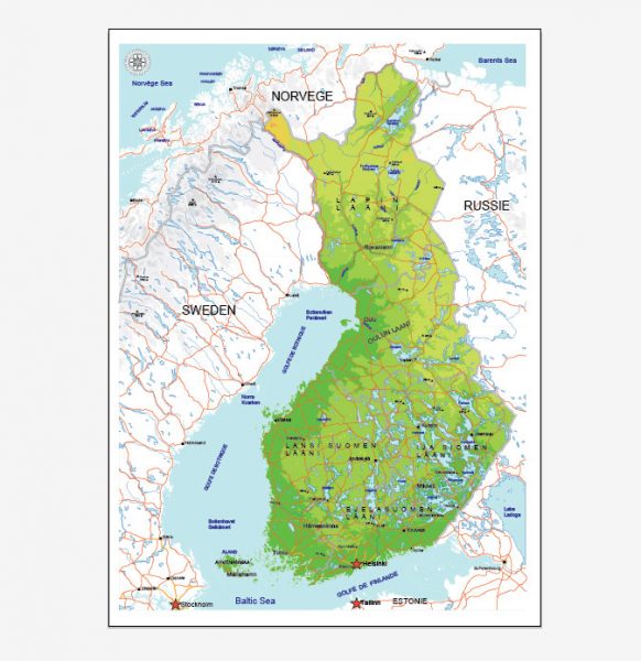
See Also:  Full Vector Map Finland

Full Map Finland

Free vector maps:

europe_blank_laea_location_map_all
Free download printable map Europe vector Adobe Illustrator >>>

Free download printable PDF map Europe vector Adobe PDF >>>  


Author: Kirill Shrayber, Ph.D.

I have been working with vector cartography for over 25 years, including GPS, GIS, Adobe Illustrator and other professional cartographic software.
Linkedin: https://www.linkedin.com/in/kirill-shrayber-0b839325/
Twitter: https://twitter.com/vectormapper

See more maps of this city / area / state / country

Menu