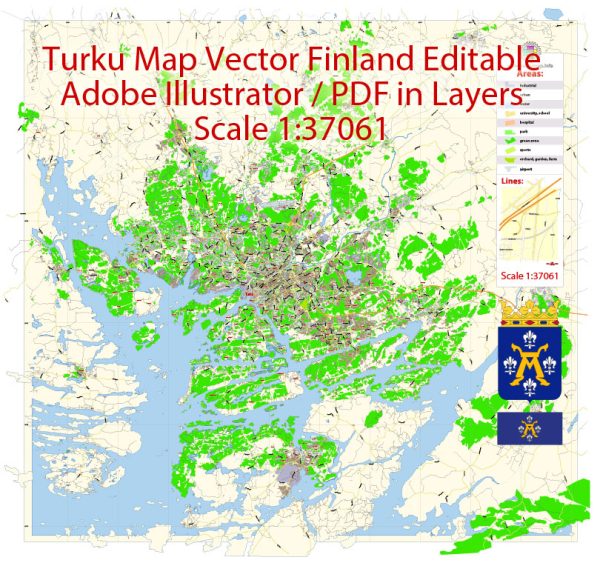
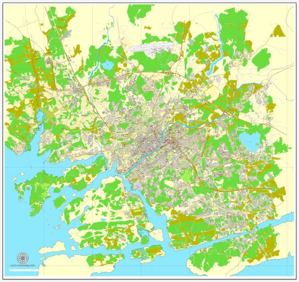
Turku is a historic city located in southwestern Finland, known for its rich cultural heritage and picturesque surroundings. The city is situated at the mouth of the Aura River, and it has several districts, communities, and main streets that contribute to its vibrant character.
Vectormap.Net provide you with the most accurate and up-to-date vector maps in Adobe Illustrator, PDF and other formats, designed for editing and printing. Please read the vector map descriptions carefully.
Districts:
- City Centre (Keskusta):
- Description: The heart of Turku, the City Centre is home to the market square, Turku Cathedral, and many historical landmarks. It’s a bustling area with shops, restaurants, and cultural attractions.
- Port Arthur (Satama):
- Description: Located near the harbor, Port Arthur is known for its maritime history. The area has a mix of residential and industrial buildings, including old shipyards and warehouses.
- Varissuo:
- Description: Varissuo is a residential district in the northeastern part of Turku. It offers a mix of housing, parks, and local services.
- Runosmäki:
- Description: Situated to the northwest of the city centre, Runosmäki is a residential area with schools, parks, and recreational facilities.
- Kakskerta:
- Description: Kakskerta is an island district located west of the city centre. It features a rural setting with countryside landscapes, old estates, and the beautiful Kakskerta Church.
Communities:
- Maarianhamina:
- Description: This community is in the southeastern part of Turku and has a mix of residential areas, schools, and local services.
- Mäntymäki:
- Description: Mäntymäki is a residential area in the eastern part of the city, known for its green spaces and proximity to the Archipelago Sea.
- Pansio:
- Description: Pansio is a district with both residential and industrial areas, located southwest of the city centre.
Main Streets:
- Yliopistonkatu:
- Description: Yliopistonkatu is one of the main streets in the city centre, hosting shops, cafes, and cultural institutions.
- Aurakatu:
- Description: Running through the city centre, Aurakatu is known for its historic buildings, boutiques, and restaurants.
- Linnankatu:
- Description: Linnankatu is a street near the Turku Castle, featuring charming buildings, shops, and cafes.
- Hämeenkatu:
- Description: Located in the City Centre, Hämeenkatu is another lively street with a mix of shops, restaurants, and cultural venues.
- Humalistonkatu:
- Description: Humalistonkatu is known for its trendy atmosphere, with boutiques, galleries, and cafes attracting locals and visitors alike.
Remember that Turku is well-known for its archipelago, and exploring the islands around the city can provide a unique and picturesque experience. The city’s rich history, combined with its modern amenities, makes it a fascinating destination in Finland.


 Author: Kirill Shrayber, Ph.D.