Detailed Geographical Description of Puerto Rico
Location and General Overview
Puerto Rico is an island territory of the United States located in the northeastern Caribbean Sea. It is situated east of the Dominican Republic, west of the Virgin Islands, and approximately 1,000 miles (1,600 kilometers) southeast of Miami, Florida. The island lies between latitudes 17°50’N and 18°30’N and longitudes 65°20’W and 67°30’W.
Puerto Rico comprises the main island of Puerto Rico and several smaller islands, including Vieques, Culebra, and Mona. The territory has a total land area of about 3,515 square miles (9,104 square kilometers), making it the smallest of the Greater Antilles.
Topography and Geology
Puerto Rico’s terrain is characterized by a combination of coastal plains, rolling hills, and mountainous interiors. The island’s highest point is Cerro de Punta, located in the Cordillera Central, which rises to 4,390 feet (1,338 meters) above sea level. The Cordillera Central runs east-west through the center of the island, dividing it into northern and southern regions.
The northern region is dominated by a karst landscape, with limestone hills, caves, and sinkholes, particularly around the municipalities of Arecibo, Utuado, and Camuy. The southern region features drier coastal plains and fewer water bodies compared to the wetter northern coastal region.
Puerto Rico’s geology includes volcanic and sedimentary formations, as the island was formed from volcanic activity during the Cretaceous period, followed by sedimentary deposits and uplift.
Climate
Puerto Rico has a tropical climate, with temperatures ranging between 70°F and 85°F (21°C to 29°C) year-round. The island experiences two distinct seasons: the wet season from May to November and the dry season from December to April. Annual rainfall varies by region, with the northeastern mountains receiving over 150 inches (3,810 mm) per year, while the southern coast receives less than 40 inches (1,020 mm).
Rivers, Lakes, and Water Resources
Puerto Rico is home to numerous rivers, primarily in the north and central regions. The longest river is the Río de la Plata, which flows 60 miles (97 km) from the Cordillera Central to the Atlantic Ocean. Other notable rivers include the Río Grande de Loíza and Río Grande de Arecibo.
The island has few natural lakes; however, man-made reservoirs such as Lago Dos Bocas and Lago Guajataca provide water for irrigation, hydroelectric power, and municipal use.
Coastal Features
Puerto Rico has an extensive coastline of approximately 311 miles (500 kilometers), marked by sandy beaches, rocky cliffs, and mangrove forests. The northern coast faces the Atlantic Ocean and features rugged cliffs and wide beaches. The southern coast, along the Caribbean Sea, has calmer waters and is known for its coral reefs.
The bioluminescent bays of Vieques (Mosquito Bay), Fajardo (Laguna Grande), and Lajas (La Parguera) are unique coastal features, where microorganisms cause the water to glow at night.
Flora and Fauna
Puerto Rico has a diverse ecosystem, ranging from rainforests to dry forests. El Yunque National Forest, located in the northeastern part of the island, is the only tropical rainforest in the U.S. National Forest System. It is home to various endemic species, including the Puerto Rican parrot (Amazona vittata).
In the southwest, the Guánica Dry Forest, a UNESCO Biosphere Reserve, features xerophytic vegetation. Coastal mangrove forests and coral reefs provide critical habitats for marine life.
Administrative and Urban Areas
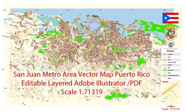
Puerto Rico is divided into 78 municipalities, each functioning as an autonomous entity. San Juan, the capital city, is located on the northern coast and serves as the economic and cultural hub. Other major urban areas include Ponce in the south, Mayagüez in the west, and Caguas in the central region.
Surrounding Islands
- Vieques and Culebra: Known for pristine beaches and nature reserves.
- Mona Island: An uninhabited island off the west coast, known for its unique flora and fauna.
Puerto Rico’s geography combines striking natural beauty with diverse ecological zones, making it a fascinating region for exploration and study.
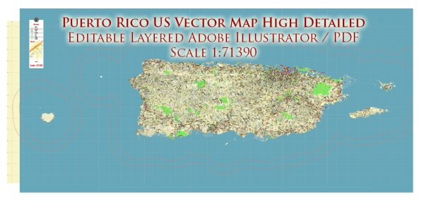
Printable CDR CorelDraw + PDF Vector Map of Puerto Rico Full State, US: All Streets and Roads + ZIP (postal) codes areas, fully editable Map in layers, in 1 archive, scalable, 101 MB ZIP
Scale: 1:71390
All streets and roads, Names of Principal streets, All Cities and Towns, airports, and heliports. Map for design, printing, arts, projects, presentations, for architects, designers, and builders, business, logistics.
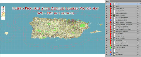
ATTN! All objects are located on separate layers by type. The preview shows them all together. When you work with this map, just turn off or delete those layers that are not needed for your project.
For Editing and High-Quality Printing, Royalty free
Need AutoCAD DWG / DXF, Ai, or any other format? Please, contact us!

Puerto Rico Full State US CDR + PDF Vector Map: Full Extra High Detailed (all roads, zipcodes, airports) editable Adobe PDF + CDR CorelDraw in layers
Layers list:
- Legend
- Grids
- Labels of roads (numbers) – highways, interstate
- Names places: Names of all Cities, towns, villages, and hamlets
- Names of the Airports and Heliports
- Points of the Airports and Heliports
- Numbers of ZIP codes
- Names of objects (water, park, hospital)
- Names of the Main Streets
- Major Roads and Streets – Highways
- Minor Roads and residential streets
- Railroads
- Water objects (rivers, lakes, ponds, swamps, reefs)
- Waterways
- Ground objects (urban areas, parks, hospitals, etc.)
- ZIP-codes areas
- Islands
- Sea
- Background
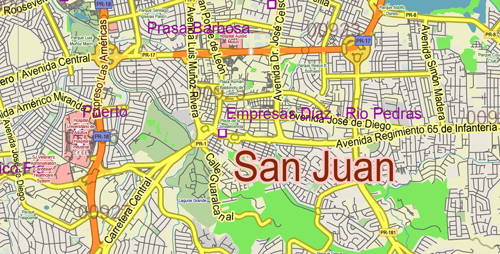
Puerto Rico Full State US CDR + PDF Vector Map: Full Extra High Detailed (all roads, zipcodes, airports) editable Adobe PDF + CDR CorelDraw in layers
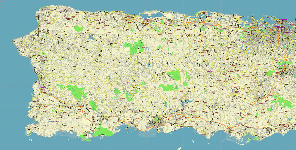
Puerto Rico Full State US CDR + PDF Vector Map: Full Extra High Detailed (all roads, zipcodes, airports) editable Adobe PDF + CDR CorelDraw in layers
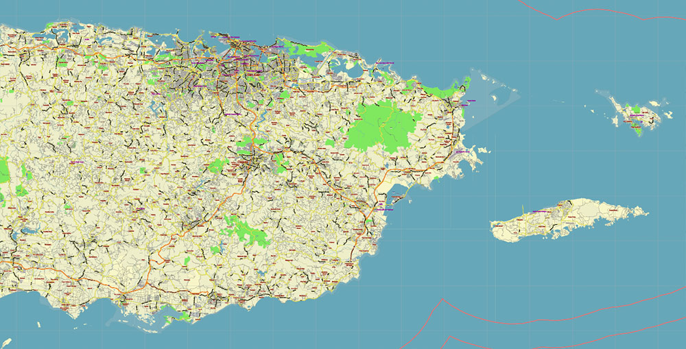
Puerto Rico Full State US CDR + PDF Vector Map: Full Extra High Detailed (all roads, zipcodes, airports) editable Adobe PDF + CDR CorelDraw in layers
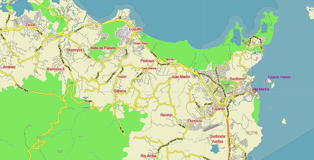
Puerto Rico Full State US CDR + PDF Vector Map: Full Extra High Detailed (all roads, zipcodes, airports) editable Adobe PDF + CDR CorelDraw in layers
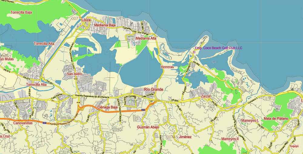
Puerto Rico Full State US CDR + PDF Vector Map: Full Extra High Detailed (all roads, zipcodes, airports) editable Adobe PDF + CDR CorelDraw in layers
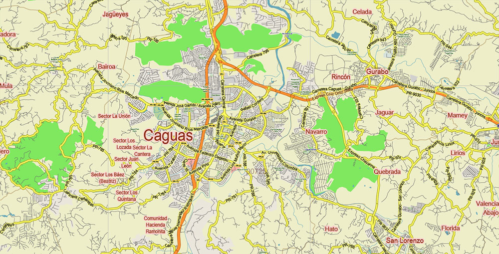
Puerto Rico Full State US CDR + PDF Vector Map: Full Extra High Detailed (all roads, zipcodes, airports) editable Adobe PDF + CDR CorelDraw in layers
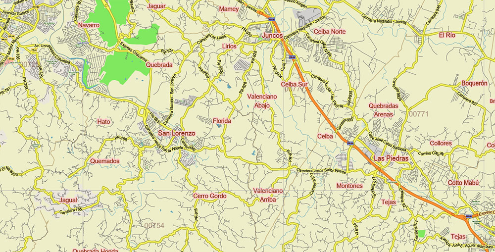
Puerto Rico Full State US CDR + PDF Vector Map: Full Extra High Detailed (all roads, zipcodes, airports) editable Adobe PDF + CDR CorelDraw in layers
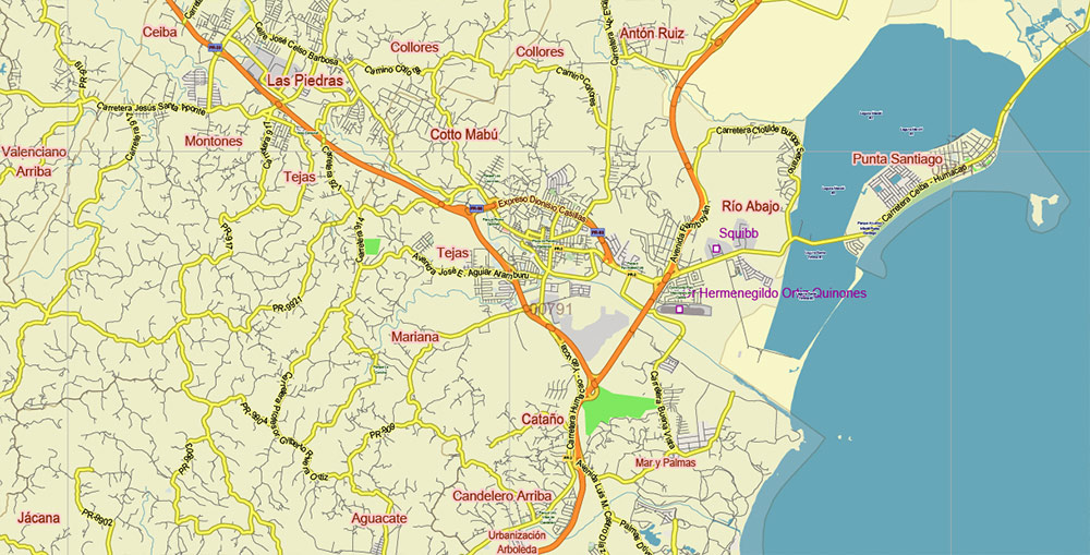
Puerto Rico Full State US CDR + PDF Vector Map: Full Extra High Detailed (all roads, zipcodes, airports) editable Adobe PDF + CDR CorelDraw in layers
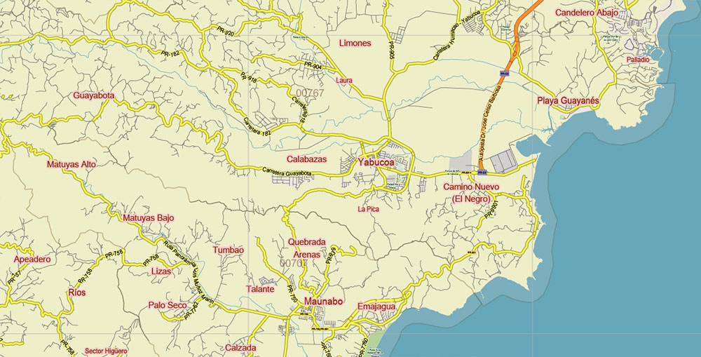
Puerto Rico Full State US CDR + PDF Vector Map: Full Extra High Detailed (all roads, zipcodes, airports) editable Adobe PDF + CDR CorelDraw in layers
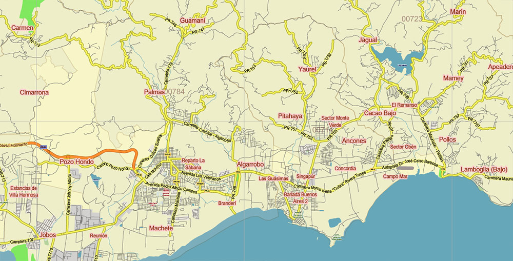
Puerto Rico Full State US CDR + PDF Vector Map: Full Extra High Detailed (all roads, zipcodes, airports) editable Adobe PDF + CDR CorelDraw in layers
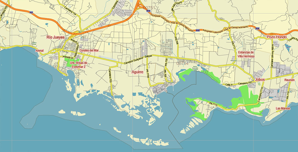
Puerto Rico Full State US CDR + PDF Vector Map: Full Extra High Detailed (all roads, zipcodes, airports) editable Adobe PDF + CDR CorelDraw in layers
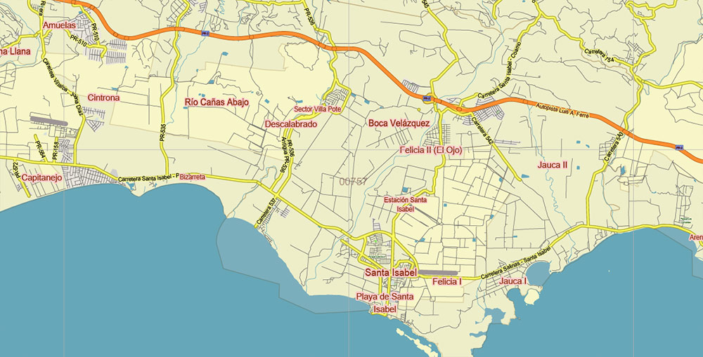
Puerto Rico Full State US CDR + PDF Vector Map: Full Extra High Detailed (all roads, zipcodes, airports) editable Adobe PDF + CDR CorelDraw in layers
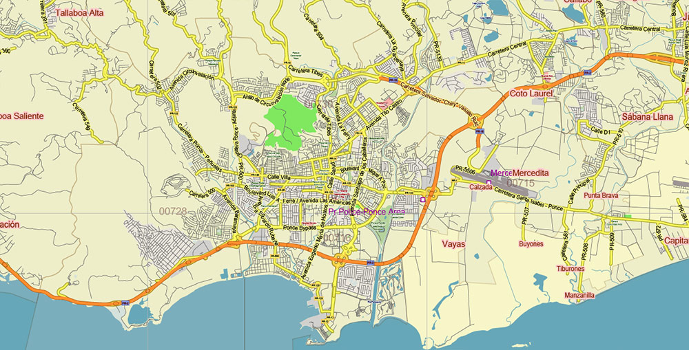
Puerto Rico Full State US CDR + PDF Vector Map: Full Extra High Detailed (all roads, zipcodes, airports) editable Adobe PDF + CDR CorelDraw in layers
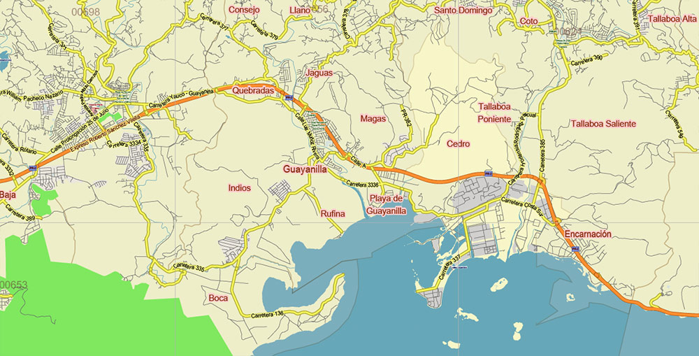
Puerto Rico Full State US CDR + PDF Vector Map: Full Extra High Detailed (all roads, zipcodes, airports) editable Adobe PDF + CDR CorelDraw in layers
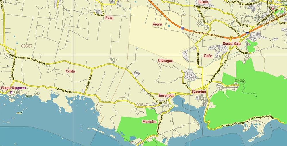
Puerto Rico Full State US CDR + PDF Vector Map: Full Extra High Detailed (all roads, zipcodes, airports) editable Adobe PDF + CDR CorelDraw in layers
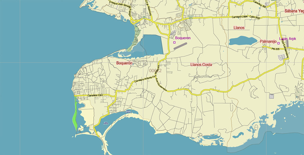
Puerto Rico Full State US CDR + PDF Vector Map: Full Extra High Detailed (all roads, zipcodes, airports) editable Adobe PDF + CDR CorelDraw in layers
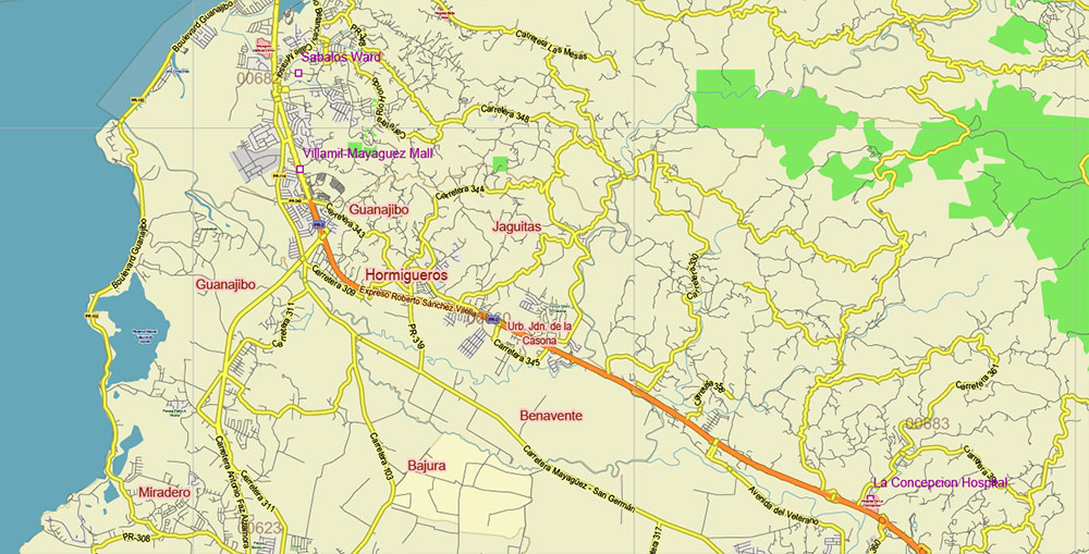
Puerto Rico Full State US CDR + PDF Vector Map: Full Extra High Detailed (all roads, zipcodes, airports) editable Adobe PDF + CDR CorelDraw in layers
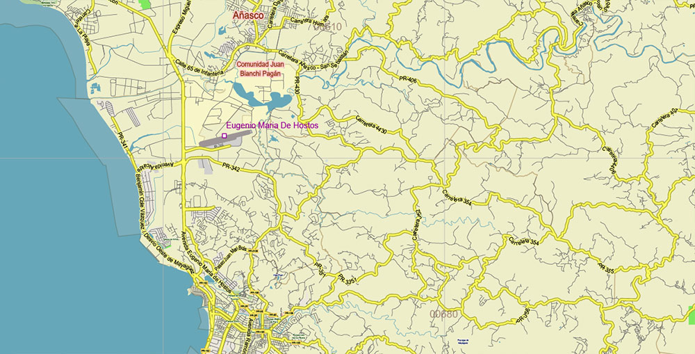
Puerto Rico Full State US CDR + PDF Vector Map: Full Extra High Detailed (all roads, zipcodes, airports) editable Adobe PDF + CDR CorelDraw in layers
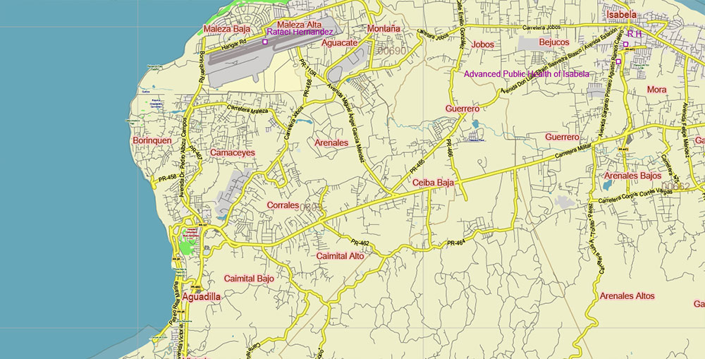
Puerto Rico Full State US CDR + PDF Vector Map: Full Extra High Detailed (all roads, zipcodes, airports) editable Adobe PDF + CDR CorelDraw in layers
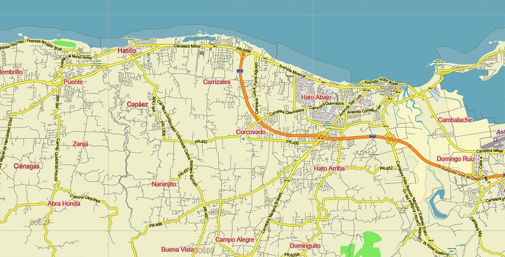
Puerto Rico Full State US CDR + PDF Vector Map: Full Extra High Detailed (all roads, zipcodes, airports) editable Adobe PDF + CDR CorelDraw in layers
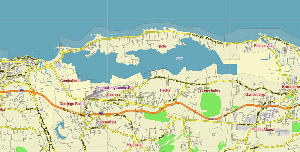
Puerto Rico Full State US CDR + PDF Vector Map: Full Extra High Detailed (all roads, zipcodes, airports) editable Adobe PDF + CDR CorelDraw in layers
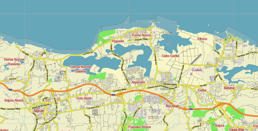
Puerto Rico Full State US CDR + PDF Vector Map: Full Extra High Detailed (all roads, zipcodes, airports) editable Adobe PDF + CDR CorelDraw in layers
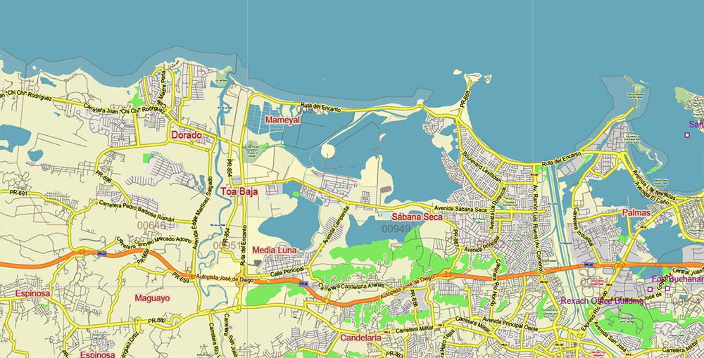
Puerto Rico Full State US CDR + PDF Vector Map: Full Extra High Detailed (all roads, zipcodes, airports) editable Adobe PDF + CDR CorelDraw in layers
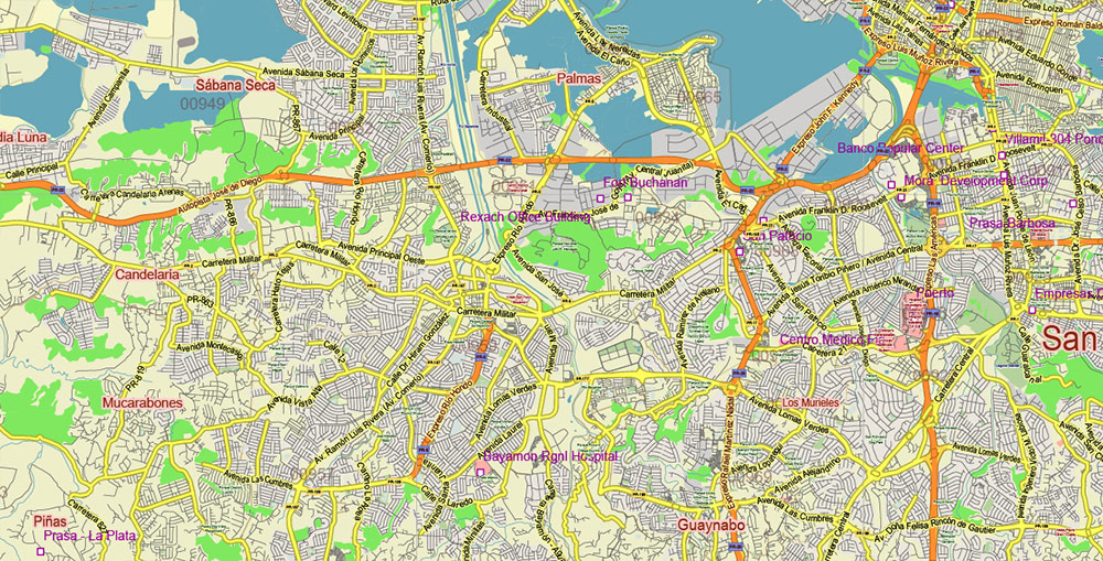
Puerto Rico Full State US CDR + PDF Vector Map: Full Extra High Detailed (all roads, zipcodes, airports) editable Adobe PDF + CDR CorelDraw in layers
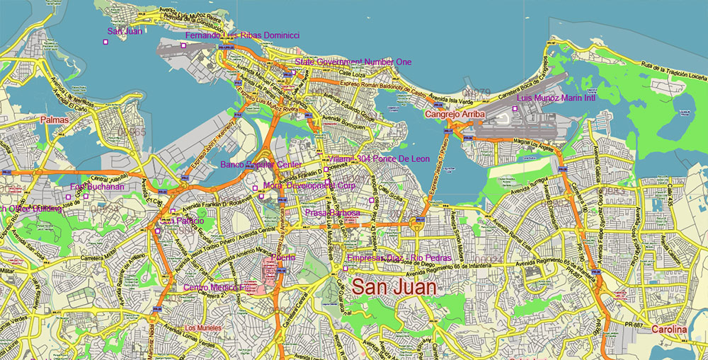
Puerto Rico Full State US CDR + PDF Vector Map: Full Extra High Detailed (all roads, zipcodes, airports) editable Adobe PDF + CDR CorelDraw in layers


 Author: Kirill Shrayber, Ph.D. FRGS