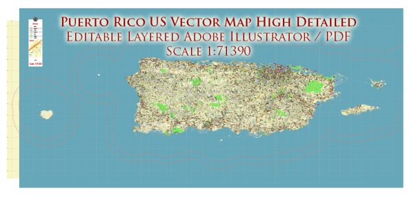
Puerto Rico is an archipelago located in the northeastern Caribbean, southeast of Florida. It consists of the main island of Puerto Rico and several smaller islands. Here are some key details about the principal cities, waterways, and main roads in Puerto Rico:
Principal Cities:
- San Juan:
- The capital and largest city of Puerto Rico.
- Home to historic sites, vibrant neighborhoods, and cultural attractions.
- Condado and Old San Juan are popular districts within the city.
- Bayamón:
- A major city in the San Juan metropolitan area.
- Known for shopping centers, parks, and entertainment facilities.
- Ponce:
- Located on the southern coast.
- Often referred to as the “Pearl of the South.”
- Rich in history, with colonial architecture and museums.
- Caguas:
- In the central part of the island.
- Known for its cultural events, festivals, and parks.
- Mayagüez:
- On the western side of Puerto Rico.
- Home to a prominent university and cultural institutions.
Waterways:
- Mona Passage:
- Separates Puerto Rico from the island of Hispaniola (Dominican Republic and Haiti).
- Atlantic Ocean and Caribbean Sea:
- Surround the island, providing Puerto Rico with beautiful beaches and a diverse marine environment.
- La Plata River:
- One of the major rivers in Puerto Rico, flowing through the central region.
- Loíza River:
- Located in the northern part of the island.
Main Roads and Highways:
- PR-1, PR-2, and PR-3:
- Major highways connecting San Juan to other parts of the island.
- PR-22 (Jose de Diego Expressway):
- Connects San Juan to the western part of the island, passing through Bayamón, Arecibo, and Aguadilla.
- PR-52 (Luis A. Ferré Expressway):
- Connects San Juan to the southern cities, including Ponce.
- PR-53:
- Connects Ponce to the eastern part of the island.
- PR-66 (Las Américas Expressway):
- Connects San Juan to the eastern cities, including Carolina and Fajardo.
- PR-1A and PR-165:
- Scenic routes that offer beautiful views of the island’s landscapes.
- PR-115:
- Connects Mayagüez to Arecibo, passing through various towns.
These are just a few examples, and Puerto Rico has an extensive network of roads connecting its cities and towns, providing access to its diverse landscapes and attractions.
Vectormap.Net provide you with the most accurate and up-to-date vector maps in Adobe Illustrator, PDF and other formats, designed for editing and printing. Please read the vector map descriptions carefully.


 Author: Kirill Shrayber, Ph.D.