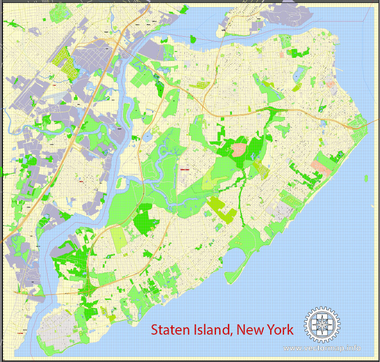
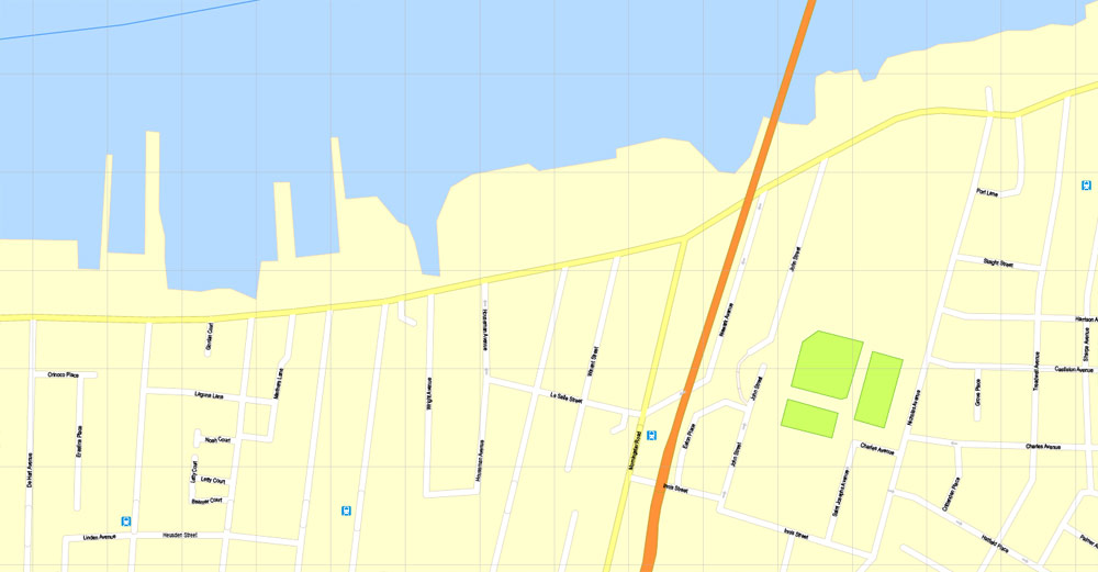
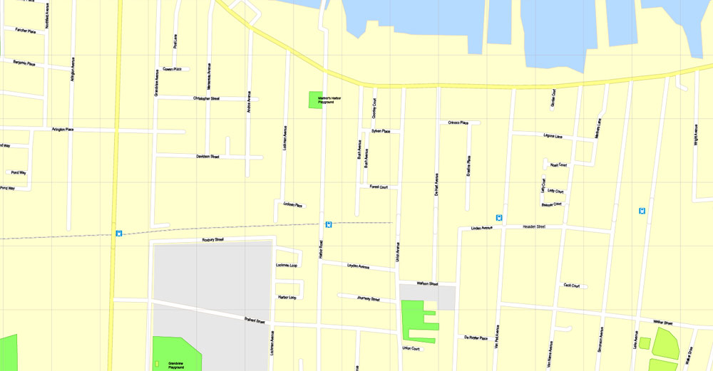
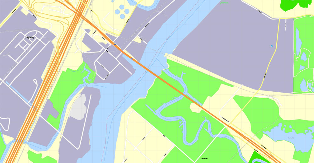
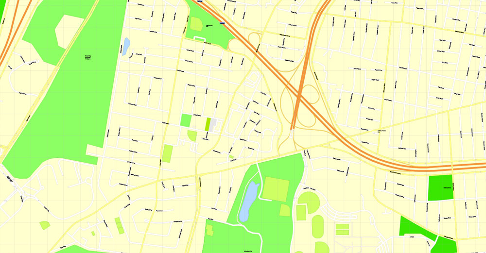
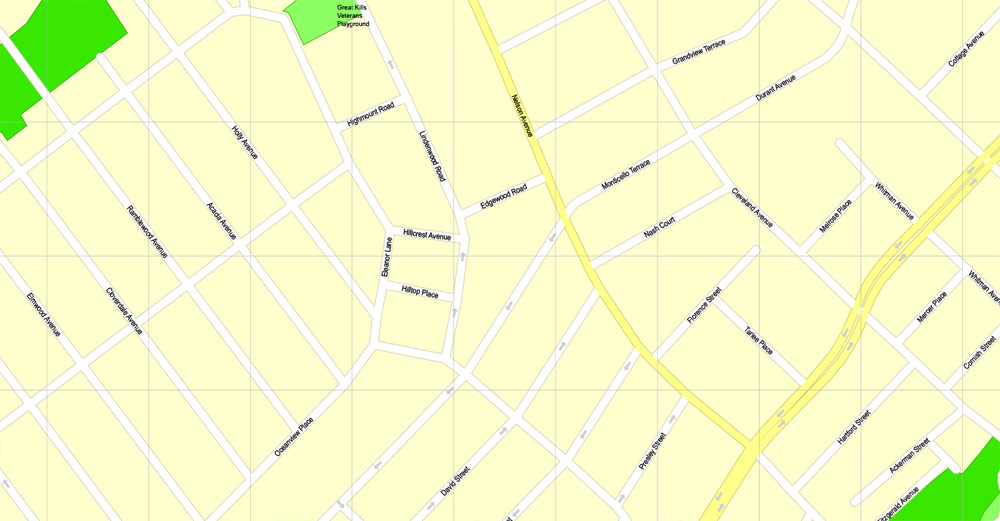
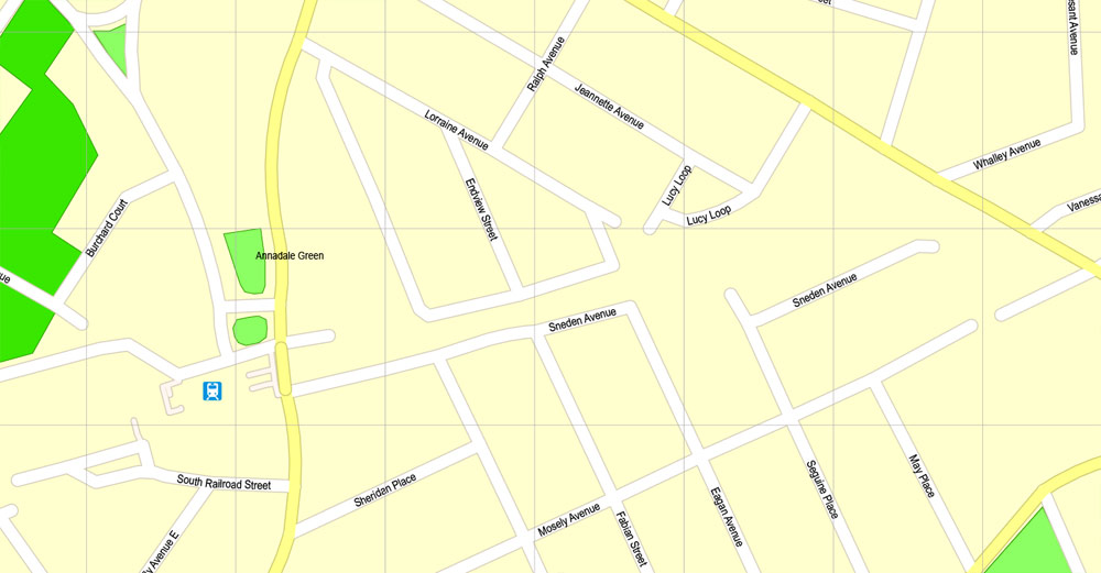
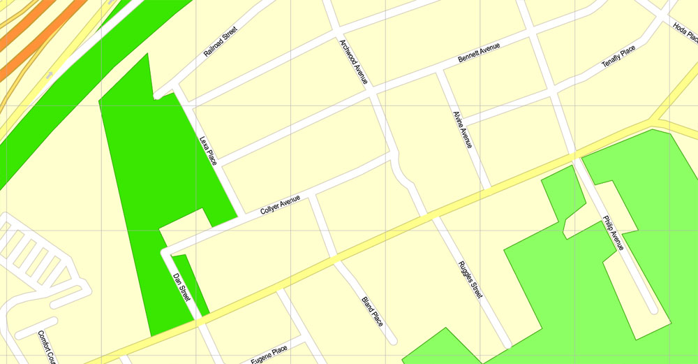
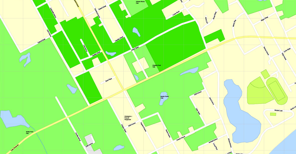
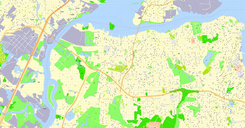
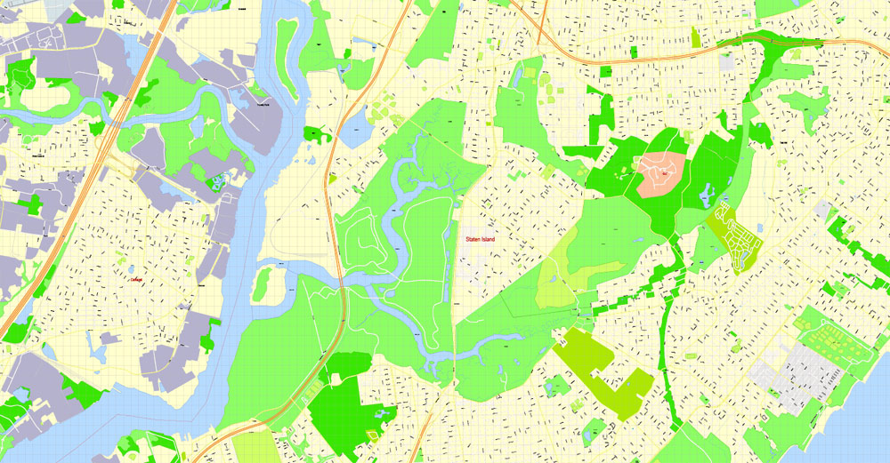
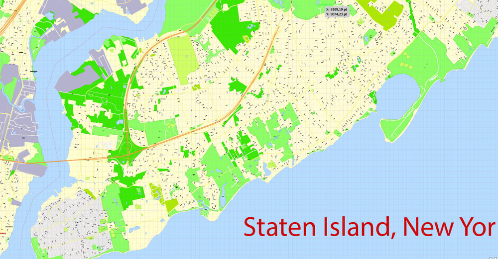
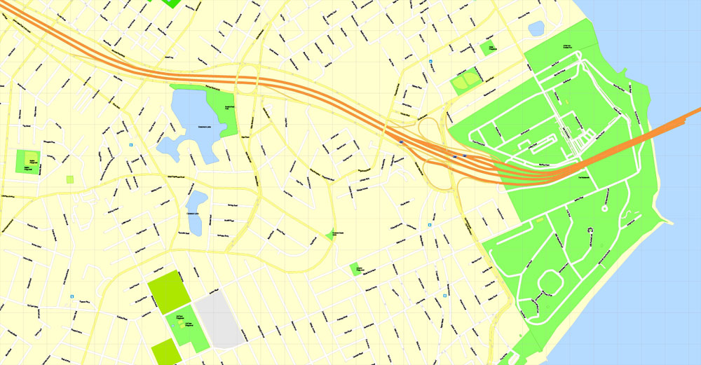
Printable Map Staten Island, New York, exact vector street G-View Level 17 (100 meters scale) map, V.08.12. fully editable, Adobe Illustrator, full vector, scalable, editable text format of street names, 3 Mb ZIP.
All streets named, main objects, no buildings. Map for publishing, design, printing, publications, arts, projects, presentations, for architects, designers and builders, business, logistics. The most exact and detailed map of the city.
Separated layers: streets and roads, color fills, road labels, names 1,2,3, street arrows, objects, scales.
DWG, DXF, CDR, ESRI Shapes, and other formats – by request, same price, please contact.
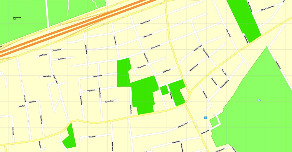
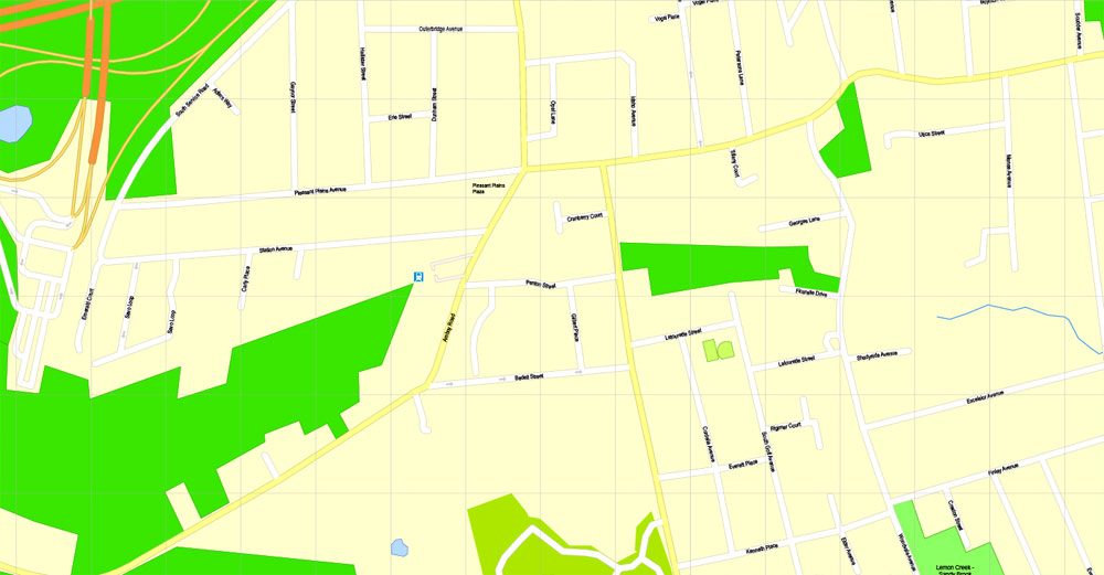
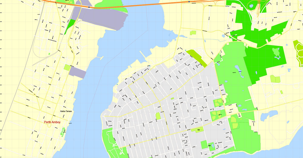
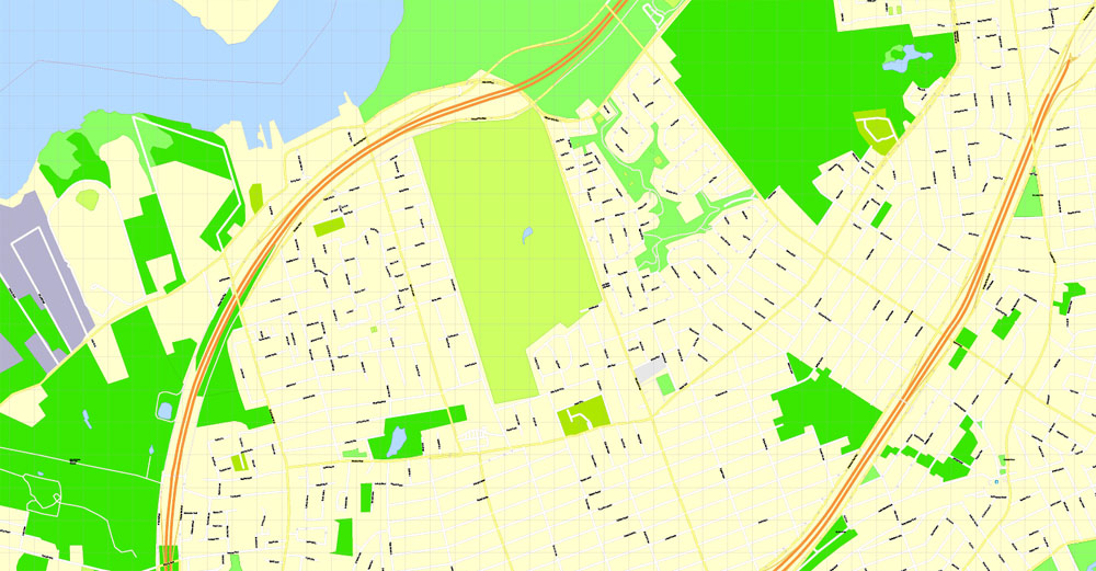
Staten Island, New York, USA.
This vector map of Staten Island is used as a basis for design, editing, and further printing.
This is the most detailed, exact map of Staten Island for high-quality printing and polygraphy. You can always clarify the map development date by contacting us.
For your convenience, all objects on Staten Island vector map are divided into layers. And the editing is very easy – colors, lines, etc.
You can easily add any objects needed (e.g. shops, salons, sale points, gas station or attraction) on any layer of Staten Island vector map.
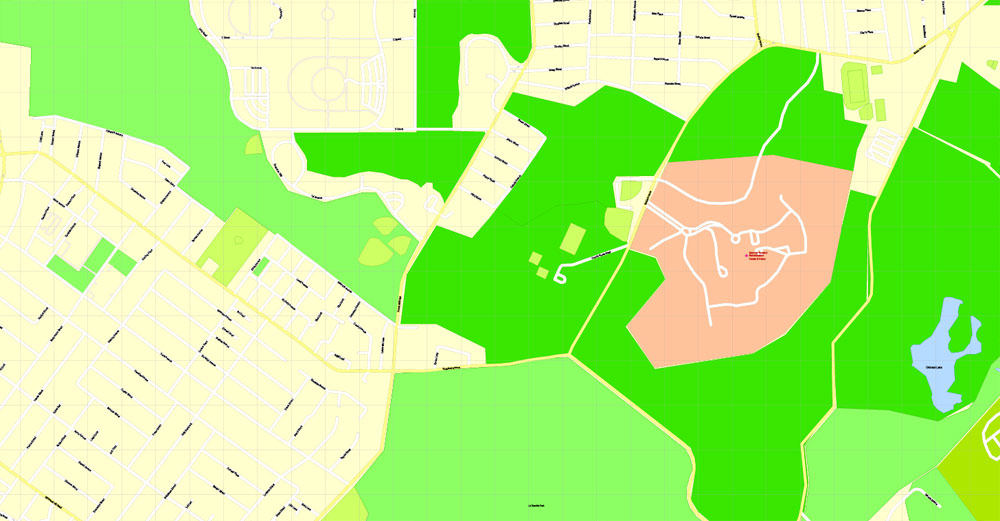
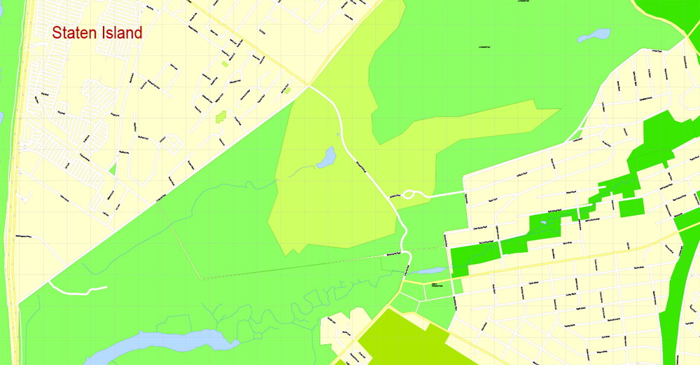
Staten Island is the southernmost and westernmost of the five boroughs of New York City in the U.S. state of New York. Located in the southwest portion of the city, Staten Island is the southernmost part of both the city and state of New York, with Conference House Park located at the southern tip of the island. The borough is separated from New Jersey by the Arthur Kill and the Kill Van Kull, and from the rest of New York by New York Bay. With a 2017 Census–estimated population of 479,458 Staten Island is the least populated of the boroughs but is the third-largest in land area at 58.5 sq mi (152 km2). The borough is coextensive with Richmond County and until 1975 was referred to as the Borough of Richmond. Its flag was later changed to reflect this. Staten Island has sometimes been called “the forgotten borough” by inhabitants who feel neglected by the city government.
One of the advantages of Staten Island vector maps of our production is the relevance of cartographic data, we constantly update all our products.
This vector map of Staten Island is used by:
designers, layout designers, printers, advertisers and architects. Our product – vector maps – is designed for further editing and printing in large formats – from @Wall format (a few meters) to A-0 and A-1, A-2, A-3.
Staten Island map in vector format is used for design, urban planning, presentations and media visualizations.
Advertising and presentation map of Staten Island (usually the final designer marks the routes, and puts the client’s objects (shops, saloons, gas stations etc.)
The undoubted advantage is that people will NEVER throw out this advertising product – the map. In fact, as an advertising medium, a map is the most “long-playing” of the well-known polygraphic advertising media, with the longest lifespan, and the maximum number of interactions with the customer.
For travelers, maps are sold at the airports and gas stations around the world. Often the source is our vector maps.
Take a look, who purchases our vector maps of Staten Island in “Our Clients and Friends” page – these are large and small companies, from super-brands like Volvo and Starbucks, to small design studios and printing houses.
It’s very easy to work with vector maps of Staten Island, even for a not very experienced designer who can turn on and off the map layers, add new objects, change the colors of fill and lines according to customer requirements.
The undoubted advantage of Staten Island vector maps in printing is an excellent and detailed visualization, when customer can expand a large paper map and instantly define his location, find a landmark, an object or address on map, unlike using the popular electronic formats of Google and Yandex maps for example.
Printable vector maps of Staten Island are much more convenient and efficient than any electronic maps on your smartphone, because ALL DETAILS are displayed in the entire space of Staten Island map.
Useful tips on working with vector maps of cities and countries in Adobe Illustrator.
«V» – launches the Selection tool (cursor, black arrow), which makes active any vector line.
«А» – launches the Direct Selection tool (white cursor), allows you to select curve elements and drag them to the desired place.
«R» – activates the Rotate tool, which helps you rotating selected objects around the center point by 360 degrees.
«E» – gives you the opportunity to use the Eraser tool and erase unnecessary parts.
«X» – switches between Fill and Stroke in the Tools section. Try to get used to this hot key and
you will quickly understand that you can’t live and work without it.
Guides are not limited to vertical and horizontal in Adobe Illustrator. You can also create a diagonal guide for example. Moreover, you can turn any contours into guides. Select the outline and go to View > Guides > Make Guides (Create Guides), or simply press Cmd/Ctrl + 5. You can also turn the guides back into an editable object. Go to menu, View > Guides > Unlock Guides (Release Guides), select the guide you want to edit and select View > Guides > Release Guides (Reset Guides), or just press Cmd/Ctrl + Option / Alt + 5).
You will probably want to change the color scheme used on our Staten Island vector map.
To quickly and effectively play with colors.
Of course, you can do it manually, all objects in our Staten Island vector map are divided according to types and layers, and you can easily change the color gamma of vector objects in groups and layers.
But there is more effective way of working with the whole VECTOR MAP of Staten Island and all layers:
The overview dialog «Edit colors»/«Repaint Graphic Object» (this dialog box name can change depending on the context):
If you have selected a part or a layer of Staten Island vector map and open the dialog box by clicking the icon in the Control panel, on the Samples palette or the Color Catalog, or if you choose Edit > Edit Colors> Repaint Graphic Object, then the «Repaint Graphic Object» dialog box appears, and you get access to «Assign» and «Edit» tabs.
If a picture or a map fragment is not selected, and you open the dialog box by clicking the icon in the Control panel, on the Samples palette or in the Color Catalog, the «Edit Colors» dialog box appears and you can only access the «Edit» tab.
Regardless of the name at the top of the dialog box, the right-hand side always displays the color group of the current document, as well as two default color groups: Print Color and Grayscale. These color groups can be selected and used any time.
Create and edit color groups of Staten Island vector map, and also assign colors using the «Edit Colors»/ а «Repaint Graphic Object» dialog box.
A. Creating and editing of a color group on the «Edit» tab
B. Assigning colors on the «Assign» tab
C. Select a group of colors from the «Color groups» list
The option «Repaint a graphic object» in the lower part of the dialog box allows you to preview the colors on a selected layer of Vector map, or a group of elements, and specify whether its colors will be redefined when the dialog box is closed.
The main areas of the dialog box are:
«Edit»
The «Edit» tab is designed to create a new or edit the existing color groups.
The harmony rules Menu and the Color Wheel are used to conduct experiments with color harmonies. The color wheel shows how colors are related in color harmony, and the color bars allow you to view and manipulate an individual color values. In addition, you can adjust the brightness, add and remove colors, save color groups and view colors on the selected Vector Map of Staten Island or a separated layers.
«Assign»
The «Assign» tab is used to view and control on how the original colors are replaced with colors from the color group like your corporate colors in the Vector Map of Staten Island.
The assign color ability is provided only if the entire map, layer or fragment is selected in the document. You can specify which of new colors replace the current colors, whether the spot colors should be preserved and how colors are replaced (for example, you can replace colors completely or changing the color tone while maintaining the brightness). The «Assign» tab allows you to redefine colors in the Vector Map of Staten Island, or in separate layers and fragments using the current color group or reducing the number of colors in the current Vector Map.
Color groups
Is a list of all saved color groups for current document (the same groups appear in the «Samples» palette). You can edit and delete the existing color groups, as well as creating a new ones using the list of “Color Groups” in the dialog box. All changes appear in the «Samples» palette.
The highlighted color group shows, which color group is currently edited.
Any color group can be selected and edited, or used to redefine the colors in the selected vector map of Staten Island, its fragments or elements.
Saving a color group adds this group to the specified list.
Opening the «Edit Colors»/«Repaint Graphic Object» dialog box.
Open the «Edit Colors»/«Repaint Graphic Object» dialog box using one of the following methods:
«Edit»> «Edit Colors»> «Repaint Graphic object» or «Repaint With Style».
Use these commands if you need to edit the colors in the selected vector map of Staten Island.
«Repaint Graphic object» button on the «Control» panel.
Use this button if you need to adjust colors of Staten Island vector map using the а «Repaint graphic object» dialog box.
The specified button is available if the selected vector map or its fragment contains two or more colors.
Note. This color editing method is convenient for global color adjustment in a vector map, if global colors were not used when creating a Map of Staten Island.
The «Edit colors» button or «Edit or apply colors» on the «Color Catalog» palette
Click this button if you need to edit colors on the «Color Catalog» palette or edit and then apply them to the selected Vector Map of Staten Island or its fragment.
The «Edit color group» button or «Edit or apply color group» on the «Samples» palette.
Click this button if you need to edit the colors in the specific color group or edit and apply them to the selected Vector Map of Staten Island or a group of its elements, for example, the whole layer “Streets and lines”. You can also double-click the color group in the Samples panel to open the dialog box.
If the map file is too large and your computer freezes or even can’t open it quickly:
1. Try to reduce the color resolution of the video card (display) to 256 colors while working with a large map.
2. Using Windows Task Manager, select all the application you don’t need, while working with map, just turn them off.
3. Launch Adobe Illustrator. (DO NOT OPEN the vector map file)
4. Start the Windows Task Manager using administrator rights > Find the “Illustrator” process > set the «real time» priority,
5. Open the file. When you see the LEGACY FONT popup window – click “OK” (do not update). You can restore the TEXT later.
6. Can also be useful: When file is opened – Edit > Settings > Basic Settings > disable smoothing. /// It looks scary, but works quickly)))
We recommend saving the file in Adobe Illustrator 10 version. It’s much more stable when working with VERY BIG size files.
The North Shore—especially the neighborhoods of St. George, Tompkinsville, Clifton, and Stapleton—is the most urban part of the island; it contains the designated St. George Historic District and the St. Paul’s Avenue-Stapleton Heights Historic District, which feature large Victorian houses. The East Shore is home to the 2.5-mile (4 km) F.D.R. Boardwalk, the fourth-longest boardwalk in the world. The South Shore, site of the 17th-century Dutch and French Huguenot settlement, developed rapidly beginning in the 1960s and 1970s and is now mostly suburban in character. The West Shore is the least populated and most industrial part of the island.
Motor traffic can reach the borough from Brooklyn via the Verrazzano-Narrows Bridge and from New Jersey via the Outerbridge Crossing, Goethals Bridge, and Bayonne Bridge. Staten Island has Metropolitan Transportation Authority (MTA) bus lines and an MTA rapid transit line, the Staten Island Railway, which runs from the ferry terminal at St. George to Tottenville. Staten Island is the only borough that is not connected to the New York City Subway system. The free Staten Island Ferry connects the borough across New York Harbor to Manhattan and is a popular tourist attraction, providing views of the Statue of Liberty, Ellis Island, and Lower Manhattan.
Staten Island had the Fresh Kills Landfill, which was the world’s largest landfill before closing in 2001, although it was temporarily reopened that year to receive debris from the September 11 attacks. The landfill is being redeveloped as Freshkills Park, an area devoted to restoring habitat; the park will become New York City’s second largest public park when completed.
Geography
According to the U.S. Census Bureau, Richmond County has a total area of 102.5 square miles (265 km2), of which 58.5 square miles (152 km2) is land and 44.0 square miles (114 km2) (43%) is water. It is the third-smallest county in New York by land area and fourth-smallest by total area.
Although Staten Island is officially an administrative borough of New York City and its coterminous Richmond County is an administrative county of New York State, Staten Island is topographically and geologically a part of New Jersey. Staten Island is separated from Long Island by the Narrows and from mainland New Jersey by the Arthur Kill and the Kill Van Kull. Staten Island is positioned at the center of New York Bight, a sharp bend in the shoreline between New Jersey and Long Island. The region is considered vulnerable to sea-level rise. On October 29, 2012, the island experienced severe damage and loss of life along with the destruction of many homes during Hurricane Sandy.
In addition to the main island, the borough and county also include several small uninhabited islands:
The Isle of Meadows (at the mouth of Fresh Kills)
Prall’s Island (in the Arthur Kill)
Shooters Island (in Newark Bay; part of it belongs to New Jersey)
Swinburne Island (in Lower New York Bay)
Hoffman Island (in Lower New York Bay)
The highest point on the island, the summit of Todt Hill, elevation 410 ft (125 m), is also the highest point in the five boroughs, as well as the highest point on the Atlantic Coastal Plain south of Great Blue Hill in Massachusetts and the highest point on the coast proper south of Maine’s Camden Hills. Ward’s Point in the neighborhood of Tottenville is the southernmost point in the state of New York.
Staten Island is the only borough in New York City that does not share a land border with another borough (Marble Hill in Manhattan is contiguous with the Bronx). The borough has a land border with Elizabeth and Bayonne, New Jersey, on uninhabited Shooters Island.

Staten Island
New York City borough
Staten Island is one of the five boroughs of New York City, in the state of New York, in the United States.
Land area: 150 km²
Founded: 1661
Population: 472,621 (2013)
Area codes: Area codes 718, 347 and 929, Area code 917
Free vector maps:

Free download Vector Map US Interstate roads, Adobe PDF, V.2 Free_Map_US_Interstates_Roads_2.pdf
Free download Vector Map US Interstate roads, Adobe Illustrator, V.2 Free_Map_US_Interstates_Roads_2.ai

Free Download Vector Map US County and State Adobe Illustrator
Free_Vector_Map_US_States_County_Map.ai
Free Download Vector Map US County and State Adobe PDF
Free_Vector_Map_US_States_County_Map.pdf

Free Vector Map US Census Data Top US Ancestries by County Adobe Illustrator
Free_Vector_Map_US_Census-Data-Top-US-Ancestries-by-County.ai
Free Vector Map US Census Data Top US Ancestries by County Adobe PDF
Free_Vector_Map_US_Census-Data-Top-US-Ancestries-by-County.pdf
Free US Maps from WIKIPEDIA
Small guide: How to work with the vector map?
You can: Mass select objects by type and color – for example, the objects type “building” (they are usually dark gray) – and remove them from the map, if you do not need them in your print or design project. You can also easily change the thickness of lines (streets), just bulk selection the road by the line color.
The streets are separated by type, for example, type “residential road” are usually white with a gray stroke. Highway usually orange with a brown or dark gray stroke.
It is easy to change the font of inscriptions, all or each individually. Also, just can be make and any other manipulation of objects on the vector map in Adobe illustrator format.
Important: All the proportions on the map are true, that is, the relative sizes of the objects are true, because Map is based on an accurate GPS projection, and It transated into the (usual for all) the Mercator projection.
You can easily change the color, stroke and fill of any object on the map, zoom without loss of quality Image Verification.
Select object

Bulk selection the same objects on the vector map

See the bulk selected objects on the vector map

Bulk delete buildungs from the vector map

Select residencial road (small street) on the vector map

Bulk selection the same lines (streets, roads) on the full map

Create fat lines of the streets on the vector maps (bulk action) 1

Create fat lines of the streets on the vector maps (bulk action) 2

Create fat lines of the streets on the vector maps (bulk action) 3

You can easily change the color, stroke and fill of any object on the map, zoom without loss of quality Image Verification.

 Author: Kirill Shrayber, Ph.D. FRGS


