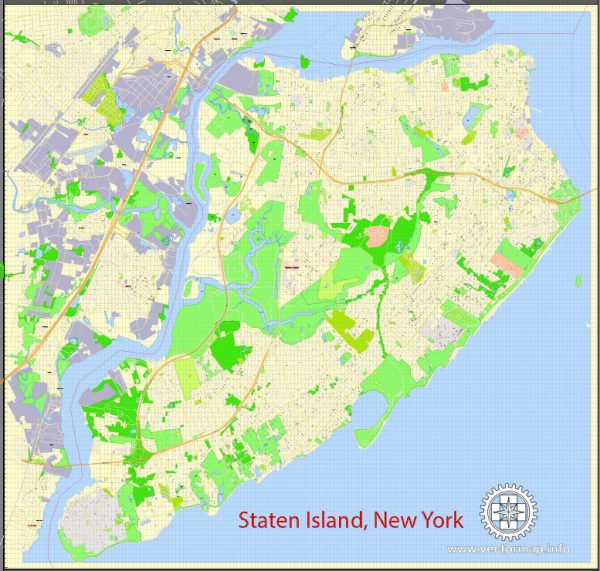
General statistics about Staten Island, New York City, based on information available up to my last knowledge update in September 2021. Keep in mind that the data might have changed since then, and for the most up-to-date information, you should refer to official government sources or recent studies.
- Population: As of my last update in 2023, Staten Island had a population of over 500,000 people, making it the least populous of the five boroughs of New York City.
- Area: Staten Island is the largest of New York City’s five boroughs in terms of land area. It covers approximately 58.5 square miles.
- Demographics: Staten Island is known for its diverse population, with a mix of ethnicities and cultures.
- Education: Staten Island is home to several educational institutions, including the College of Staten Island, which is part of the City University of New York (CUNY) system.
- Economy: The borough has a diverse economy, with industries such as healthcare, education, retail, and various small businesses contributing to its economic well-being.
- Transportation: Staten Island is connected to the rest of New York City by the Staten Island Ferry, which offers a scenic commute to and from Manhattan. The Verrazzano-Narrows Bridge connects Staten Island to Brooklyn, and the borough is also served by the Staten Island Railway and several bus routes.
- Parks and Green Spaces: Staten Island is known for its parks and natural areas, including the Staten Island Greenbelt, Silver Lake Park, and the Staten Island Botanical Garden.
- Attractions: Some notable attractions on Staten Island include the Snug Harbor Cultural Center and Botanical Garden, the Staten Island Zoo, Historic Richmond Town, and the Staten Island Children’s Museum.
For the most recent statistics, demographics, and information about Staten Island, I recommend visiting official sources such as the website of the New York City government or the U.S. Census Bureau.


 Author: Kirill Shrayber, Ph.D.