Extended Description of the Vector Map
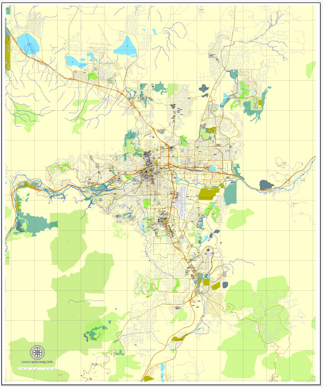
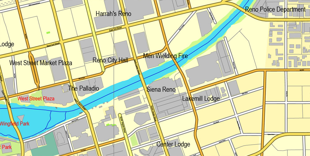
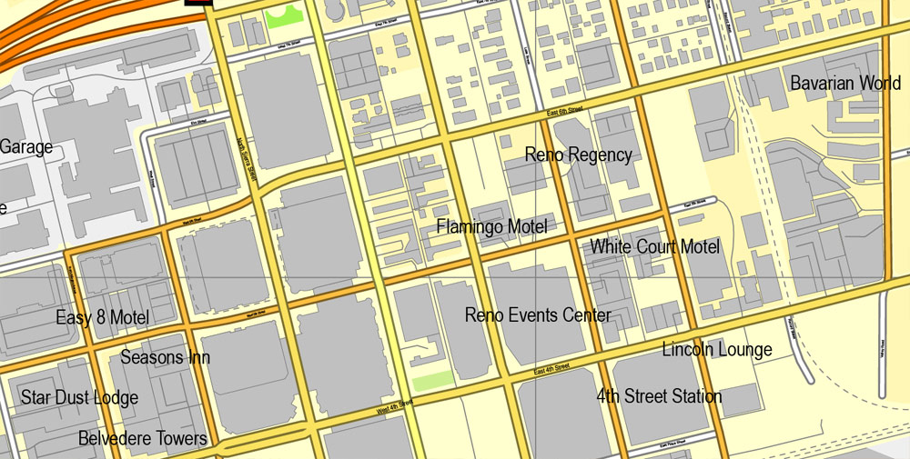
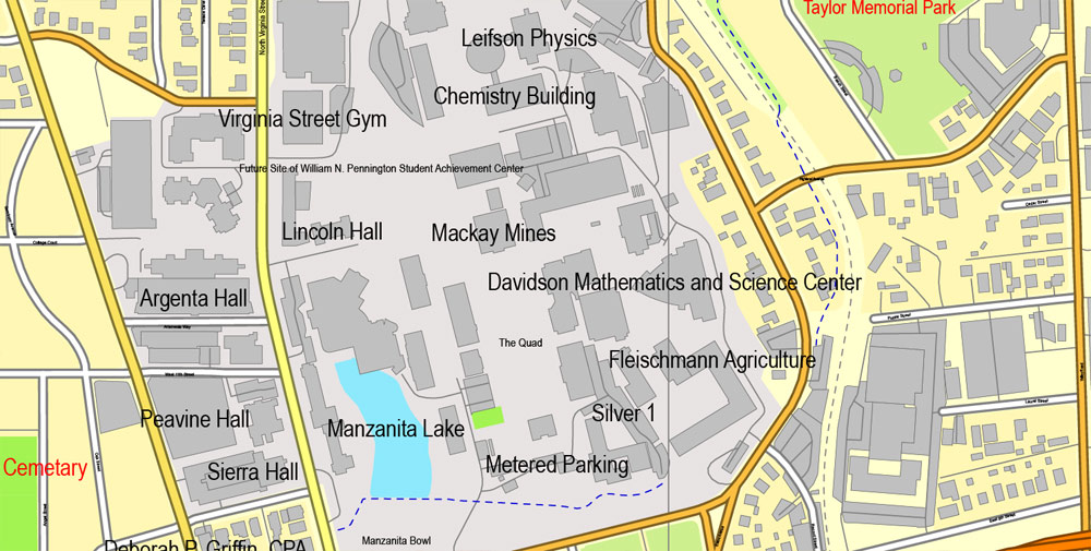
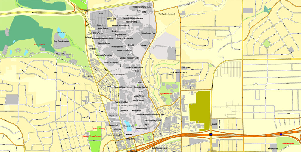
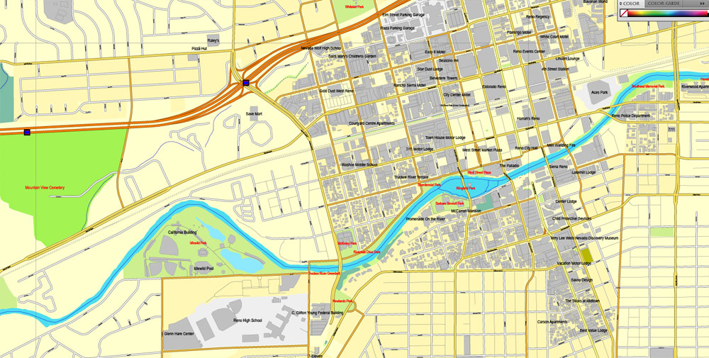
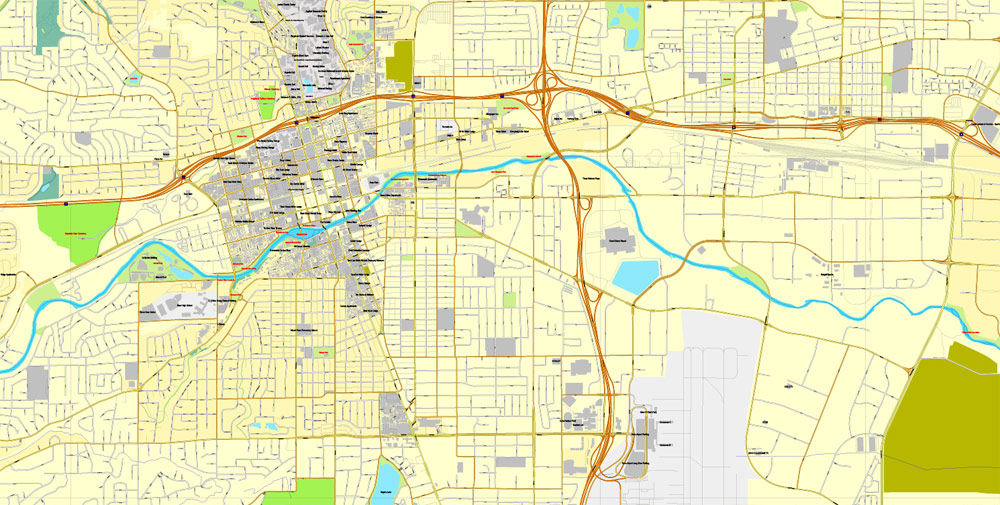
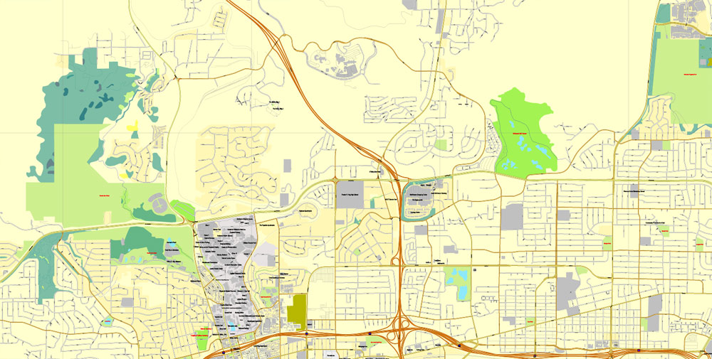
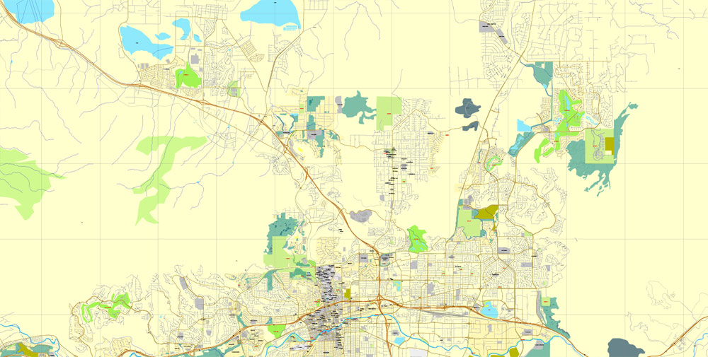
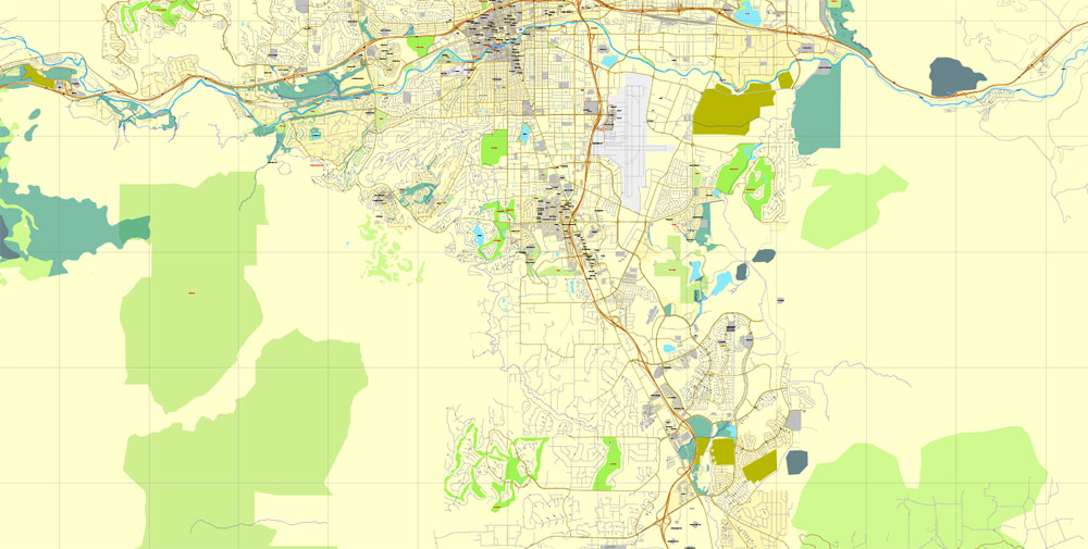
Reno, Nevada, US, exact vector street City Plan map V3.09, full editable, Adobe PDF, full vector, scalable, editable text format street names, 19 mb ZIP
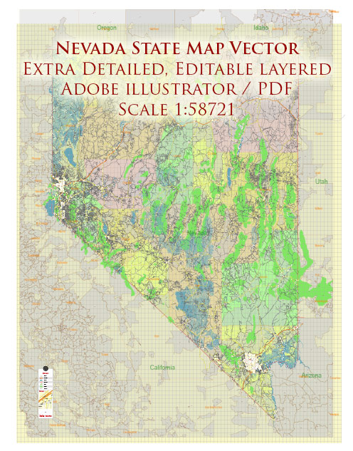
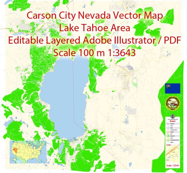
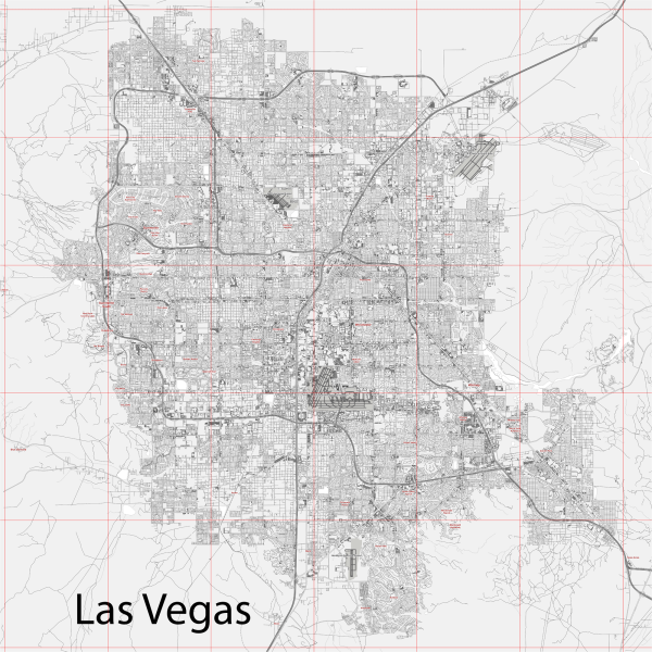
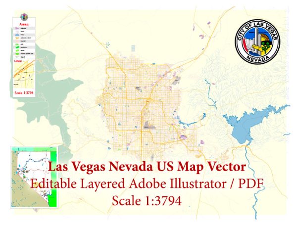
All streets, Principal buildings. Map for publishing, design, printing, publications, arts, projects, presentations, for architects, designers and builders, business, logistics. The most exact and detailed map of the city.
You can edit this file by Adobe Illustrator, Adobe Acrobat, Corel Draw.
DXF, DWG, CDR and other formats – on request, same price, please, contact
Reno is a city in the U.S. state of Nevada by the Sierra Nevadas and Lake Tahoe. Dubbed “The Biggest Little City in the World,” it’s known for its casinos and its proximity to many ski resorts. Downtown’s National Automobile Museum showcases more than 200 vintage cars. The MidTown District is lined with shops and restaurants. North of downtown, Animal Ark is a sanctuary for rescued bears, cheetahs and other wildlife.
Population: 233,294 (2013)
Free vector maps:
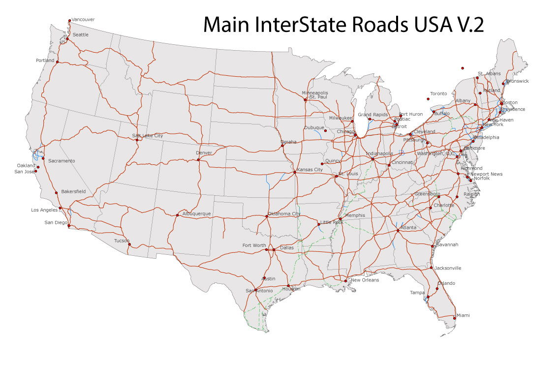
Free download Vector Map US Interstate roads, Adobe PDF, V.2 Free_Map_US_Interstates_Roads_2.pdf
Free download Vector Map US Interstate roads, Adobe Illustrator, V.2 Free_Map_US_Interstates_Roads_2.ai
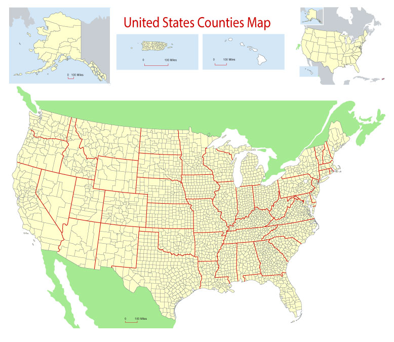
Free Download Vector Map US County and State Adobe Illustrator
Free_Vector_Map_US_States_County_Map.ai
Free Download Vector Map US County and State Adobe PDF
Free_Vector_Map_US_States_County_Map.pdf
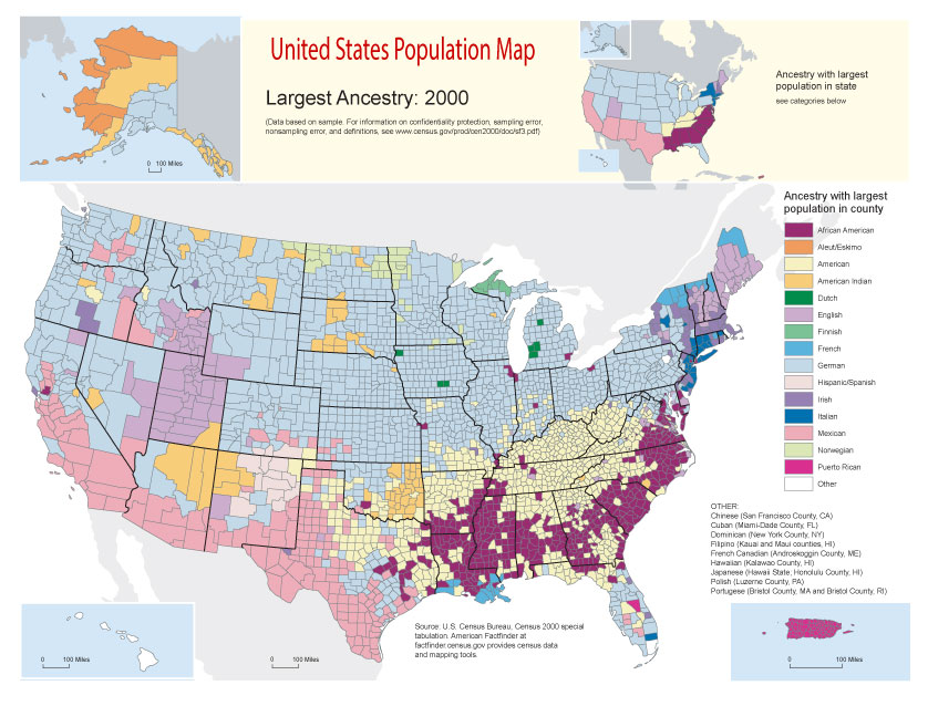
Free Vector Map US Census Data Top US Ancestries by County Adobe Illustrator
Free_Vector_Map_US_Census-Data-Top-US-Ancestries-by-County.ai
Free Vector Map US Census Data Top US Ancestries by County Adobe PDF
Free_Vector_Map_US_Census-Data-Top-US-Ancestries-by-County.pdf



 Author: Kirill Shrayber, Ph.D. FRGS