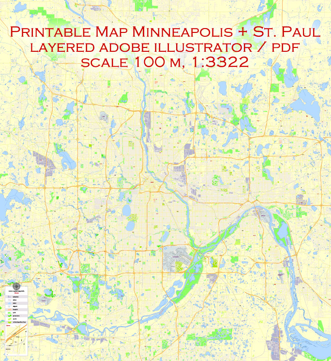
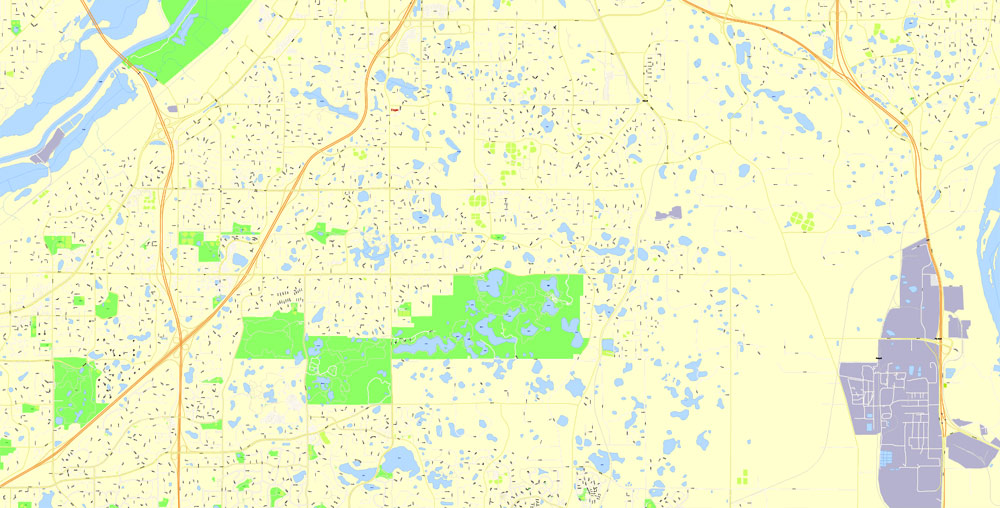
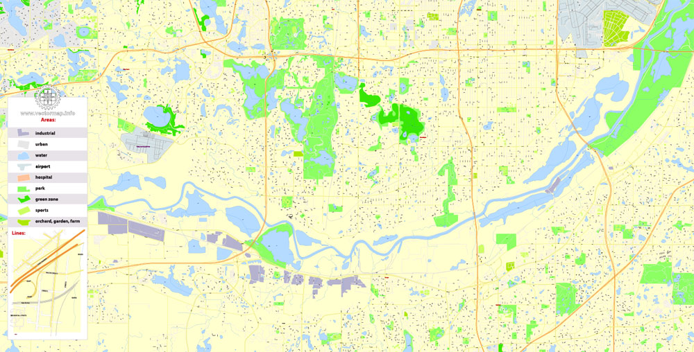
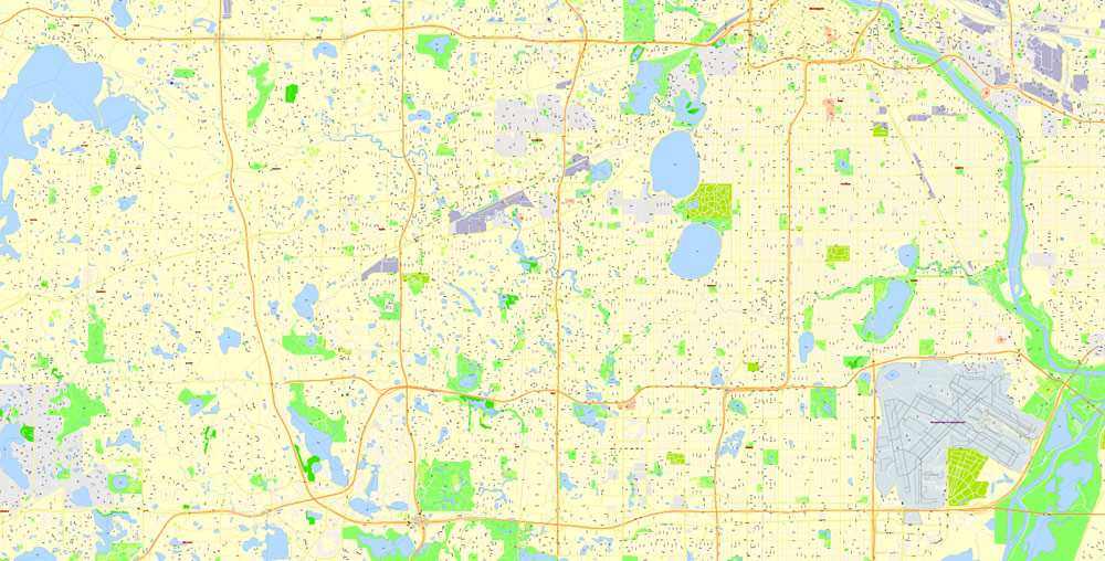
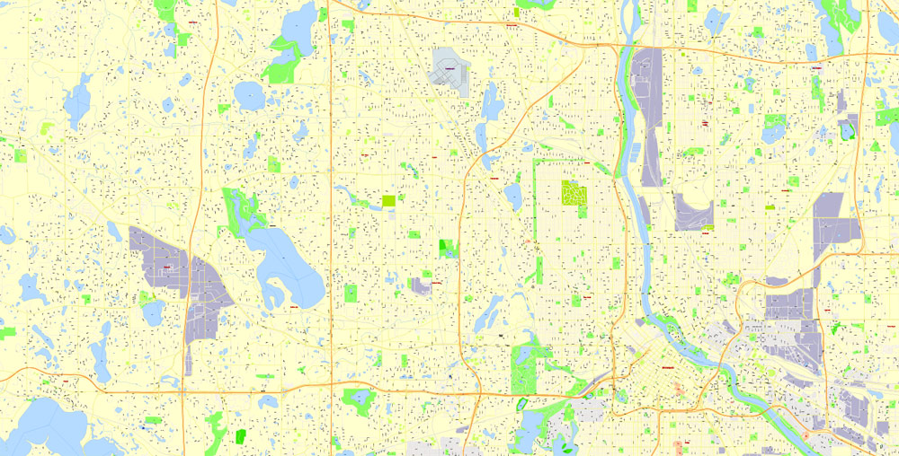
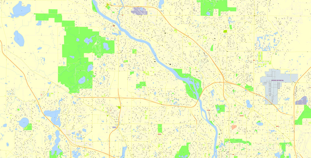
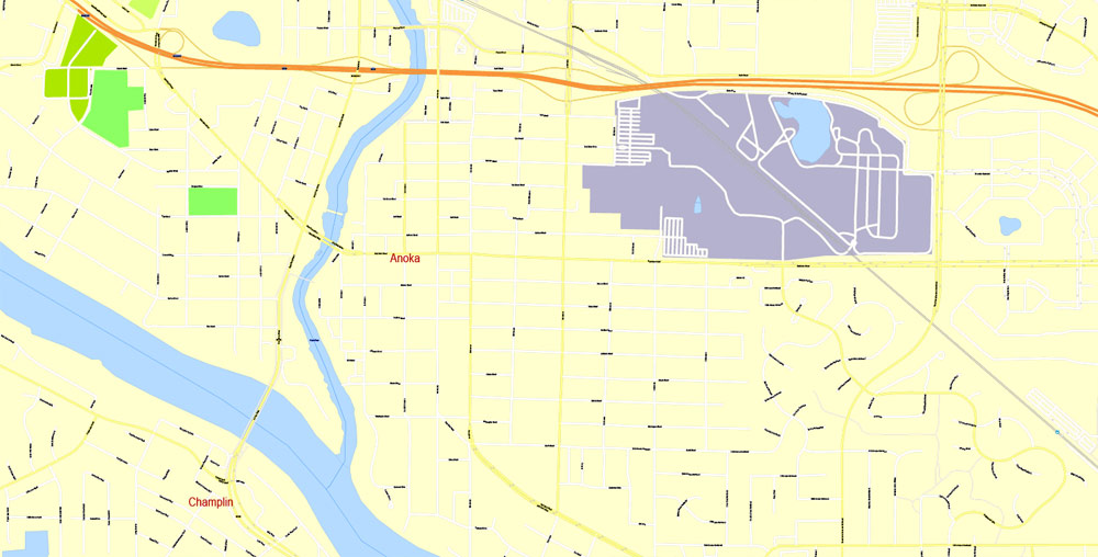
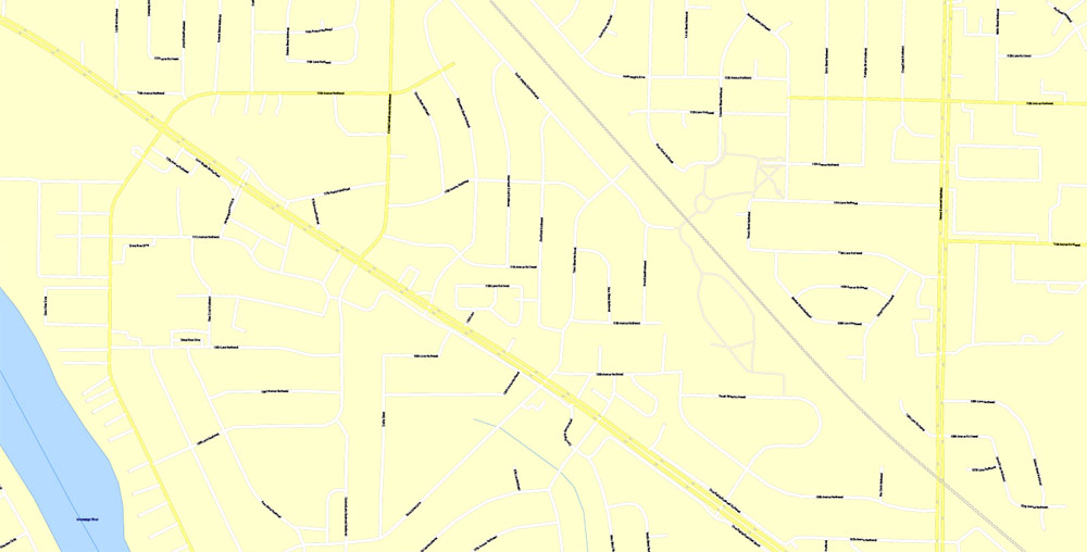
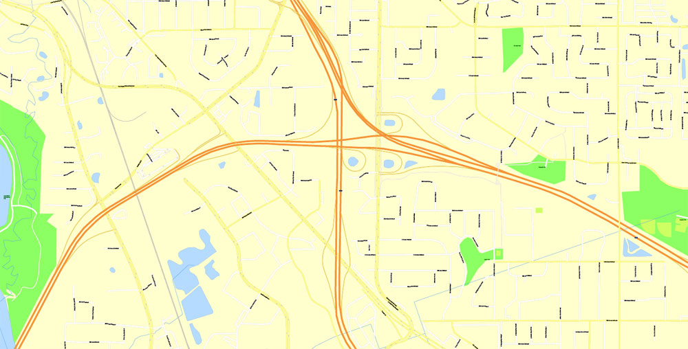
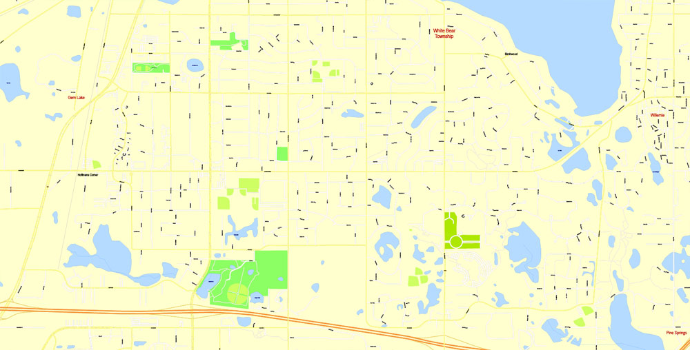
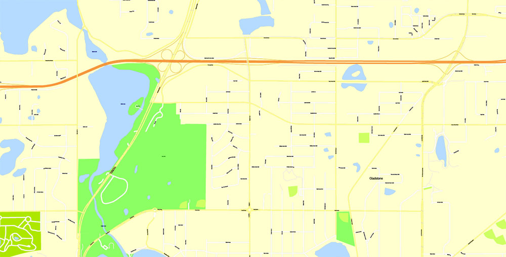
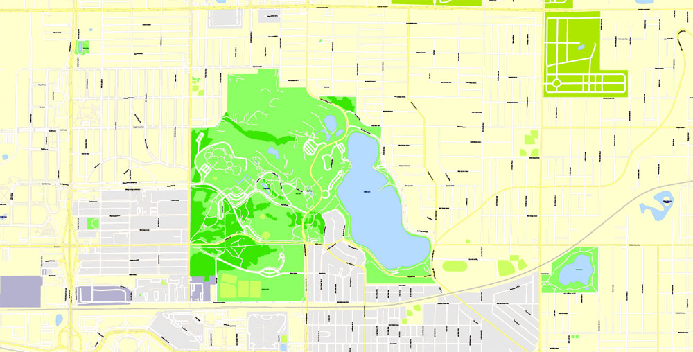
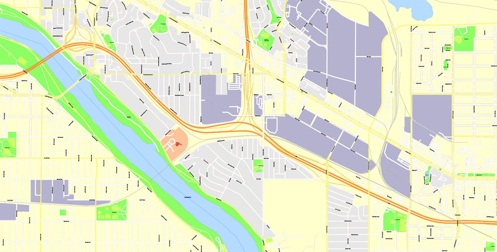
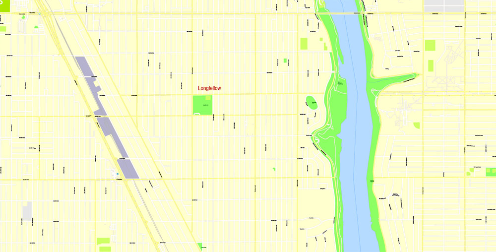
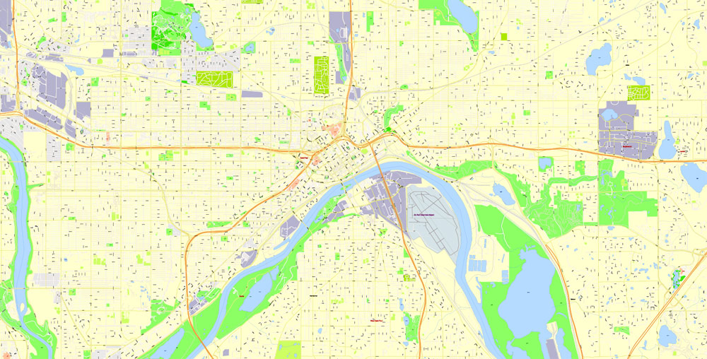
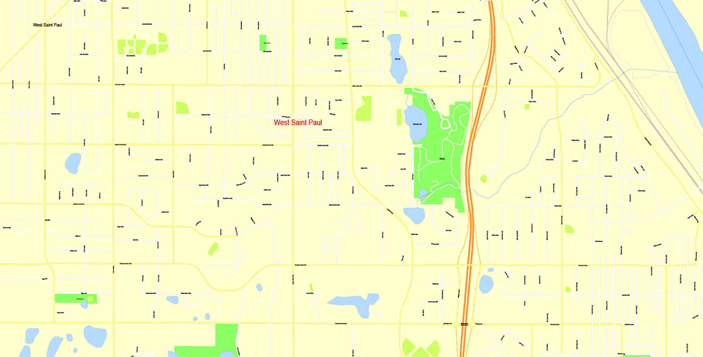
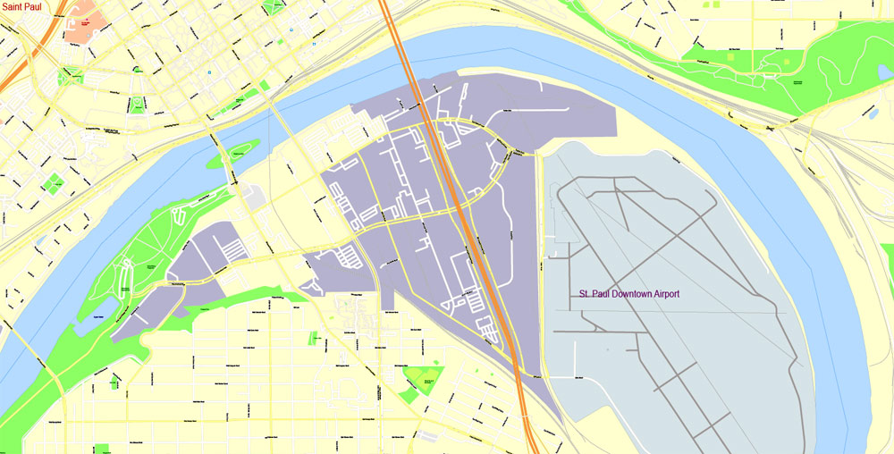
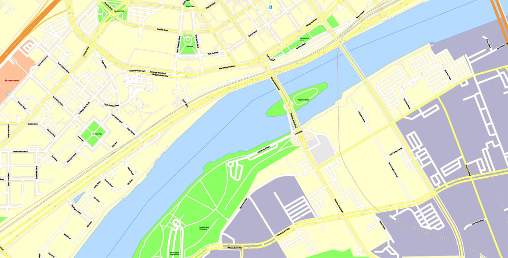
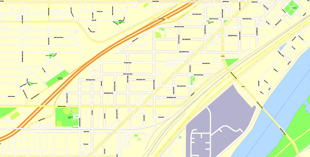
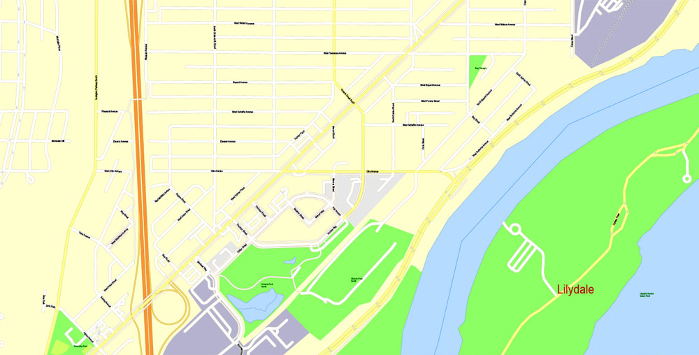
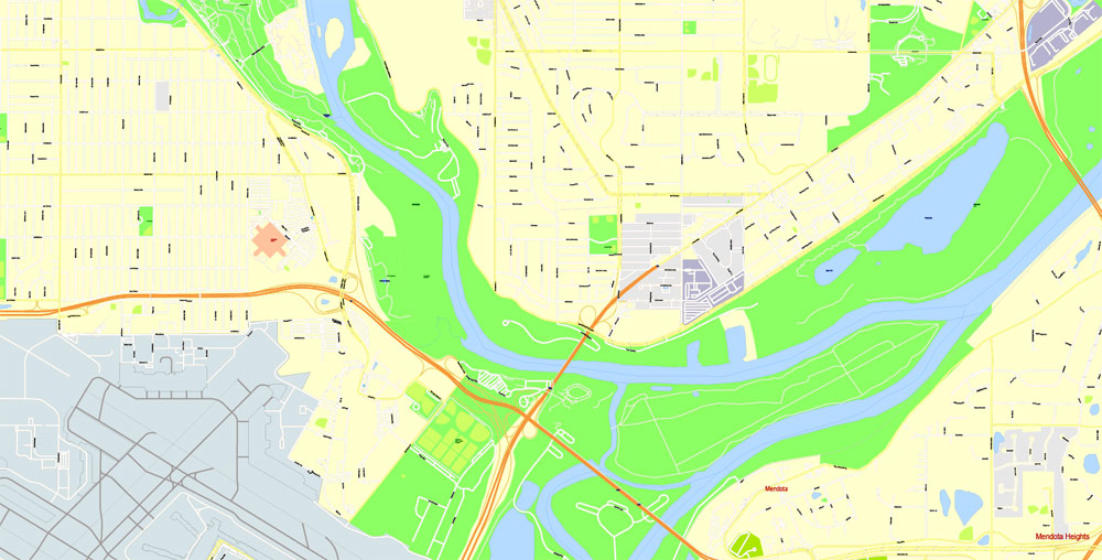
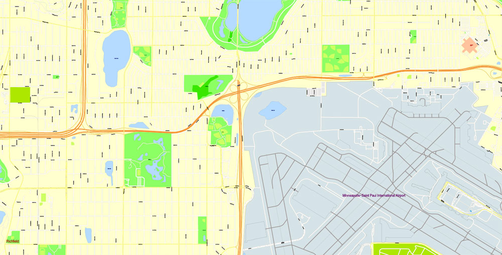
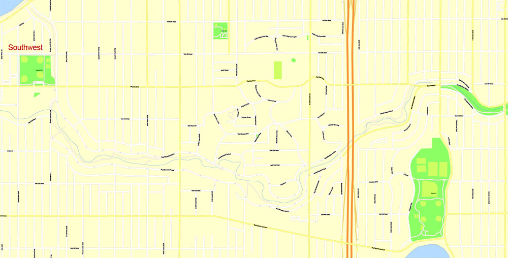
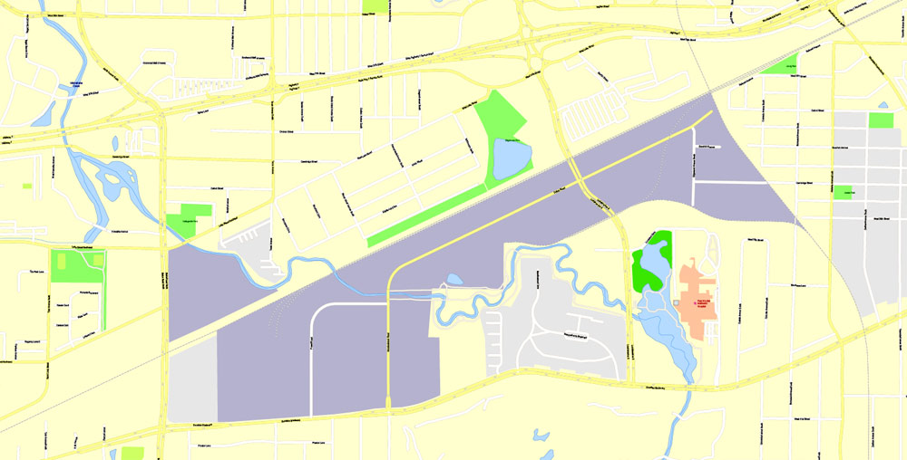
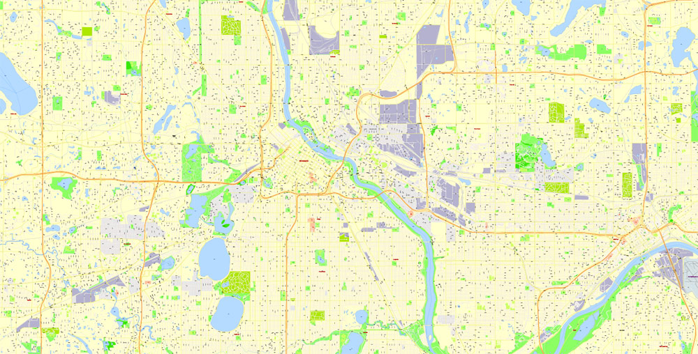
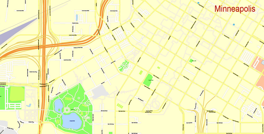
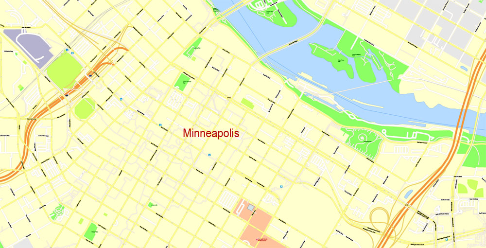
PDF Editable Map Minneapolis + Saint Paul, Minnesota US, exact vector Map street G-View City Plan Level 17 (100 meters scale) full editable, Adobe PDF, full vector, scalable, editable text format street names, 26 mb ZIP
All streets named, Main Objects, NO buildings. Map for design, printing, arts, projects, presentations, for architects, designers and builders, business, logistics.
Layers: color fills, streets_roads, arrows_streets, labels_roads, objects, names_objects, names_streets, names_places, grids, legend.
The most exact and detailed map of the city.
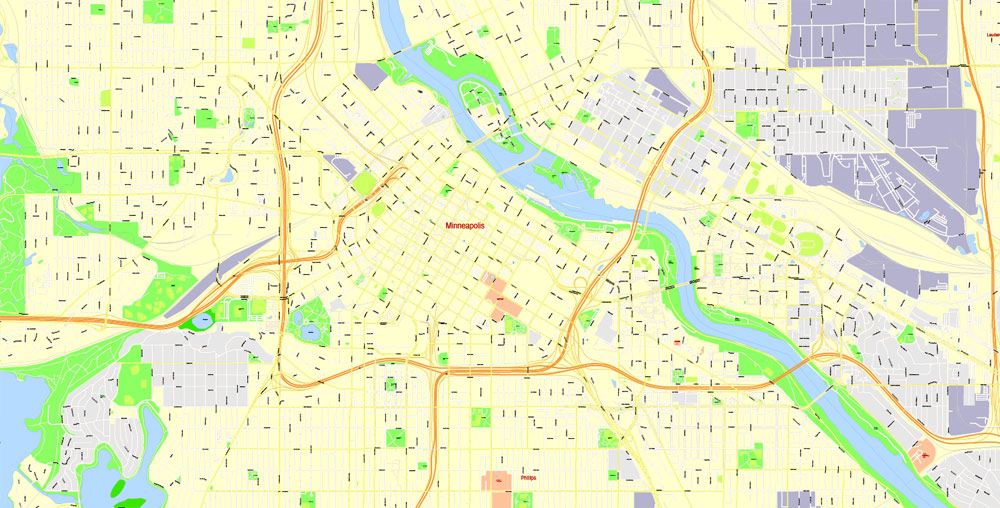
For print LARGE (WALL) format.
You can edit this file by Adobe Illustrator, Adobe Acrobat, Corel Draw.
DWG, DXF, CDR and other formats – on request, same price, please, contact
Minneapolis + Saint Paul, Minnesota, USA.
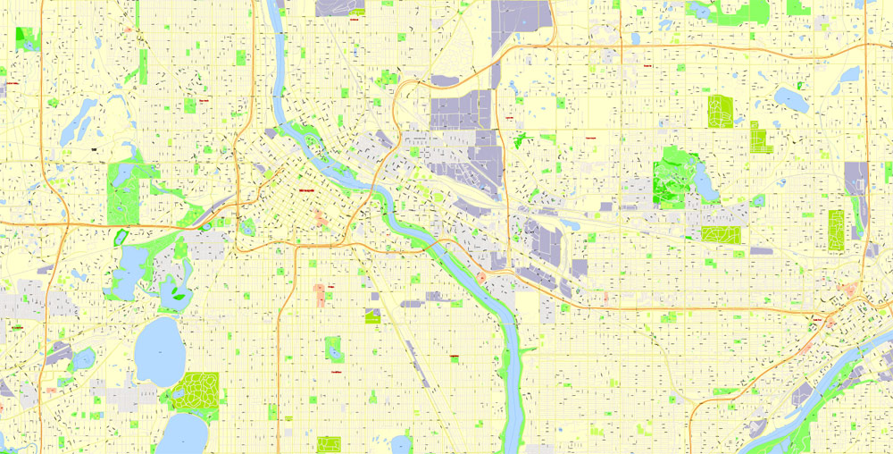
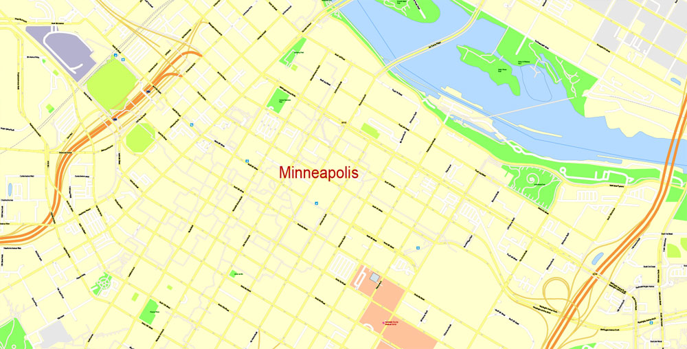
This vector map of Minneapolis city is used as a basis for design, editing, and further printing.
This is the most detailed, exact map of Minneapolis city for high-quality printing and polygraphy. You can always clarify the map development date by contacting us.
For your convenience, all objects on Minneapolis vector city map are divided into layers. And the editing is very easy – colors, lines, etc.
You can easily add any objects needed (e.g. shops, salons, sale points, gas station or attraction) on any layer of Minneapolis vector map.
Minneapolis is the county seat of Hennepin County and the larger of the Twin Cities, the 16th-largest metropolitan area in the United States. As of 2017, Minneapolis is the largest city in the state of Minnesota and 45th-largest in the United States, with an estimated population of 422,331. The Twin Cities metropolitan area consists of Minneapolis, its neighbor Saint Paul, and suburbs which altogether contain about 3.6 million people, and is the third-largest economic center in the Midwest.
One of the advantages of Minneapolis city vector maps of our production is the relevance of cartographic data, we constantly update all our products.
This vector map of Minneapolis city is used by:
designers, layout designers, printers, advertisers and architects. Our product – vector maps – is designed for further editing and printing in large formats – from @Wall format (a few meters) to A-0 and A-1, A-2, A-3.
The Minneapolis city map in vector format is used for design, urban planning, presentations and media visualizations.
The advertising and presentation map of Minneapolis city (usually the final designer marks the routes, and puts the client’s objects (shops, saloons, gas stations etc.)
The undoubted advantage is that people will NEVER throw out this advertising product – the map. In fact, as an advertising medium, a city map is the most “long-playing” of the well-known polygraphic advertising media, with the longest lifespan, and the maximum number of interactions with the customer.
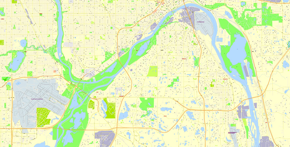
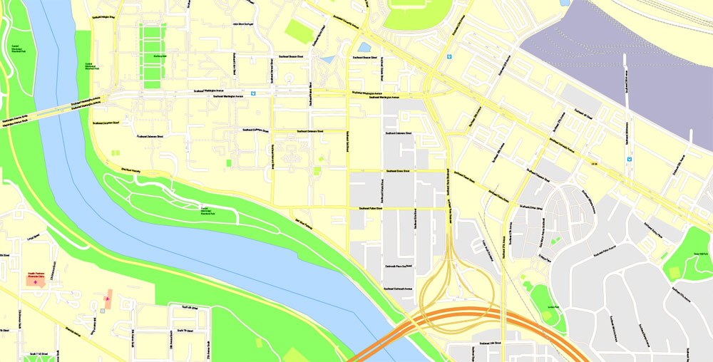
Minneapolis lies on both banks of the Mississippi River, just north of the river’s confluence with the Minnesota River, and adjoins Saint Paul, the state’s capital. The city is abundantly rich in water, with 13 lakes, wetlands, the Mississippi River, creeks and waterfalls; many connected by parkways in the Chain of Lakes and the Grand Rounds National Scenic Byway. It was once the world’s flour milling capital and a hub for timber. The city and surrounding region is the primary business center between Chicago and Seattle. In 2011, Minneapolis proper was home to the fifth-highest number of Fortune 500 headquarters in the United States. As an integral link to the global economy, Minneapolis is categorized as a global city.
For travelers, maps are sold at the airports and gas stations around the world. Often the source is our vector maps.
Take a look, who purchases our vector maps of Minneapolis city in “Our Clients and Friends” page – these are large and small companies, from super-brands like Volvo and Starbucks, to small design studios and printing houses.
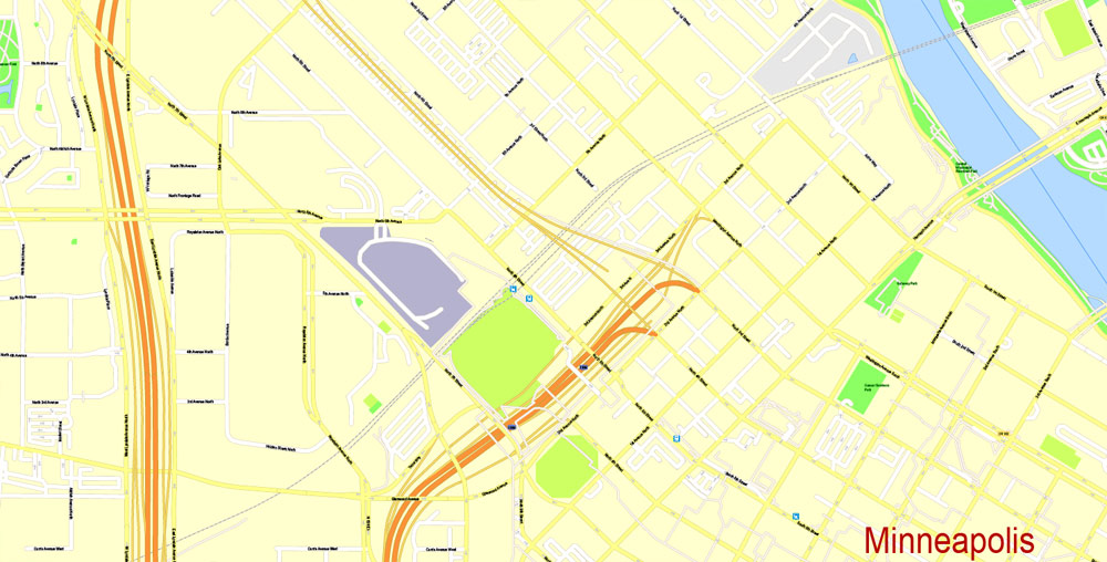
It’s very easy to work with vector maps of Minneapolis city, even for a not very experienced designer who can turn on and off the map layers, add new objects, change the colors of fill and lines according to customer requirements.
The undoubted advantage of Minneapolis city vector maps in printing is an excellent and detailed visualization, when customer can expand a large paper map and instantly define his location, find a landmark, an object or address on map, unlike using the popular electronic formats of Google and Yandex maps for example.
Printable vector maps of Minneapolis city are much more convenient and efficient than any electronic maps on your smartphone, because ALL DETAILS are displayed in the entire space of Minneapolis city map.
Useful tips on working with vector maps of cities and countries in Adobe Illustrator.
«V» – launches the Selection tool (cursor, black arrow), which makes active any vector line.
«А» – launches the Direct Selection tool (white cursor), allows you to select curve elements and drag them to the desired place.
«R» – activates the Rotate tool, which helps you rotating selected objects around the center point by 360 degrees.
«E» – gives you the opportunity to use the Eraser tool and erase unnecessary parts.
«X» – switches between Fill and Stroke in the Tools section. Try to get used to this hot key and
you will quickly understand that you can’t live and work without it.
Guides are not limited to vertical and horizontal in Adobe Illustrator. You can also create a diagonal guide for example. Moreover, you can turn any contours into guides. Select the outline and go to View > Guides > Make Guides (Create Guides), or simply press Cmd/Ctrl + 5. You can also turn the guides back into an editable object. Go to menu, View > Guides > Unlock Guides (Release Guides), select the guide you want to edit and select View > Guides > Release Guides (Reset Guides), or just press Cmd/Ctrl + Option / Alt + 5).
You will probably want to change the color scheme used on our Minneapolis vector city map.
To quickly and effectively play with colors.
Of course, you can do it manually, all objects in our Minneapolis city vector map are divided according to types and layers, and you can easily change the color gamma of vector objects in groups and layers.
Minneapolis has one of the largest LGBT populations in the U.S. proportional to its overall population. Noted for its strong music and performing arts scenes, Minneapolis is home to both the award-winning Guthrie Theater and the historic First Avenue nightclub. Reflecting the region’s status as an epicenter of folk, funk, and alternative rock music, the city served as the launching pad for several of the 20th century’s most influential musicians, including Bob Dylan and Prince. More recently, Minneapolis has become noted for its underground and independent hip-hop and rap scenes, producing artists such as Brother Ali, Atmosphere, and Dessa.
But there is more effective way of working with the whole VECTOR MAP of Minneapolis city and all layers:
The overview dialog «Edit colors»/«Repaint Graphic Object» (this dialog box name can change depending on the context):
If you have selected a part or a layer of Minneapolis city vector map and open the dialog box by clicking the icon in the Control panel, on the Samples palette or the Color Catalog, or if you choose Edit > Edit Colors> Repaint Graphic Object, then the «Repaint Graphic Object» dialog box appears, and you get access to «Assign» and «Edit» tabs.
If a picture or a map fragment is not selected, and you open the dialog box by clicking the icon in the Control panel, on the Samples palette or in the Color Catalog, the «Edit Colors» dialog box appears and you can only access the «Edit» tab.
Regardless of the name at the top of the dialog box, the right-hand side always displays the color group of the current document, as well as two default color groups: Print Color and Grayscale. These color groups can be selected and used any time.
The name Minneapolis is attributed to Charles Hoag, the city’s first schoolmaster, who combined mni, a Dakota Sioux word for water, and polis, the Greek word for city.
Geography and climate
The history and economic growth of Minneapolis are tied to water, the city’s defining physical characteristic, which was brought to the region during the last ice age 10,000 years ago. Ice blocks deposited in valleys by retreating glaciers created the lakes of Minneapolis. Fed by a receding glacier and Lake Agassiz, torrents of water from a glacial river cut the Mississippi riverbed and created the river’s only waterfall, Saint Anthony Falls, important to the early settlers of Minneapolis.
Create and edit color groups of Minneapolis city vector map, and also assign colors using the «Edit Colors»/ а «Repaint Graphic Object» dialog box.
A. Creating and editing of a color group on the «Edit» tab
B. Assigning colors on the «Assign» tab
C. Select a group of colors from the «Color groups» list
The option «Repaint a graphic object» in the lower part of the dialog box allows you to preview the colors on a selected layer of Vector map, or a group of elements, and specify whether its colors will be redefined when the dialog box is closed.
The main areas of the dialog box are:
«Edit»
The «Edit» tab is designed to create a new or edit the existing color groups.
The harmony rules Menu and the Color Wheel are used to conduct experiments with color harmonies. The color wheel shows how colors are related in color harmony, and the color bars allow you to view and manipulate an individual color values. In addition, you can adjust the brightness, add and remove colors, save color groups and view colors on the selected Vector Map of Minneapolis city or a separated layers.
«Assign»
The «Assign» tab is used to view and control on how the original colors are replaced with colors from the color group like your corporate colors in the Vector Map of Minneapolis city.
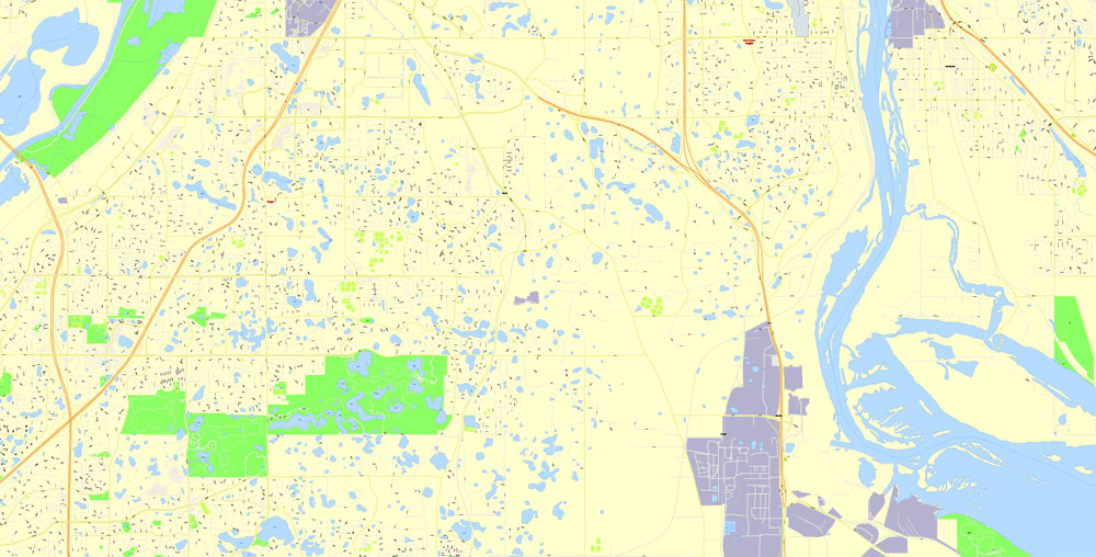
Lying on an artesian aquifer and flat terrain, Minneapolis has a total area of 58.4 square miles (151.3 km2) and of this 6% is water. Water supply is managed by four watershed districts that correspond to the Mississippi and the city’s three creeks. Twelve lakes, three large ponds, and five unnamed wetlands are within Minneapolis.
The city center is located at 45° N latitude. The city’s lowest elevation of 686 feet (209 m) is near where Minnehaha Creek meets the Mississippi River. The site of the Prospect Park Water Tower is often cited as the city’s highest point and a placard in Deming Heights Park denotes the highest elevation. A spot at 974 feet (297 m) in or near Waite Park in Northeast Minneapolis, however, is corroborated by Google Earth as the highest ground.
The assign color ability is provided only if the entire map, layer or fragment is selected in the document. You can specify which of new colors replace the current colors, whether the spot colors should be preserved and how colors are replaced (for example, you can replace colors completely or changing the color tone while maintaining the brightness). The «Assign» tab allows you to redefine colors in the Vector Map of Minneapolis city, or in separate layers and fragments using the current color group or reducing the number of colors in the current Vector Map.
Color groups
Is a list of all saved color groups for current document (the same groups appear in the «Samples» palette). You can edit and delete the existing color groups, as well as creating a new ones using the list of “Color Groups” in the dialog box. All changes appear in the «Samples» palette.
The highlighted color group shows, which color group is currently edited.
Any color group can be selected and edited, or used to redefine the colors in the selected vector map of Minneapolis city, its fragments or elements.
Saving a color group adds this group to the specified list.
Opening the «Edit Colors»/«Repaint Graphic Object» dialog box.
Open the «Edit Colors»/«Repaint Graphic Object» dialog box using one of the following methods:
«Edit»> «Edit Colors»> «Repaint Graphic object» or «Repaint With Style».
Use these commands if you need to edit the colors in the selected vector map of Minneapolis city.
«Repaint Graphic object» button on the «Control» panel.
Use this button if you need to adjust colors of Minneapolis city vector map using the а «Repaint graphic object» dialog box.
The specified button is available if the selected vector map or its fragment contains two or more colors.
Note. This color editing method is convenient for global color adjustment in a vector map, if global colors were not used when creating a City Map of Minneapolis.
The «Edit colors» button or «Edit or apply colors» on the «Color Catalog» palette
Click this button if you need to edit colors on the «Color Catalog» palette or edit and then apply them to the selected Vector Map of Minneapolis city or its fragment.
Physical
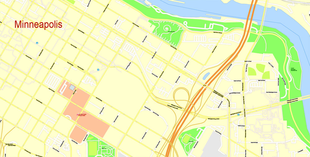
According to the United States Census Bureau, the city has a total area of 151.3 km² (58.4 mi²). 142.2 km² (54.9 mi²) of it is land and 9.1 km² (3.5 mi²) of it (6.01%) is water. The city center is located just south of 45 degrees north latitude. On the south side of Golden Valley Road just east of Wirth Parkway, a stone containing a weathered plaque marks a point on the 45th parallel. The Mississippi, which runs to the southeast, directed the early growth of the city. Most early streets ran parallel to the river to maximize the amount of land that could be used. Eventually, growth of Minneapolis turned to north-south and east-west streets. Many unique intersections like Seven Corners on the eastern periphery of downtown were formed to translate between the two layouts. Some streets, especially older and more traditionally important ones like Hennepin Avenue and Nicollet Avenue, have both orientations at different points.
The «Edit color group» button or «Edit or apply color group» on the «Samples» palette.
Click this button if you need to edit the colors in the specific color group or edit and apply them to the selected Vector Map of Minneapolis city or a group of its elements, for example, the whole layer “Streets and lines”. You can also double-click the color group in the Samples panel to open the dialog box.
If the map file is too large and your computer freezes or even can’t open it quickly:
1. Try to reduce the color resolution of the video card (display) to 256 colors while working with a large map.
2. Using Windows Task Manager, select all the application you don’t need, while working with map, just turn them off.
3. Launch Adobe Illustrator. (DO NOT OPEN the vector map file)
4. Start the Windows Task Manager using administrator rights > Find the “Illustrator” process > set the «real time» priority,
5. Open the file. When you see the LEGACY FONT popup window – click “OK” (do not update). You can restore the TEXT later.
6. Can also be useful: When file is opened – Edit > Settings > Basic Settings > disable smoothing. /// It looks scary, but works quickly)))
We recommend saving the file in Adobe Illustrator 10 version. It’s much more stable when working with VERY BIG size files.
Saint Paul (abbreviated St. Paul) is the capital and second-most populous city of the U.S. state of Minnesota. As of 2017, the city’s estimated population was 309,180. Saint Paul is the county seat of Ramsey County, the smallest and most densely populated county in Minnesota. The city lies mostly on the east bank of the Mississippi River in the area surrounding its point of confluence with the Minnesota River, and adjoins Minneapolis, the state’s largest city. Known as the “Twin Cities”, the two form the core of Minneapolis–Saint Paul, the 16th-largest metropolitan area in the United States, with about 3.6 million residents.
Founded near historic Native American settlements as a trading and transportation center, the city rose to prominence when it was named the capital of the Minnesota Territory in 1849. The Dakota name for Saint Paul is “Imnizaska”. Though Minneapolis (Bdeota) is better-known nationally, Saint Paul contains the state government and other important institutions. Regionally, the city is known for the Xcel Energy Center, home of the Minnesota Wild, and for the Science Museum of Minnesota. As a business hub of the Upper Midwest, it is the headquarters of companies such as Ecolab. Saint Paul, along with its Twin City, Minneapolis, is known for its high literacy rate. It was the only city in the United States with a population of 250,000 or more to see an increase in circulation of Sunday newspapers in 2007.
The settlement originally began at present-day Lambert’s Landing, but was known as Pig’s Eye after Pierre “Pig’s Eye” Parrant established a popular tavern there. When Lucien Galtier, the first Catholic pastor of the region, established the Log Chapel of Saint Paul (shortly thereafter to become the first location of the Cathedral of Saint Paul), he made it known that the settlement was now to be called by that name, as “Saint Paul as applied to a town or city was well appropriated, this monosyllable is short, sounds good, it is understood by all Christian denominations”
Geography
Saint Paul’s history and growth as a landing port are tied to water. The city’s defining physical characteristic, the confluence of the Mississippi and Minnesota Rivers, was carved into the region during the last ice age, as were the steep river bluffs and dramatic palisades on which the city is built. Receding glaciers and Lake Agassiz forced torrents of water from a glacial river that undercut the river valleys. The city is situated in east-central Minnesota.
The Mississippi River forms a municipal boundary on part of the city’s west, southwest, and southeast sides. Minneapolis, the state’s largest city, lies to the west. Falcon Heights, Lauderdale, Roseville, and Maplewood are north, with Maplewood lying to the east. The cities of West Saint Paul and South Saint Paul are to the south, as are Lilydale, Mendota, and Mendota Heights, although across the river from the city. The city’s largest lakes are Pig’s Eye Lake, which is part of the Mississippi, Lake Phalen, and Lake Como. According to the United States Census Bureau, the city has a total area of 56.18 square miles (145.51 km2), of which 51.98 square miles (134.63 km2) is land and 4.20 square miles (10.88 km2) is water.
The Parks and Recreation department is responsible for 160 parks and 41 recreation centers. The city ranked #2 in park access and quality, after only Minneapolis, in the 2018 ParkScore ranking of the top 100 park systems across the United States according to the nonprofit Trust for Public Land.
Minneapolis
City in Minnesota
Minneapolis is a major city in Minnesota that forms “Twin Cities” with the neighboring state capital of St. Paul. Bisected by the Mississippi River, it’s known for its parks and lakes. Minneapolis is also home to many cultural landmarks like the Walker Art Center, a contemporary art museum, and the adjacent Minneapolis Sculpture Garden, famed for Claes Oldenburg’s “Spoonbridge and Cherry” sculpture.
Area
• City 58.4 sq mi (151.3 km2)
• Land 54.9 sq mi (142.2 km2)
• Water 3.5 sq mi (9.1 km2)
Elevation 830 ft (264 m)
Population
• City 382,578
• Estimate 410,939
• Rank
US: 46th
MN: 1st
• Density 7,485/sq mi (2,890/km2)
• Metro 3,524,583 (US: 16th)
Saint Paul
City in Minnesota
Saint Paul is the capital and second-most populous city of the U.S. state of Minnesota.
Area
• City 56.18 sq mi (145.51 km2)
• Land 51.98 sq mi (134.63 km2)
• Water 4.20 sq mi (10.88 km2)
Elevation 702 ft (214 m)
Population
• City 285,068
• Estimate 304,442
• Rank City: 64th MN: 2nd
• Density 5,726/sq mi (2,210/km2)
• Metro 3,524,583 (US: 16th)

Free Download Vector Map US County and State Adobe Illustrator
Free_Vector_Map_US_States_County_Map.ai
Free Download Vector Map US County and State Adobe PDF
Free_Vector_Map_US_States_County_Map.pdf

Free Download Vector Map US With States Names, Adobe Illustrator
Free_Map_of_USA_with_state_names_en.ai
Free Download Vector Map US With States Names, Adobe PDF
Free_Map_of_USA_with_state_names_en.pdf
From WIKI
Free vector map World, Adobe Illustrator, download now maps vector clipart
Map for design, projects, presentation free to use as you like.
See also: TERMS & CONDITIONS: SOFTWARE LICENSE AGREEMENT FOR DIGITAL CARTOGRAPHIC DATA.
Need more USA Vector Maps, printable and editable?

 Author: Kirill Shrayber, Ph.D. FRGS

 Street Map editable Adobe Illustrator in layers")