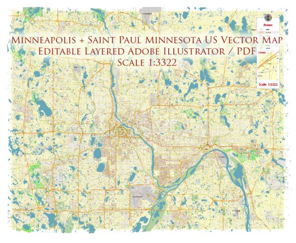
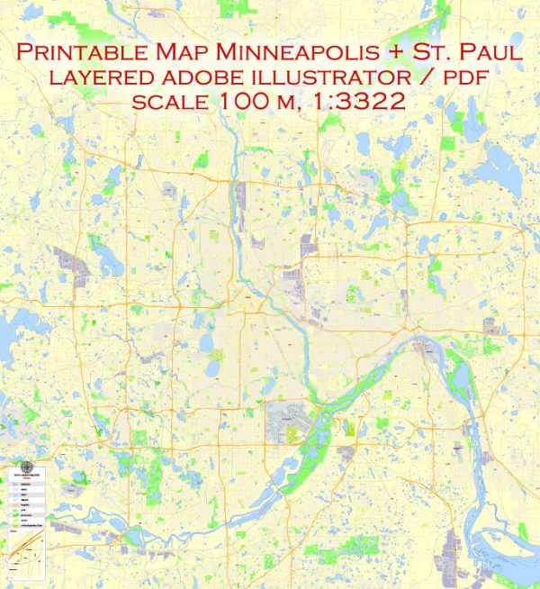
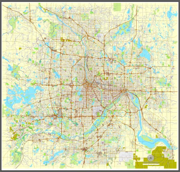
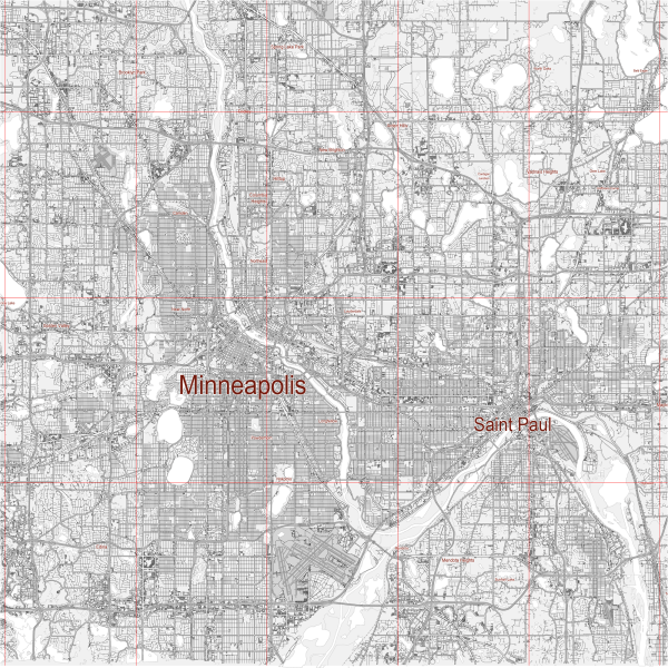
Minneapolis and Saint Paul, collectively known as the Twin Cities, are major cities in the state of Minnesota. While the region is primarily known for its extensive road network, it also offers water and air transportation options. Here’s a description of water and air transportation in the Minneapolis-Saint Paul area:
Water Transportation:
1. Mississippi River: The Mississippi River flows through the Twin Cities, providing a natural waterway for transportation. While commercial navigation is not as prevalent as it once was, the river is still used for recreational activities such as boat tours, kayaking, and paddleboarding. The scenic riverfront areas in both Minneapolis and Saint Paul offer opportunities for leisurely walks and outdoor recreation.
2. Lakes and Water Trails: The Twin Cities are home to numerous lakes, including Lake Minnetonka, White Bear Lake, and others. Many of these lakes have marinas and boat ramps, allowing for boating and water-based activities. Additionally, the region has established water trails, such as the Mississippi National River and Recreation Area, which provide routes for canoeing and kayaking enthusiasts.
Air Transportation:
1. Minneapolis-Saint Paul International Airport (MSP): The primary air transportation hub for the region is the Minneapolis-Saint Paul International Airport (MSP). Located between the two cities, MSP is a major airport serving domestic and international flights. It is a hub for Delta Air Lines and offers a wide range of services, including numerous passenger terminals, cargo facilities, and various ground transportation options.
2. General Aviation Airports: In addition to MSP, there are several smaller airports catering to general aviation. Flying Cloud Airport in Eden Prairie and Anoka County-Blaine Airport are examples of airports that serve private and small aircraft.
3. Air Transportation Infrastructure: The Twin Cities benefit from a well-developed air transportation infrastructure, including air traffic control facilities and maintenance services. This infrastructure supports the efficient operation of commercial and private aviation in the region.
4. Public Transportation to MSP: The METRO Blue Line light rail connects downtown Minneapolis to MSP Airport, providing a convenient public transportation option for air travelers. This light rail line offers a quick and affordable connection between the airport and the city.
5. Aviation Industry Presence: The Twin Cities have a significant presence in the aviation industry. In addition to being a major hub for Delta Air Lines, the region is home to aerospace manufacturing and research facilities, contributing to the overall strength of the aviation sector.
Both water and air transportation options in the Twin Cities contribute to the region’s accessibility and connectivity, offering residents and visitors various ways to travel and explore the area.


 Author: Kirill Shrayber, Ph.D.