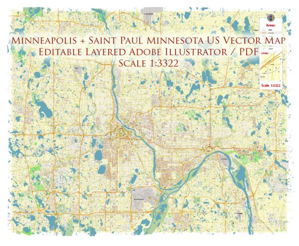
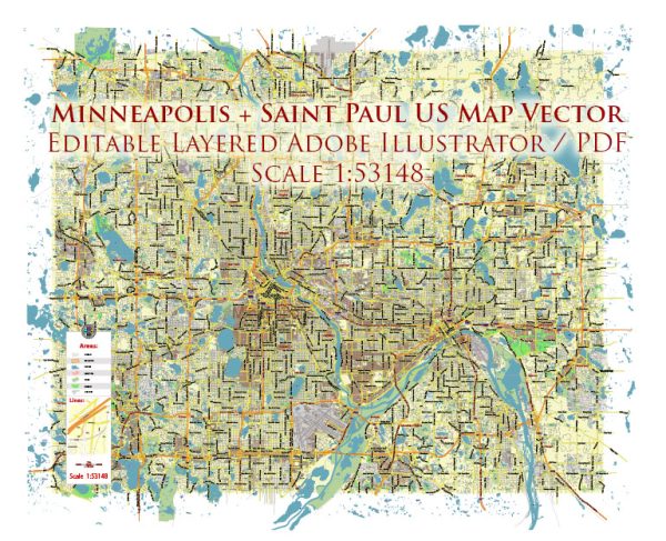
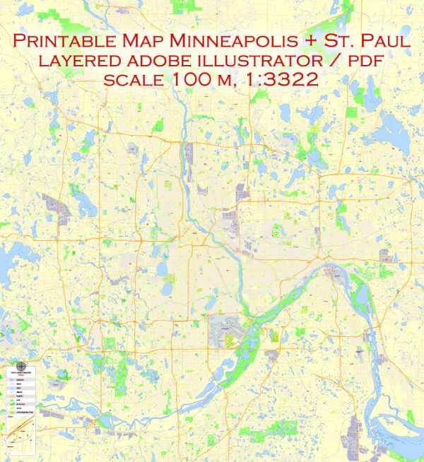
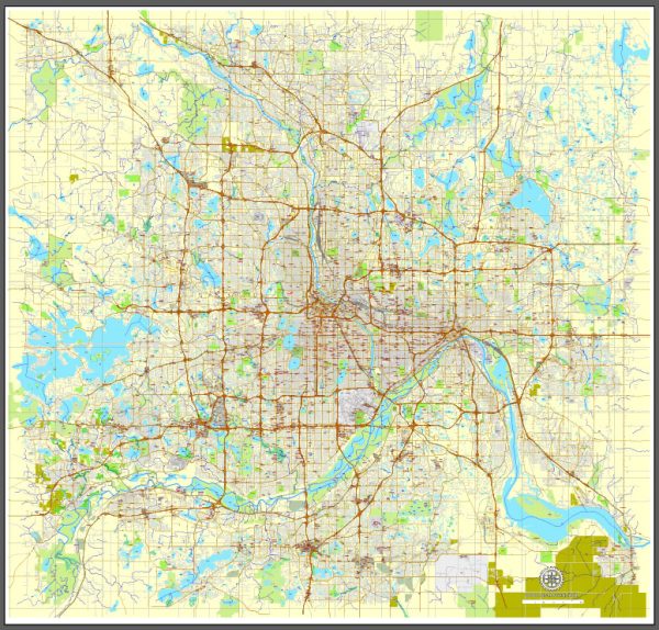
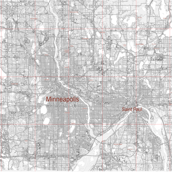
Minneapolis and St. Paul, often referred to as the Twin Cities, are situated along the Mississippi River in the state of Minnesota, USA. Here’s a brief overview of the principal waterways, bridges, and main streets in these cities:
Waterways:
- Mississippi River: The Mississippi River is the primary waterway in the region, flowing through both Minneapolis and St. Paul. It serves as a major transportation route and is a prominent feature of the cities, offering scenic views and recreational opportunities.
Bridges:
- Stone Arch Bridge: This historic bridge spans the Mississippi River in downtown Minneapolis. It was originally a railroad bridge and is now a pedestrian and bicycle bridge, offering stunning views of the river and the city skyline.
- Hennepin Avenue Bridge: Connecting downtown Minneapolis with the Hennepin Avenue area, this bridge is a significant river crossing. It accommodates both vehicular and pedestrian traffic.
- Ford Parkway Bridge: Located in St. Paul, this bridge crosses the Mississippi River and connects the Highland Park neighborhood with the southern part of the city.
Main Streets:
- Nicollet Mall (Minneapolis): Nicollet Mall is a pedestrian-friendly shopping and dining district in downtown Minneapolis. It’s a bustling area with shops, restaurants, and cultural attractions.
- Hennepin Avenue (Minneapolis): This is a major thoroughfare running through downtown Minneapolis and is known for its theaters, entertainment venues, and a variety of dining options.
- Summit Avenue (St. Paul): Summit Avenue is one of the most picturesque streets in St. Paul, lined with historic mansions and beautiful tree-lined sidewalks. It reflects the city’s architectural and cultural history.
- Grand Avenue (St. Paul): Grand Avenue is a popular commercial and residential street in St. Paul, offering a mix of shops, restaurants, and historic architecture.
- University Avenue (Minneapolis and St. Paul): Running through both cities, University Avenue is home to the University of Minnesota’s main campus and is a vibrant area with a mix of businesses, residences, and cultural institutions.
These descriptions provide a snapshot of some of the key waterways, bridges, and main streets in Minneapolis and St. Paul, highlighting the rich history and diversity of these Twin Cities. Vectormap.Net provide you with the most accurate and up-to-date vector maps in Adobe Illustrator, PDF and other formats, designed for editing and printing. Please read the vector map descriptions carefully.

 Author: Kirill Shrayber, Ph.D.