Extended Description of the Vector Map
Minneapolis – a huge city consisting of several areas with attractions, restaurants, nightlife, and housing offers – visit each of them. Minneapolis is part of the twin cities of Minneapolis-Saint Paul. It is the largest city in the state of Minnesota with a population of 400,000.
Districts
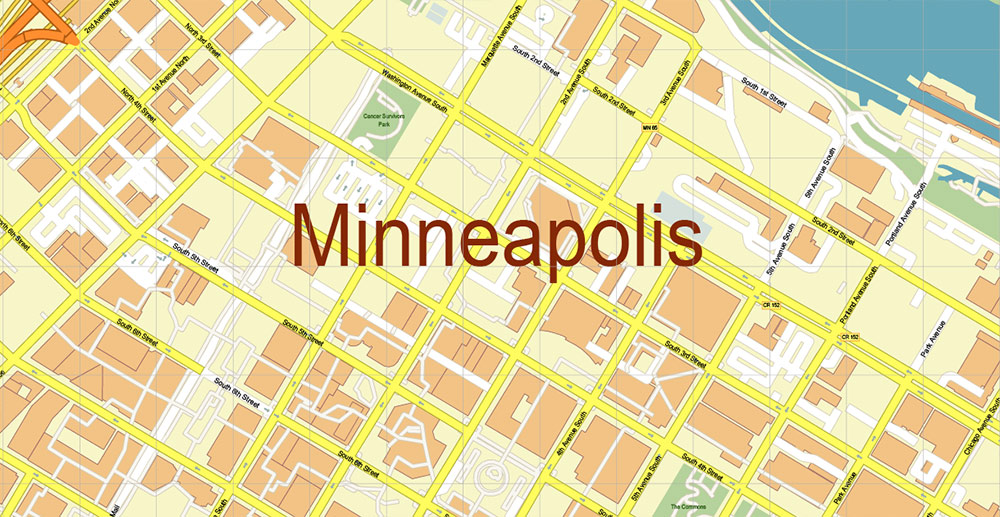
Downtown – the central business district, the main sports and theater venues, the main club area of the city in the Warehouse District, Loring Park, Elliot Park, and the ruins of an ancient mill on the banks of the Mississippi River.
South – West Bank, Seward, Midtown, Nokomis, Longfellow, and Minnehaha Park.
Southwest – residential neighborhoods (Uptown), Lyn-Lake, Linden Hills, Eat Street, and Chain of Lakes.
North – Near North, Camden, Bryn Mawr, and Theodore Wirth Park.
To the northeast is the Minneapolis community of Old Saint Anthony, the old Victorian homes on Nicollet Island, and further north are the old Northeast working-class territories that are now home to a growing community of artists.
Southeast – Dinkytown, Prospect Park, Como, and the University of Minnesota.
About the city
Minneapolis was destined to become a center of commerce due to its location at the Falls of St. Anthony. St. Anthony Falls is by far the largest source of hydroelectric power on the Mississippi River. They were used to power sawmills in the 1840s, and later to grind flour. By 1870, Minneapolis on the west bank and St. Anthony on the east Bank formed the largest flour production center in the world. In 1872, Minneapolis absorbed its older neighbor. Much of the old town of St. Anthony is now known as Northeast Minneapolis. And it includes most of the current suburbs of St. Anthony.
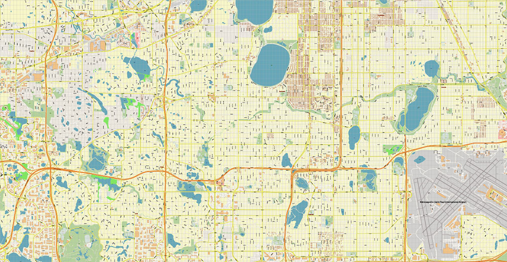
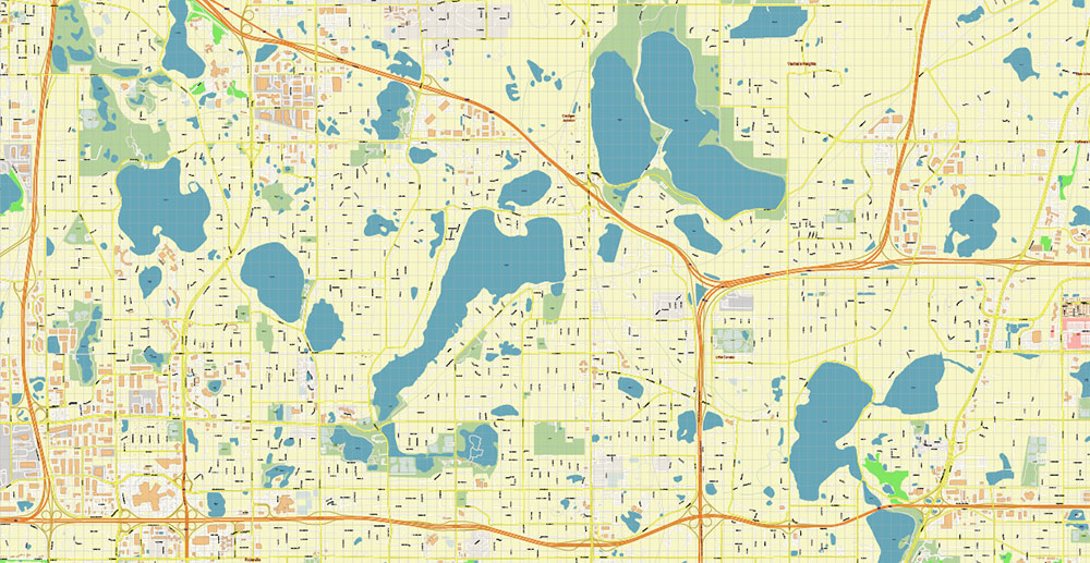
The name “Minneapolis“, which means” City of Waterfalls ” from the Dakota word “minne” and the ancient Greek word polis, refers to St. Anthony Falls. The nickname “City of Lakes” refers to the 22 natural city lakes. The local treasure is a Chain of lakes: Cedar, Isles, Calhoun, Harriet, Nokomis, each of them 3-4 miles in circumference. A well-organized city park authority takes care of the walking and cycling paths around the lakes, thus providing local residents with excellent opportunities for walking and sports.
Don’t miss the restored trolley ride between Lake Calhoun and Lake Harriet, organized by the Minnesota Streetcar Museum. The city is constantly working to maintain and develop residential areas, each of which has its own unique atmosphere.
Downtown is the backbone of Minneapolis, with high-rises, ongoing sporting events (Timberwolves, Vikings, and Twins all played in the downtown area), and nightclubs.
The northeast is the oldest part of the city. The basis of its population has long been made up of immigrants and people from a working environment, which is still reflected in many areas of its life: in the excellent ethnic food, in the neighborhood bars, and social clubs. Midtown has historically been one of the city’s youth centers with awesome food, drinks, theaters, lots of tattoos, and Mohawks, but focused more on yuppies and young families, as real estate anywhere near the lake becomes increasingly expensive to acquire.
Residential neighborhoods and lake areas move into the quiet, hidden Linden Hills to the south and Lin Lake, home to many indie bands focused on alternative lifestyles, hangouts, music, cafes, and bars. The main building of the University of Minnesota is located on both sides of the Mississippi River in the southeast, surrounded by the college buildings.
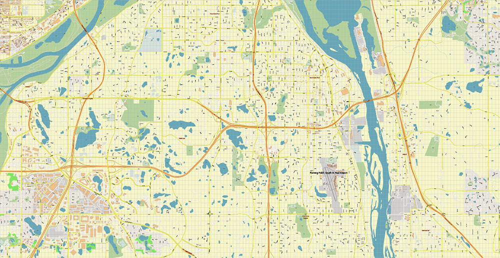
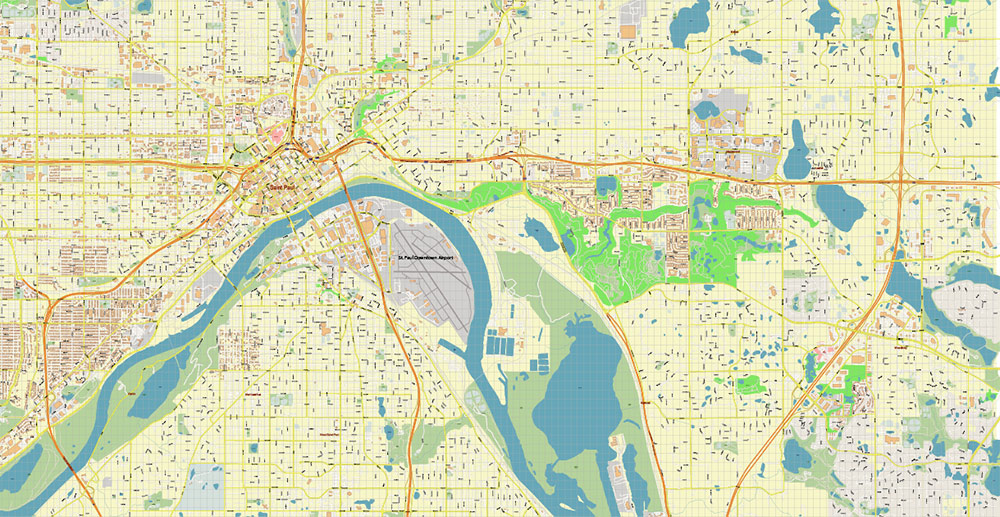
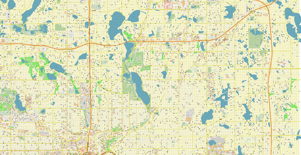
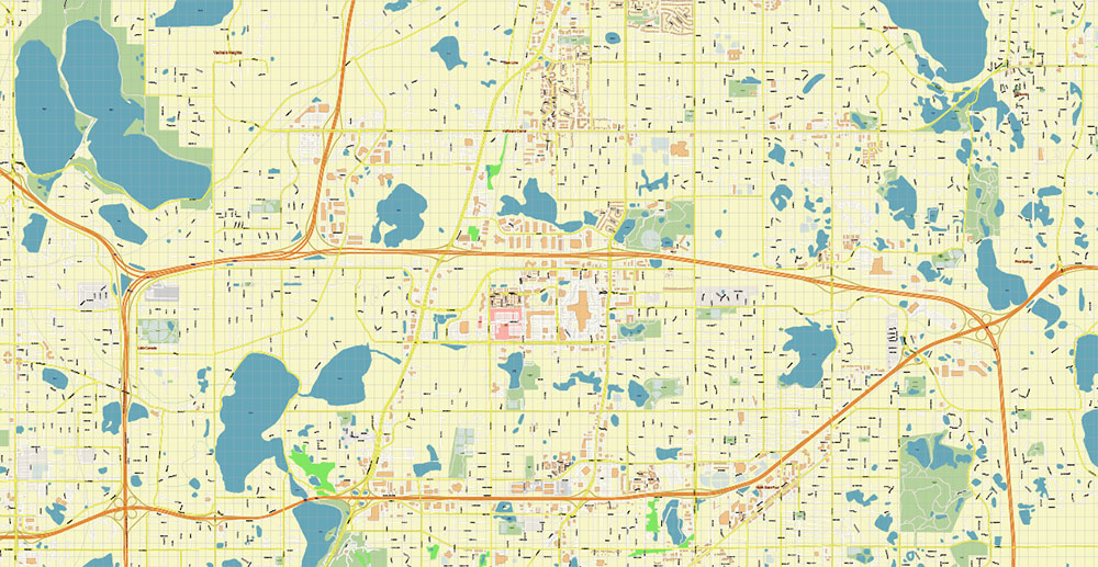
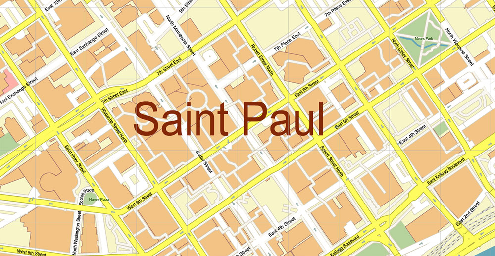
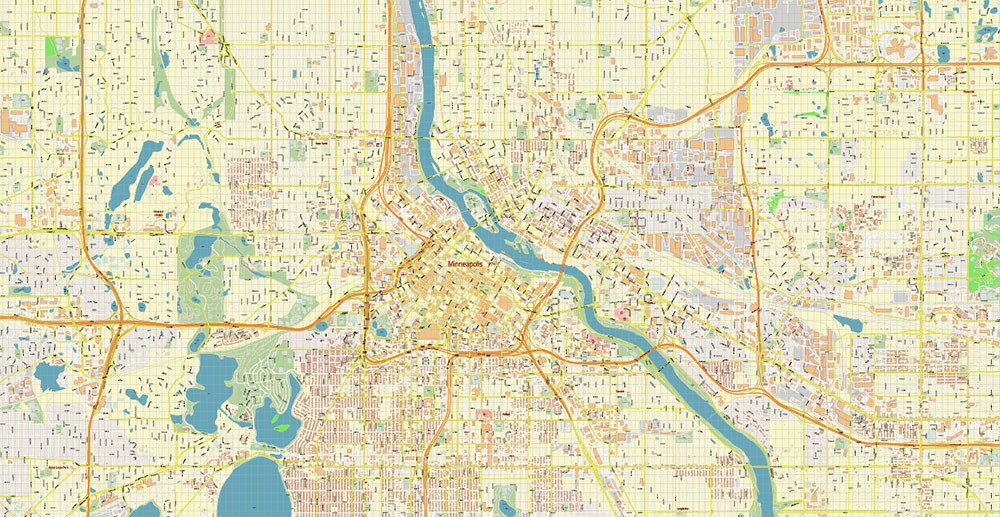
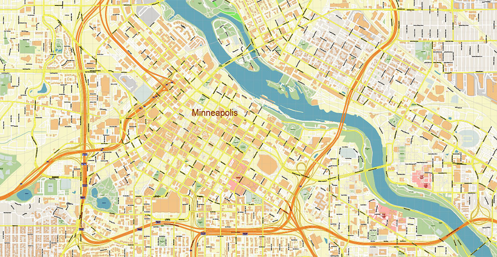
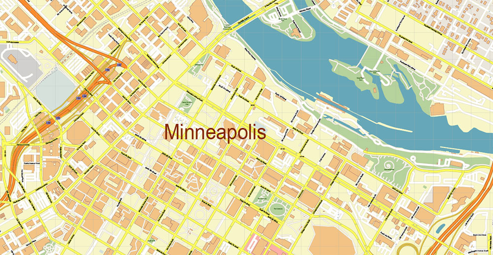
Printable Vector Map of Minneapolis + Saint Paul Minnesota US detailed City Plan scale 1:3322 full editable Adobe Illustrator Street Map in layers, scalable, text format all names, 28 MB ZIP
All street names, Main Objects, Buildings. Map for design, printing, arts, projects, presentations, for architects, designers, and builders, business, logistics.
If you need: We can add some objects to this map (add-on layers) – for example, zip codes areas with numbers, or any other.
Free for our customers.
Need AutoCAD DWG / DXF or any other format? Please, contact us!
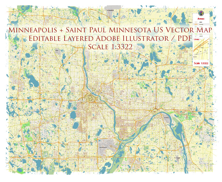
Minneapolis + Saint Paul Minnesota US Map Vector Accurate High Detailed City Plan editable Adobe Illustrator Street Map in layers
Layers list:
- Legend
- Grids
- Labels of roads
- Names of places (city, hamlet, etc.)
- Names of objects (hospitals, parks, water)
- Names of main streets
- Names of civil streets
- Arrows of street drive direction
- Main Streets, roads
- Civil streets
- Railroads
- Buildings
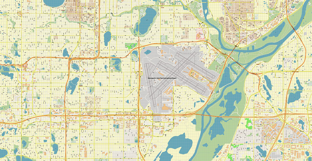
- Airports and heliports
- Water objects (rivers, lakes, ponds)
- Waterways
- Color fills (parks, hospital areas, land use, etc.)
- Background
Minneapolis + Saint Paul Minnesota US Map Vector Accurate High Detailed City Plan editable Adobe Illustrator Street Map in layers
Minneapolis + Saint Paul Minnesota US Map Vector Accurate High Detailed City Plan editable Adobe Illustrator Street Map in layers
Minneapolis + Saint Paul Minnesota US Map Vector Accurate High Detailed City Plan editable Adobe Illustrator Street Map in layers
Minneapolis + Saint Paul Minnesota US Map Vector Accurate High Detailed City Plan editable Adobe Illustrator Street Map in layers
Minneapolis + Saint Paul Minnesota US Map Vector Accurate High Detailed City Plan editable Adobe Illustrator Street Map in layers
Minneapolis + Saint Paul Minnesota US Map Vector Accurate High Detailed City Plan editable Adobe Illustrator Street Map in layers
Minneapolis + Saint Paul Minnesota US Map Vector Accurate High Detailed City Plan editable Adobe Illustrator Street Map in layers
Minneapolis + Saint Paul Minnesota US Map Vector Accurate High Detailed City Plan editable Adobe Illustrator Street Map in layers
Minneapolis + Saint Paul Minnesota US Map Vector Accurate High Detailed City Plan editable Adobe Illustrator Street Map in layers
Minneapolis + Saint Paul Minnesota US Map Vector Accurate High Detailed City Plan editable Adobe Illustrator Street Map in layers
Minneapolis + Saint Paul Minnesota US Map Vector Accurate High Detailed City Plan editable Adobe Illustrator Street Map in layers
Minneapolis + Saint Paul Minnesota US Map Vector Accurate High Detailed City Plan editable Adobe Illustrator Street Map in layers
Minneapolis + Saint Paul Minnesota US Map Vector Accurate High Detailed City Plan editable Adobe Illustrator Street Map in layers
Minneapolis + Saint Paul Minnesota US Map Vector Accurate High Detailed City Plan editable Adobe Illustrator Street Map in layers
Minneapolis + Saint Paul Minnesota US Map Vector Accurate High Detailed City Plan editable Adobe Illustrator Street Map in layers


 Author: Kirill Shrayber, Ph.D. FRGS
 Street Map editable Adobe Illustrator in layers")

 full editable, Adobe Illustrator")