Extended Description of the Vector Map
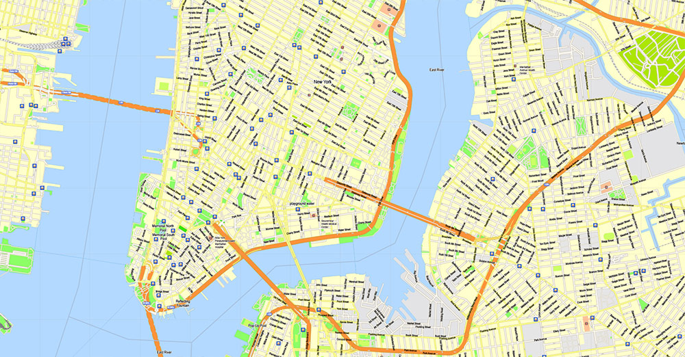
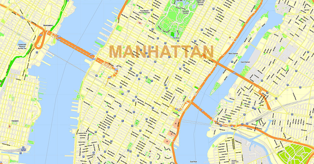
Printable PDF Vector Map of New York City US High Detailed scale 500 m fully editable Adobe PDF Street Map in layers, scalable, text/curves format all names, 81 MB ZIP
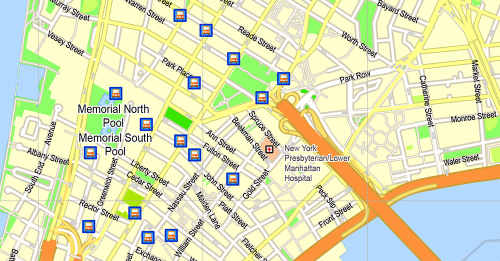
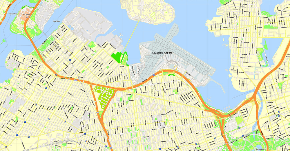
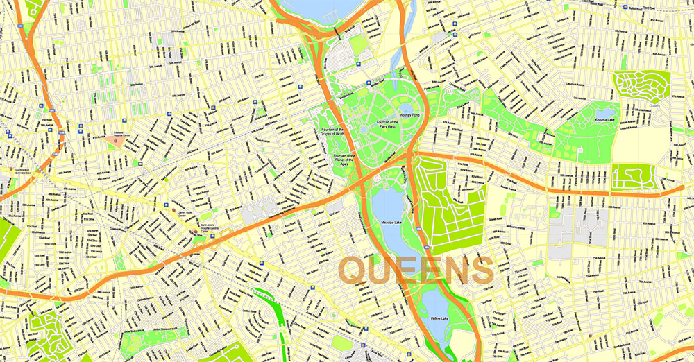
All street names, Main Objects, transportation and hospitals vector icons. Map for design, printing, arts, projects, presentations, for architects, designers, and builders, business, logistics. Included the Boroughs of the NYC – Manhatten, Broockyn, Queens, Bronx, Staten Island (please, see the preview for map coverage area)
Also: We can add (additional layer for this map), any other objects for you. It’s free for our customers.
If you need any OTHER format – or something else – please, email us
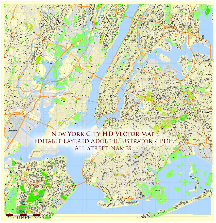
New York City US PDF Map Vector High Detailed Street Map editable Adobe PDF in layers v.7
Layers list:
- Legend
- Grids
- Labels of roads 1, 2
- Names of places / objects
- Borough names
- Names of objects (hospitals, parks, water)
- Names of streets
- Arrows of street directions
- Streets, roads, railroads, waterlines
- Icons Transportation and Hospital
- Ground objects and water areas
- Background
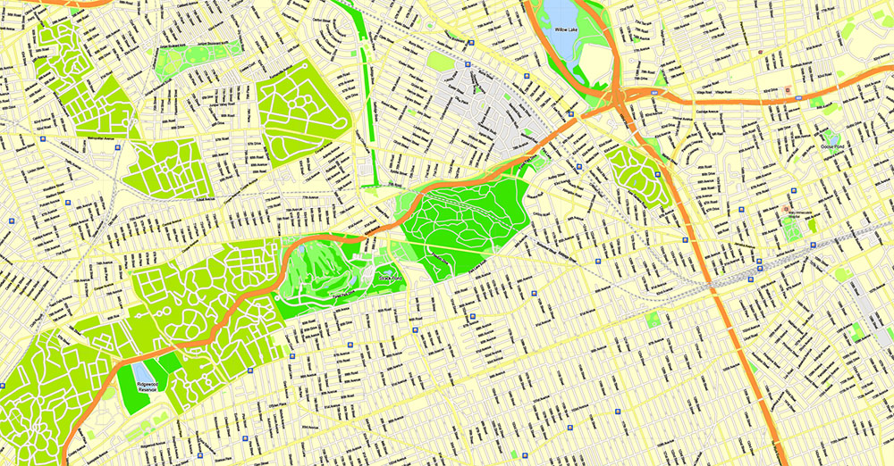
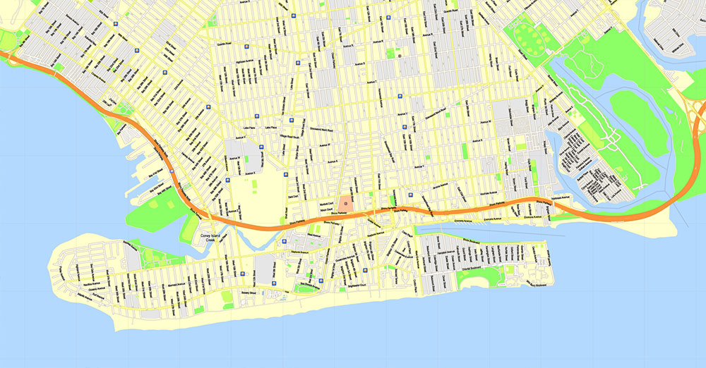
New York City US PDF Map Vector High Detailed Street Map editable Adobe PDF in layers v.7
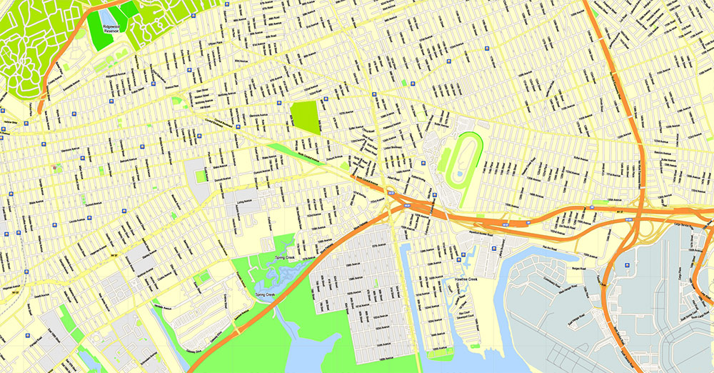
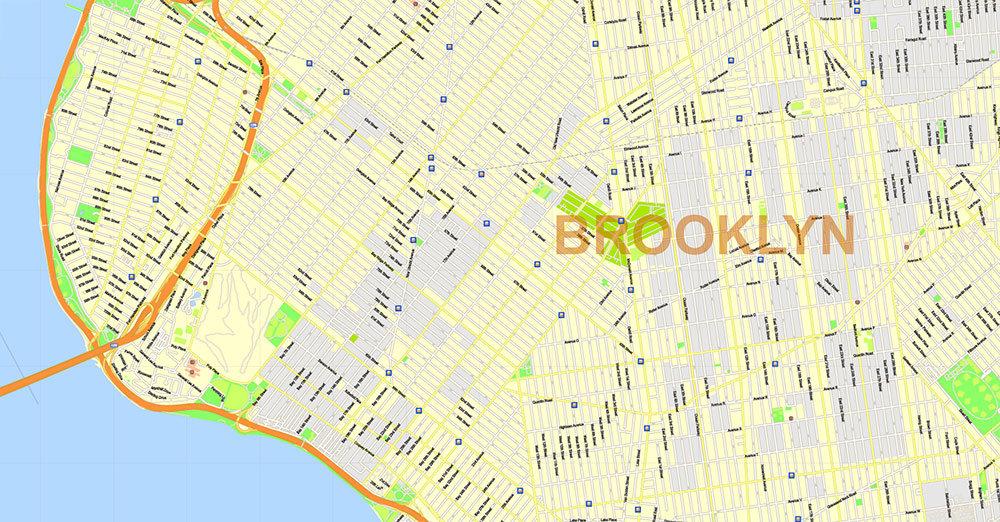
New York City US PDF Map Vector High Detailed Street Map editable Adobe PDF in layers v.7
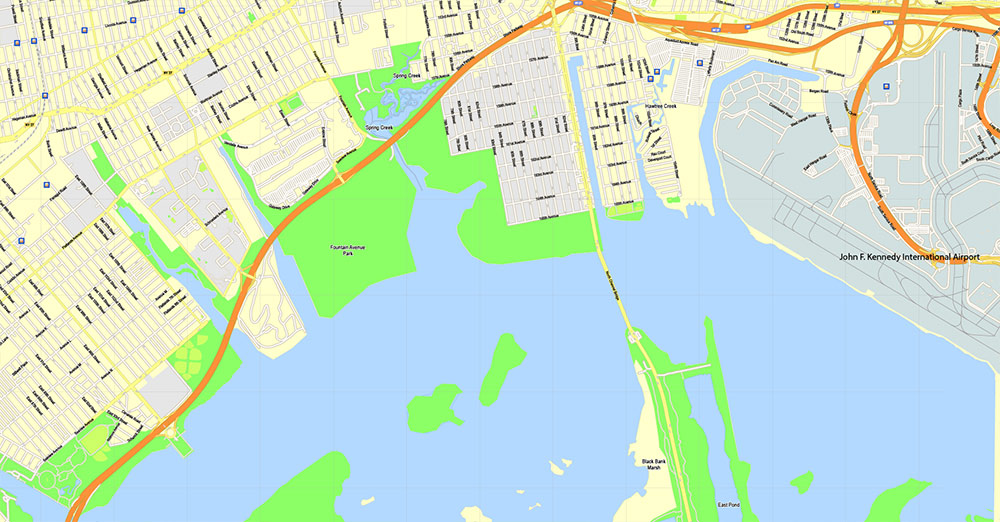
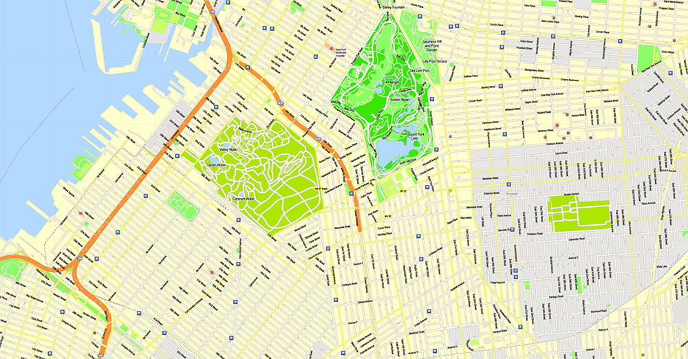
New York City US PDF Map Vector High Detailed Street Map editable Adobe PDF in layers v.7
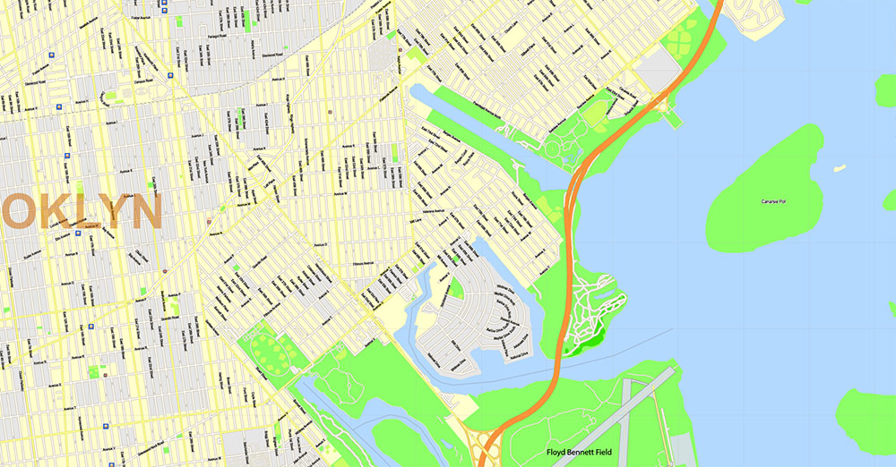
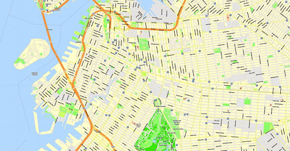
New York City US PDF Map Vector High Detailed Street Map editable Adobe PDF in layers v.7
New York City US PDF Map Vector High Detailed Street Map editable Adobe PDF in layers v.7
New York City US PDF Map Vector High Detailed Street Map editable Adobe PDF in layers v.7
New York City US PDF Map Vector High Detailed Street Map editable Adobe PDF in layers v.7
New York City US PDF Map Vector High Detailed Street Map editable Adobe PDF in layers v.7
New York City US PDF Map Vector High Detailed Street Map editable Adobe PDF in layers v.7
New York City US PDF Map Vector High Detailed Street Map editable Adobe PDF in layers v.7
New York City US PDF Map Vector High Detailed Street Map editable Adobe PDF in layers v.7
New York City US PDF Map Vector High Detailed Street Map editable Adobe PDF in layers v.7
New York City US PDF Map Vector High Detailed Street Map editable Adobe PDF in layers v.7

 Author: Kirill Shrayber, Ph.D. FRGS


