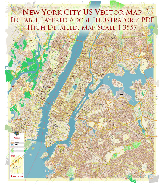
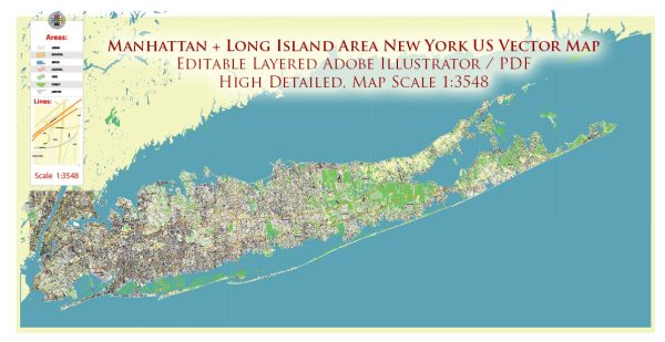
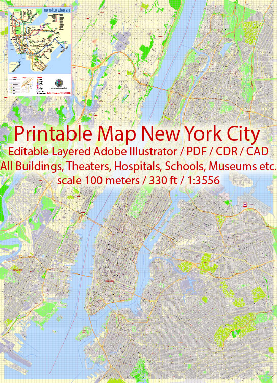
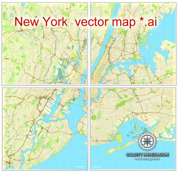
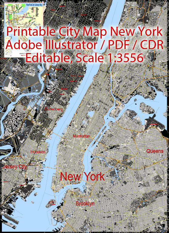
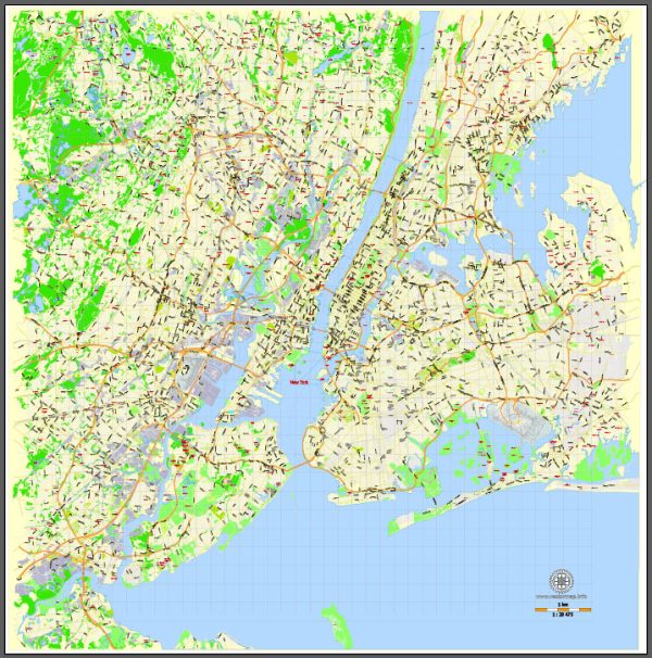
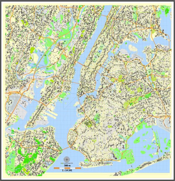
A detailed description of the history, port and transportation infrastructure of the New York City US.
Vectormap.Net provide you with the most accurate and up-to-date vector maps in Adobe Illustrator, PDF and other formats, designed for editing and printing. Please read the vector map descriptions carefully.
History: New York City (NYC) has a rich and diverse history that dates back to the early 17th century when it was originally inhabited by Native American tribes. In 1624, the Dutch established the colony of New Amsterdam on the southern tip of Manhattan Island. In 1664, the English captured the colony and renamed it New York after King Charles II’s brother, the Duke of York.
During the American Revolution, NYC played a significant role, serving as the headquarters for British forces. In 1785, it became the first capital of the newly formed United States. The 19th century saw the city’s population explode due to immigration, industrialization, and economic growth. The construction of iconic structures like the Brooklyn Bridge and Statue of Liberty occurred during this period.
The 20th century marked NYC as a global financial and cultural center. It endured challenges like the Great Depression and experienced a revitalization in the late 20th century, transforming into the metropolis we recognize today.
Ports: New York Harbor is one of the largest natural harbors in the world, and the Port of New York and New Jersey is a major gateway for international trade. It consists of various facilities, including the Elizabeth-Port Authority Marine Terminal, the Howland Hook Marine Terminal, and the Red Hook Container Terminal. The port handles a vast array of cargo, from containers to automobiles, petroleum, and bulk goods.
Transportation Infrastructure: Roads: NYC is served by an extensive network of roads and highways. The city is known for its iconic avenues like Broadway, Fifth Avenue, and Park Avenue. Major highways include the Brooklyn-Queens Expressway (BQE), the FDR Drive, and the West Side Highway.
Subway: The New York City Subway, operated by the Metropolitan Transportation Authority (MTA), is one of the world’s largest and busiest metro systems. It began operations in 1904 and consists of numerous lines that connect all five boroughs.
Buses: MTA also operates an extensive bus network that complements the subway system, providing additional connectivity.
Bridges and Tunnels: NYC is connected by numerous bridges and tunnels. Some famous ones include the Brooklyn Bridge, George Washington Bridge, Lincoln Tunnel, and Holland Tunnel.
Airports: The city is served by several major airports, including John F. Kennedy International Airport (JFK), LaGuardia Airport (LGA), and Newark Liberty International Airport (EWR).
Rail: Penn Station is a major railway hub, serving Amtrak, Long Island Rail Road (LIRR), and New Jersey Transit. Grand Central Terminal serves Metro-North Railroad.
Overall, NYC’s transportation infrastructure is critical to its status as a global economic and cultural hub. It has evolved over centuries to meet the needs of its diverse and dynamic population.

 Author: Kirill Shrayber, Ph.D.