General overview of New York City’s maritime and air transportation infrastructure.
Maritime Transportation:
- Ports:
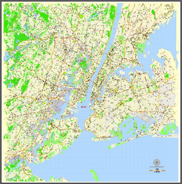
- The Port of New York and New Jersey is one of the largest and busiest ports on the East Coast of the United States. It includes facilities in both New York and New Jersey and handles a significant portion of the nation’s cargo.
- Waterways:
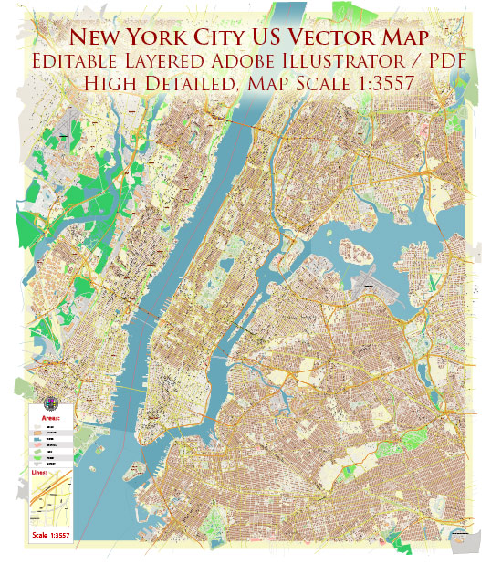
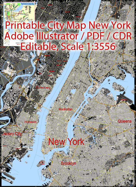
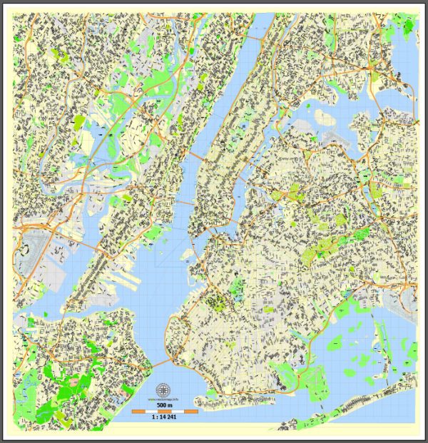
- The city is situated on the shores of the Hudson River, and the East River connects it to Long Island Sound. These waterways are essential for the transportation of goods, and there are various ferry services operating for passenger transport.
- Ferries:
- New York City has a network of ferry services connecting different parts of the city and neighboring areas. Popular routes include those between Manhattan and Staten Island, as well as services to Brooklyn and Queens.
Air Transportation:
- Airports:
- New York City is served by several major airports:
- John F. Kennedy International Airport (JFK): Located in Queens, JFK is one of the busiest international airports in the United States.
- LaGuardia Airport (LGA): Also situated in Queens, LaGuardia primarily handles domestic flights.
- Newark Liberty International Airport (EWR): Although in New Jersey, Newark Airport serves the New York metropolitan area and is a major hub for both domestic and international flights.
- New York City is served by several major airports:
- Airlines:
- Numerous domestic and international airlines operate from these airports, providing a wide range of flights to destinations around the world.
- Ground Transportation to Airports:
- Various transportation options, including taxis, car services, buses, and the AirTrain JFK and AirTrain Newark, provide convenient access to and from the airports.
- Air Traffic Control:
- The airspace around New York City is among the busiest in the world. The FAA (Federal Aviation Administration) and other relevant authorities manage air traffic control to ensure safe and efficient operations.



 Author: Kirill Shrayber, Ph.D.