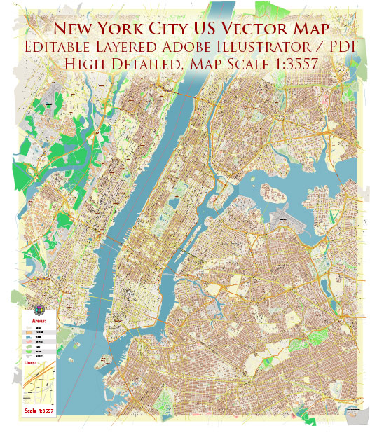
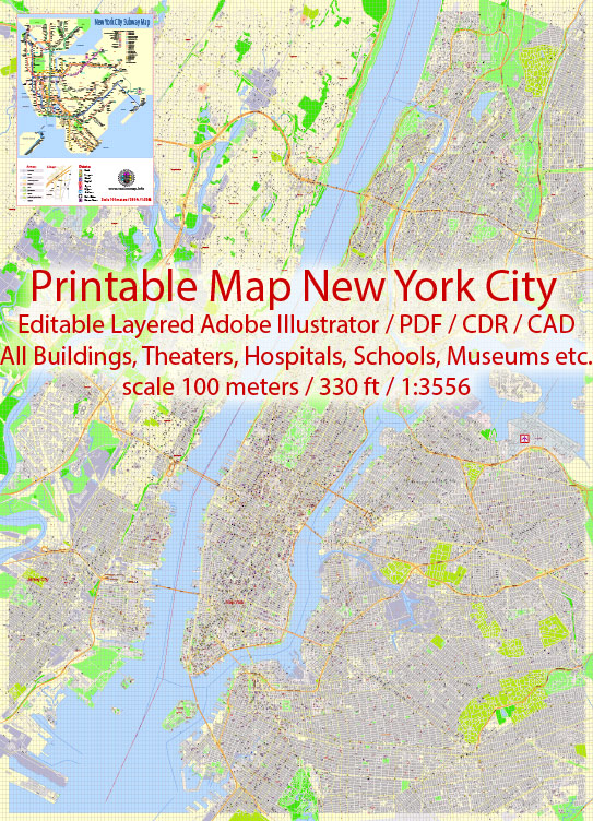
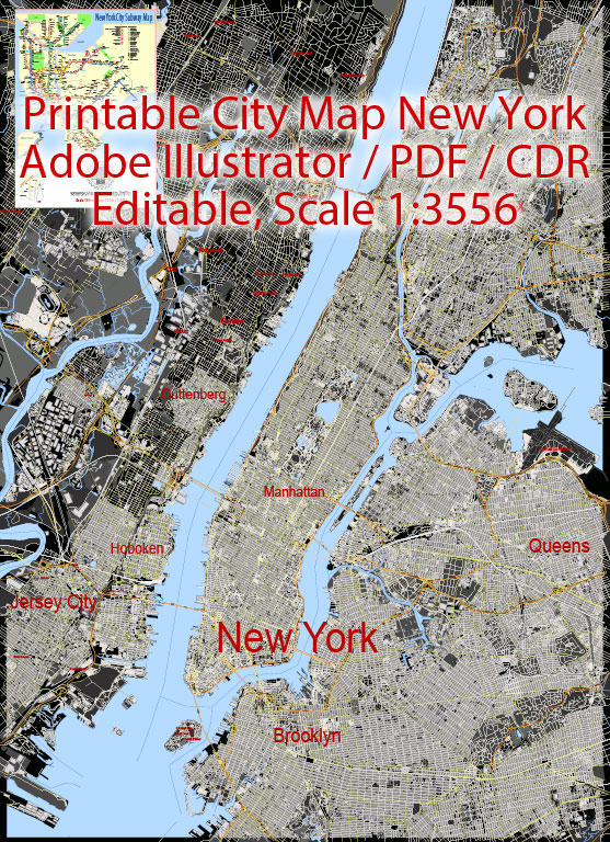
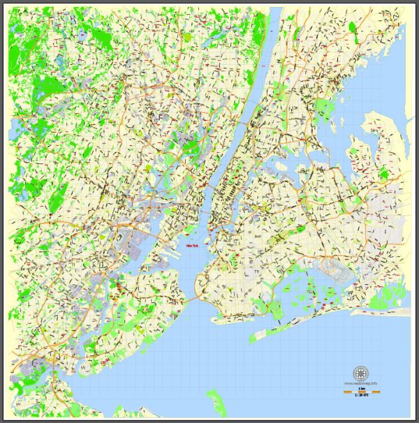
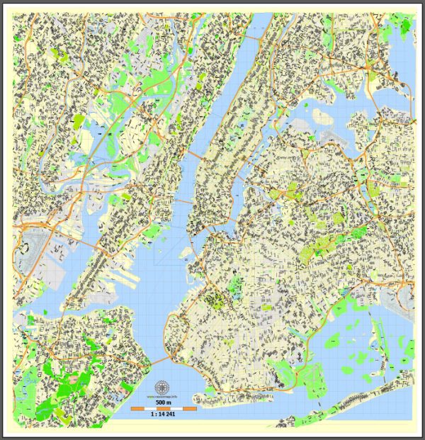
New York City is known for its intricate network of waterways, iconic bridges, and bustling streets. Here’s a brief description of some of the principal waterways, bridges, and main streets in the city:
Waterways:
- Hudson River: Flowing along the western edge of Manhattan, the Hudson River is a major waterway that offers stunning views of the city skyline. It serves as a natural border between New York and New Jersey.
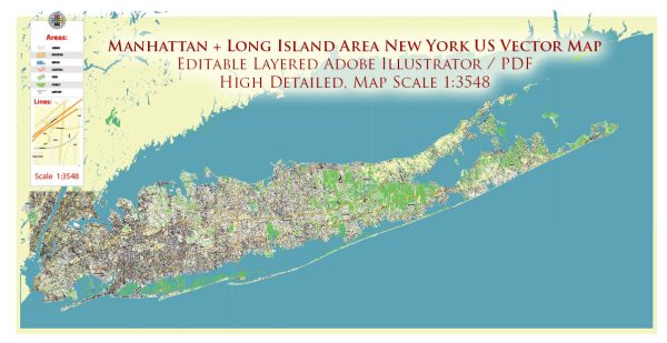
- East River: This tidal strait lies to the east of Manhattan and separates it from Long Island. The Brooklyn Bridge spans the East River, connecting Manhattan and Brooklyn.
- Harlem River: Connecting the Hudson River to the East River, the Harlem River flows through the northern part of Manhattan.
Bridges:
- Brooklyn Bridge: One of the most iconic landmarks in the city, the Brooklyn Bridge spans the East River, connecting the boroughs of Manhattan and Brooklyn. It offers pedestrian walkways with panoramic views of the city.
- Williamsburg Bridge: This bridge also crosses the East River, connecting Manhattan’s Lower East Side with Williamsburg in Brooklyn. It is known for its distinctive, arched design.
- Manhattan Bridge: Another key East River crossing, the Manhattan Bridge connects Manhattan and Brooklyn, providing both vehicular and subway transportation.
- George Washington Bridge: Spanning the Hudson River, the George Washington Bridge connects the borough of Manhattan with Fort Lee, New Jersey. It is one of the busiest bridges in the world.
Main Streets:
- Broadway: Famous for its theaters and the Theater District, Broadway is a major north-south avenue that runs through Manhattan. It is renowned for its entertainment venues and is a symbol of the city’s cultural scene.
- Fifth Avenue: A prestigious shopping and residential street, Fifth Avenue is home to luxury boutiques, flagship stores, and iconic landmarks such as the Empire State Building and Rockefeller Center.
- Park Avenue: Running along the east side of Manhattan, Park Avenue is known for its upscale residential buildings, corporate offices, and beautiful median with landscaped greenery.
- Wall Street: Located in the Financial District of Lower Manhattan, Wall Street is synonymous with the New York Stock Exchange and is a symbol of the city’s financial prowess.
- Lexington Avenue: Another major north-south avenue, Lexington Avenue is lined with shops, restaurants, and residential buildings. It’s also well-known for its proximity to Grand Central Terminal.
These waterways, bridges, and streets collectively contribute to the vibrant and dynamic character of New York City, making it a unique and iconic metropolis.
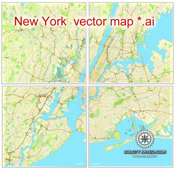
Vectormap.Net provide you with the most accurate and up-to-date vector maps in Adobe Illustrator, PDF and other formats, designed for editing and printing. Please read the vector map descriptions carefully.

 Author: Kirill Shrayber, Ph.D.