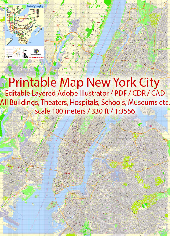
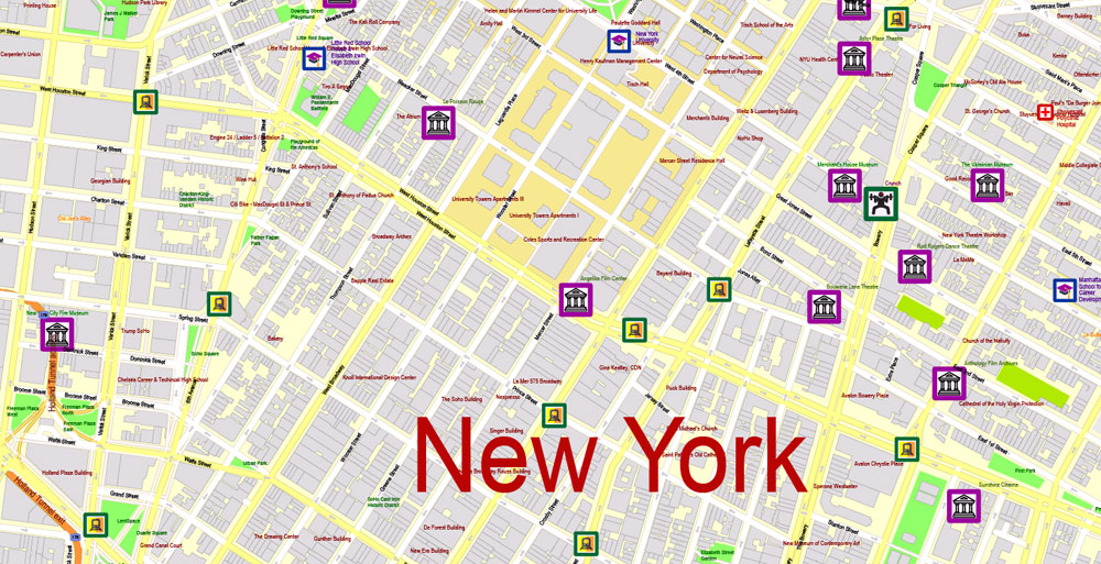
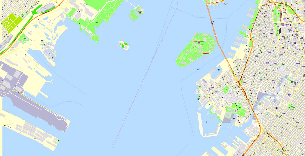
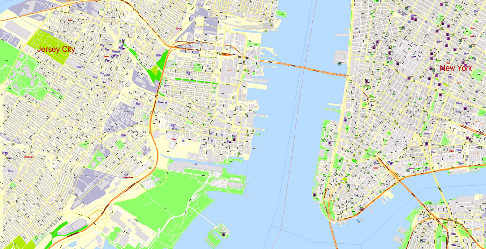
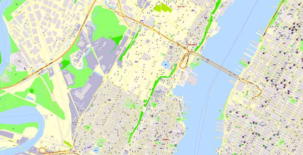
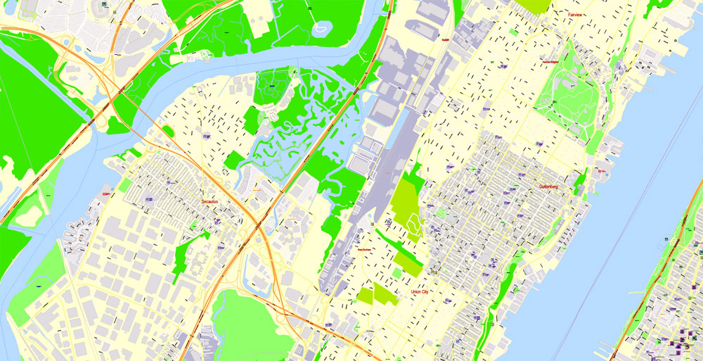
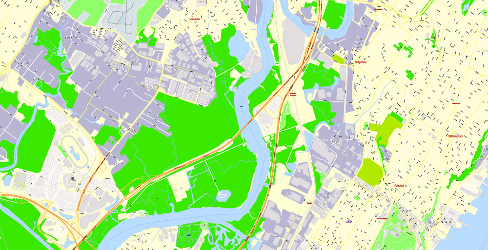
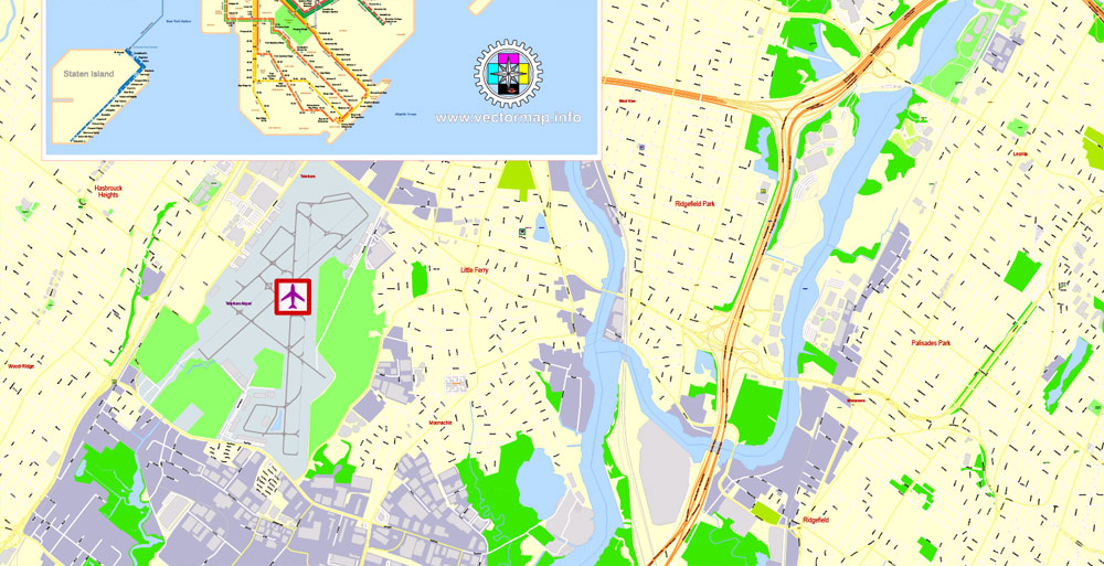
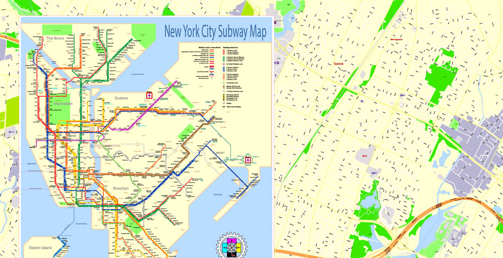
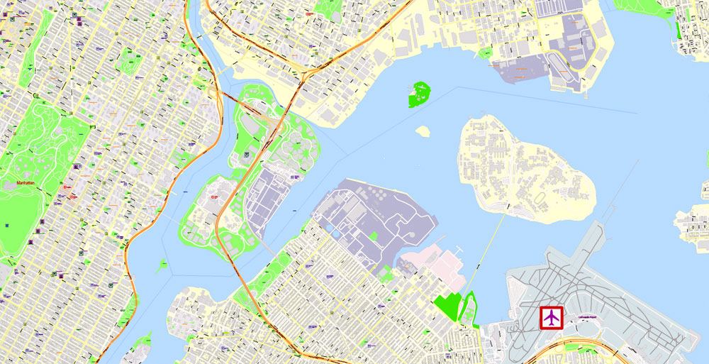
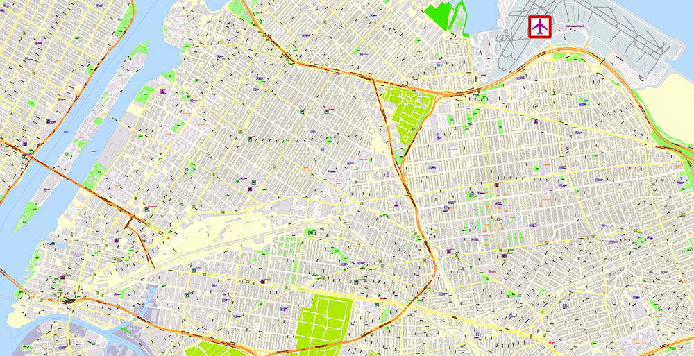
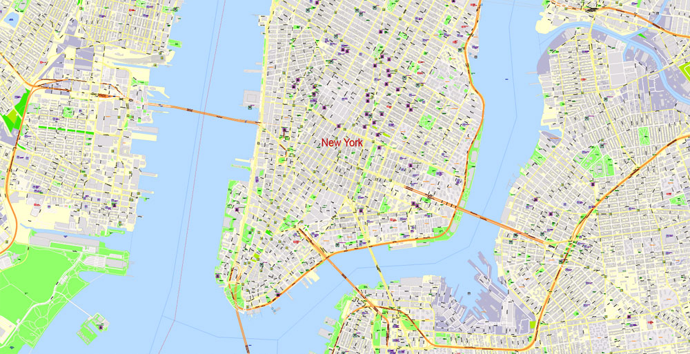
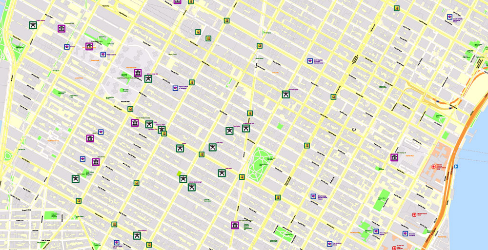
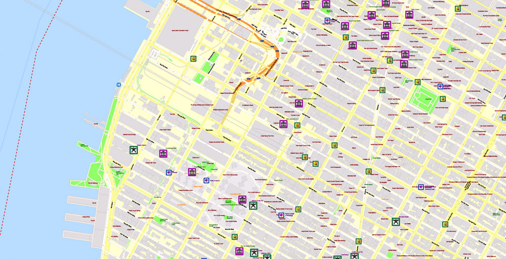
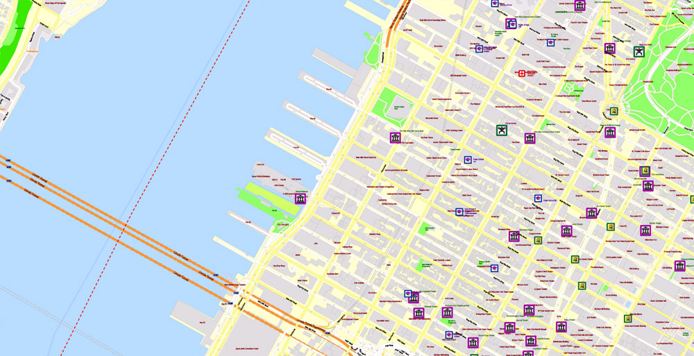
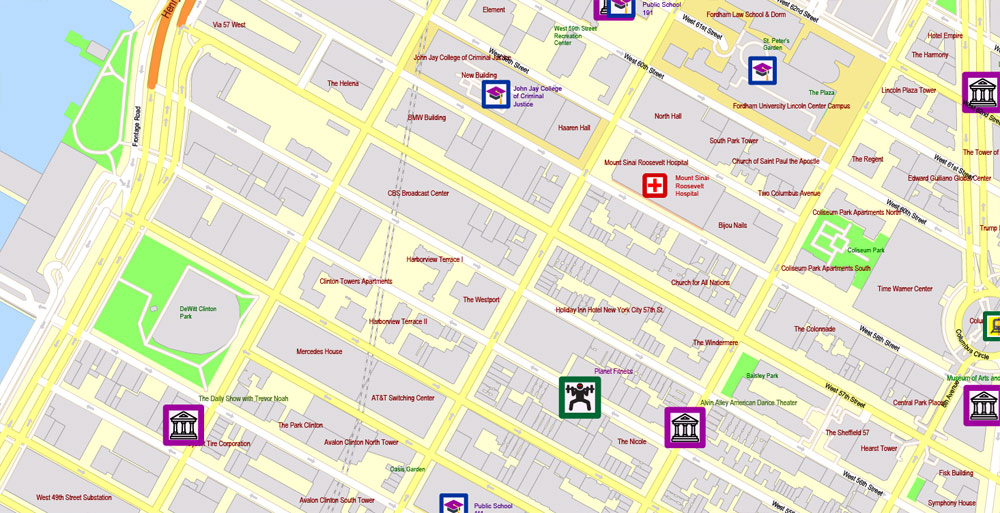
Printable PDF Map New York City, US, exact detailed City Plan scale 100 meters 1:3556 ALL Buildings, full editable Vector, Adobe PDF, scalable, 37 MB ZIP
Map for design, printing, arts, projects, presentations, for architects, designers, and builders, business, logistics.
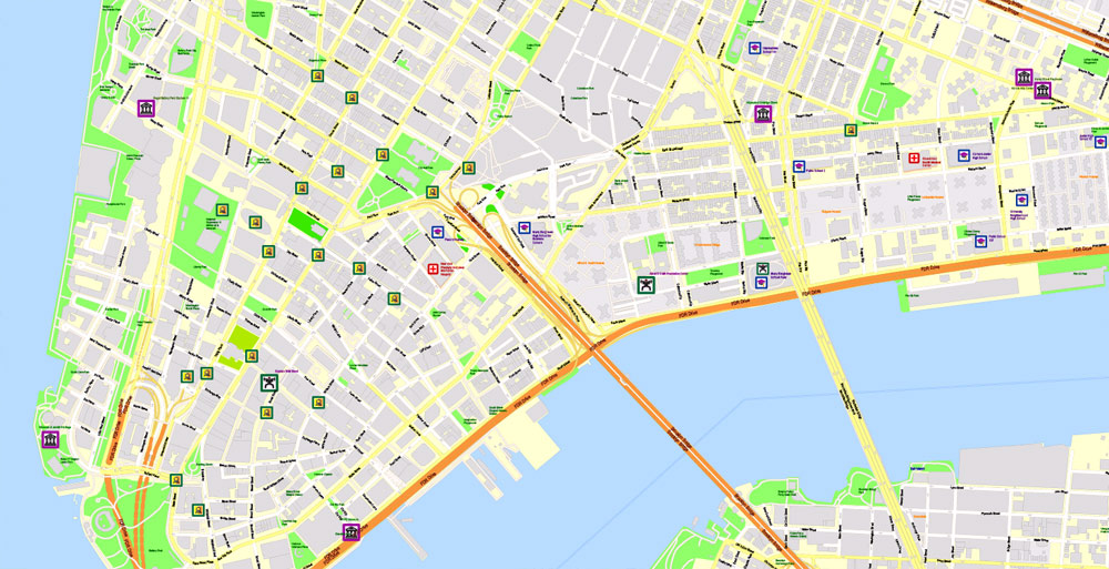
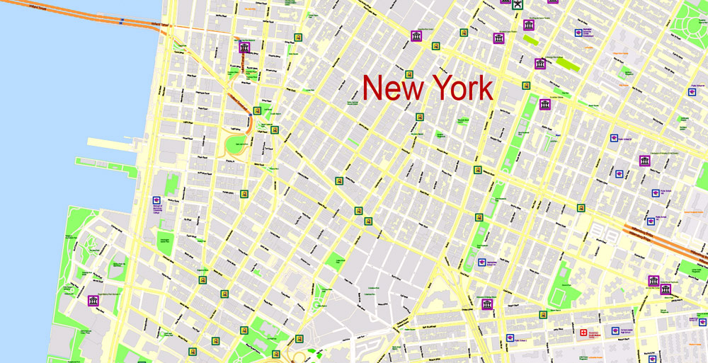
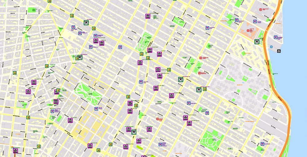
Layers: color_fills, water_objects, streets_roads, arrows_streets, names_streets, names_hiways, names_objects, objects_vector, icons_vector, icons_poi, names_museums_amusements, names_stadiums, names_buildings, names_places, labels_roads, grids, free_subway_map_legend.
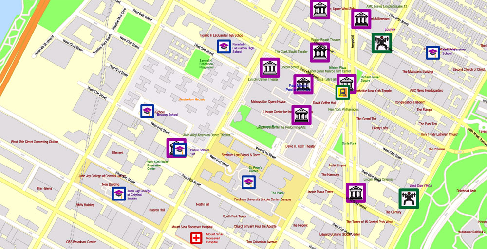
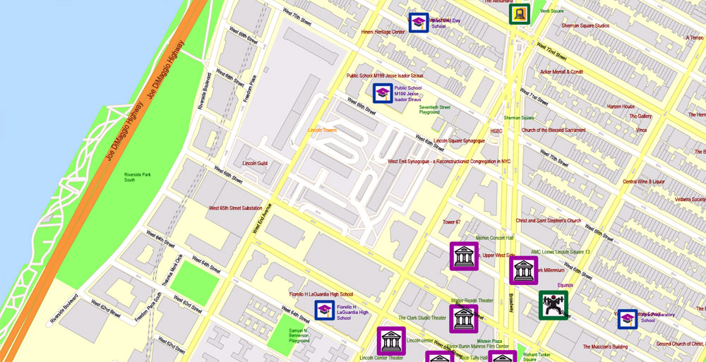
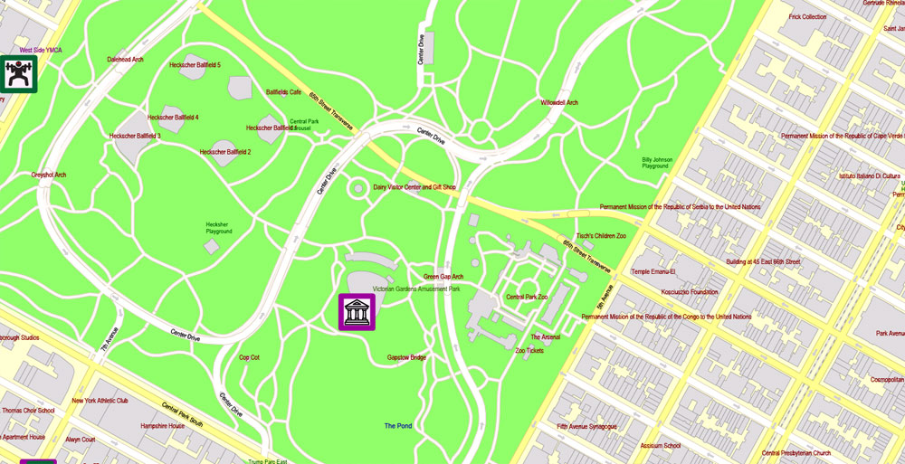
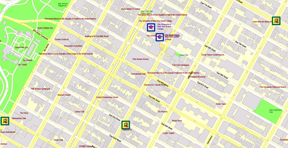
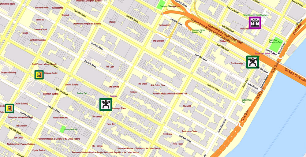
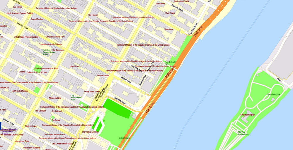
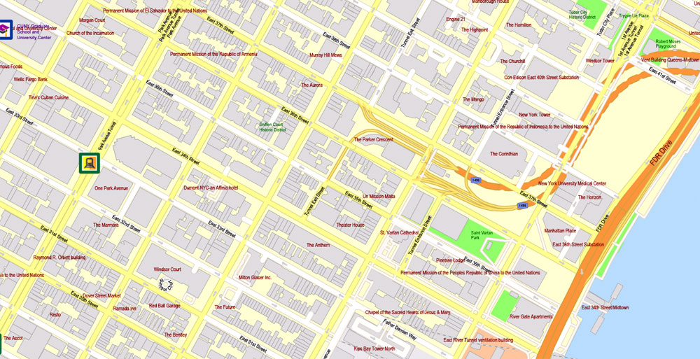
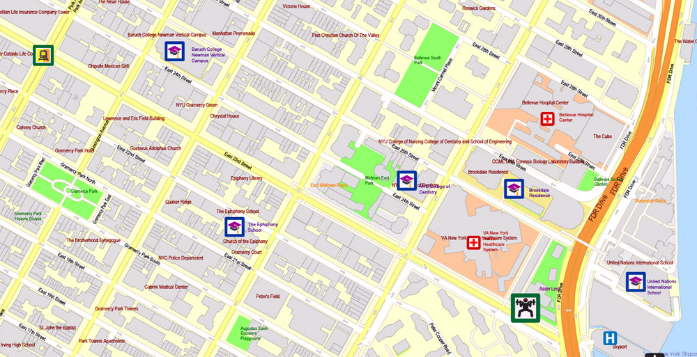
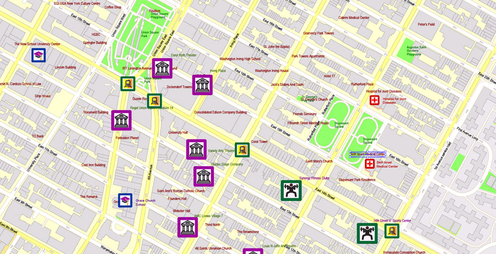
On the map: All streets and roads, theatres, amusement, stadiums and sport objects, aeroports and heliports, names objects and areas and principal buildings, transport stations, parks and other land-use objects (green), schools and university, hotels with names, etc.
The most exact and detailed map of the city.
For High-Quality Printing.
New York, USA.
This vector map of New York city is used as a basis for design, editing, and further printing.
This is the most detailed, exact map of New York city for high-quality printing and polygraphy. You can always clarify the map development date by contacting us.
For your convenience, all objects on New York vector city map are divided into layers. And the editing is very easy – colors, lines, etc.
You can easily add any objects needed (e.g. shops, salons, sale points, gas station or attraction) on any layer of New York vector map.
The City of New York, is the most populous city in the United States. With an estimated 2017 population of 8,622,698 distributed over a land area of about 302.6 square miles (784 km2), New York City is also the most densely populated major city in the United States. Located at the southern tip of the state of New York, the city is the center of the New York metropolitan area, the largest metropolitan area in the world by urban landmass and one of the world’s most populous megacities, with an estimated 20,320,876 people in its 2017 Metropolitan Statistical Area and 23,876,155 residents in its Combined Statistical Area.
One of the advantages of New York city vector maps of our production is the relevance of cartographic data, we constantly update all our products.
This vector map of New York city is used by:
designers, layout designers, printers, advertisers and architects. Our product – vector maps – is designed for further editing and printing in large formats – from @Wall format (a few meters) to A-0 and A-1, A-2, A-3.
The New York city map in vector format is used for design, urban planning, presentations and media visualizations.
The advertising and presentation map of New York city (usually the final designer marks the routes, and puts the client’s objects (shops, saloons, gas stations etc.)
The undoubted advantage is that people will NEVER throw out this advertising product – the map. In fact, as an advertising medium, a city map is the most “long-playing” of the well-known polygraphic advertising media, with the longest lifespan, and the maximum number of interactions with the customer.
A global power city, New York City has been described uniquely as the cultural, financial, and media capital of the world, and exerts a significant impact upon commerce, entertainment, research, technology, education, politics, tourism, art, fashion, and sports. The city’s fast pace has inspired the term New York minute. Home to the headquarters of the United Nations, New York is an important center for international diplomacy.
For travelers, maps are sold at the airports and gas stations around the world. Often the source is our vector maps.
Take a look, who purchases our vector maps of New York city in “Our Clients and Friends” page – these are large and small companies, from super-brands like Volvo and Starbucks, to small design studios and printing houses.
It’s very easy to work with vector maps of New York city, even for a not very experienced designer who can turn on and off the map layers, add new objects, change the colors of fill and lines according to customer requirements.
The undoubted advantage of New York city vector maps in printing is an excellent and detailed visualization, when customer can expand a large paper map and instantly define his location, find a landmark, an object or address on map, unlike using the popular electronic formats of Google and Yandex maps for example.
Printable vector maps of New York city are much more convenient and efficient than any electronic maps on your smartphone, because ALL DETAILS are displayed in the entire space of New York city map.
Useful tips on working with vector maps of cities and countries in Adobe Illustrator.
«V» – launches the Selection tool (cursor, black arrow), which makes active any vector line.
«А» – launches the Direct Selection tool (white cursor), allows you to select curve elements and drag them to the desired place.
«R» – activates the Rotate tool, which helps you rotating selected objects around the center point by 360 degrees.
«E» – gives you the opportunity to use the Eraser tool and erase unnecessary parts.
«X» – switches between Fill and Stroke in the Tools section. Try to get used to this hot key and
you will quickly understand that you can’t live and work without it.
Situated on one of the world’s largest natural harbors, New York City consists of five boroughs, each of which is a separate county of the State of New York. The five boroughs – Brooklyn, Queens, Manhattan, The Bronx, and Staten Island – were consolidated into a single city in 1898. The city and its metropolitan area constitute the premier gateway for legal immigration to the United States. As many as 800 languages are spoken in New York, making it the most linguistically diverse city in the world. New York City is home to more than 3.2 million residents born outside the United States, the largest foreign-born population of any city in the world. In 2017, the New York metropolitan area produced a gross metropolitan product (GMP) of US$1.73 trillion.
Guides are not limited to vertical and horizontal in Adobe Illustrator. You can also create a diagonal guide for example. Moreover, you can turn any contours into guides. Select the outline and go to View > Guides > Make Guides (Create Guides), or simply press Cmd/Ctrl + 5. You can also turn the guides back into an editable object. Go to menu, View > Guides > Unlock Guides (Release Guides), select the guide you want to edit and select View > Guides > Release Guides (Reset Guides), or just press Cmd/Ctrl + Option / Alt + 5).
You will probably want to change the color scheme used on our New York vector city map.
To quickly and effectively play with colors.
Of course, you can do it manually, all objects in our New York city vector map are divided according to types and layers, and you can easily change the color gamma of vector objects in groups and layers.
But there is more effective way of working with the whole VECTOR MAP of New York city and all layers:
The overview dialog «Edit colors»/«Repaint Graphic Object» (this dialog box name can change depending on the context):
If you have selected a part or a layer of New York city vector map and open the dialog box by clicking the icon in the Control panel, on the Samples palette or the Color Catalog, or if you choose Edit > Edit Colors> Repaint Graphic Object, then the «Repaint Graphic Object» dialog box appears, and you get access to «Assign» and «Edit» tabs.
If greater New York City were a sovereign state, it would have the 12th highest GDP in the world. New York City traces its origins to a trading post founded by colonists from the Dutch Republic in 1624 on Lower Manhattan; the post was named New Amsterdam in 1626. The city and its surroundings came under English control in 1664 and were renamed New York after King Charles II of England granted the lands to his brother, the Duke of York. New York served as the capital of the United States from 1785 until 1790. It has been the country’s largest city since 1790. The Statue of Liberty greeted millions of immigrants as they came to the Americas by ship in the late 19th and early 20th centuries and is a world symbol of the United States and its ideals of liberty and peace. In the 21st century, New York has emerged as a global node of creativity and entrepreneurship, social tolerance, and environmental sustainability, and as a symbol of freedom and cultural diversity.
If a picture or a map fragment is not selected, and you open the dialog box by clicking the icon in the Control panel, on the Samples palette or in the Color Catalog, the «Edit Colors» dialog box appears and you can only access the «Edit» tab.
Regardless of the name at the top of the dialog box, the right-hand side always displays the color group of the current document, as well as two default color groups: Print Color and Grayscale. These color groups can be selected and used any time.
Create and edit color groups of New York city vector map, and also assign colors using the «Edit Colors»/ а «Repaint Graphic Object» dialog box.
A. Creating and editing of a color group on the «Edit» tab
B. Assigning colors on the «Assign» tab
C. Select a group of colors from the «Color groups» list
The option «Repaint a graphic object» in the lower part of the dialog box allows you to preview the colors on a selected layer of Vector map, or a group of elements, and specify whether its colors will be redefined when the dialog box is closed.
The main areas of the dialog box are:
«Edit»
The «Edit» tab is designed to create a new or edit the existing color groups.
The harmony rules Menu and the Color Wheel are used to conduct experiments with color harmonies. The color wheel shows how colors are related in color harmony, and the color bars allow you to view and manipulate an individual color values. In addition, you can adjust the brightness, add and remove colors, save color groups and view colors on the selected Vector Map of New York city or a separated layers.
«Assign»
The «Assign» tab is used to view and control on how the original colors are replaced with colors from the color group like your corporate colors in the Vector Map of New York city.
Many districts and landmarks in New York City are well known, with the city having three of the world’s ten most visited tourist attractions in 2013 and receiving a record 62.8 million tourists in 2017. Several sources have ranked New York the most photographed city in the world. Times Square, iconic as the world’s “heart” and its “Crossroads”, is the brightly illuminated hub of the Broadway Theater District, one of the world’s busiest pedestrian intersections, and a major center of the world’s entertainment industry. The names of many of the city’s landmarks, skyscrapers, and parks are known around the world. Manhattan’s real estate market is among the most expensive in the world.
The assign color ability is provided only if the entire map, layer or fragment is selected in the document. You can specify which of new colors replace the current colors, whether the spot colors should be preserved and how colors are replaced (for example, you can replace colors completely or changing the color tone while maintaining the brightness). The «Assign» tab allows you to redefine colors in the Vector Map of New York city, or in separate layers and fragments using the current color group or reducing the number of colors in the current Vector Map.
Color groups
Is a list of all saved color groups for current document (the same groups appear in the «Samples» palette). You can edit and delete the existing color groups, as well as creating a new ones using the list of “Color Groups” in the dialog box. All changes appear in the «Samples» palette.
The highlighted color group shows, which color group is currently edited.
Any color group can be selected and edited, or used to redefine the colors in the selected vector map of New York city, its fragments or elements.
New York is home to the largest ethnic Chinese population outside of Asia, with multiple signature Chinatowns developing across the city. Providing continuous 24/7 service, the New York City Subway is the largest single-operator rapid transit system worldwide, with 472 rail stations. Over 120 colleges and universities are located in New York City, including Columbia University, New York University, and Rockefeller University, which have been ranked among the top universities in the world. Anchored by Wall Street in the Financial District of Lower Manhattan, it has been called both the most economically powerful city and the leading financial center of the world, and the city is home to the world’s two largest stock exchanges by total market capitalization, the New York Stock Exchange and NASDAQ.
Saving a color group adds this group to the specified list.
Opening the «Edit Colors»/«Repaint Graphic Object» dialog box.
Open the «Edit Colors»/«Repaint Graphic Object» dialog box using one of the following methods:
«Edit»> «Edit Colors»> «Repaint Graphic object» or «Repaint With Style».
Use these commands if you need to edit the colors in the selected vector map of New York city.
«Repaint Graphic object» button on the «Control» panel.
Use this button if you need to adjust colors of New York city vector map using the а «Repaint graphic object» dialog box.
The specified button is available if the selected vector map or its fragment contains two or more colors.
Note. This color editing method is convenient for global color adjustment in a vector map, if global colors were not used when creating a City Map of New York.
Geography
Main articles: Geography of New York City and Geography of New York Harbor
The core of the New York City Metropolitan Area, with Manhattan Island at its center
New York City is situated in the Northeastern United States, in southeastern New York State, approximately halfway between Washington, D.C. and Boston. The location at the mouth of the Hudson River, which feeds into a naturally sheltered harbor and then into the Atlantic Ocean, has helped the city grow in significance as a trading port. Most of New York City is built on the three islands of Long Island, Manhattan, and Staten Island.
The «Edit colors» button or «Edit or apply colors» on the «Color Catalog» palette
Click this button if you need to edit colors on the «Color Catalog» palette or edit and then apply them to the selected Vector Map of New York city or its fragment.
The «Edit color group» button or «Edit or apply color group» on the «Samples» palette.
Click this button if you need to edit the colors in the specific color group or edit and apply them to the selected Vector Map of New York city or a group of its elements, for example, the whole layer “Streets and lines”. You can also double-click the color group in the Samples panel to open the dialog box.
The Hudson River flows through the Hudson Valley into New York Bay. Between New York City and Troy, New York, the river is an estuary. The Hudson River separates the city from the U.S. state of New Jersey. The East River—a tidal strait—flows from Long Island Sound and separates the Bronx and Manhattan from Long Island. The Harlem River, another tidal strait between the East and Hudson Rivers, separates most of Manhattan from the Bronx. The Bronx River, which flows through the Bronx and Westchester County, is the only entirely fresh water river in the city.
If the map file is too large and your computer freezes or even can’t open it quickly:
1. Try to reduce the color resolution of the video card (display) to 256 colors while working with a large map.
2. Using Windows Task Manager, select all the application you don’t need, while working with map, just turn them off.
3. Launch Adobe Illustrator. (DO NOT OPEN the vector map file)
4. Start the Windows Task Manager using administrator rights > Find the “Illustrator” process > set the «real time» priority,
5. Open the file. When you see the LEGACY FONT popup window – click “OK” (do not update). You can restore the TEXT later.
6. Can also be useful: When file is opened – Edit > Settings > Basic Settings > disable smoothing. /// It looks scary, but works quickly)))
We recommend saving the file in Adobe Illustrator 10 version. It’s much more stable when working with VERY BIG size files.
The city’s land has been altered substantially by human intervention, with considerable land reclamation along the waterfronts since Dutch colonial times; reclamation is most prominent in Lower Manhattan, with developments such as Battery Park City in the 1970s and 1980s. Some of the natural relief in topography has been evened out, especially in Manhattan.
The city’s total area is 468.484 square miles (1,213.37 km2), including 302.643 sq mi (783.84 km2) of land and 165.841 sq mi (429.53 km2) of this is water. The highest point in the city is Todt Hill on Staten Island, which, at 409.8 feet (124.9 m) above sea level, is the highest point on the Eastern Seaboard south of Maine. The summit of the ridge is mostly covered in woodlands as part of the Staten Island Greenbelt.
Boroughs
The five boroughs of New York City:
1. Manhattan
2. Brooklyn
3. Queens
4. The Bronx
5. Staten Island
New York City is often referred to collectively as the five boroughs, and in turn, there are hundreds of distinct neighborhoods throughout the boroughs, many with a definable history and character to call their own. If the boroughs were each independent cities, four of the boroughs (Brooklyn, Queens, Manhattan, and the Bronx) would be among the ten most populous cities in the United States (Staten island would be ranked 37th) ; these same boroughs are coterminous with the four most densely populated counties in the United States (New York [Manhattan], Kings [Brooklyn], Bronx, and Queens).
Manhattan (New York County) is the geographically smallest and most densely populated borough, is home to Central Park and most of the city’s skyscrapers, and may be locally known simply as The City. Manhattan’s (New York County’s) population density of 72,033 people per square mile (27,812/km²) in 2015 makes it the highest of any county in the United States and higher than the density of any individual American city. Manhattan is the cultural, administrative, and financial center of New York City and contains the headquarters of many major multinational corporations, the United Nations Headquarters, Wall Street, and a number of important universities. Manhattan is often described as the financial and cultural center of the world.
Most of the borough is situated on Manhattan Island, at the mouth of the Hudson River. Several small islands also compose part of the borough of Manhattan, including Randall’s Island, Wards Island, and Roosevelt Island in the East River, and Governors Island and Liberty Island to the south in New York Harbor. Manhattan Island is loosely divided into Lower, Midtown, and Uptown regions. Uptown Manhattan is divided by Central Park into the Upper East Side and the Upper West Side, and above the park is Harlem. The borough also includes a small neighborhood on the United States mainland, called Marble Hill, which is contiguous with The Bronx. New York City’s remaining four boroughs are collectively referred to as the outer boroughs.
Brooklyn (Kings County), on the western tip of Long Island, is the city’s most populous borough. Brooklyn is known for its cultural, social, and ethnic diversity, an independent art scene, distinct neighborhoods, and a distinctive architectural heritage. Downtown Brooklyn is the largest central core neighborhood in the outer boroughs. The borough has a long beachfront shoreline including Coney Island, established in the 1870s as one of the earliest amusement grounds in the country. Marine Park and Prospect Park are the two largest parks in Brooklyn. Since 2010, Brooklyn has evolved into a thriving hub of entrepreneurship and high technology startup firms, and of postmodern art and design.
Queens (Queens County), on Long Island north and east of Brooklyn, is geographically the largest borough, the most ethnically diverse county in the United States, and the most ethnically diverse urban area in the world. Historically a collection of small towns and villages founded by the Dutch, the borough has since developed both commercial and residential prominence. Downtown Flushing has become one of the busiest central core neighborhoods in the outer boroughs. Queens is the site of Citi Field, the baseball stadium of the New York Mets, and hosts the annual U.S. Open tennis tournament at Flushing Meadows-Corona Park. Additionally, two of the three busiest airports serving the New York metropolitan area, John F. Kennedy International Airport and LaGuardia Airport, are located in Queens. (The third is Newark Liberty International Airport in Newark, New Jersey.)
Staten Island (Richmond County) is the most suburban in character of the five boroughs. Staten Island is connected to Brooklyn by the Verrazano-Narrows Bridge, and to Manhattan by way of the free Staten Island Ferry, a daily commuter ferry which provides unobstructed views of the Statue of Liberty, Ellis Island, and Lower Manhattan. In central Staten Island, the Staten Island Greenbelt spans approximately 2,500 acres (10 km2), including 28 miles (45 km) of walking trails and one of the last undisturbed forests in the city. Designated in 1984 to protect the island’s natural lands, the Greenbelt comprises seven city parks.
The Bronx (Bronx County) is New York City’s northernmost borough and the only New York City borough with a majority of it a part of the mainland United States. It is the location of Yankee Stadium, the baseball park of the New York Yankees, and home to the largest cooperatively owned housing complex in the United States, Co-op City. It is also home to the Bronx Zoo, the world’s largest metropolitan zoo, which spans 265 acres (1.07 km2) and houses over 6,000 animals. The Bronx is also the birthplace of rap and hip hop culture. Pelham Bay Park is the largest park in New York City, at 2,772 acres (1,122 ha).
Parks
The City of New York has a complex park system, with various lands operated by the National Park Service, the New York State Office of Parks, Recreation and Historic Preservation, and the New York City Department of Parks and Recreation.
In its 2018 ParkScore ranking, The Trust for Public Land reported that the park system in New York City was the ninth best park system among the fifty most populous U.S. cities. ParkScore ranks urban park systems by a formula that analyzes median park size, park acres as percent of city area, the percent of city residents within a half-mile of a park, spending of park services per resident, and the number of playgrounds per 10,000 residents.
Geography of New York–New Jersey Harbor Estuary
The New York–New Jersey Harbor Estuary, also known as the Hudson-Raritan Estuary, is in the Mid-Atlantic states of New Jersey and New York on the East Coast of the United States. The system of waterways of the Port of New York and New Jersey forms one of the most intricate natural harbors in the world. The harbor opens onto the New York Bight in the Atlantic Ocean to the southeast and Long Island Sound to the northeast.
Although the overall form of the estuary remains unchanged from the time of Giovanni da Verrazzano’s visit in 1524, no part of it remains unaffected by human activity, and some parts, such as Hell Gate and Ellis Island, have been almost completely altered. In the greatest hidden change, the navigational channels have been deepened from the natural 17 feet (5.2 m) depth to 45 feet (14 m), in some places requiring blasting of bedrock.
There is an extremely complex system of tides and currents. Both the Bight and the Sound are essentially marine bodies with both tides and saltwater, but the Sound compared to the Atlantic is about 20-30% less saline (as an estuary), and the tide is about 3 hours later with as much as 70% more variation. Rivers add a fresher, non-tidal inflow although the tide and brackishness extend well up rivers throughout the extended hydrologic system from Albany to Montauk Point to the Hudson Canyon region of the New York Bight. The New York Harbor Observing and Prediction System (NYHOPS) utilizes information from sensors, weather forecasts, and environment models to provide real-time forecasts of meteorological and oceanographic conditions in the area.
New York City
New York City comprises 5 boroughs sitting where the Hudson River meets the Atlantic Ocean. At its core is Manhattan, a densely populated borough that’s among the world’s major commercial, financial and cultural centers. Its iconic sites include skyscrapers such as the Empire State Building and sprawling Central Park. Broadway theater is staged in neon-lit Times Square.
Area
• Total 468.484 sq mi (1,213.37 km2)
• Land 302.643 sq mi (783.84 km2)
• Water 165.841 sq mi (429.53 km2)
• Metro 13,318 sq mi (34,490 km2)
Elevation 33 ft (10 m)
Population • Total 8,175,133
• Estimate 8,537,673
• Rank 1st, U.S.
• Density 28,210/sq mi (10,890/km2)
• MSA 20,153,634 (1st)
• CSA 23,689,255 (1st)

Free Download Vector Map US County and State Adobe Illustrator
Free_Vector_Map_US_States_County_Map.ai
Free Download Vector Map US County and State Adobe PDF
Free_Vector_Map_US_States_County_Map.pdf

Free Download Vector Map US With States Names, Adobe Illustrator
Free_Map_of_USA_with_state_names_en.ai
Free Download Vector Map US With States Names, Adobe PDF
Free_Map_of_USA_with_state_names_en.pdf
From WIKI
Free vector map World, Adobe Illustrator, download now maps vector clipart
Map for design, projects, presentation free to use as you like.
See also: TERMS & CONDITIONS: SOFTWARE LICENSE AGREEMENT FOR DIGITAL CARTOGRAPHIC DATA.
Need more USA Vector Maps, printable and editable?


 Author: Kirill Shrayber, Ph.D. FRGS


