Extended Description of the Vector Map
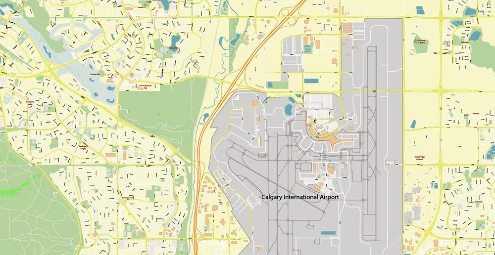
Calgary is a major city in the province of Alberta, surrounded by the majestic Rocky Mountains and magnificent manicured parks. Calgary International Airport, located 18 km from the center, accepts many planes with ski tourists. Because only three hours drive separates Calgary from the resorts of Fernier, Kimberley, and others.
Transport
C-Train is a Calgary light rail service that currently operates two lines. With a total length of 48.8 km, they connect the city center with its north-eastern, north-western, and southern districts. Simply put, a C-Train is a cross between a tram and a subway.
Line 201, which includes 28 stations (36.3 km), can be reached in 55 minutes. Line 202 (19 stations and 14.5 km) – in half an hour. The C-Train fare is ~3.00 CAD (the ticket is valid for 90 minutes). At the same time, nine stations located in the center of Calgary, along Seventh Avenue, which use both lines, are free of charge.
Entertainment and sightseeing
It is worth climbing the Calgary Tower, 91 m high, which offers a beautiful panorama. The tower is designed in such a way that it can sway slightly in the wind while maintaining its stability.
Also of interest: Galaway Park — the second largest amusement park in Canada; the zoo, which is considered one of the best in Canada; the historic Fort Calgary Park and the famous Olympic Park with sports entertainment.
The city is famous for the annual rodeo Calgary Stampede and Exhibition: parades, performances, competitions are held for 10 days starting from the second week of July. Professionals and amateurs must last at least 8 seconds on the back of an unbroken horse, tame a wild mustang, or throw a lasso on a bull in 10 seconds.
Tired of the abundance of attractions, you can take a stroll in the city’s indoor garden, Devonian Gardens.
Calgary Museums
Heritage Park — a huge open-air museum of history, which presents the history of the city of the late 19th — early 20th centuries.
The Glenbow Museum is Calgary’s largest art gallery of contemporary Canadian artists and Eskimo art (28,000 exhibits from the 19th and 21st centuries), the Telus Children’s Science Museum and Planetarium, the Royal Paleontological Museum, and the Navy Museum.
The climate is temperate and dry, with rare rains in the spring, but snow can be almost at any time of the year, even in late spring and summer, due to the proximity of the mountains.” Chinook “(chinook — translated from the Indian “snow eater”) — a warm and dry wind blowing from the Rocky Mountains, which is a few hours raises the air temperature by more than +20 °C, turning winter into spring.
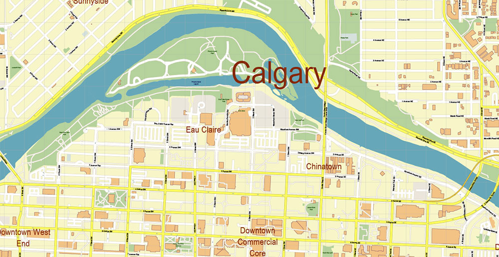
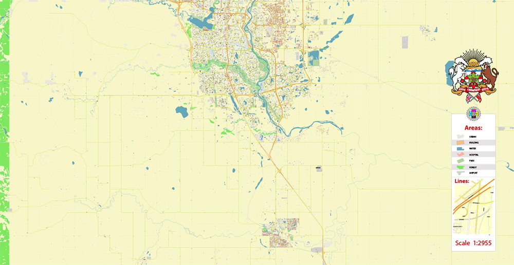
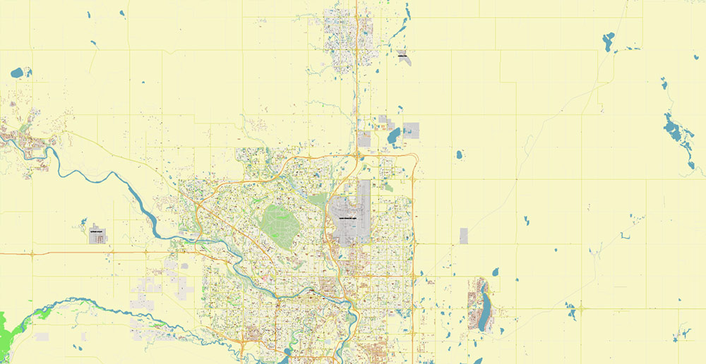
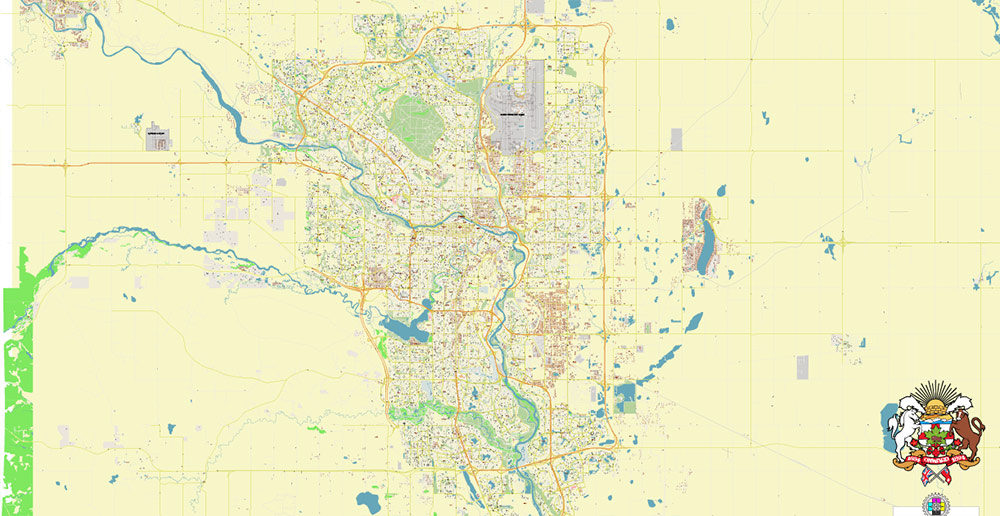
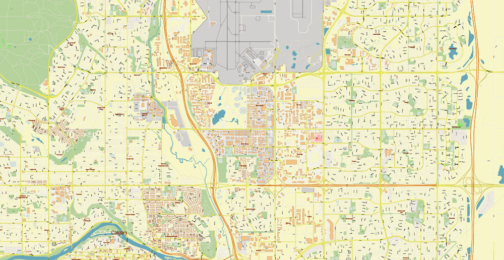
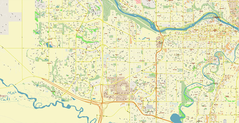
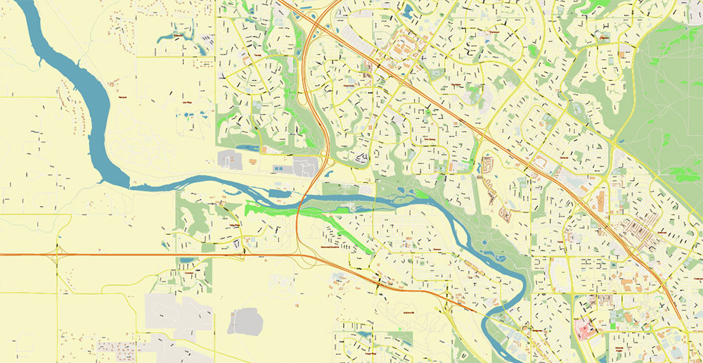
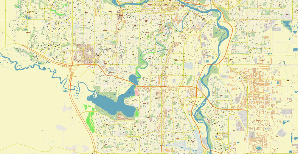
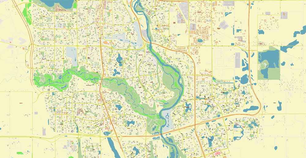
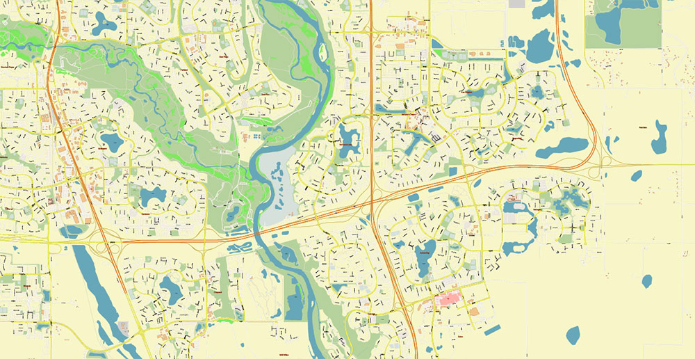
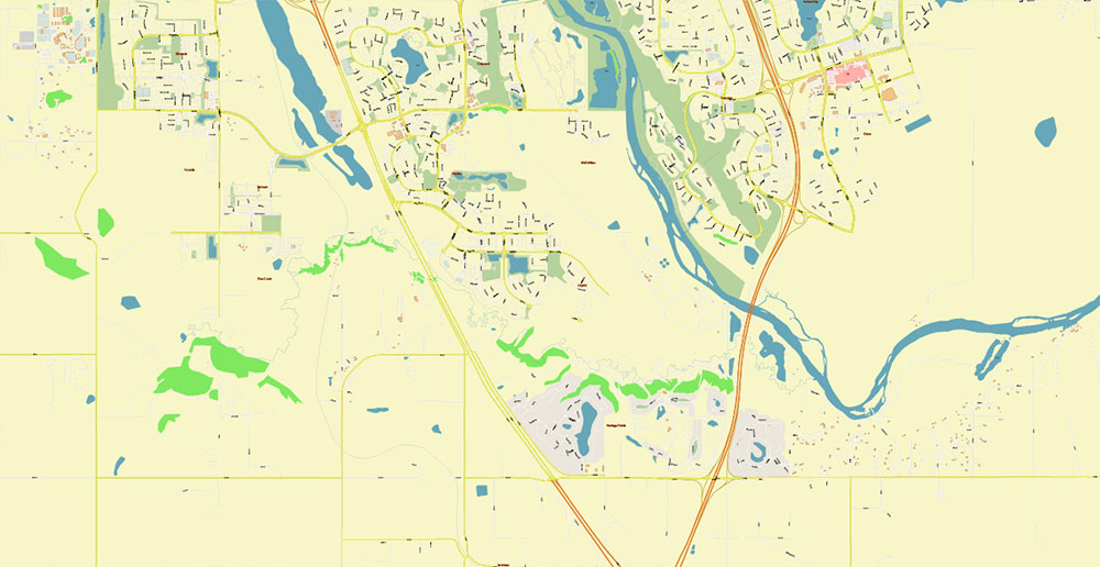
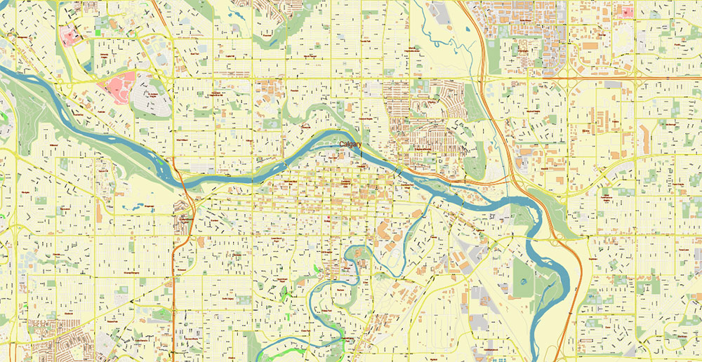
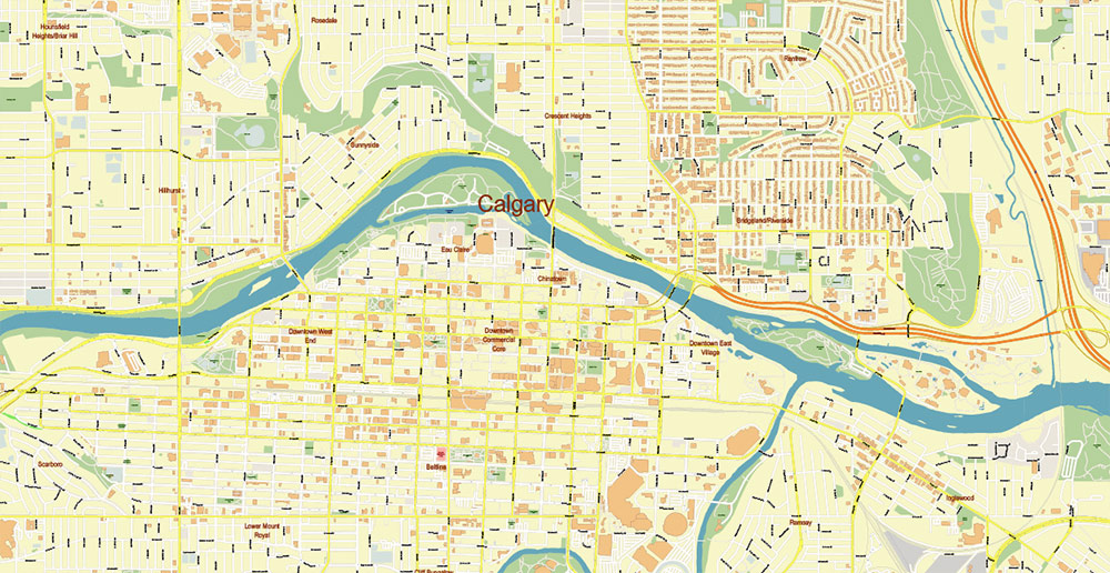
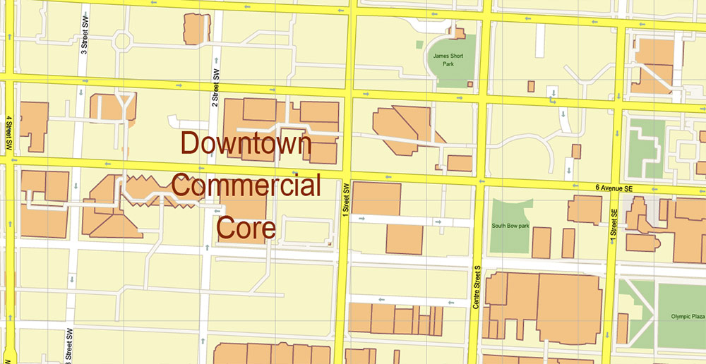
Printable Vector Map of Calgary Alberta Canada detailed City Plan scale 1:2955 full editable Adobe Illustrator Street Map in layers, scalable, text format all names, 18 MB ZIP
All street names, Main Objects, Buildings. Map for design, printing, arts, projects, presentations, for architects, designers, and builders, business, logistics.
Need AutoCAD DWG / DXF? Please, contact us!
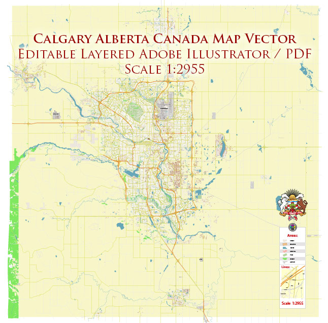
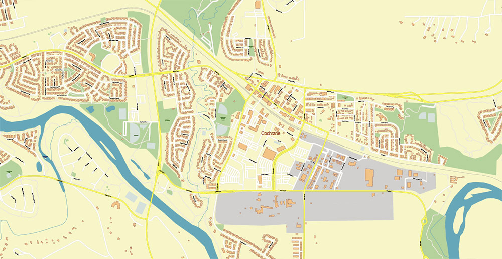
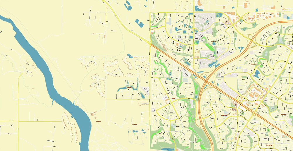
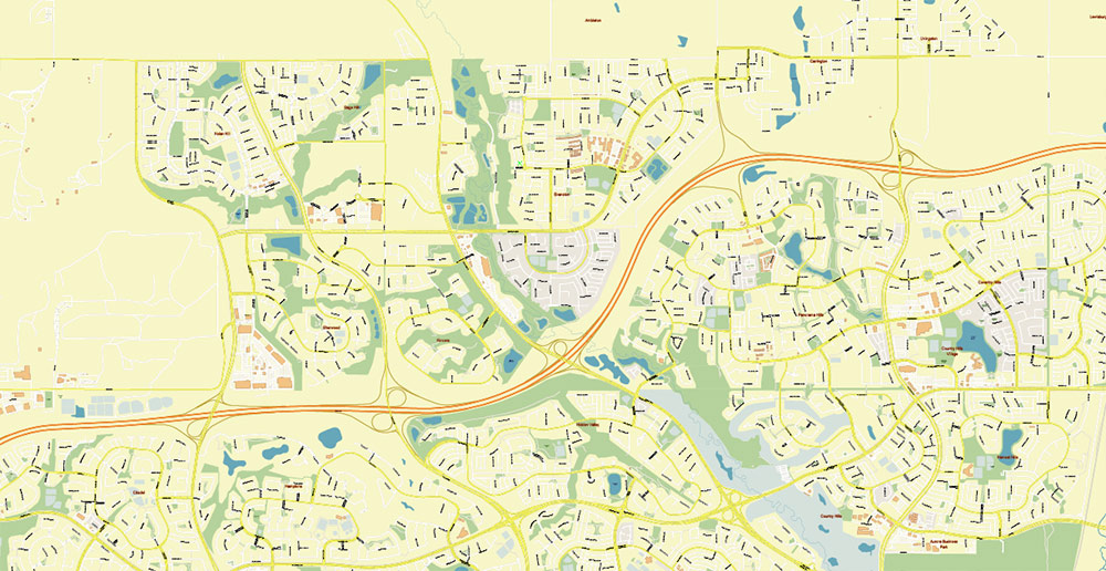
Calgary Alberta Canada Map Vector Accurate High Detailed City Plan editable Adobe Illustrator Street Map in layers
Layers list:
- Legend
- Grids
- Labels of roads
- Names of places (city, hamlet, etc.)
- Names of objects (hospitals, parks, water)
- Names of main streets
- Names of civil streets
- Main Streets, roads
- Civil streets
- Railroads
- Buildings
- Airports and heliports
- Water objects (rivers, lakes, ponds)
- Waterways
- Color fills (parks, hospital areas, land use, etc.)
- Background
Calgary Alberta Canada Map Vector Accurate High Detailed City Plan editable Adobe Illustrator Street Map in layers
Calgary Alberta Canada Map Vector Accurate High Detailed City Plan editable Adobe Illustrator Street Map in layers
Calgary Alberta Canada Map Vector Accurate High Detailed City Plan editable Adobe Illustrator Street Map in layers
Calgary Alberta Canada Map Vector Accurate High Detailed City Plan editable Adobe Illustrator Street Map in layers
Calgary Alberta Canada Map Vector Accurate High Detailed City Plan editable Adobe Illustrator Street Map in layers
Calgary Alberta Canada Map Vector Accurate High Detailed City Plan editable Adobe Illustrator Street Map in layers
Calgary Alberta Canada Map Vector Accurate High Detailed City Plan editable Adobe Illustrator Street Map in layers
Calgary Alberta Canada Map Vector Accurate High Detailed City Plan editable Adobe Illustrator Street Map in layers
Calgary Alberta Canada Map Vector Accurate High Detailed City Plan editable Adobe Illustrator Street Map in layers
Calgary Alberta Canada Map Vector Accurate High Detailed City Plan editable Adobe Illustrator Street Map in layers
Calgary Alberta Canada Map Vector Accurate High Detailed City Plan editable Adobe Illustrator Street Map in layers
Calgary Alberta Canada Map Vector Accurate High Detailed City Plan editable Adobe Illustrator Street Map in layers
Calgary Alberta Canada Map Vector Accurate High Detailed City Plan editable Adobe Illustrator Street Map in layers
Calgary Alberta Canada Map Vector Accurate High Detailed City Plan editable Adobe Illustrator Street Map in layers
Calgary Alberta Canada Map Vector Accurate High Detailed City Plan editable Adobe Illustrator Street Map in layers
Calgary Alberta Canada Map Vector Accurate High Detailed City Plan editable Adobe Illustrator Street Map in layers
Calgary Alberta Canada Map Vector Accurate High Detailed City Plan editable Adobe Illustrator Street Map in layers
Calgary Alberta Canada Map Vector Accurate High Detailed City Plan editable Adobe Illustrator Street Map in layers

 Author: Kirill Shrayber, Ph.D. FRGS
 Street Map editable Adobe Illustrator in layers")


