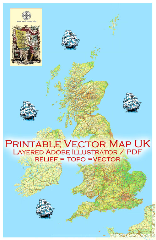
The geographical description of the United Kingdom (UK), which includes Great Britain and Northern Ireland, along with the Republic of Ireland, can be summarized as follows:
- Great Britain:
- Great Britain is the largest island in the British Isles, located in northwestern Europe.
- It comprises three countries: England, Scotland, and Wales.
- England is the largest and southernmost country, with a diverse landscape, including rolling hills, plains, and urban areas.
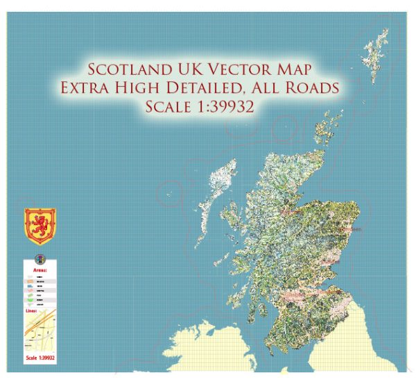
- Scotland, located to the north, is known for its rugged terrain, including the Scottish Highlands and Lowlands.
- Wales, to the west, features mountainous regions, such as Snowdonia and the Brecon Beacons, along with a rugged coastline.
- Great Britain is surrounded by the North Sea to the east, the English Channel to the south, the Irish Sea to the west, and the Atlantic Ocean to the northwest.
- Northern Ireland:
- Northern Ireland is located on the northeastern part of the island of Ireland.
- It is one of the four constituent countries of the United Kingdom, along with England, Scotland, and Wales.
- Northern Ireland is known for its green landscapes, including rolling hills, forests, and lakes.
- Belfast is the capital and largest city of Northern Ireland.
- Republic of Ireland (Full Ireland):
- The Republic of Ireland occupies most of the island of Ireland.
- It is an independent sovereign state, distinct from the United Kingdom.
- The country has a diverse landscape, with lush countryside, numerous lakes, and a rugged western coastline.
- Dublin is the capital and largest city of the Republic of Ireland.
- Shared Borders:
- The Republic of Ireland shares a land border with Northern Ireland.
- This border is significant historically and politically due to its role in the complex relationship between the two entities and the Good Friday Agreement.
- Geography of the British Isles:
- The British Isles as a whole consist of the islands of Great Britain, Ireland (both Northern Ireland and the Republic of Ireland), and numerous smaller islands.
- The region has a maritime climate with moderate temperatures, significant rainfall, and diverse ecosystems.
- Bodies of Water:
- The British Isles are surrounded by several bodies of water, including the North Sea, the English Channel, the Irish Sea, and the Atlantic Ocean.
- Numerous rivers, such as the Thames, the Severn, and the Shannon, flow through the region.
This geographical overview outlines the main features and distinctions between Great Britain, Northern Ireland, and the Republic of Ireland within the British Isles.


 Author: Kirill Shrayber, Ph.D.