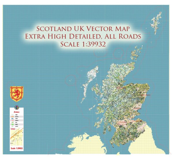
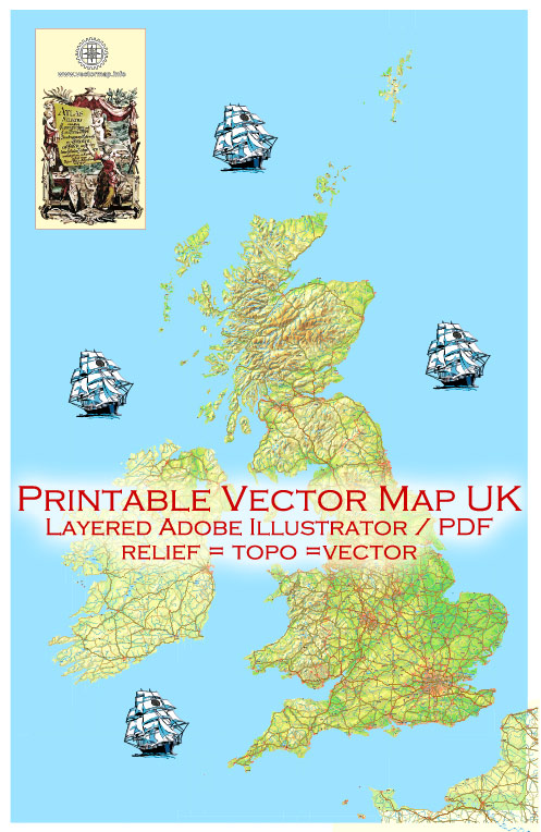
The United Kingdom (UK) consists of Great Britain and Northern Ireland, while the term “Full Ireland” typically refers to the entire island of Ireland, which includes the Republic of Ireland (an independent country) and Northern Ireland (part of the UK). Here are some of the principal rivers in the UK, Great Britain, and the island of Ireland:
Principal Rivers of Great Britain:
- River Thames: Flowing through southern England, the Thames is the longest river in England and one of the most iconic. It passes through London and is known for its historical and cultural significance.
- River Severn: The River Severn is the longest river in the UK and flows through Wales and England. It has a significant impact on the surrounding landscapes.
- River Tyne: The River Tyne runs through the northeastern part of England, serving as a natural boundary between Northumberland and Tyne and Wear.
- River Mersey: The Mersey flows through the Northwest of England and is associated with cities like Liverpool and Manchester.
- River Clyde: The River Clyde is the principal river in Scotland, flowing through Glasgow and eventually reaching the Firth of Clyde on the west coast.
Principal Rivers of Northern Ireland:
- River Bann: The River Bann is the longest river in Northern Ireland and flows through the counties of Derry and Antrim.
- River Lagan: The River Lagan runs through Belfast, the capital of Northern Ireland, and flows into Belfast Lough.
Principal Rivers of the Republic of Ireland:
- River Shannon: The River Shannon is the longest river in Ireland, flowing through the central part of the country. It forms several lakes and provides a crucial waterway for transportation and recreation.
- River Liffey: The River Liffey flows through Dublin, the capital of the Republic of Ireland, and into Dublin Bay.
- River Suir: The River Suir is one of Ireland’s major rivers, running through the southeastern part of the country and passing by the city of Waterford.
- River Lee: The River Lee flows through Cork and is significant for the southern part of the country.
These are some of the principal rivers in the UK, Great Britain, and the island of Ireland. Each river has its own unique features and plays an essential role in the regions they traverse, both in terms of nature and culture.


 Author: Kirill Shrayber, Ph.D.