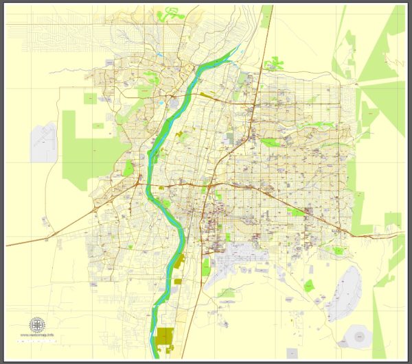
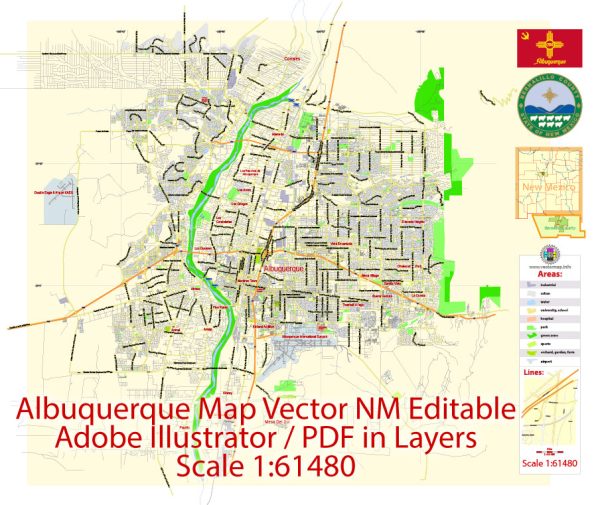
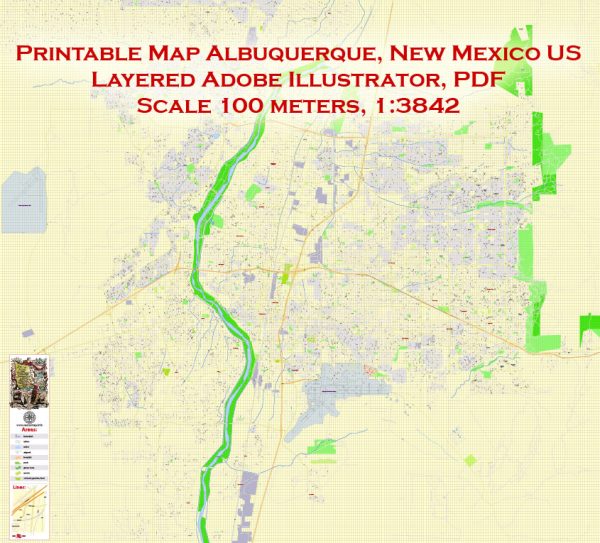
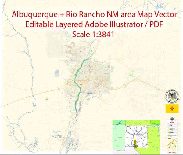
Vector Maps of the Albuquerque, New Mexico’s largest city : sits in the high desert. Its modern Downtown core contrasts with Old Town Albuquerque, dating to the city’s 1706 founding as a Spanish colony. Old Town is filled with historic adobe buildings, such as San Felipe de Neri Church, 5 museums, and shops selling Native American handicrafts. Nearby, The Indian Pueblo Cultural Center traces the area’s tribal history.
Elevation: 1,619 m
Area: 489.2 km²
Population: 563,674
Instant download archives: royalty free, editable vector maps of Albuquerque New Mexico in high resolution digital PDF and Adobe Illustrator format.
Albuquerque NM geographical dataCity Name: Albuquerque |
Small towns nearby:Belen NM |
Large cities nearby:Santa Fe NM street map |
All of our editable Albuquerque New Mexico vector maps are digital files,
which can be instantly downloaded in editable PDF or Adobe Illustrator format.
Objects on maps are usually divided into layers according to their types – lines, polygons, street names, object names (see map description!!!!)
Each of our Albuquerque New Mexico digital maps is available in Adobe Illustrator or editable PDF format, (or on request in any other known format for the same price)
which use a vector approach to display images,
you can easily enlarge any part of our maps without compromising text, line or graphic quality,
with any increase or decrease ratio.
Using a vector graphics editor such as Adobe Illustrator, CorelDraw, Inkscape, or Freehand
you can easily crop parts of the map, add custom characters, and change colors and font attributes as needed.
We have a variety of Albuquerque New Mexico vector maps with different levels of detail, from simple empty paths to highly detailed maps with roads and terrain layers.
Don’t see exactly what you’re looking for? Contact us to receive a special offer for an individual Albuquerque New Mexico map for your project.


 Author: Kirill Shrayber, Ph.D.