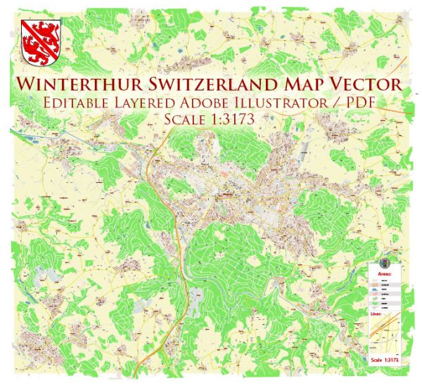
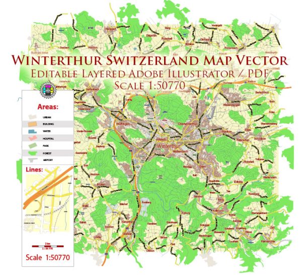
Winterthur Switzerland PDF Vector Map City Plan Low Detailed (for small print size) Street Map editable Adobe PDF in layers

  1. Home
  2. Europe maps
  3. Switzerland cities and country vector maps: PDF and Adobe Illustrator
  4. Winterthur Switzerland PDF Vector Map City Plan Low Detailed (for small print size) Street Map editable Adobe PDF in layers

WhatsApp us! If you have any questions, please, feel free to contact us via WhatsApp +1.829.4100078

We accept PayPal and all  Debit or Credit Cards | Instantly Download Your Map after payment.
Verified Seller 10+ years.

$ 19.00

Printable PDF Vector Map of Winterthur Switzerland Low Detailed (for small print size) City Plan scale 1:50770 full editable Adobe PDF  Street Map in layers, scalable, text / curves format  all names, 9 MB ZIP
Principal street names, Main Objects, Buildings. Map for design, printing, arts, projects, presentations, for architects, designers, and builders, business, logistics.
Need AutoCAD DWG / DXF  or any other format? Please, contact us!
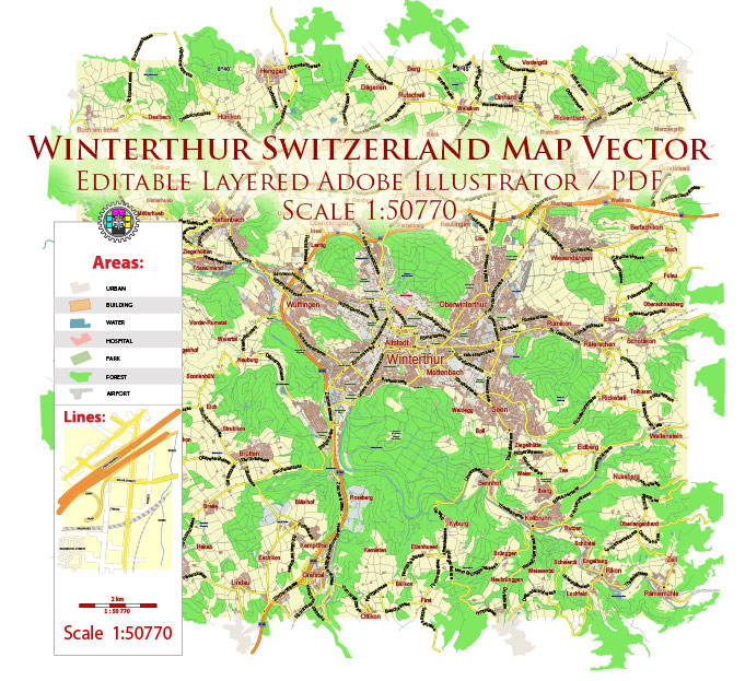
Layers list:

  1. Legend
  2. Grids
  3. Labels of roads
  4. Names of places (city, hamlet, etc.)
  5. Names of objects (hospitals, parks, water)
  6. Names of main streets
  7. Halo 1, 2, 3 names
  8. Main Streets, roads
  9. Civil streets
  10. Railroads
  11. Buildings
  12. Airports and heliports
  13. Water objects (rivers, lakes, ponds)
  14. Waterways
  15. Color fills (parks, hospital areas, land use, etc.)
  16. Background


SKU: 2020.23.12.WH.SWZ.GVL13B.PDF
Share this map for your friends!

Taxonomy: Product Tags for this Vector Map

AutoCAD Map Winterthur Switzerland, City Map Winterthur Switzerland, City Plan Winterthur Switzerland, CorelDraw Map Winterthur Switzerland, DWG Map Winterthur Switzerland, DXF Map Winterthur Switzerland, Editable Map Winterthur Switzerland, Illustrator Map Winterthur Switzerland, Map Winterthur Switzerland for Printing, PDF Map Winterthur Switzerland, printable map Winterthur Switzerland, Road Map Winterthur Switzerland, Street Map Winterthur Switzerland, Tourist Map Winterthur Switzerland, Urban Plan Winterthur Switzerland, Winterthur Switzerland City Vector Map, Winterthur Switzerland Map, Winterthur Switzerland Vector Map: PDF and Adobe Illustrator

Map Categories

Europe maps, Switzerland cities and country vector maps: PDF and Adobe Illustrator

Extended Description of the Vector Map

Printable PDF Vector Map of Winterthur Switzerland Low Detailed (for small print size) City Plan scale 1:50770 full editable Adobe PDF  Street Map in layers, scalable, text / curves format  all names, 9 MB ZIP
Principal street names, Main Objects, Buildings. Map for design, printing, arts, projects, presentations, for architects, designers, and builders, business, logistics.
Need AutoCAD DWG / DXF  or any other format? Please, contact us!

Winterthur Switzerland PDF Vector Map City Plan Low Detailed (for small print size) Street Map editable Adobe PDF in layers
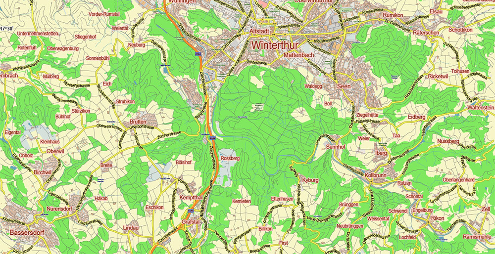
Winterthur Switzerland PDF Vector Map City Plan Low Detailed (for small print size) Street Map editable Adobe PDF in layers
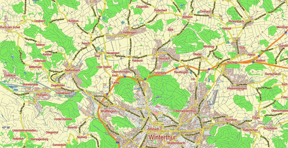
Layers list:

  1. Legend
  2. Grids
  3. Labels of roads
  4. Names of places (city, hamlet, etc.)
  5. Names of objects (hospitals, parks, water)
  6. Names of main streets
  7. Halo 1, 2, 3 names
  8. Main Streets, roads
  9. Civil streets
  10. Railroads
  11. Buildings
  12. Airports and heliports
  13. Water objects (rivers, lakes, ponds)
  14. Waterways
  15. Color fills (parks, hospital areas, land use, etc.)
  16. Background
Winterthur Switzerland PDF Vector Map City Plan Low Detailed (for small print size) Street Map editable Adobe PDF in layers
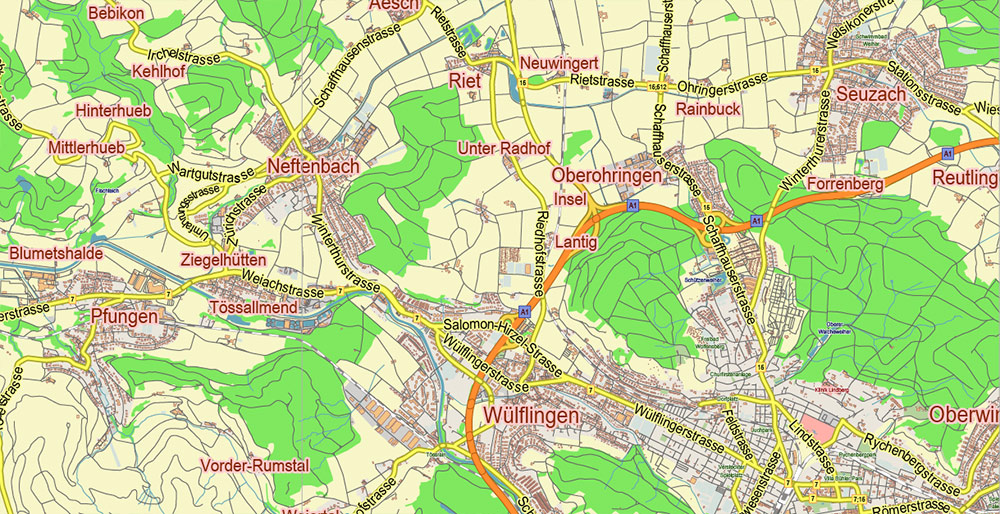
Winterthur Switzerland PDF Vector Map City Plan Low Detailed (for small print size) Street Map editable Adobe PDF in layers
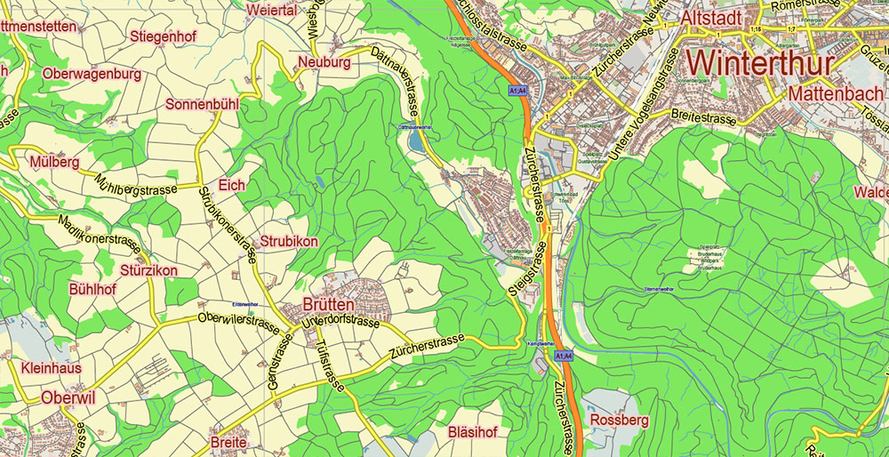
Winterthur Switzerland PDF Vector Map City Plan Low Detailed (for small print size) Street Map editable Adobe PDF in layers
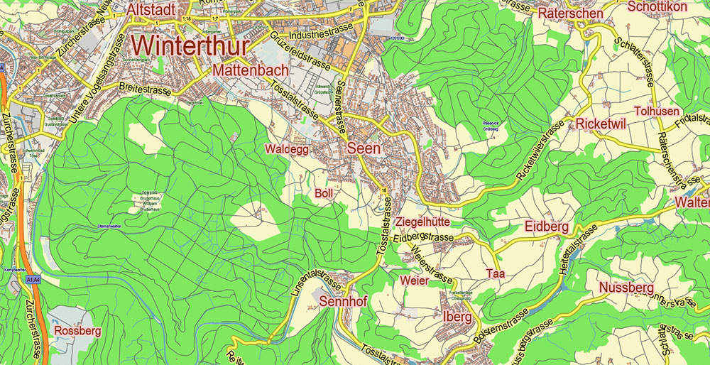
Winterthur Switzerland PDF Vector Map City Plan Low Detailed (for small print size) Street Map editable Adobe PDF in layers
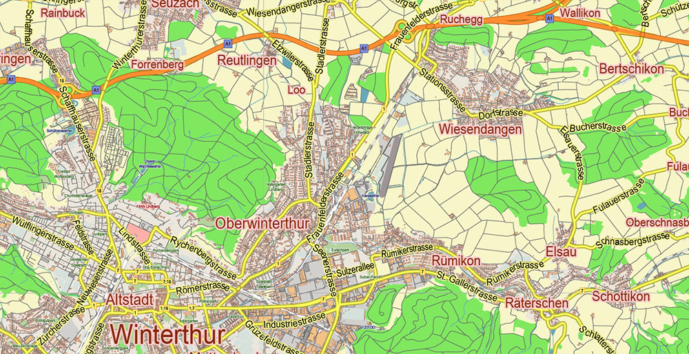
Winterthur Switzerland PDF Vector Map City Plan Low Detailed (for small print size) Street Map editable Adobe PDF in layers
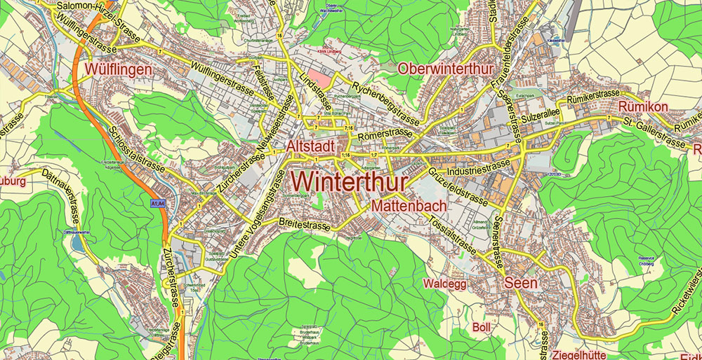
Winterthur Switzerland PDF Vector Map City Plan Low Detailed (for small print size) Street Map editable Adobe PDF in layers

Winterthur Switzerland PDF Vector Map City Plan Low Detailed (for small print size) Street Map editable Adobe PDF in layers
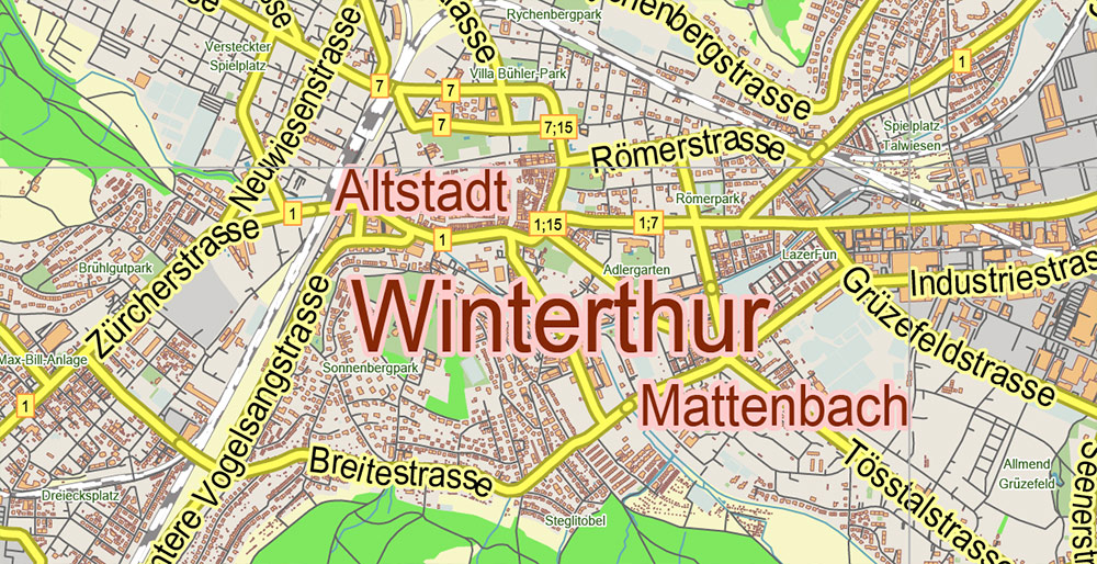
Winterthur Switzerland PDF Vector Map City Plan Low Detailed (for small print size) Street Map editable Adobe PDF in layers

Winterthur Switzerland PDF Vector Map City Plan Low Detailed (for small print size) Street Map editable Adobe PDF in layers

Winterthur Switzerland PDF Vector Map City Plan Low Detailed (for small print size) Street Map editable Adobe PDF in layers

Winterthur Switzerland PDF Vector Map City Plan Low Detailed (for small print size) Street Map editable Adobe PDF in layers

Winterthur Switzerland PDF Vector Map City Plan Low Detailed (for small print size) Street Map editable Adobe PDF in layers

Winterthur Switzerland PDF Vector Map City Plan Low Detailed (for small print size) Street Map editable Adobe PDF in layers

Winterthur Switzerland PDF Vector Map City Plan Low Detailed (for small print size) Street Map editable Adobe PDF in layers

Winterthur Switzerland PDF Vector Map City Plan Low Detailed (for small print size) Street Map editable Adobe PDF in layers

Winterthur Switzerland PDF Vector Map City Plan Low Detailed (for small print size) Street Map editable Adobe PDF in layers


Author: Kirill Shrayber, Ph.D.

I have been working with vector cartography for over 25 years, including GPS, GIS, Adobe Illustrator and other professional cartographic software.
Linkedin: https://www.linkedin.com/in/kirill-shrayber-0b839325/
Twitter: https://twitter.com/vectormapper

See more maps of this city / area / state / country

Menu